Tregonning Hill

Hill, Mountain in Cornwall

England

Tregonning Hill

Road to Germoe Off A394
Road to Germoe Credit: Chris Morgan

Tregonning Hill is a prominent hill located in the county of Cornwall, England. Rising to a height of approximately 194 meters (636 feet), it is situated near the village of Trewennack, in the western part of the county. Tregonning Hill forms a part of the wider Tregonning and Trewavas Mining District, which is known for its rich history of mining activities.

The hill itself is composed mainly of granite, reflecting the geological composition of the region. Its distinctive rounded shape and lush green vegetation make it a notable landmark in the area. Tregonning Hill offers stunning panoramic views of the surrounding countryside, with sights stretching as far as Mount's Bay and the Lizard Peninsula.

Aside from its natural beauty, Tregonning Hill also holds cultural significance. The hill features several ancient Bronze Age barrows, which are burial mounds dating back thousands of years. These archaeological remains provide insights into the region's ancient past and add an element of mystery and intrigue to the landscape.

Tregonning Hill is a popular destination for hikers, walkers, and nature enthusiasts, offering a variety of trails and footpaths to explore. Its relatively moderate slopes make it accessible to people of different fitness levels. Visitors can enjoy the tranquility of the countryside, spotting wildlife such as birds, butterflies, and even the occasional deer.

Overall, Tregonning Hill is an outstanding natural feature in Cornwall, offering both historical and recreational value to those who venture to its summit.

If you have any feedback on the listing, please let us know in the comments section below.

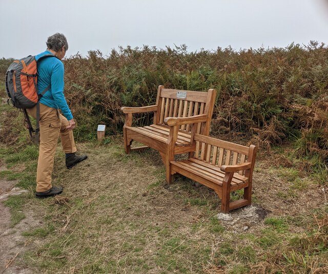
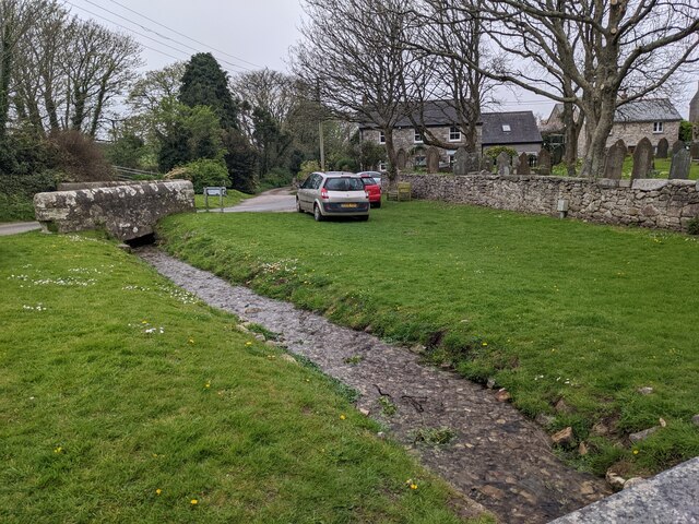
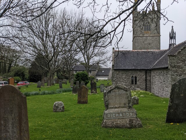
Tregonning Hill Images

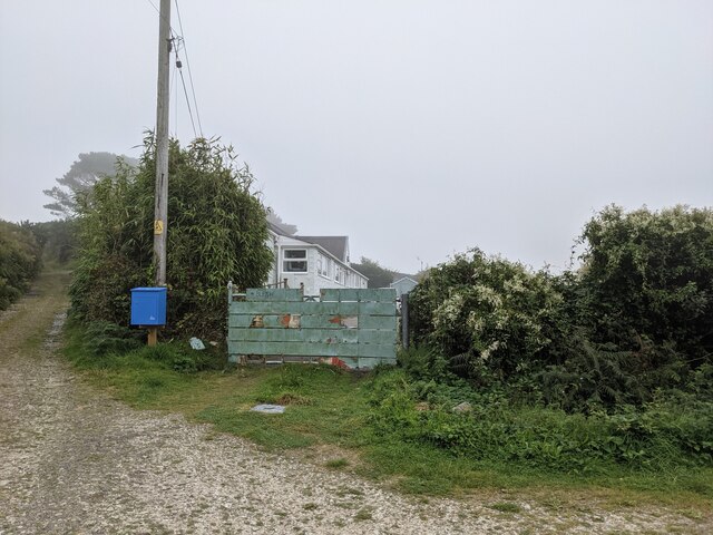
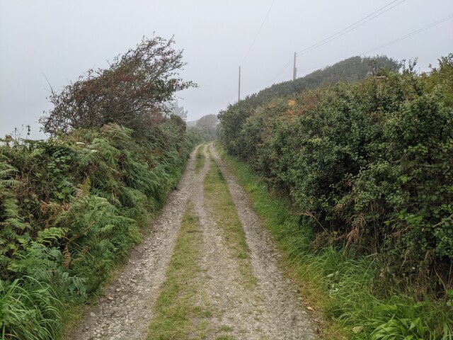
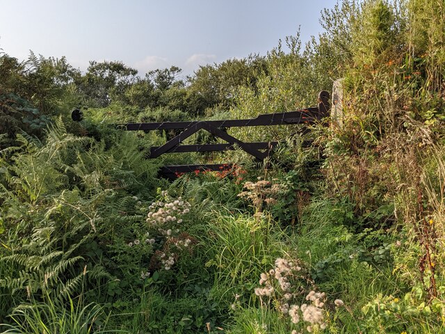
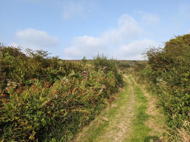
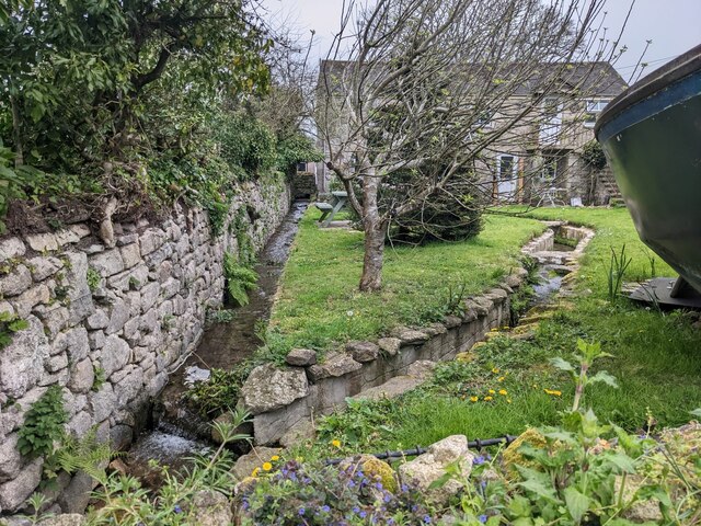
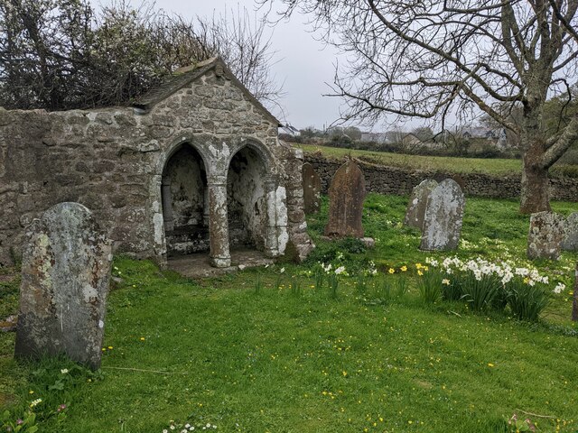
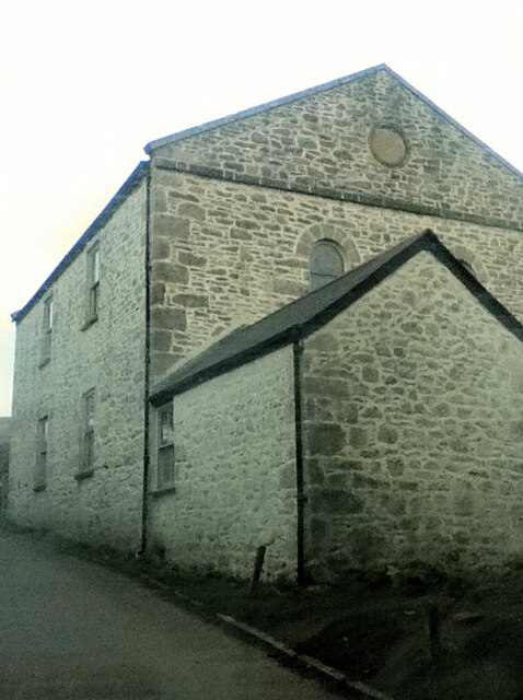
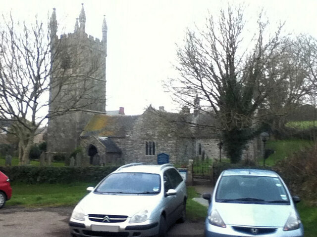
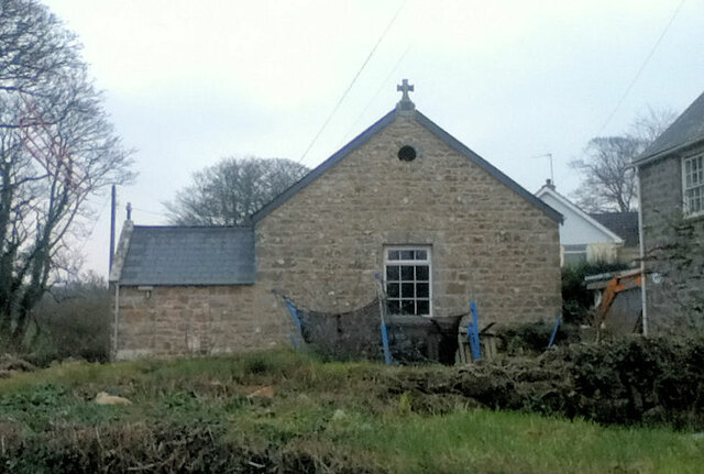
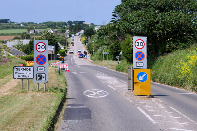
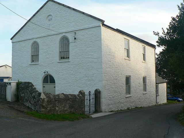
Images are sourced within 2km of 50.121772/-5.3599565 or Grid Reference SW5930. Thanks to Geograph Open Source API. All images are credited.

Road to Germoe Off A394
Road to Germoe
Off A394
A patchwork gate beside the lane to Tregonning Hill
The lane from Balwest This well-surfaced lane is classified as a footpath. It seems obvious that this was the lane serving the quarries on Tregonning Hill and should, at the least, be a bridleway. Cornwall Council have now (2021) raised a Definitive Map Modification Order (DMMO) to change its status.
The lane from Balwest
This well-surfaced lane is classified as a footpath. It seems obvious that this was the lane serving the quarries on Tregonning Hill and should, at the least, be a bridleway. Cornwall Council have now (2021) raised a Definitive Map Modification Order (DMMO) to change its status.
The lane to the clay pit Unused and very much overgrown.
The lane to the clay pit
Unused and very much overgrown.
Bridleway near the clay pit pool The pool is only a few yards to the left, but completely hidden by vegetation.
Bridleway near the clay pit pool
The pool is only a few yards to the left, but completely hidden by vegetation.
A rather touching memorial bench on Tregonning Hill
Stream and green space at Germoe
St Germoe's Well
St Germoe's Well
St Germoe's churchyard
Garden streams next to St Germoe's church
St Germoe's Chair Set into the wall of the churchyard.
St Germoe's Chair
Set into the wall of the churchyard.
Balwest Wesleyan Methodist Chapel from 1829
St Germoe Church
St Germoe Church
St Germoe Church
St Germoe Church
A394, Germoe Germoe is a village located on the A394 in Cornwall. It is situated approximately five miles (8 km) to the west of Helston and seven miles (11.3 km) to the east of Penzance.
A394, Germoe
Germoe is a village located on the A394 in Cornwall. It is situated approximately five miles (8 km) to the west of Helston and seven miles (11.3 km) to the east of Penzance.
A394 near Germoe Crossroads The A394 is a primary route running along the south coast of Cornwall linking Penzance to Falmouth via Helston and beyond. It is noteworthy for being the most southerly primary 'A' road in the UK.
A394 near Germoe Crossroads
The A394 is a primary route running along the south coast of Cornwall linking Penzance to Falmouth via Helston and beyond. It is noteworthy for being the most southerly primary 'A' road in the UK.
Layby on the A394 between Ashton and Germoe The A394 is a primary route running along the south coast of Cornwall linking Penzance to Falmouth via Helston and beyond. It is noteworthy for being the most southerly primary 'A' road in the UK.
Layby on the A394 between Ashton and Germoe
The A394 is a primary route running along the south coast of Cornwall linking Penzance to Falmouth via Helston and beyond. It is noteworthy for being the most southerly primary 'A' road in the UK.
Higher Chygwins
Higher Chygwins
Show me another place!

Tregonning Hill is located at Grid Ref: SW5930 (Lat: 50.121772, Lng: -5.3599565)

Unitary Authority: Cornwall

Police Authority: Devon and Cornwall

What 3 Words

///brotherly.even.canyons. Near Germoe, Cornwall

Related Wikis

Balwest

Balwest (Cornish: Bal West, meaning Western mine) is a hamlet in the civil parish of Germoe in west Cornwall, England, in the United Kingdom. The hamlet...

Tregonning Hill

Tregonning Hill is the westerly of two granite hills overlooking Mount's Bay in west Cornwall, England, United Kingdom, the other being Godolphin Hill...

Boscreege

Boscreege (Cornish: Boskrug) is a small village in the civil parish of Germoe in west Cornwall, in England, United Kingdom. The village is on the southern...

Great Work Mine

Great Work Mine was a Cornish mine between Godolphin hill and Tregonning Hill and is in the hamlet of Great Work on Bal Lane. Great Work is notable for...

Nearby Amenities

Located within 500m of 50.121772,-5.3599565
Balwest
Is In: Cornwall, England, UK
Is In Country: England
Is In Country Code: GB
Is In County: Cornwall
Place: hamlet
Source: npe
Wikidata: Q4853146
Wikipedia: en:Balwest
Lat/Long: 50.1210803/-5.3656238
camp
Historic: archaeological_site
Note: exact location uncertain
Source: NPE
Lat/Long: 50.125779/-5.3594867
Pencaire
Historic: archaeological_site
Source: NPE
Lat/Long: 50.1218843/-5.3603844
Germoe War Memorial
Historic: memorial
Lat/Long: 50.1218895/-5.3603649
Tregonning Hill
Ele: 194
Natural: peak
Wikidata: Q7837869
Lat/Long: 50.1218026/-5.3597725
Tregonning Hill
Description: OS trig pillar
Height: 194.072
Man Made: survey_point
Note: Accurate location import for imagery offset calibration
Ref: S1722
Source: Ordnance Survey (OGL)
Survey Point: pillar
Lat/Long: 50.1217641/-5.3600085
The data included in this document is from www.openstreetmap.org. The data is made available under ODbL.

Have you been to Tregonning Hill?

Leave your review of Tregonning Hill below (or comments, questions and feedback).