Boscreege

Settlement in Cornwall

England

Boscreege

OS Cut Mark: Germoe, Larkspur Cottage <span class="nowrap"><a title="https://www.bench-marks.org.uk/bm85462" rel="nofollow ugc noopener" href="https://www.bench-marks.org.uk/bm85462">Link</a><img style="margin-left:2px;" alt="External link" title="External link - shift click to open in new window" src="https://s1.geograph.org.uk/img/external.png" width="10" height="10"/></span>
OS Cut Mark: Germoe, Larkspur Cottage Credit: thejackrustles

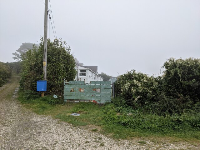
Boscreege is a small hamlet located in the county of Cornwall, in southwestern England. Situated near the town of Penzance, it is nestled amidst picturesque countryside and offers a tranquil and rural setting for its residents. Boscreege is part of the civil parish of Sancreed, which is known for its rich history and scenic beauty.

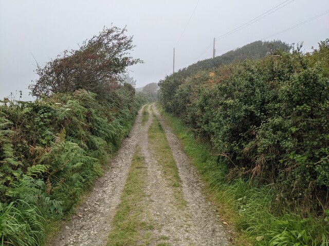
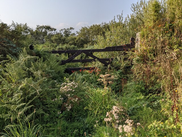
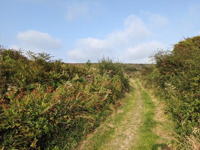
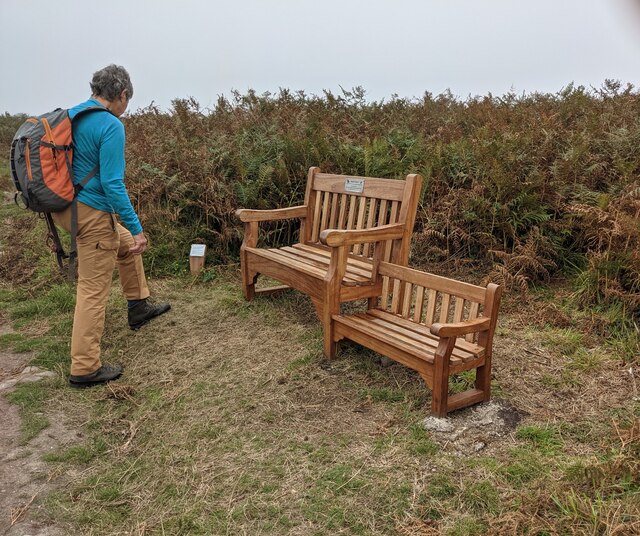
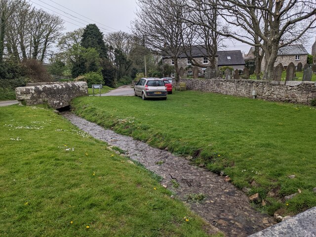
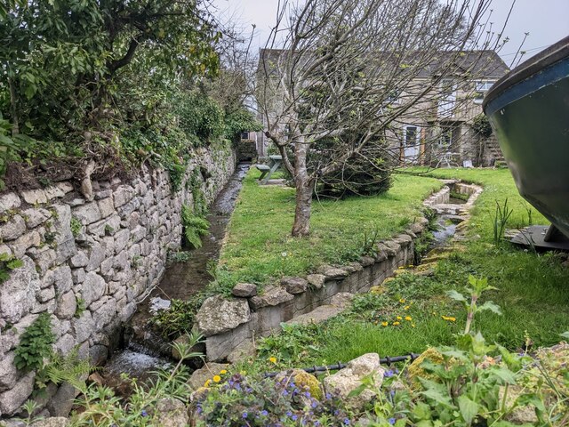
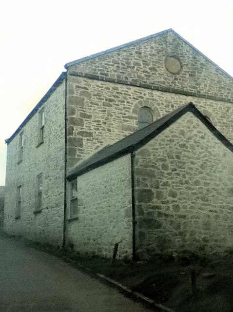
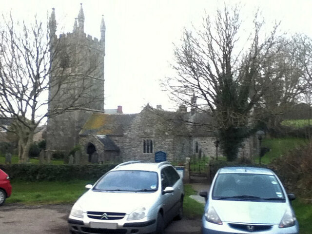
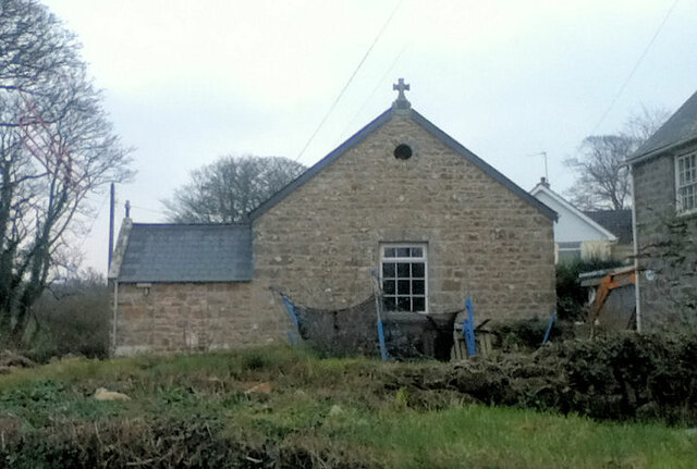
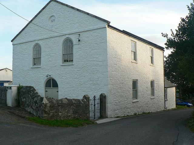
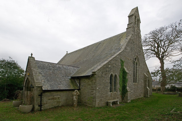
The hamlet is characterized by its charming stone cottages and traditional architecture, which provide a glimpse into its historic past. Surrounded by rolling hills and lush fields, Boscreege enjoys a peaceful atmosphere and stunning views of the surrounding countryside.

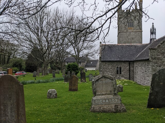
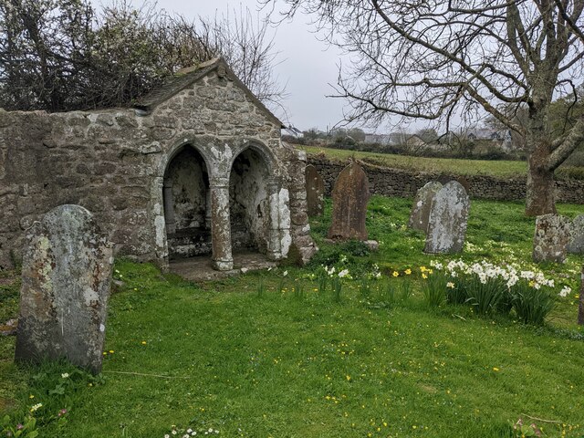
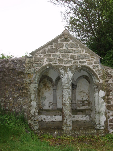
One of the notable features of Boscreege is its proximity to ancient archaeological sites. Just a short distance away, visitors can explore the remains of ancient settlements, including the Iron Age hillfort of Chun Castle and the standing stones of MĂȘn-an-Tol. These sites offer a fascinating insight into the area's past and attract history enthusiasts from far and wide.

Despite its small size, Boscreege benefits from its close proximity to Penzance. The larger town provides residents with a range of amenities, including shops, restaurants, and recreational facilities. Additionally, the beautiful beaches and coastal paths of Cornwall are easily accessible, offering residents and visitors the opportunity to enjoy the region's natural beauty and indulge in outdoor activities such as hiking, surfing, and beachcombing.

In summary, Boscreege is a tranquil and picturesque hamlet in Cornwall, offering a peaceful rural setting and easy access to both historic sites and the stunning coastline.

If you have any feedback on the listing, please let us know in the comments section below.

Boscreege Images

Images are sourced within 2km of 50.124172/-5.371273 or Grid Reference SW5930. Thanks to Geograph Open Source API. All images are credited.

OS Cut Mark: Germoe, Larkspur Cottage <span class="nowrap"><a title="https://www.bench-marks.org.uk/bm85462" rel="nofollow ugc noopener" href="https://www.bench-marks.org.uk/bm85462">Link</a><img style="margin-left:2px;" alt="External link" title="External link - shift click to open in new window" src="https://s1.geograph.org.uk/img/external.png" width="10" height="10"/></span>
OS Cut Mark: Germoe, Larkspur Cottage
A patchwork gate beside the lane to Tregonning Hill
The lane from Balwest This well-surfaced lane is classified as a footpath. It seems obvious that this was the lane serving the quarries on Tregonning Hill and should, at the least, be a bridleway. Cornwall Council have now (2021) raised a Definitive Map Modification Order (DMMO) to change its status.
The lane from Balwest
This well-surfaced lane is classified as a footpath. It seems obvious that this was the lane serving the quarries on Tregonning Hill and should, at the least, be a bridleway. Cornwall Council have now (2021) raised a Definitive Map Modification Order (DMMO) to change its status.
The lane to the clay pit Unused and very much overgrown.
The lane to the clay pit
Unused and very much overgrown.
Bridleway near the clay pit pool The pool is only a few yards to the left, but completely hidden by vegetation.
Bridleway near the clay pit pool
The pool is only a few yards to the left, but completely hidden by vegetation.
A rather touching memorial bench on Tregonning Hill
Stream and green space at Germoe
St Germoe's Well
St Germoe's Well
St Germoe's churchyard
Garden streams next to St Germoe's church
St Germoe's Chair Set into the wall of the churchyard.
St Germoe's Chair
Set into the wall of the churchyard.
Old Milestone by the A394, west of Germoe Carved stone post by the A394, in parish of Breage (Kerrier District), Newtown, beneath filling station sign, on South side of road. Helston facets, erected by the Helston turnpike trust in the 19th century. 

Inscription reads:-
PENZANCE / 7 / LANDS END / 17 : : HELSTON / 6 / FALMOUTH / 18 

Grade II listed.
List Entry Number: 1328329 

Milestone Society National ID: CW_PZHL07.
Old Milestone by the A394, west of Germoe
Carved stone post by the A394, in parish of Breage (Kerrier District), Newtown, beneath filling station sign, on South side of road. Helston facets, erected by the Helston turnpike trust in the 19th century. Inscription reads:- PENZANCE / 7 / LANDS END / 17 : : HELSTON / 6 / FALMOUTH / 18 Grade II listed. List Entry Number: 1328329 Milestone Society National ID: CW_PZHL07.
Balwest Wesleyan Methodist Chapel from 1829
St Germoe Church
St Germoe Church
St Germoe Church
St Germoe Church
Former Chapel by the A394
Texaco Filling Station at Newtown The A394 is a primary route running along the south coast of Cornwall linking Penzance to Falmouth via Helston and beyond. It is noteworthy for being the most southerly primary 'A' road in the UK.
Texaco Filling Station at Newtown
The A394 is a primary route running along the south coast of Cornwall linking Penzance to Falmouth via Helston and beyond. It is noteworthy for being the most southerly primary 'A' road in the UK.
A394, Germoe Germoe is a village located on the A394 in Cornwall. It is situated approximately five miles (8 km) to the west of Helston and seven miles (11.3 km) to the east of Penzance.
A394, Germoe
Germoe is a village located on the A394 in Cornwall. It is situated approximately five miles (8 km) to the west of Helston and seven miles (11.3 km) to the east of Penzance.
Show me another place!

Boscreege is located at Grid Ref: SW5930 (Lat: 50.124172, Lng: -5.371273)

Unitary Authority: Cornwall

Police Authority: Devon and Cornwall

What 3 Words

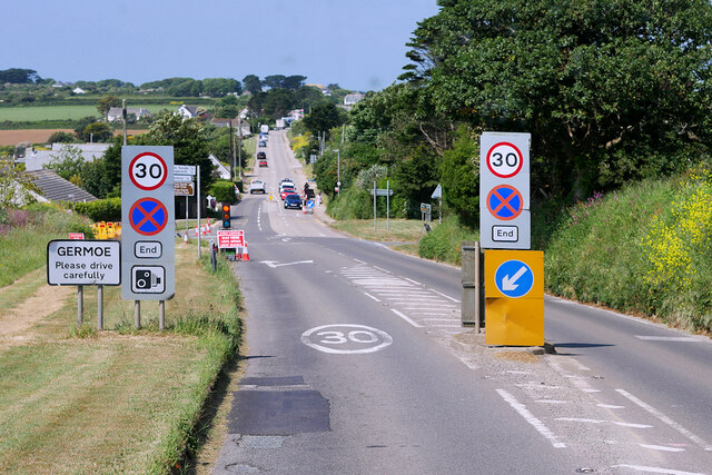
///eats.supply.disarmed. Near Germoe, Cornwall

Related Wikis

Boscreege

Boscreege (Cornish: Boskrug) is a small village in the civil parish of Germoe in west Cornwall, in England, United Kingdom.The village is on the southern...

Balwest

Balwest (Cornish: Bal West, meaning Western mine) is a hamlet in the civil parish of Germoe in west Cornwall, England, in the United Kingdom.The hamlet...

Great Work Mine

Great Work Mine was a Cornish mine between Godolphin hill and Tregonning Hill and is in the hamlet of Great Work on Bal Lane. Great Work is notable for...

Germoe

Germoe (Cornish: Germogh) is a village and civil parish in Cornwall, England, United Kingdom. Germoe village, the parish's main settlement and church town...

Tregonning Hill

Tregonning Hill is the westerly of two granite hills overlooking Mount's Bay in west Cornwall, England, United Kingdom, the other being Godolphin Hill...

Cornwall and West Devon Mining Landscape

The Cornwall and West Devon Mining Landscape is a World Heritage Site which includes select mining landscapes in Cornwall and West Devon in the south west...

Godolphin Estate

The Godolphin Estate is a National Trust property situated in Godolphin Cross, 7 km (4.3 mi) north-west of Helston in Cornwall, England. The house is a...

Godolphin Cross

Godolphin Cross (Cornish: Krows Hirlan) is a village in the former Kerrier District of west Cornwall, England. It is in the civil parish of Breage, midway...

Nearby Amenities

Located within 500m of 50.124172,-5.371273
Public Bookcase
Defibrillator
Access: yes
Booth: K6
Covered: booth
Defibrillator Location: inside old red phone box that is now a book exchange
Disused Amenity: telephone
Emergency: defibrillator
Man Made: telephone_box
Public Bookcase Type: phone_box
Lat/Long: 50.1268141/-5.3712793
Power: pole
Lat/Long: 50.1260312/-5.3725129
Power: pole
Lat/Long: 50.1258884/-5.3737146
Power: pole
Lat/Long: 50.1257818/-5.374648
Power: pole
Lat/Long: 50.1251404/-5.3757906
Power: pole
Lat/Long: 50.1259521/-5.3719711
Power: pole
Lat/Long: 50.126112/-5.3672344
Barrier: yes
Lat/Long: 50.1218069/-5.3685537
Power: pole
Lat/Long: 50.1260501/-5.3696725
Power: pole
Lat/Long: 50.120094/-5.3707588
Power: pole
Lat/Long: 50.1217484/-5.3718987
Power: pole
Lat/Long: 50.1225059/-5.3724432
Power: pole
Lat/Long: 50.1235644/-5.3731915
Power: pole
Lat/Long: 50.1246022/-5.372804
Power: pole
Lat/Long: 50.1258626/-5.37235
Power: pole
Lat/Long: 50.1240287/-5.3779055
Power: pole
Lat/Long: 50.1243778/-5.3772256
Power: pole
Lat/Long: 50.1247655/-5.3765309
Power: pole
Lat/Long: 50.1283714/-5.3724727
Power: pole
Lat/Long: 50.1276234/-5.3729045
Power: pole
Lat/Long: 50.1269451/-5.3732653
Power: pole
Lat/Long: 50.126179/-5.3725693
Power: pole
Lat/Long: 50.1261042/-5.3724995
The data included in this document is from www.openstreetmap.org. The data is made available under ODbL.

Have you been to Boscreege?

Leave your review of Boscreege below (or comments, questions and feedback).