Half Mile

Settlement in Yorkshire

England

Half Mile

Rugby pitches at Bramley Fall
Rugby pitches at Bramley Fall Credit: David Martin

Half Mile is a quaint village located in the picturesque countryside of Yorkshire, England. Situated halfway between the bustling cities of Leeds and Sheffield, this rural community offers a peaceful and idyllic setting for its residents. The village is nestled amidst rolling hills, verdant meadows, and meandering streams, showcasing the natural beauty of the region.

With a population of around 500 inhabitants, Half Mile exudes a close-knit and friendly atmosphere. The village is known for its tight community bonds, with residents often engaging in social activities and events that foster a sense of togetherness. The local pub, The Halfway Inn, acts as a central meeting point for both villagers and visitors, providing a cozy spot to enjoy a pint or traditional British cuisine.

Half Mile boasts a rich history, with some of its buildings dating back to the 17th century. The St. Mary's Church, a prominent landmark, stands as a testament to the village's heritage and offers a glimpse into its architectural past. Additionally, the village is surrounded by numerous walking trails and cycling paths, making it a popular choice for outdoor enthusiasts and nature lovers.

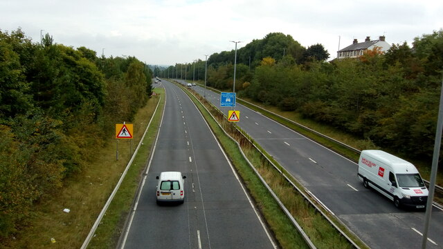
Despite its rural charm, Half Mile is well-connected to nearby towns and cities. The A1(M) motorway is easily accessible, providing convenient transportation links to the rest of Yorkshire and beyond. The village also benefits from a reliable public transportation system, ensuring easy access to amenities and services in the surrounding areas.

In summary, Half Mile is a tranquil village that embraces its natural surroundings and fosters a strong sense of community. With its rich history, stunning landscapes, and convenient location, it offers a quality of life that is highly sought after by those seeking a peaceful retreat in the heart of Yorkshire.

If you have any feedback on the listing, please let us know in the comments section below.
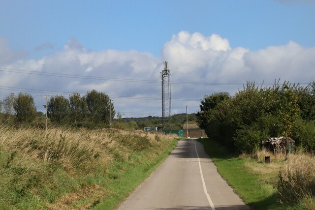
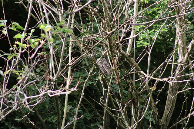
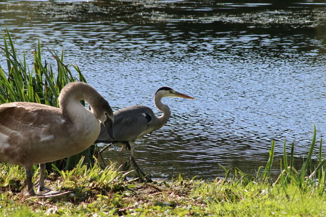
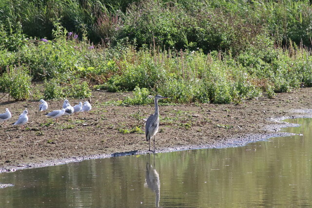
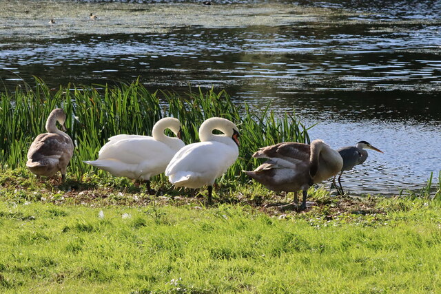
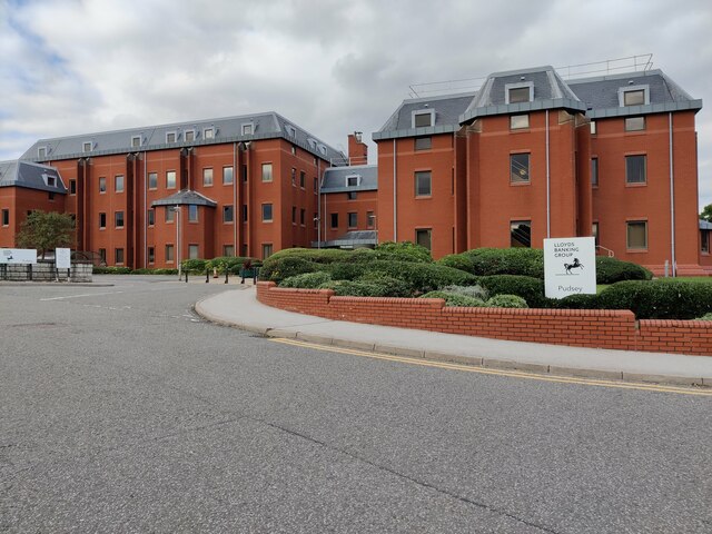
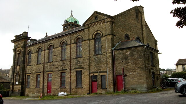
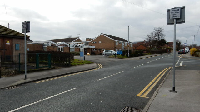
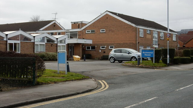
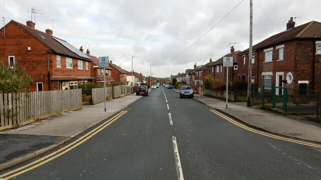
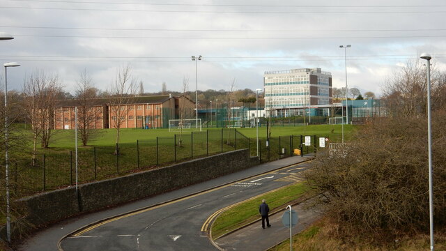
Half Mile Images

Images are sourced within 2km of 53.812413/-1.6592576 or Grid Reference SE2235. Thanks to Geograph Open Source API. All images are credited.

Rugby pitches at Bramley Fall
Communications Mast at Rodley Nature Reserve Looking down the entrance road heading in to Rodley Nature Reserve towards the Yorkshire Water Works at the far end. This mast carries the EE and Three mobile networks. Photograph taken on 29/09/2021.
Communications Mast at Rodley Nature Reserve
Looking down the entrance road heading in to Rodley Nature Reserve towards the Yorkshire Water Works at the far end. This mast carries the EE and Three mobile networks. Photograph taken on 29/09/2021.
Little Owl Hiding Amongst the Trees at Rodley Nature Reserve A Little Owl observed hiding amongst the trees near the Manager's Hide at Rodley Nature Reserve. Photograph taken on 29/09/2021.
Little Owl Hiding Amongst the Trees at Rodley Nature Reserve
A Little Owl observed hiding amongst the trees near the Manager's Hide at Rodley Nature Reserve. Photograph taken on 29/09/2021.
Heron and Swan Cygnet at Rodley Nature Reserve A Heron and a Swan Cygnet together at Rodley Nature Reserve. Photograph taken on 29/09/2021.
Heron and Swan Cygnet at Rodley Nature Reserve
A Heron and a Swan Cygnet together at Rodley Nature Reserve. Photograph taken on 29/09/2021.
Heron Looking Over the Water at Rodley Nature Reserve A Heron stands looking out over the lake at Rodley Nature Reserve. Photograph taken on 29/09/2021.
Heron Looking Over the Water at Rodley Nature Reserve
A Heron stands looking out over the lake at Rodley Nature Reserve. Photograph taken on 29/09/2021.
A Heron and Swans at Rodley Nature Reserve A Heron and some Swans at Rodley Nature Reserve. Photograph taken on 29/09/2021.
A Heron and Swans at Rodley Nature Reserve
A Heron and some Swans at Rodley Nature Reserve. Photograph taken on 29/09/2021.
Lloyds Banking Group Pudsey Office near Dawsons Corner, Farsley The outside of the Lloyds Banking Group office near Dawsons Corner, Farsley. Previously the building belonged to the Leeds Permanent Building Society and then the Halifax Building Society. The building is reported to be closing down later in 2021. Photograph taken on 26/09/2021.
Lloyds Banking Group Pudsey Office near Dawsons Corner, Farsley
The outside of the Lloyds Banking Group office near Dawsons Corner, Farsley. Previously the building belonged to the Leeds Permanent Building Society and then the Halifax Building Society. The building is reported to be closing down later in 2021. Photograph taken on 26/09/2021.
Former Trinity Methodist Church, Pudsey A view of the east side and rear from Mount Pleasant Heights. Grade II Listed c1899.
Former Trinity Methodist Church, Pudsey
A view of the east side and rear from Mount Pleasant Heights. Grade II Listed c1899.
The A647 Leeds Ring Road / Stanningley Bypass at Pudsey Viewed from Richardshaw Lane bridge.
The A647 Leeds Ring Road / Stanningley Bypass at Pudsey
Viewed from Richardshaw Lane bridge.
Richmond House Care Home, Farsley A view taken from Richmond Road looking towards Richmond House Care Home in Farsley. Photograph taken on 04/02/2018.
Richmond House Care Home, Farsley
A view taken from Richmond Road looking towards Richmond House Care Home in Farsley. Photograph taken on 04/02/2018.
Richmond Road, Farsley A view taken next to Richmond Road Care Home looking down Richmond Road. Photograph taken on 04/02/2018.
Richmond Road, Farsley
A view taken next to Richmond Road Care Home looking down Richmond Road. Photograph taken on 04/02/2018.
Co-Op Academy Priesthorpe, Farsley A view of Co-Op Academy Priesthorpe (formerly known as Priesthorpe High School) taken from the foot bridge over the A6120 Ring Road. Photograph taken on 04/02/2018.
Co-Op Academy Priesthorpe, Farsley
A view of Co-Op Academy Priesthorpe (formerly known as Priesthorpe High School) taken from the foot bridge over the A6120 Ring Road. Photograph taken on 04/02/2018.
Co-Op Academy Priesthorpe, Farsley The front of the Co-Op Academy Priesthorpe buildings and car park area. Photograph taken on 04/02/2018.
Co-Op Academy Priesthorpe, Farsley
The front of the Co-Op Academy Priesthorpe buildings and car park area. Photograph taken on 04/02/2018.
Pudsey Civic Hall Car Park, Farsley A view looking across Pudsey Civic Hall Car Park. Richmond Road and the Lloyds Banking Group Pudsey office are visible in the distance. Photograph taken on 04/02/2018.
Pudsey Civic Hall Car Park, Farsley
A view looking across Pudsey Civic Hall Car Park. Richmond Road and the Lloyds Banking Group Pudsey office are visible in the distance. Photograph taken on 04/02/2018.
The Old Hall Hotel, Farsley The Old Hall Hotel, Farsley. Photograph taken on 08/04/2018.
The Old Hall Hotel, Farsley
The Old Hall Hotel, Farsley. Photograph taken on 08/04/2018.
The Old Hall Hotel, Farsley The Old Hall Hotel, Farsley. Photograph taken on 08/04/2018.
The Old Hall Hotel, Farsley
The Old Hall Hotel, Farsley. Photograph taken on 08/04/2018.
Farsley Post Office Photograph showing the front of Farsley Post Office and Convenience Store. Photograph taken on 08/04/2018.
Farsley Post Office
Photograph showing the front of Farsley Post Office and Convenience Store. Photograph taken on 08/04/2018.
Show me another place!

Half Mile is located at Grid Ref: SE2235 (Lat: 53.812413, Lng: -1.6592576)

Division: West Riding

Unitary Authority: Leeds

Police Authority: West Yorkshire

What 3 Words

///cracks.oils.blunt. Near Pudsey, West Yorkshire

Related Wikis

The Citadel (Farsley)

The Citadel, previously known as Throstle Nest, is a football ground situated in Farsley, in the Metropolitan District of the City of Leeds in England...

Leeds West Academy

Leeds West Academy is a secondary school with academy status in Rodley, Leeds, West Yorkshire, England. It is well known for specialising its area of education...

Bagley, West Yorkshire

Bagley is a village in the City of Leeds metropolitan borough, West Yorkshire, England, once in the township of Farsley. The remains of the village (or...

Sunny Bank Mills

Sunny Bank Mills is a former textile mill, which specialised in worsted cloth, set in 10 acres of land located on Town Street, Farsley, Leeds, England...

Nearby Amenities

Located within 500m of 53.812413,-1.6592576
Crossing
Crossing: marked
Crossing Island: no
Crossing Markings: yes
Kerb: flush
Tactile Paving: yes
Lat/Long: 53.8085944/-1.6566022
Bus Stop
Intake Lane The Rowans
Bus: yes
Local Ref: 45012504
Naptan AtcoCode: 450012504
Naptan Bearing: SE
Naptan CommonName: Intake Lane The Rowans
Naptan Crossing: The Rowans
Naptan Indicator: Stop 45012504
Naptan PlusbusZoneRef: LEEDS
Naptan ShortCommonName: The Rowans
Naptan Street: Intake Lane
Naptan Verified: yes
Public Transport: platform
Ref: 45012504
Source: naptan_import
Lat/Long: 53.8123552/-1.6530658
Post Box
Operator: Royal Mail
Post Box Type: pillar
Postal Code: LS13
Ref: LS13 973
Lat/Long: 53.8132222/-1.654076
Traffic Calming: table
Lat/Long: 53.8145132/-1.6645435
Crossing
Button Operated: yes
Crossing: traffic_signals
Crossing Island: no
Tactile Paving: yes
Traffic Signals Sound: yes
Traffic Signals Vibration: yes
Lat/Long: 53.8083918/-1.6561927
Post Box
Collection Times: Mo-Fr 16:30, Sa 11:30
Operator: Royal Mail
Post Box Design: type_k
Post Box Type: pillar
Ref: LS28 394
Royal Cypher: EIIR
Royal Cypher Wikidata: Q33102113
Lat/Long: 53.8085193/-1.6564373
Post Box
Operator: Royal Mail
Post Box Type: pillar
Ref: LS13 974
Lat/Long: 53.8139836/-1.6592374
Bus Stop
Town Street Half Mile Lane
Bench: yes
Bin: no
Check Date Shelter: 2022-10-23
Lit: yes
Local Ref: 45010877
Naptan AtcoCode: 450010877
Naptan Bearing: W
Naptan CommonName: Town Street Half Mile Lane
Naptan Crossing: Half Mile Lane
Naptan Indicator: Stop 45010877
Naptan PlusbusZoneRef: LEEDS
Naptan ShortCommonName: Half Mile Lane
Naptan Street: Town Street
Naptan Verified: yes
Shelter: yes
Source: naptan_import
Tactile Paving: no
Timetable: yes
Lat/Long: 53.8082842/-1.6569493
Bus Stop
Intake Lane Coal Hill Lane
Local Ref: 45012334
Naptan AtcoCode: 450012334
Naptan Bearing: SE
Naptan CommonName: Intake Lane Coal Hill Lane
Naptan Crossing: Coal Hill Lane
Naptan Indicator: Stop 45012334
Naptan PlusbusZoneRef: LEEDS
Naptan ShortCommonName: Coal Hill Lane
Naptan Street: Intake Lane
Naptan Verified: no
Source: naptan_import
Lat/Long: 53.815319/-1.6559046
Bus Stop
Intake Lane Fernbank Avenue
Local Ref: 45012335
Naptan AtcoCode: 450012335
Naptan Bearing: NW
Naptan CommonName: Intake Lane Fernbank Avenue
Naptan Crossing: Fernbank Avenue
Naptan Indicator: Stop 45012335
Naptan PlusbusZoneRef: LEEDS
Naptan ShortCommonName: Fernbank Avenue
Naptan Street: Intake Lane
Naptan Verified: no
Source: naptan_import
Lat/Long: 53.8127328/-1.6536021
Bus Stop
Intake Lane Coal Hill Lane
Local Ref: 45012336
Naptan AtcoCode: 450012336
Naptan Bearing: NW
Naptan CommonName: Intake Lane Coal Hill Lane
Naptan Crossing: Coal Hill Lane
Naptan Indicator: Stop 45012336
Naptan PlusbusZoneRef: LEEDS
Naptan ShortCommonName: Coal Hill Lane
Naptan Street: Intake Lane
Naptan Verified: no
Source: naptan_import
Lat/Long: 53.8153466/-1.6561322
Bus Stop
Coal Hill Lane Intake Lane
Bench: yes
Local Ref: 45012390
Naptan AtcoCode: 450012390
Naptan Bearing: NE
Naptan CommonName: Coal Hill Lane Intake Lane
Naptan Crossing: Intake Lane
Naptan Indicator: Stop 45012390
Naptan PlusbusZoneRef: LEEDS
Naptan ShortCommonName: Intake Lane
Naptan Street: Coal Hill Lane
Naptan Verified: no
Shelter: yes
Source: naptan_import
Tactile Paving: no
Lat/Long: 53.8157145/-1.6559165
Bus Stop
Coal Hill Lane Bagley Lane
Bench: no
Local Ref: 45012391
Naptan AtcoCode: 450012391
Naptan Bearing: SE
Naptan CommonName: Coal Hill Lane Bagley Lane
Naptan Crossing: Bagley Lane
Naptan Indicator: Stop 45012391
Naptan PlusbusZoneRef: LEEDS
Naptan ShortCommonName: Bagley Lane
Naptan Street: Coal Hill Lane
Naptan Verified: no
Shelter: yes
Source: naptan_import
Tactile Paving: no
Lat/Long: 53.8154514/-1.6613562
Bus Stop
Coal Hill Lane Farsley
Local Ref: 45012392
Naptan AtcoCode: 450012392
Naptan Bearing: NW
Naptan CommonName: Coal Hill Lane Farsley
Naptan Crossing: Nr-At Bagley Lane
Naptan Indicator: Stop 45012392
Naptan PlusbusZoneRef: LEEDS
Naptan ShortCommonName: Broom Mills
Naptan Street: Coal Hill Lane
Naptan Verified: no
Source: naptan_import
Lat/Long: 53.8153438/-1.6614634
Bus Stop
Coal Hill Lane Intake Lane
Bench: no
Local Ref: 45025180
Naptan AtcoCode: 450025180
Naptan Bearing: SW
Naptan CommonName: Coal Hill Lane Intake Lane
Naptan Crossing: Intake Lane
Naptan Indicator: Stop 45025180
Naptan PlusbusZoneRef: LEEDS
Naptan ShortCommonName: Intake Lane
Naptan Street: Coal Hill Lane
Naptan Verified: no
Shelter: no
Source: naptan_import
Tactile Paving: no
Lat/Long: 53.8156602/-1.6557803
Power: substation
Lat/Long: 53.8151418/-1.6621586
Turning Circle
Lat/Long: 53.813125/-1.6569397
Turning Circle
Lat/Long: 53.810484/-1.6590169
Turning Circle
Lat/Long: 53.8096456/-1.6596403
Turning Circle
Lat/Long: 53.8102781/-1.6597879
Power: substation
Lat/Long: 53.8092438/-1.6567292
Turning Circle
Lat/Long: 53.8110398/-1.6609911
Traffic Calming: table
Lat/Long: 53.814559/-1.6644696
Traffic Calming: cushion
Lat/Long: 53.8115793/-1.6638577
Traffic Calming: cushion
Lat/Long: 53.8121763/-1.6627855
Turning Circle
Lat/Long: 53.8135056/-1.6641452
Traffic Calming: cushion
Lat/Long: 53.8130328/-1.6623524
Bicycle Parking
Bicycle Parking: stands
Capacity: 2
Covered: no
Lat/Long: 53.8086728/-1.6563726
Traffic Calming: cushion
Lat/Long: 53.8111983/-1.6650502
Noexit: yes
Lat/Long: 53.8106408/-1.6618949
Traffic Calming: cushion
Lat/Long: 53.8128956/-1.6655309
Traffic Calming: cushion
Lat/Long: 53.8133708/-1.6663882
Traffic Calming: cushion
Lat/Long: 53.8136051/-1.6653077
Traffic Calming: cushion
Lat/Long: 53.8138853/-1.6632848
Traffic Calming: cushion
Lat/Long: 53.8154394/-1.6638438
Turning Circle
Lat/Long: 53.8142592/-1.6545716
Traffic Calming: cushion
Lat/Long: 53.8137553/-1.6545178
Cafe
Breakfast Club
Addr City: Leeds
Addr Housename: Summerfield Primary School
Addr Postcode: LS13 1DQ
Addr Street: Intake Lane
Addr Suburb: Rodley
Fhrs Id: 321596
Lat/Long: 53.8134152/-1.6534612
Kindergarten
Childrens Corner
Addr City: Leeds
Addr Housename: Valley View Community Primary School
Addr Postcode: LS13 1DD
Addr Street: Coal Hill Drive
Addr Suburb: Rodley
Fhrs Id: 974969
Lat/Long: 53.8162577/-1.6583508
Breakfast Club
Addr City: Leeds
Addr Housename: Valley View Community Primary School
Addr Postcode: LS13 1DD
Addr Street: Coal Hill Drive
Addr Suburb: Rodley
Craft: caterer
Fhrs Id: 559045
Lat/Long: 53.816226/-1.65856
Waste Basket
Collection Times: Tu; Th
Condition: GOOD
Ref UK Leedscc Bin: 5796
Waste Basket Model: METAL SQUARE
Lat/Long: 53.815854/-1.657276
Waste Basket
Collection Times: Tu; Th
Condition: FAIR
Ref UK Leedscc Bin: 5030
Waste Basket Model: METAL TWIN
Lat/Long: 53.815328/-1.655672
Waste Basket
Collection Times: Tu; Th
Condition: FAIR
Ref UK Leedscc Bin: 5799
Waste Basket Model: METAL TWIN
Lat/Long: 53.81457/-1.655003
Waste Basket
Collection Times: Tu; Th
Condition: FAIR
Ref UK Leedscc Bin: 5029
Waste Basket Model: METAL TWIN
Lat/Long: 53.813167/-1.653675
Waste Basket
Collection Times: Tu; Th
Condition: GOOD
Ref UK Leedscc Bin: 5028
Waste Basket Model: METAL SQUARE
Lat/Long: 53.812639/-1.653717
Waste Basket
Collection Times: Tu; Th
Condition: GOOD
Ref UK Leedscc Bin: 5027
Waste Basket Model: METAL SQUARE
Lat/Long: 53.812494/-1.652922
Waste Basket
Collection Times: Tu; Th
Condition: GOOD
Ref UK Leedscc Bin: 1727
Waste Basket Model: METAL SQUARE
Lat/Long: 53.809604/-1.654503
Waste Basket
Collection Times: Tu; Th
Condition: GOOD
Ref UK Leedscc Bin: 1210
Waste Basket Model: METAL SQUARE
Lat/Long: 53.808545/-1.656225
Crossing
Crossing: uncontrolled
Crossing Island: no
Crossing Ref: zebra
Kerb: lowered
Supervised: no
Tactile Paving: yes
Lat/Long: 53.8154184/-1.657062
Generator Method: photovoltaic
Generator Output Electricity: small_installation
Generator Source: solar
Generator Type: solar_photovoltaic_panel
Location: roof
Power: generator
Lat/Long: 53.8126241/-1.6640787
Generator Method: photovoltaic
Generator Output Electricity: small_installation
Generator Source: solar
Generator Type: solar_photovoltaic_panel
Location: roof
Power: generator
Lat/Long: 53.8114942/-1.663042
Generator Method: photovoltaic
Generator Output Electricity: small_installation
Generator Source: solar
Generator Type: solar_photovoltaic_panel
Location: roof
Power: generator
Lat/Long: 53.810641/-1.6662218
The data included in this document is from www.openstreetmap.org. The data is made available under ODbL.

Have you been to Half Mile?

Leave your review of Half Mile below (or comments, questions and feedback).