Half Acres

Settlement in Yorkshire

England

Half Acres

Lock Lane boatyard repairers and dry dock, Castleford
Lock Lane boatyard repairers and dry dock, Castleford Credit: derek dye

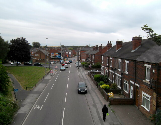
Half Acres is a small village located in the county of Yorkshire, in Northern England. Situated in the metropolitan borough of Kirklees, this picturesque village is nestled amidst the rolling hills and scenic landscapes that Yorkshire is renowned for. With a population of around 500 residents, Half Acres exudes a close-knit community atmosphere.

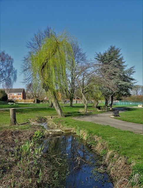
The village of Half Acres boasts a rich history, dating back to medieval times when it was primarily an agricultural settlement. Today, remnants of its past can still be seen in the form of traditional stone-built houses and charming farm buildings scattered throughout the area.

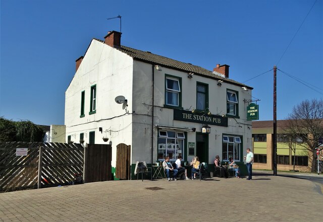
Despite its small size, Half Acres offers a range of amenities to its residents. The village has a well-maintained primary school, providing education for local children, and a community center that serves as a hub for various social and recreational activities. Additionally, there is a local pub where locals and visitors can gather for a drink and socialize.

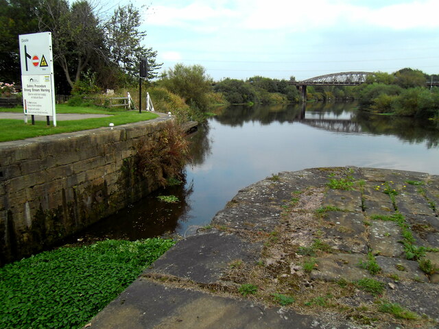
Surrounded by idyllic countryside, Half Acres offers ample opportunities for outdoor pursuits. The village is situated close to several nature reserves and walking trails, making it an ideal destination for nature lovers and hikers. The picturesque scenery also attracts photographers and artists seeking inspiration.

Half Acres is well-connected to the nearby towns and cities, with good transportation links enabling residents to access a wider range of services and amenities. The village provides a tranquil and peaceful environment, perfect for those seeking a quieter rural lifestyle, while still being within reach of urban conveniences.

If you have any feedback on the listing, please let us know in the comments section below.
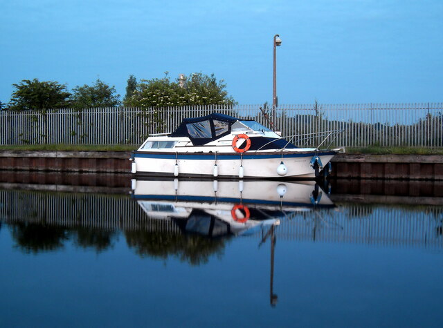
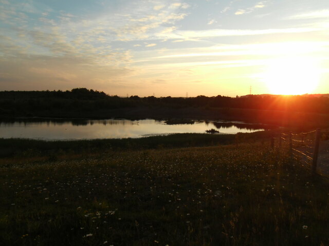
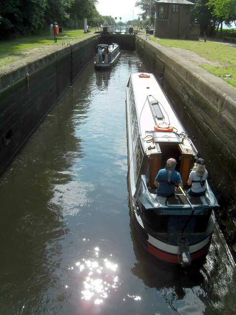
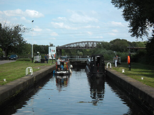
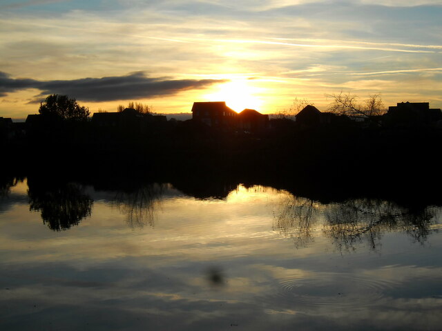
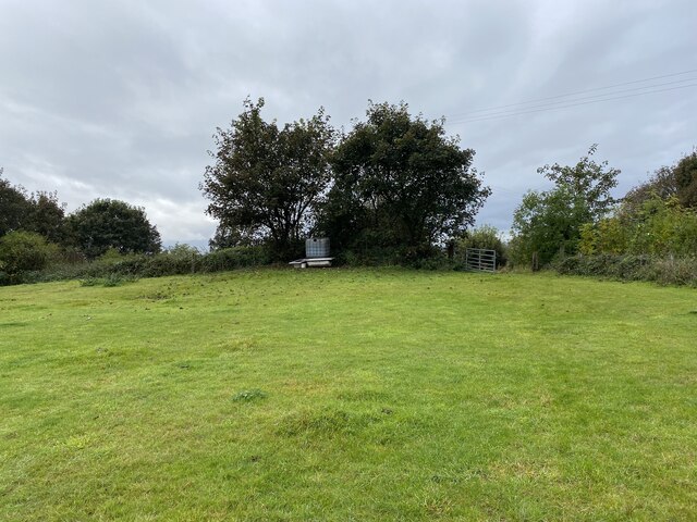
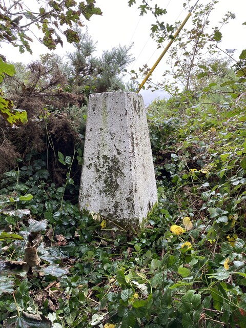
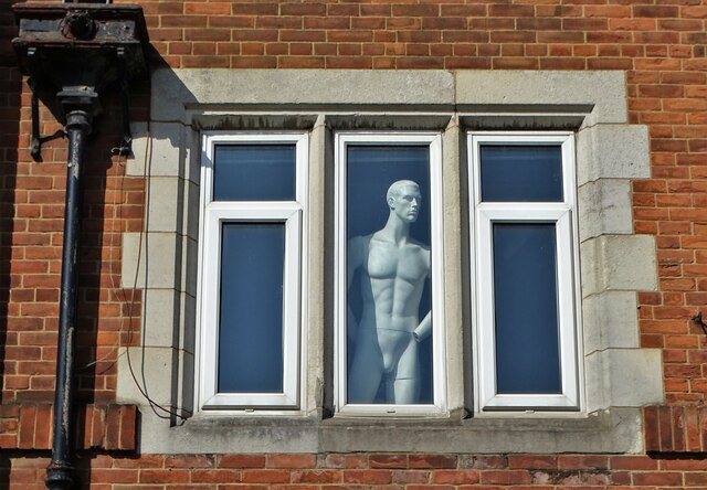
Half Acres Images

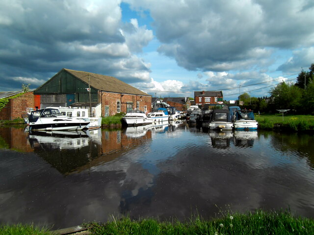
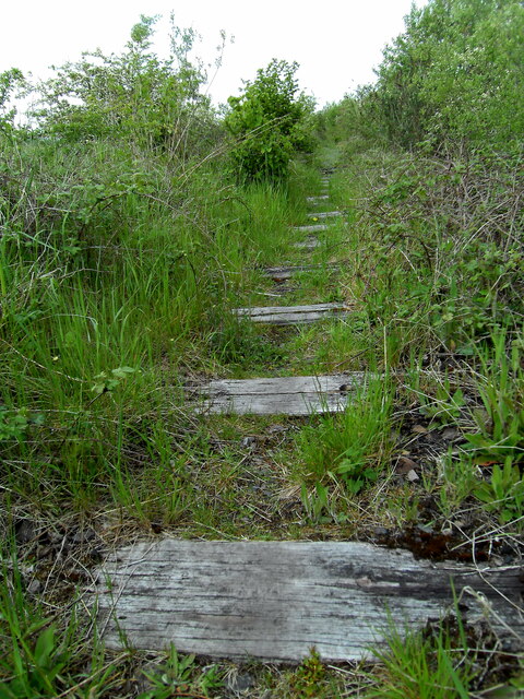
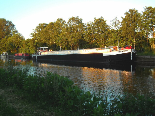
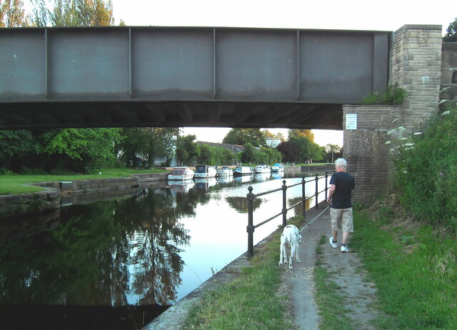
Images are sourced within 2km of 53.719794/-1.3557486 or Grid Reference SE4225. Thanks to Geograph Open Source API. All images are credited.

Lock Lane boatyard repairers and dry dock, Castleford
Course of disused railway line The old railway line that once led over the Iron Bridge towards Allerton Bywater.
Course of disused railway line
The old railway line that once led over the Iron Bridge towards Allerton Bywater.
The "Freda Careless". Barge moored on the canal at Lock Lane Castleford.
The "Freda Careless".
Barge moored on the canal at Lock Lane Castleford.
Lock Lane road bridge Castleford Road bridge over the Aire and Calder Navigation canal
Lock Lane road bridge Castleford
Road bridge over the Aire and Calder Navigation canal
Boat reflection Boat mirror image at Lock Lane, Castleford.
Boat reflection
Boat mirror image at Lock Lane, Castleford.
The light's fading fast Lock Lane, Castleford
The light's fading fast
Lock Lane, Castleford
Narrowbots in Bullholme locks Castleford
Waiting to descend locks A pair of narrow boats in Bullholme locks, Castleford, waiting to descend and enter the river system.
Waiting to descend locks
A pair of narrow boats in Bullholme locks, Castleford, waiting to descend and enter the river system.
A view from a bridge, Cutsyke View from old railway bridge (now a bridle/footpath) at Cutsyke, Castleford, looking towards the crossroads.
A view from a bridge, Cutsyke
View from old railway bridge (now a bridle/footpath) at Cutsyke, Castleford, looking towards the crossroads.
Cutsyke bridle path way marker
Bee collecting pollen from a Thistle
Water hyacinth clogging Bullholme Locks, Castleford
Confluence Sunset The sun sets on Navigation point housing estate at the confluence of the rivers Aire and Calder at Castleford
Confluence Sunset
The sun sets on Navigation point housing estate at the confluence of the rivers Aire and Calder at Castleford
View towards Holywell Wood Trig Point
Holywell Wood Trig Point Flush Bracket S4200
An upper window on Bridge Street, Castleford And I understood that Castleford was a rugby league town!
An upper window on Bridge Street, Castleford
And I understood that Castleford was a rugby league town!
Valley Gardens, Castleford
"The Station Pub", Castleford
Show me another place!

Half Acres is located at Grid Ref: SE4225 (Lat: 53.719794, Lng: -1.3557486)

Division: West Riding

Unitary Authority: Wakefield

Police Authority: West Yorkshire

What 3 Words

///dreams.belt.barks. Near Castleford, West Yorkshire

Nearby Locations

Half Acres Castleford

Related Wikis

Castleford

Castleford is a town within the City of Wakefield district, West Yorkshire, England. It had a population of 45,106 at a 2021 population estimate. Historically...

Normanton, Pontefract and Castleford (UK Parliament constituency)

Normanton, Pontefract and Castleford is a constituency in West Yorkshire represented in the House of Commons of the UK Parliament by Yvette Cooper of the...

Castleford railway station

Castleford railway station serves the town of Castleford in West Yorkshire. It lies on the Hallam and Pontefract lines, 11 miles (18 km) south-east of...

Castleford bus station

Castleford Bus Station serves the town of Castleford, West Yorkshire, England. The bus station is owned and managed by West Yorkshire Metro. The bus station...

Nearby Amenities

Located within 500m of 53.719794,-1.3557486
Railway: switch
Lat/Long: 53.7237694/-1.3564814
Bus Stop
Lisheen Avenue Thornhill Road
Bus: yes
Local Ref: 45014647
Naptan AtcoCode: 450014647
Naptan Bearing: N
Naptan CommonName: Lisheen Avenue Thornhill Road
Naptan Crossing: Thornhill Road
Naptan Indicator: Stop 45014647
Naptan PlusbusZoneRef: LEEDS
Naptan ShortCommonName: Thornhill Road
Naptan Street: Lisheen Avenue
Naptan Verified: no
Public Transport: platform
Source: naptan_import
Lat/Long: 53.7188304/-1.3487965
Bus Stop
Lisheen Avenue Blands Close
Bus: yes
Local Ref: 45014648
Naptan AtcoCode: 450014648
Naptan Bearing: N
Naptan CommonName: Lisheen Avenue Blands Close
Naptan Crossing: Bland Close
Naptan Indicator: Stop 45014648
Naptan PlusbusZoneRef: LEEDS
Naptan ShortCommonName: Blands Close
Naptan Street: Lisheen Avenue
Naptan Verified: no
Public Transport: platform
Source: naptan_import
Lat/Long: 53.7199808/-1.3487635
Bus Stop
Lisheen Avenue Blands Close
Bus: yes
Local Ref: 45014649
Naptan AtcoCode: 450014649
Naptan Bearing: S
Naptan CommonName: Lisheen Avenue Blands Close
Naptan Crossing: Blands Close
Naptan Indicator: Stop 45014649
Naptan PlusbusZoneRef: LEEDS
Naptan ShortCommonName: Blands Close
Naptan Street: Lisheen Avenue
Naptan Verified: no
Public Transport: platform
Source: naptan_import
Lat/Long: 53.7201423/-1.3487156
Bus Stop
Smawthorne Lane Lisheen Avenue
Bus: yes
Local Ref: 45014651
Naptan AtcoCode: 450014651
Naptan Bearing: SW
Naptan CommonName: Smawthorne Lane Lisheen Avenue
Naptan Crossing: Lisheen Avenue
Naptan Indicator: Stop 45014651
Naptan PlusbusZoneRef: LEEDS
Naptan ShortCommonName: Lisheen Avenue
Naptan Street: Smawthorne Lane
Naptan Verified: no
Public Transport: platform
Source: naptan_import
Lat/Long: 53.7219613/-1.349324
Bus Stop
Smawthorne Lane Smawthorne Avenue
Bus: yes
Local Ref: 45014652
Naptan AtcoCode: 450014652
Naptan Bearing: E
Naptan CommonName: Smawthorne Lane Smawthorne Avenue
Naptan Crossing: Smawthorne Avenue
Naptan Indicator: Stop 45014652
Naptan Landmark: Smawthorne Hotel
Naptan PlusbusZoneRef: LEEDS
Naptan ShortCommonName: Smawthorne Avenue
Naptan Street: Smawthorne Lane
Naptan Verified: no
Public Transport: platform
Source: naptan_import
Lat/Long: 53.7212079/-1.3529425
Bus Stop
Beancroft Road Hugh Street
Bus: yes
Local Ref: 45014653
Naptan AtcoCode: 450014653
Naptan Bearing: N
Naptan CommonName: Beancroft Road Hugh Street
Naptan Crossing: Hugh Street
Naptan Indicator: Stop 45014653
Naptan PlusbusZoneRef: LEEDS
Naptan ShortCommonName: Hugh Street
Naptan Street: Beancroft Road
Naptan Verified: no
Public Transport: platform
Source: naptan_import
Lat/Long: 53.7219597/-1.355674
Bus Stop
Beancroft Road Hugh Street
Bus: yes
Local Ref: 45014654
Naptan AtcoCode: 450014654
Naptan Bearing: S
Naptan CommonName: Beancroft Road Hugh Street
Naptan Crossing: Hugh Street
Naptan Indicator: Stop 45014654
Naptan Landmark: Church
Naptan PlusbusZoneRef: LEEDS
Naptan ShortCommonName: Hugh Street
Naptan Street: Beancroft Road
Naptan Verified: no
Public Transport: platform
Source: naptan_import
Lat/Long: 53.7218961/-1.3555537
Bus Stop
Barnes Road Quarry Court
Bus: yes
Local Ref: 45014655
Naptan AtcoCode: 450014655
Naptan Bearing: S
Naptan CommonName: Barnes Road Quarry Court
Naptan Crossing: Quarry Court
Naptan Indicator: Stop 45014655
Naptan Landmark: ASDA Superstore
Naptan PlusbusZoneRef: LEEDS
Naptan ShortCommonName: Quarry Court
Naptan Street: Barnes Road
Naptan Verified: no
Public Transport: platform
Source: naptan_import
Lat/Long: 53.7155613/-1.3542717
Bus Stop
Lower Oxford Street Beancroft Road
Bus: yes
Local Ref: 45018682
Naptan AtcoCode: 450018682
Naptan Bearing: W
Naptan CommonName: Lower Oxford Street Beancroft Road
Naptan Crossing: Beancroft Road
Naptan Indicator: Stop 45018682
Naptan PlusbusZoneRef: LEEDS
Naptan ShortCommonName: Beancroft Road
Naptan Street: Lower Oxford Street
Naptan Verified: no
Public Transport: platform
Source: naptan_import
Lat/Long: 53.7230267/-1.3551879
Bus Stop
Beancroft Road Cambridge Street
Bus: yes
Local Ref: 45023668
Naptan AtcoCode: 450023668
Naptan Bearing: NE
Naptan CommonName: Beancroft Road Cambridge Street
Naptan Crossing: Cambridge Street
Naptan Indicator: Stop 45023668
Naptan PlusbusZoneRef: LEEDS
Naptan ShortCommonName: Cambridge Street
Naptan Street: Beancroft Road
Naptan Verified: no
Public Transport: platform
Source: naptan_import
Lat/Long: 53.723569/-1.3557555
Bus Stop
Beancroft Street Beancroft Road
Bus: yes
Local Ref: 45023355
Naptan AtcoCode: 450023355
Naptan Bearing: W
Naptan CommonName: Beancroft Street Beancroft Road
Naptan Crossing: Beancroft Road
Naptan Indicator: Stop 45023355
Naptan Landmark: Fire Station
Naptan PlusbusZoneRef: LEEDS
Naptan ShortCommonName: Beancroft Road
Naptan Street: Beancroft Street
Naptan Verified: no
Public Transport: platform
Source: naptan_import
Lat/Long: 53.7197046/-1.3561086
Bus Stop
Beancroft Street Leaf Street
Bus: yes
Local Ref: 45023356
Naptan AtcoCode: 450023356
Naptan Bearing: W
Naptan CommonName: Beancroft Street Leaf Street
Naptan Crossing: Leaf Street
Naptan Indicator: Stop 45023356
Naptan PlusbusZoneRef: LEEDS
Naptan ShortCommonName: Leaf Street
Naptan Street: Beancroft Street
Naptan Verified: no
Public Transport: platform
Source: naptan_import
Lat/Long: 53.719342/-1.3586539
Bus Stop
John Street Beancroft Street
Bus: yes
Local Ref: 45023357
Naptan AtcoCode: 450023357
Naptan Bearing: N
Naptan CommonName: John Street Beancroft Street
Naptan Crossing: Beancroft Street
Naptan Indicator: Stop 45023357
Naptan PlusbusZoneRef: LEEDS
Naptan ShortCommonName: Beancroft Street
Naptan Street: John Street
Naptan Verified: no
Public Transport: platform
Source: naptan_import
Lat/Long: 53.7189774/-1.3593869
Bus Stop
Falcon Drive Fulmar Road
Bus: yes
Local Ref: 45023358
Naptan AtcoCode: 450023358
Naptan Bearing: S
Naptan CommonName: Falcon Drive Fulmar Road
Naptan Crossing: Fulmar Road
Naptan Indicator: Stop 45023358
Naptan PlusbusZoneRef: LEEDS
Naptan ShortCommonName: Fulmar Road
Naptan Street: Falcon Drive
Naptan Verified: no
Public Transport: platform
Source: naptan_import
Lat/Long: 53.7174912/-1.3588033
Bus Stop
Falcon Drive Gannett Close
Bus: yes
Local Ref: 45023359
Naptan AtcoCode: 450023359
Naptan Bearing: NW
Naptan CommonName: Falcon Drive Gannett Close
Naptan Crossing: Garnnett Close
Naptan Indicator: Stop 45023359
Naptan PlusbusZoneRef: LEEDS
Naptan ShortCommonName: Garnnett Close
Naptan Street: Falcon Drive
Naptan Verified: no
Public Transport: platform
Source: naptan_import
Lat/Long: 53.7164451/-1.3581676
Bus Stop
Falcon Drive Gannett Close
Bus: yes
Local Ref: 45023360
Naptan AtcoCode: 450023360
Naptan Bearing: SE
Naptan CommonName: Falcon Drive Gannett Close
Naptan Crossing: Gannett Close
Naptan Indicator: Stop 45023360
Naptan PlusbusZoneRef: LEEDS
Naptan ShortCommonName: Gannett Close
Naptan Street: Falcon Drive
Naptan Verified: no
Public Transport: platform
Source: naptan_import
Lat/Long: 53.7163892/-1.3578048
Bus Stop
Falcon Drive Teal Close
Bus: yes
Local Ref: 45023361
Naptan AtcoCode: 450023361
Naptan Bearing: W
Naptan CommonName: Falcon Drive Teal Close
Naptan Crossing: Teal Close
Naptan Indicator: Stop 45023361
Naptan PlusbusZoneRef: LEEDS
Naptan ShortCommonName: Teal Close
Naptan Street: Falcon Drive
Naptan Verified: no
Public Transport: platform
Source: naptan_import
Lat/Long: 53.7160486/-1.3563098
Bus Stop
Falcon Drive Sheldrake Road
Bus: yes
Local Ref: 45023362
Naptan AtcoCode: 450023362
Naptan Bearing: E
Naptan CommonName: Falcon Drive Sheldrake Road
Naptan Crossing: Sheldrake Road
Naptan Indicator: Stop 45023362
Naptan PlusbusZoneRef: LEEDS
Naptan ShortCommonName: Sheldrake Road
Naptan Street: Falcon Drive
Naptan Verified: no
Public Transport: platform
Source: naptan_import
Lat/Long: 53.7161638/-1.3559899
Bus Stop
Falcon Drive Fulmar Road
Bus: yes
Local Ref: 45028119
Naptan AtcoCode: 450028119
Naptan Bearing: N
Naptan CommonName: Falcon Drive Fulmar Road
Naptan Crossing: Fulmar Road
Naptan Indicator: Stop 45028119
Naptan Landmark: Unknown
Naptan PlusbusZoneRef: LEEDS
Naptan ShortCommonName: Fulmar Road
Naptan Street: Falcon Drive
Naptan Verified: no
Public Transport: platform
Source: naptan_import
Lat/Long: 53.7176994/-1.359088
Bus Stop
Smawthorne Lane Lisheen Avenue
Bus: yes
Local Ref: 45050204
Naptan AtcoCode: 450050204
Naptan Bearing: NE
Naptan BusStopType: CUS
Naptan CommonName: Smawthorne Lane Lisheen Avenue
Naptan Indicator: Stop 45050204
Naptan PlusbusZoneRef: LEEDS
Naptan ShortCommonName: Lisheen Avenue
Naptan Street: Smawthorne Lane
Naptan Verified: no
Public Transport: platform
Source: naptan_import
Lat/Long: 53.7220697/-1.3494132
Bus Stop
Smawthorne Lane Smawthorne Avenue
Bus: yes
Local Ref: 45050205
Naptan AtcoCode: 450050205
Naptan Bearing: W
Naptan BusStopType: CUS
Naptan CommonName: Smawthorne Lane Smawthorne Avenue
Naptan Indicator: Stop 45050205
Naptan PlusbusZoneRef: LEEDS
Naptan ShortCommonName: Smawthorne Avenue
Naptan Street: Smawthorne Lane
Naptan Verified: no
Public Transport: platform
Source: naptan_import
Lat/Long: 53.7211089/-1.3529137
Bus Stop
Beancroft Street Castleford
Bus: yes
Local Ref: 45051264
Naptan AtcoCode: 450051264
Naptan Bearing: E
Naptan BusStopType: CUS
Naptan CommonName: Beancroft Street Castleford
Naptan Indicator: Stop 45051264
Naptan PlusbusZoneRef: LEEDS
Naptan ShortCommonName: Beancroft Road
Naptan Street: Beancroft Street
Naptan Verified: no
Public Transport: platform
Source: naptan_import
Lat/Long: 53.719814/-1.3561614
Castleford
Place: town
Population: 40,210
Wikidata: Q546485
Wikipedia: en:Castleford
Lat/Long: 53.722353/-1.3512543
Noexit: yes
Lat/Long: 53.7213085/-1.3566234
Turning Circle
Lat/Long: 53.7208427/-1.3586968
Railway: switch
Lat/Long: 53.7236495/-1.3569774
Railway: switch
Lat/Long: 53.7236825/-1.3569964
Railway: railway_crossing
Usage: main
Lat/Long: 53.7235414/-1.3573909
Post Box
Operator: Royal Mail
Post Box Type: wall
Ref: WF10 333
Lat/Long: 53.7184056/-1.3515302
Post Box
Operator: Royal Mail
Operator Wikidata: Q638098
Post Box Type: wall
Ref: WF10 302
Lat/Long: 53.7192706/-1.3561114
Post Box
Operator: Royal Mail
Operator Wikidata: Q638098
Post Box Type: wall
Ref: WF10 319
Lat/Long: 53.7217346/-1.3514578
Post Box
Operator: Royal Mail
Operator Wikidata: Q638098
Post Box Type: pillar
Ref: WF10 310
Lat/Long: 53.7222693/-1.3556823
The General Store
Addr City: Castleford
Addr Housenumber: 118
Addr Postcode: WF10 5AT
Addr Street: Smawthorne Grove
Fhrs Id: 1030817
Opening Hours: Mo-Su 09:00-20:30
Shop: convenience
Lat/Long: 53.7183752/-1.3515984
Fast Food
Alpino Steak 'n' Shakes
Addr City: Castleford
Addr Housenumber: 8
Addr Postcode: WF10 5AR
Addr Street: Willow Road
Fhrs Id: 1155845
Old Name: Nom Noms
Takeaway: only
Lat/Long: 53.7184753/-1.350613
Premier
Addr City: Castleford
Addr Housenumber: 2-4
Addr Postcode: WF10 5AR
Addr Street: Willow Road
Brand: Premier
Brand Wikidata: Q7240340
Brand Wikipedia: en:Premier Stores
Fhrs Id: 283847
Opening Hours: Mo-Su 06:00-20:00
Shop: convenience
Website: https://www.premier-stores.co.uk/our-stores/willow-road-stores
Lat/Long: 53.7184999/-1.3504587
Atm
Brand: Sainsbury's Bank
Brand Wikidata: Q7400525
Brand Wikipedia: en:Sainsbury's Bank
Operator: Sainsbury's Bank
Operator Wikidata: Q7400525
Lat/Long: 53.7209056/-1.3539807
Restaurant
Red Chilli
Addr City: Castleford
Addr Housenumber: 46
Addr Postcode: WF10 5BS
Addr Street: Beancroft Road
Cuisine: indian
Fhrs Id: 948327
Opening Hours Covid19: restricted
Takeaway: yes
Lat/Long: 53.7215756/-1.3558137
Kindergarten
New Moon Nursery
Addr City: Castleford
Addr Housenumber: 25
Addr Postcode: WF10 5AB
Addr Street: Barnes Road
Fhrs Id: 284557
Lat/Long: 53.7177402/-1.3557829
Mummys Yummy Cupcakes
Addr City: Castleford
Addr Housenumber: 5
Addr Postcode: WF10 5TE
Addr Street: Temple Mews
Craft: caterer
Fhrs Id: 313564
Not Addr Postcode: WF10
Lat/Long: 53.7209772/-1.3580225
Noexit: yes
Lat/Long: 53.7214726/-1.3496337
CD5209
Railway: signal
Railway Position: 21.1
Railway Signal Direction: both
Ref: Castleford CD5209
Ref Tiploc: CAS5209
Lat/Long: 53.7234151/-1.3581963
Social Facility
Pebbles Care
Addr City: Castleford
Addr Housenumber: 11
Addr Postcode: WF10 5AA
Addr Street: Barnes Road
Fhrs Id: 284317
Social Facility: assisted_living
Social Facility For: children
Lat/Long: 53.7186282/-1.3559358
Childcare
Bright Sparks Childcare
Addr City: Castleford
Addr Housenumber: 65
Addr Postcode: WF10 4EW
Addr Street: Smawthorne Lane
Fhrs Id: 1159290
Lat/Long: 53.7213058/-1.3526756
Castleford Bowling Club
Addr City: Castleford
Addr Postcode: WF10 5AG
Addr Street: Roundhill Road
Club: sport
Fhrs Id: 314080
Lat/Long: 53.720409/-1.3539898
Generator Method: photovoltaic
Generator Output Electricity: yes
Generator Source: solar
Generator Type: solar_photovoltaic_panel
Power: generator
Lat/Long: 53.7181627/-1.3564568
Generator Method: photovoltaic
Generator Output Electricity: yes
Generator Source: solar
Generator Type: solar_photovoltaic_panel
Power: generator
Lat/Long: 53.7181218/-1.3567454
Generator Method: photovoltaic
Generator Output Electricity: yes
Generator Source: solar
Generator Type: solar_photovoltaic_panel
Power: generator
Lat/Long: 53.7178644/-1.3566885
Generator Method: photovoltaic
Generator Output Electricity: yes
Generator Source: solar
Generator Type: solar_photovoltaic_panel
Power: generator
Lat/Long: 53.7189012/-1.3568552
Generator Method: photovoltaic
Generator Output Electricity: yes
Generator Source: solar
Generator Type: solar_photovoltaic_panel
Power: generator
Lat/Long: 53.7172485/-1.3566641
Generator Method: photovoltaic
Generator Output Electricity: yes
Generator Source: solar
Generator Type: solar_photovoltaic_panel
Power: generator
Lat/Long: 53.7171354/-1.3579041
Barrier: bollard
Bollard: fixed
Colour: red
Mapillary: 984927545583244
Lat/Long: 53.7201108/-1.3486923
Barrier: bollard
Bollard: fixed
Colour: red
Mapillary: 984927545583244
Lat/Long: 53.7200963/-1.3486853
Barrier: bollard
Bollard: fixed
Colour: red
Mapillary: 984927545583244
Lat/Long: 53.7200839/-1.3486771
Barrier: bollard
Bollard: fixed
Colour: red
Mapillary: 984927545583244
Lat/Long: 53.7200735/-1.3486701
Barrier: bollard
Bollard: fixed
Colour: red
Mapillary: 984927545583244
Lat/Long: 53.7200625/-1.3486619
Generator Method: photovoltaic
Generator Output Electricity: yes
Generator Source: solar
Generator Type: solar_photovoltaic_panel
Power: generator
Lat/Long: 53.7219648/-1.3499427
Barrier: bollard
Bollard: fixed
Colour: red
Mapillary: 984927545583244
Lat/Long: 53.7200514/-1.3486561
Barrier: bollard
Bollard: fixed
Colour: red
Mapillary: 984927545583244
Lat/Long: 53.7200404/-1.3486479
Castleford West Junction
Railway: junction
Lat/Long: 53.7236552/-1.3570217
Castleford
Addr City: Castleford
Addr Postcode: WF10 1EL
Addr Street: Powell Street
Naptan AtcoCode: 9100CASTLFD
Network: National Rail
Network Website: https://www.nationalrail.co.uk/stations/cfd/
Network Wikidata: Q26334
Operator: Northern Rail
Operator Website: https://www.northernrailway.co.uk/stations/castleford
Operator Wikidata: Q85789775
Public Transport: station
Railway: station
Ref Crs: CFD
Source: NPE
Source Addr Postcode: ons_uprn_directory
Train: yes
Wikidata: Q2482490
Wikipedia: en:Castleford railway station
Lat/Long: 53.7240751/-1.3551009
Defibrillator
Defibrillator Location: Front external wall of Smawthorne Community Project by entrance to church
Emergency: defibrillator
Lat/Long: 53.7219173/-1.3555294
Recycling
Opening Hours: 24/7
Operator: The Fire Fighters Charity
Recycling Clothes: yes
Recycling Type: container
Lat/Long: 53.7200639/-1.3558132
Generator Method: photovoltaic
Generator Output Electricity: yes
Generator Source: solar
Generator Type: solar_photovoltaic_panel
Location: roof
Power: generator
Lat/Long: 53.7184608/-1.3627033
Waste Basket
Colour: black
Covered: no
Mapillary: 1508656816133142
Material: plastic
Operator: Wakefield Council
Waste: trash
Lat/Long: 53.7218548/-1.350166
Noexit: yes
Lat/Long: 53.7215132/-1.349926
Barrier: bollard
Lat/Long: 53.7242302/-1.355608
Noexit: yes
Lat/Long: 53.7210947/-1.3570207
Crossing
Crossing: marked
Lat/Long: 53.7211304/-1.3589695
Crossing
Crossing: uncontrolled
Crossing Markings: zebra
Lat/Long: 53.7237481/-1.3593297
Noexit: yes
Lat/Long: 53.7181218/-1.3518827
Vending Machine
Blind: limited
Covered: no
Currency GBP: yes
Payment Cash: yes
Payment Coins: yes
Payment Credit Cards: yes
Payment Debit Cards: yes
Payment Mastercard: yes
Vending: public_transport_tickets
Lat/Long: 53.7241642/-1.3553658
Vending Machine
Blind: limited
Covered: no
Currency GBP: yes
Payment Cash: yes
Payment Coins: yes
Payment Credit Cards: yes
Payment Debit Cards: yes
Payment Mastercard: yes
Vending: public_transport_tickets
Lat/Long: 53.7241582/-1.3553971
Barrier: bollard
Lat/Long: 53.724259/-1.3553274
Entrance: yes
Lat/Long: 53.7241393/-1.3554793
Entrance: yes
Lat/Long: 53.7240857/-1.3554492
Bicycle Parking
Access: customers
Bicycle Parking: stands
Capacity: 10
Covered: yes
Fee: no
Operator: Northern
Lat/Long: 53.7241456/-1.3553022
Bench
Backrest: yes
Material: metal
Lat/Long: 53.7241618/-1.3551732
Bench
Backrest: yes
Material: metal
Lat/Long: 53.7242359/-1.3548188
Give Way
Direction: forward
Lat/Long: 53.7230159/-1.3555603
Give Way
Direction: forward
Lat/Long: 53.722999/-1.3557238
Stop
Direction: forward
Lat/Long: 53.722969/-1.3556402
Crossing
Crossing: marked
Crossing Island: no
Tactile Paving: yes
Lat/Long: 53.7229916/-1.3557804
The data included in this document is from www.openstreetmap.org. The data is made available under ODbL.

Have you been to Half Acres?

Leave your review of Half Acres below (or comments, questions and feedback).