Bagley

Settlement in Yorkshire

England

Bagley

View across Calverley Victoria Park
View across Calverley Victoria Park Credit: David Martin

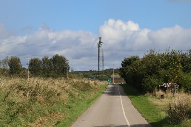
Bagley is a small village located in the Selby district of the county of Yorkshire, in the northern region of England. Situated approximately 8 miles southwest of Selby town, Bagley is a rural settlement surrounded by picturesque countryside.

The village is known for its charming and traditional architecture, featuring a mix of stone cottages and farmhouses. It boasts a close-knit community, with a population of around 300 residents. The local economy primarily revolves around agriculture and farming, with fields of crops and grazing animals being a common sight.

Bagley is a peaceful and idyllic village, offering a tranquil escape from the hustle and bustle of urban life. The area is rich in natural beauty, with nearby woodlands, meadows, and rivers providing ample opportunities for outdoor activities such as hiking, fishing, and wildlife spotting.

Despite its small size, Bagley benefits from a range of amenities and services. These include a village hall, a primary school, a church, and a local pub, which serves as a social hub for the community. The village also has good transport links, with regular bus services connecting it to nearby towns and cities.

Bagley is situated in close proximity to several attractions and landmarks, making it an ideal base for exploring the wider Yorkshire region. Visitors can easily access popular tourist destinations such as the historic city of York, the Yorkshire Dales National Park, and the stunning North York Moors.

If you have any feedback on the listing, please let us know in the comments section below.
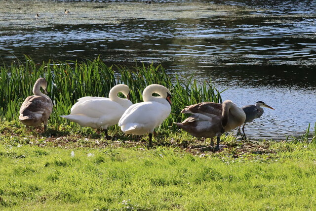
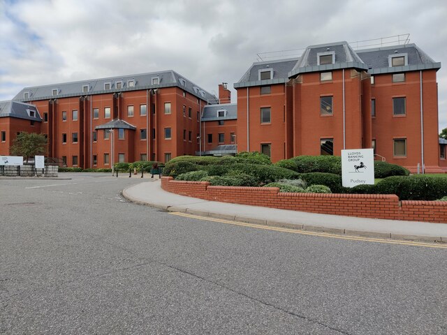
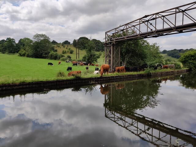
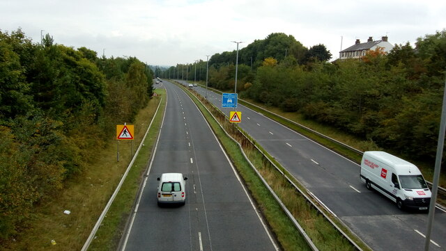
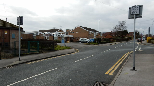
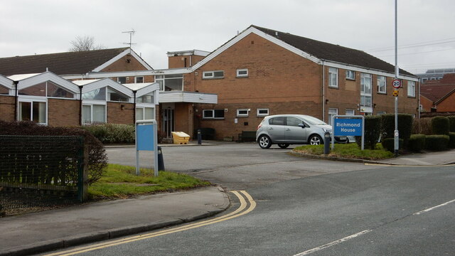
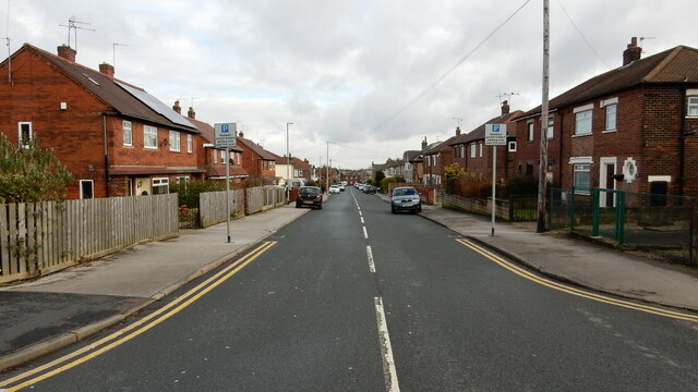
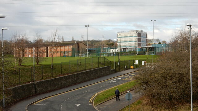
Bagley Images

Images are sourced within 2km of 53.818013/-1.66656 or Grid Reference SE2235. Thanks to Geograph Open Source API. All images are credited.

View across Calverley Victoria Park
Line of trees and path across Calverley Victoria Park
Communications Mast at Rodley Nature Reserve Looking down the entrance road heading in to Rodley Nature Reserve towards the Yorkshire Water Works at the far end. This mast carries the EE and Three mobile networks. Photograph taken on 29/09/2021.
Communications Mast at Rodley Nature Reserve
Looking down the entrance road heading in to Rodley Nature Reserve towards the Yorkshire Water Works at the far end. This mast carries the EE and Three mobile networks. Photograph taken on 29/09/2021.
Little Owl Hiding Amongst the Trees at Rodley Nature Reserve A Little Owl observed hiding amongst the trees near the Manager's Hide at Rodley Nature Reserve. Photograph taken on 29/09/2021.
Little Owl Hiding Amongst the Trees at Rodley Nature Reserve
A Little Owl observed hiding amongst the trees near the Manager's Hide at Rodley Nature Reserve. Photograph taken on 29/09/2021.
Heron and Swan Cygnet at Rodley Nature Reserve A Heron and a Swan Cygnet together at Rodley Nature Reserve. Photograph taken on 29/09/2021.
Heron and Swan Cygnet at Rodley Nature Reserve
A Heron and a Swan Cygnet together at Rodley Nature Reserve. Photograph taken on 29/09/2021.
Heron Looking Over the Water at Rodley Nature Reserve A Heron stands looking out over the lake at Rodley Nature Reserve. Photograph taken on 29/09/2021.
Heron Looking Over the Water at Rodley Nature Reserve
A Heron stands looking out over the lake at Rodley Nature Reserve. Photograph taken on 29/09/2021.
A Heron and Swans at Rodley Nature Reserve A Heron and some Swans at Rodley Nature Reserve. Photograph taken on 29/09/2021.
A Heron and Swans at Rodley Nature Reserve
A Heron and some Swans at Rodley Nature Reserve. Photograph taken on 29/09/2021.
Lloyds Banking Group Pudsey Office near Dawsons Corner, Farsley The outside of the Lloyds Banking Group office near Dawsons Corner, Farsley. Previously the building belonged to the Leeds Permanent Building Society and then the Halifax Building Society. The building is reported to be closing down later in 2021. Photograph taken on 26/09/2021.
Lloyds Banking Group Pudsey Office near Dawsons Corner, Farsley
The outside of the Lloyds Banking Group office near Dawsons Corner, Farsley. Previously the building belonged to the Leeds Permanent Building Society and then the Halifax Building Society. The building is reported to be closing down later in 2021. Photograph taken on 26/09/2021.
Cows Beside the Leeds and Liverpool Canal near Rodley Some Cows grazing in a field beside the Leeds and Liverpool Canal near Rodley, Leeds. Photograph taken on 25/07/2021.
Cows Beside the Leeds and Liverpool Canal near Rodley
Some Cows grazing in a field beside the Leeds and Liverpool Canal near Rodley, Leeds. Photograph taken on 25/07/2021.
The A647 Leeds Ring Road / Stanningley Bypass at Pudsey Viewed from Richardshaw Lane bridge.
The A647 Leeds Ring Road / Stanningley Bypass at Pudsey
Viewed from Richardshaw Lane bridge.
Richmond House Care Home, Farsley A view taken from Richmond Road looking towards Richmond House Care Home in Farsley. Photograph taken on 04/02/2018.
Richmond House Care Home, Farsley
A view taken from Richmond Road looking towards Richmond House Care Home in Farsley. Photograph taken on 04/02/2018.
Richmond Road, Farsley A view taken next to Richmond Road Care Home looking down Richmond Road. Photograph taken on 04/02/2018.
Richmond Road, Farsley
A view taken next to Richmond Road Care Home looking down Richmond Road. Photograph taken on 04/02/2018.
Co-Op Academy Priesthorpe, Farsley A view of Co-Op Academy Priesthorpe (formerly known as Priesthorpe High School) taken from the foot bridge over the A6120 Ring Road. Photograph taken on 04/02/2018.
Co-Op Academy Priesthorpe, Farsley
A view of Co-Op Academy Priesthorpe (formerly known as Priesthorpe High School) taken from the foot bridge over the A6120 Ring Road. Photograph taken on 04/02/2018.
Co-Op Academy Priesthorpe, Farsley The front of the Co-Op Academy Priesthorpe buildings and car park area. Photograph taken on 04/02/2018.
Co-Op Academy Priesthorpe, Farsley
The front of the Co-Op Academy Priesthorpe buildings and car park area. Photograph taken on 04/02/2018.
Pudsey Civic Hall Car Park, Farsley A view looking across Pudsey Civic Hall Car Park. Richmond Road and the Lloyds Banking Group Pudsey office are visible in the distance. Photograph taken on 04/02/2018.
Pudsey Civic Hall Car Park, Farsley
A view looking across Pudsey Civic Hall Car Park. Richmond Road and the Lloyds Banking Group Pudsey office are visible in the distance. Photograph taken on 04/02/2018.
The Old Hall Hotel, Farsley The Old Hall Hotel, Farsley. Photograph taken on 08/04/2018.
The Old Hall Hotel, Farsley
The Old Hall Hotel, Farsley. Photograph taken on 08/04/2018.
The Old Hall Hotel, Farsley The Old Hall Hotel, Farsley. Photograph taken on 08/04/2018.
The Old Hall Hotel, Farsley
The Old Hall Hotel, Farsley. Photograph taken on 08/04/2018.
Show me another place!

Bagley is located at Grid Ref: SE2235 (Lat: 53.818013, Lng: -1.66656)

Division: West Riding

Unitary Authority: Leeds

Police Authority: West Yorkshire

What 3 Words

///wooden.costs.pigs. Near Pudsey, West Yorkshire

Related Wikis

Bagley, West Yorkshire

Bagley is a village in the City of Leeds metropolitan borough, West Yorkshire, England, once in the township of Farsley. The remains of the village (or...

Sunny Bank Mills

Sunny Bank Mills is a former textile mill, which specialised in worsted cloth, set in 10 acres of land located on Town Street, Farsley, Leeds, England...

Rodley, West Yorkshire

Rodley is a suburb in the City of Leeds metropolitan borough, West Yorkshire, England. The village is situated within the Calverley and Farsley ward of...

Farsley

Farsley is a town in the City of Leeds metropolitan borough, West Yorkshire, England, 6 miles (9.7 km) to the west of Leeds city centre, 4 miles (6.4 km...

The Citadel (Farsley)

The Citadel, previously known as Throstle Nest, is a football ground situated in Farsley, in the Metropolitan District of the City of Leeds in England...

Leeds West Academy

Leeds West Academy is a secondary school with academy status in Rodley, Leeds, West Yorkshire, England. It is well known for specialising its area of education...

Stanningley

Stanningley is a district of Pudsey, West Yorkshire, England. It is situated approximately 5 miles (8 km) west of Leeds city centre on the A647 road, the...

AW Hainsworth

AW Hainsworth & Sons, Ltd., formerly known as Abimelech Hainsworth are an English textile manufacturing company based in Pudsey, West Yorkshire. They are...

Nearby Amenities

Located within 500m of 53.818013,-1.66656
Farsley
Is In: Leeds, West Yorkshire, United Kingdom
Place: town
Wikidata: Q5436438
Wikipedia: en:Farsley
Lat/Long: 53.8143915/-1.6697743
Power: tower
Lat/Long: 53.8187834/-1.6592624
Post Box
Operator: Royal Mail
Ref: LS28 587
Lat/Long: 53.815206/-1.6703568
Historic: memorial
Lat/Long: 53.8154528/-1.6702622
Dentist
Farsley Dental Practice
Lat/Long: 53.8158468/-1.6700692
Traffic Calming: table
Lat/Long: 53.8145132/-1.6645435
Bus Stop
Bagley Lane Springbank Road
Bench: yes
Local Ref: 45012337
Naptan AtcoCode: 450012337
Naptan Bearing: W
Naptan CommonName: Bagley Lane Springbank Road
Naptan Crossing: Springbank Road
Naptan Indicator: Stop 45012337
Naptan PlusbusZoneRef: LEEDS
Naptan ShortCommonName: Springbank Road
Naptan Street: Bagley Lane
Naptan Verified: no
Shelter: yes
Source: naptan_import
Tactile Paving: no
Lat/Long: 53.8163797/-1.6654649
Bus Stop
Bagley Lane Town Street
Bench: no
Bin: no
Local Ref: 45012338
Naptan AtcoCode: 450012338
Naptan Bearing: NE
Naptan CommonName: Bagley Lane Town Street
Naptan Crossing: The Green
Naptan Indicator: Stop 45012338
Naptan Landmark: Old Council Offices
Naptan PlusbusZoneRef: LEEDS
Naptan ShortCommonName: The Green
Naptan Street: Bagley Lane
Naptan Verified: no
Shelter: yes
Source: naptan_import
Tactile Paving: no
Lat/Long: 53.8153855/-1.6699838
Bus Stop
Farsley Cenotaph
Local Ref: 45012387
Naptan AtcoCode: 450012387
Naptan Bearing: S
Naptan CommonName: Farsley Cenotaph
Naptan Crossing: High Street
Naptan Indicator: Stop 45012387
Naptan Landmark: Unknown
Naptan PlusbusZoneRef: LEEDS
Naptan ShortCommonName: Farsley Cenotaph
Naptan Street: Town Street
Naptan Verified: no
Source: naptan_import
Lat/Long: 53.8147397/-1.6704446
Bus Stop
Coal Hill Lane Bagley Lane
Bench: no
Local Ref: 45012391
Naptan AtcoCode: 450012391
Naptan Bearing: SE
Naptan CommonName: Coal Hill Lane Bagley Lane
Naptan Crossing: Bagley Lane
Naptan Indicator: Stop 45012391
Naptan PlusbusZoneRef: LEEDS
Naptan ShortCommonName: Bagley Lane
Naptan Street: Coal Hill Lane
Naptan Verified: no
Shelter: yes
Source: naptan_import
Tactile Paving: no
Lat/Long: 53.8154514/-1.6613562
Bus Stop
Coal Hill Lane Farsley
Local Ref: 45012392
Naptan AtcoCode: 450012392
Naptan Bearing: NW
Naptan CommonName: Coal Hill Lane Farsley
Naptan Crossing: Nr-At Bagley Lane
Naptan Indicator: Stop 45012392
Naptan PlusbusZoneRef: LEEDS
Naptan ShortCommonName: Broom Mills
Naptan Street: Coal Hill Lane
Naptan Verified: no
Source: naptan_import
Lat/Long: 53.8153438/-1.6614634
Bus Stop
Bagley Lane Springbank Road
Local Ref: 45012393
Naptan AtcoCode: 450012393
Naptan Bearing: E
Naptan CommonName: Bagley Lane Springbank Road
Naptan Crossing: Springbank Grove
Naptan Indicator: Stop 45012393
Naptan PlusbusZoneRef: LEEDS
Naptan ShortCommonName: Springbank Road
Naptan Street: Bagley Lane
Naptan Verified: no
Source: naptan_import
Lat/Long: 53.8164962/-1.6653273
Bus Stop
Bagley Lane
Local Ref: 45024097
Naptan AtcoCode: 450024097
Naptan Bearing: S
Naptan CommonName: Bagley Lane
Naptan Crossing: Nr-At Oaklands Road
Naptan Indicator: Stop 45024097
Naptan Landmark: Factory
Naptan PlusbusZoneRef: LEEDS
Naptan ShortCommonName: Oaklands Road
Naptan Street: Bagley Lane
Naptan Verified: no
Source: naptan_import
Lat/Long: 53.8204189/-1.6634884
Bus Stop
Bagley Lane
Local Ref: 45024098
Naptan AtcoCode: 450024098
Naptan Bearing: N
Naptan CommonName: Bagley Lane
Naptan Crossing: Nr-At Oaklands Road
Naptan Indicator: Stop 45024098
Naptan Landmark: Factory
Naptan PlusbusZoneRef: LEEDS
Naptan ShortCommonName: Oaklands Road
Naptan Street: Bagley Lane
Naptan Verified: no
Source: naptan_import
Lat/Long: 53.8200065/-1.6638714
Bus Stop
Bagley Lane
Bench: no
Bin: no
Local Ref: 45024099
Naptan AtcoCode: 450024099
Naptan Bearing: S
Naptan CommonName: Bagley Lane
Naptan Crossing: Mary Street
Naptan Indicator: Stop 45024099
Naptan PlusbusZoneRef: LEEDS
Naptan ShortCommonName: Mary Street
Naptan Street: Bagley Lane
Naptan Verified: no
Shelter: no
Source: naptan_import
Tactile Paving: no
Lat/Long: 53.8175075/-1.6637851
Power: substation
Lat/Long: 53.8151418/-1.6621586
Barrier: block
Bicycle: yes
Foot: yes
Lat/Long: 53.820844/-1.6649246
Noexit: yes
Lat/Long: 53.8215059/-1.6653278
Post Box
Collection Times: Mo-Fr 09:00, Sa 07:00
Operator: Royal Mail
Post Box Type: wall
Ref: LS28 721
Royal Cypher: EIIR
Royal Cypher Wikidata: Q33102113
Lat/Long: 53.8167576/-1.663815
Noexit: yes
Lat/Long: 53.8224608/-1.6659706
Turning Circle
Lat/Long: 53.8172659/-1.6706511
Turning Circle
Lat/Long: 53.8163874/-1.6688199
Turning Circle
Lat/Long: 53.8170453/-1.6684895
Turning Circle
Lat/Long: 53.8173717/-1.6667471
Traffic Calming: table
Lat/Long: 53.814559/-1.6644696
Noexit: yes
Lat/Long: 53.8213492/-1.6627654
Turning Circle
Lat/Long: 53.8157964/-1.6710805
Access: no
Barrier: bollard
Bicycle: yes
Bollard: fixed
Foot: yes
Lat/Long: 53.8191186/-1.6643876
Noexit: yes
Lat/Long: 53.8221888/-1.6648651
Noexit: yes
Lat/Long: 53.8222341/-1.6644429
Power: tower
Lat/Long: 53.8214609/-1.6642565
Barrier: bollard
Bicycle: yes
Bollard: fixed
Foot: yes
Motor Vehicle: no
Lat/Long: 53.8210031/-1.6663013
Barrier: bollard
Bicycle: yes
Bollard: fixed
Foot: yes
Lat/Long: 53.8219806/-1.6653873
Noexit: yes
Lat/Long: 53.8222364/-1.665885
Noexit: yes
Lat/Long: 53.8223363/-1.6659043
Traffic Calming: cushion
Lat/Long: 53.8136051/-1.6653077
Traffic Calming: cushion
Lat/Long: 53.8144394/-1.666504
Traffic Calming: cushion
Lat/Long: 53.8151097/-1.6665784
Traffic Calming: cushion
Lat/Long: 53.8154394/-1.6638438
Traffic Calming: cushion
Lat/Long: 53.8157007/-1.6665912
Traffic Calming: cushion
Lat/Long: 53.8160161/-1.6641856
Traffic Calming: cushion
Lat/Long: 53.8160315/-1.6652123
Arts Centre
The Rainbow Factory
Addr City: Pudsey
Addr Housename: Springfield Commercial Centre
Addr Postcode: LS28 5LY
Addr Street: Bagley Lane
Addr Suburb: Farsley
Addr Unit: 13c
Fhrs Id: 785915
Lat/Long: 53.8173697/-1.6660696
Cafe
The Loft Coffee Shop
Addr City: Pudsey
Addr Housename: Springfield Commercial Centre
Addr Postcode: LS28 5LY
Addr Street: Bagley Lane
Addr Suburb: Farsley
Addr Unit: 13A
Fhrs Id: 1034335
Website: https://theloftcoffeeshop.co.uk/
Lat/Long: 53.8174013/-1.6656619
Cafe
Coopers
Addr City: Pudsey
Addr Housenumber: 112
Addr Postcode: LS28 5LF
Addr Street: Town Street
Addr Suburb: Farsley
Fhrs Id: 322990
Opening Hours: Tu-Sa 09:00-14:00
Takeaway: yes
Lat/Long: 53.8147929/-1.6703671
Sutcliffes
Addr City: Pudsey
Addr Housenumber: 109
Addr Postcode: LS28 5HX
Addr Street: Town Street
Addr Suburb: Farsley
Fhrs Id: 467189
Shop: greengrocer
Lat/Long: 53.8151445/-1.6706461
Cafe
Whiteheads
Addr City: Pudsey
Addr Housenumber: 101
Addr Postcode: LS28 5HX
Addr Street: Town Street
Addr Suburb: Farsley
Fhrs Id: 321389
Takeaway: yes
Lat/Long: 53.8149053/-1.6706756
Defibrillator
Defibrillator Location: External wall to left of The Fleece main entrance
Emergency: defibrillator
Lat/Long: 53.8150304/-1.6702484
Get Cooking CIC
Addr City: Pudsey
Addr Housename: Springfield Commercial Centre
Addr Postcode: LS28 5LY
Addr Street: Bagley Lane
Addr Suburb: Farsley
Addr Unit: 43a
Fhrs Id: 1073702
Lat/Long: 53.8171919/-1.6660112
Tarte And Berry
Addr City: Pudsey
Addr Housename: Springfield Commercial Centre
Addr Postcode: LS28 5LY
Addr Street: Bagley Lane
Addr Suburb: Farsley
Addr Unit: 23
Shop: pastry
Lat/Long: 53.8172173/-1.6656572
Waste Basket
Collection Times: Su
Ref UK Leedscc Bin: 154
Lat/Long: 53.816591/-1.664931
Waste Basket
Collection Times: Su
Ref UK Leedscc Bin: 155
Lat/Long: 53.816382/-1.665268
Waste Basket
Collection Times: Su
Ref UK Leedscc Bin: 156
Lat/Long: 53.81554/-1.669785
Waste Basket
Collection Times: Su
Ref UK Leedscc Bin: 3355
Lat/Long: 53.81493/-1.670626
Waste Basket
Collection Times: Su
Ref UK Leedscc Bin: 3304
Lat/Long: 53.814638/-1.670653
Noexit: yes
Lat/Long: 53.8210375/-1.6651319
Noexit: yes
Lat/Long: 53.8218333/-1.6666865
Noexit: yes
Lat/Long: 53.821101/-1.6655235
Direction: 135
Man Made: surveillance
Surveillance: public
Surveillance Type: ALPR
Surveillance Zone: traffic
Lat/Long: 53.8191887/-1.6734669
Generator Method: photovoltaic
Generator Output Electricity: small_installation
Generator Source: solar
Generator Type: solar_photovoltaic_panel
Location: roof
Power: generator
Lat/Long: 53.8148174/-1.6715392
The data included in this document is from www.openstreetmap.org. The data is made available under ODbL.

Have you been to Bagley?

Leave your review of Bagley below (or comments, questions and feedback).