Gateside
Settlement in Renfrewshire
Scotland
Gateside
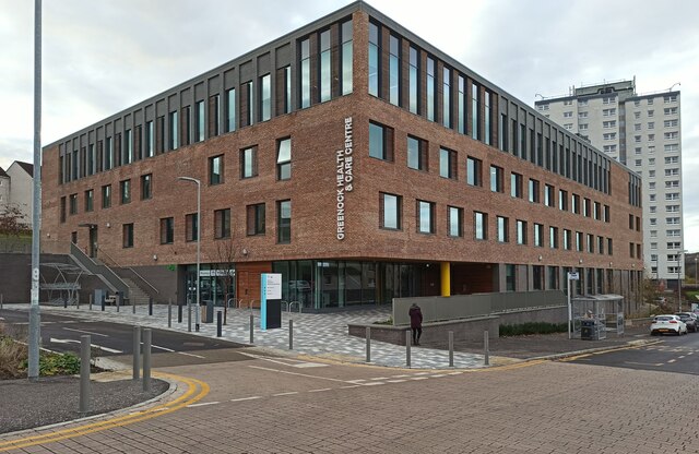
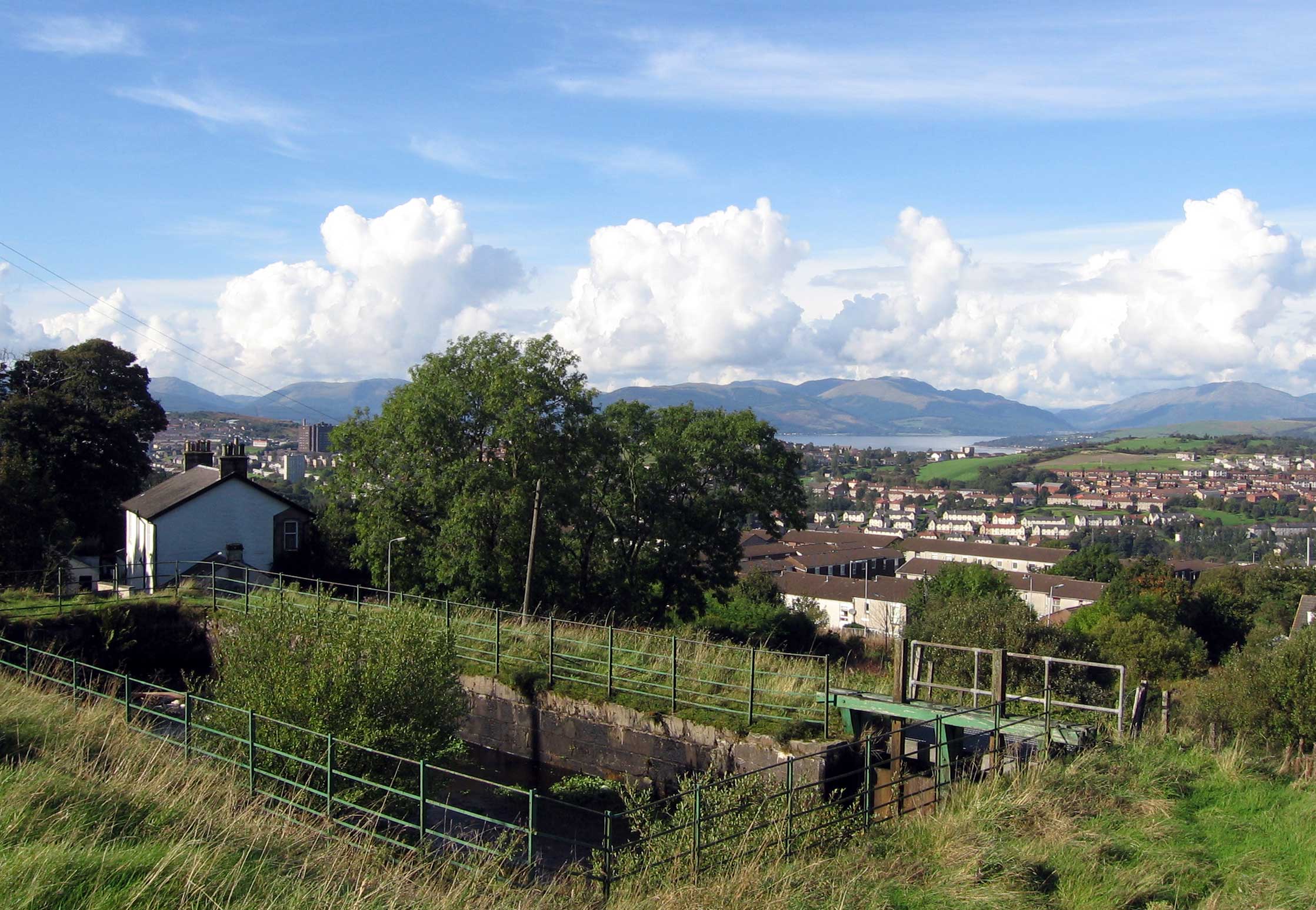
Gateside is a small village located in the council area of Renfrewshire, Scotland. Situated about 15 miles southwest of Glasgow, Gateside has a population of around 1,000 residents. The village is nestled in a picturesque rural setting, surrounded by lush green fields and rolling hills.
Gateside has a rich history dating back several centuries. It was originally a farming community, known for its fertile soil and agricultural activities. Over the years, the village has seen some growth and development, but it has managed to retain its small-town charm and close-knit community feel.
Although Gateside is primarily a residential area, it offers a range of amenities to its residents. There is a local primary school, providing education to the village's younger population. The village also boasts a community center, where various activities and events take place throughout the year, fostering a sense of community spirit.
For those looking to explore the natural beauty of the area, Gateside is an ideal base. The village is surrounded by stunning countryside, offering ample opportunities for walking, hiking, and outdoor activities. Additionally, Gateside is well-connected to the nearby towns and cities, making it convenient for residents to access a wider range of amenities and services.
In conclusion, Gateside is a peaceful and idyllic village in Renfrewshire, Scotland. With its charming rural setting, strong sense of community, and easy access to nearby towns and cities, it is an attractive place to live for those seeking a quieter, more relaxed lifestyle.
If you have any feedback on the listing, please let us know in the comments section below.
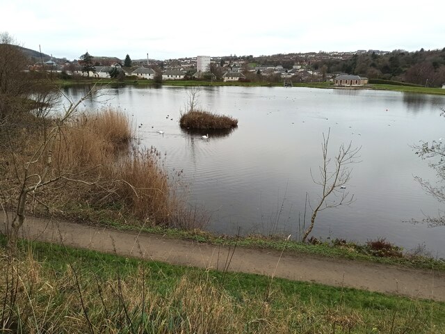
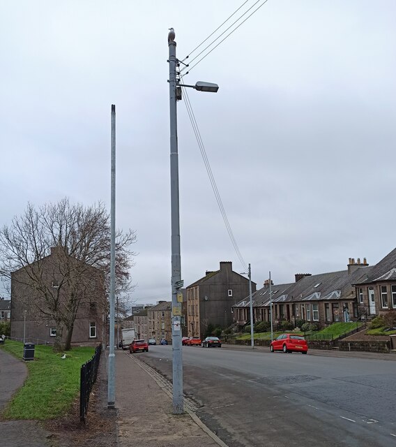
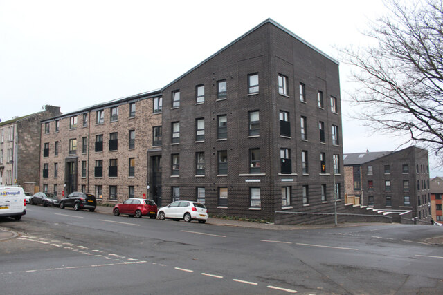
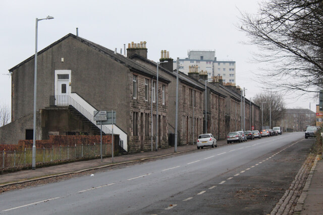
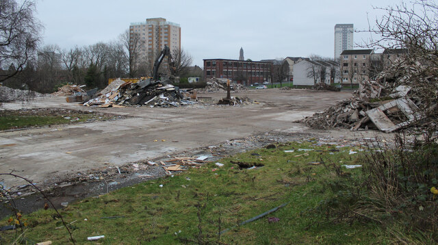
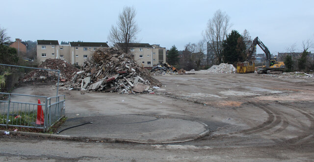
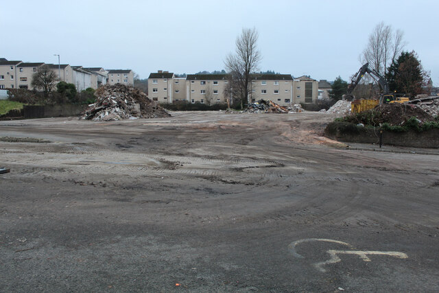
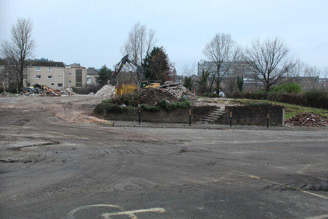
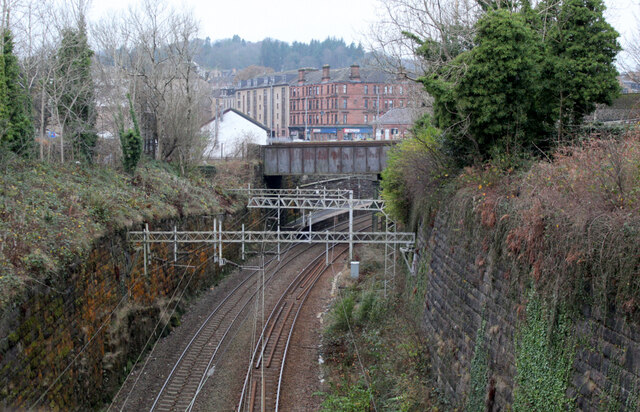
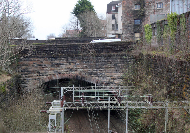
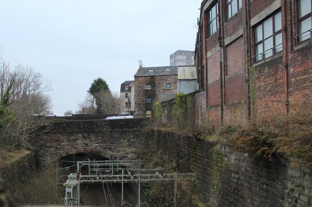
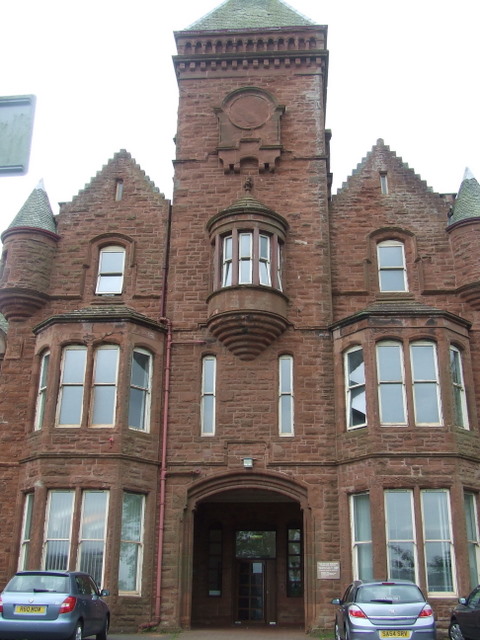
Gateside Images
Images are sourced within 2km of 55.942701/-4.7903582 or Grid Reference NS2575. Thanks to Geograph Open Source API. All images are credited.


Gateside is located at Grid Ref: NS2575 (Lat: 55.942701, Lng: -4.7903582)
Unitary Authority: Inverclyde
Police Authority: Renfrewshire and Inverclyde
What 3 Words
///burns.reward.broom. Near Greenock, Inverclyde
Nearby Locations
Related Wikis

HM Prison Greenock
HMP Greenock is a prison located in Greenock, Scotland, serving designated courts in western Scotland by holding male prisoners on remand, and short-term...
Ravenscraig Hospital
Ravenscraig Hospital was a mental health facility in Inverkip Road, Greenock, Scotland. It was managed by NHS Greater Glasgow and Clyde. == History... ==

Finnart
The lands of Finnart to the west of Greenock belonged to the Earl of Douglas in medieval times. Around 1455 they were forfeited to the crown. Finnart was...

Branchton railway station
Branchton railway station is a railway station in Scotland opened in 1967 under British Rail located in the south-west of the town of Greenock, beside...
Overton, Greenock
Overton is an area in the suburbs of Greenock, Inverclyde. Overton offers excellent views across the River Clyde and suburban Greenock. The area is the...
Greenock rail crash
On 25 June 1994, the 22:45 from Wemyss Bay to Glasgow, in Scotland, derailed and smashed into a bridge after hitting concrete blocks placed deliberately...
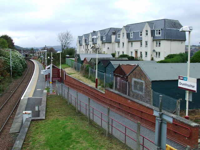
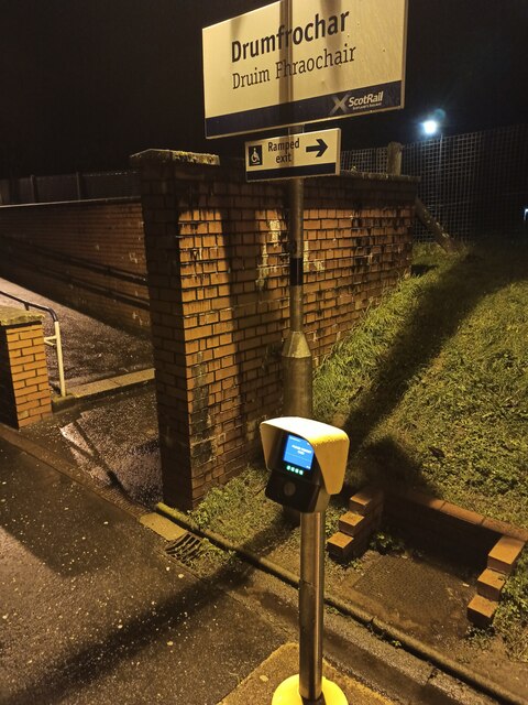
Drumfrochar railway station
Drumfrochar railway station is a railway station located in a residential district in the south-western part of Greenock, Scotland. The station is managed...

St Columba's High School, Gourock
St Columba's High School is a co-educational six-year Roman Catholic, comprehensive secondary school, located next to Tower Hill Gourock, Inverclyde, Scotland...
Nearby Amenities
Located within 500m of 55.942701,-4.7903582Have you been to Gateside?
Leave your review of Gateside below (or comments, questions and feedback).