Gateside

Settlement in Kirkcudbrightshire

Scotland

Gateside

Barn by Drumjohn. Tin byre outside Kirkgunzeon. View west.
Barn by Drumjohn. Credit: Richard Webb

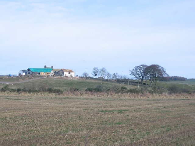
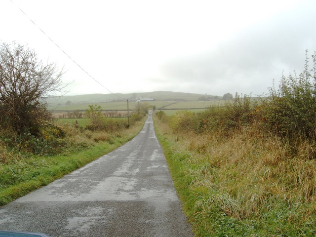
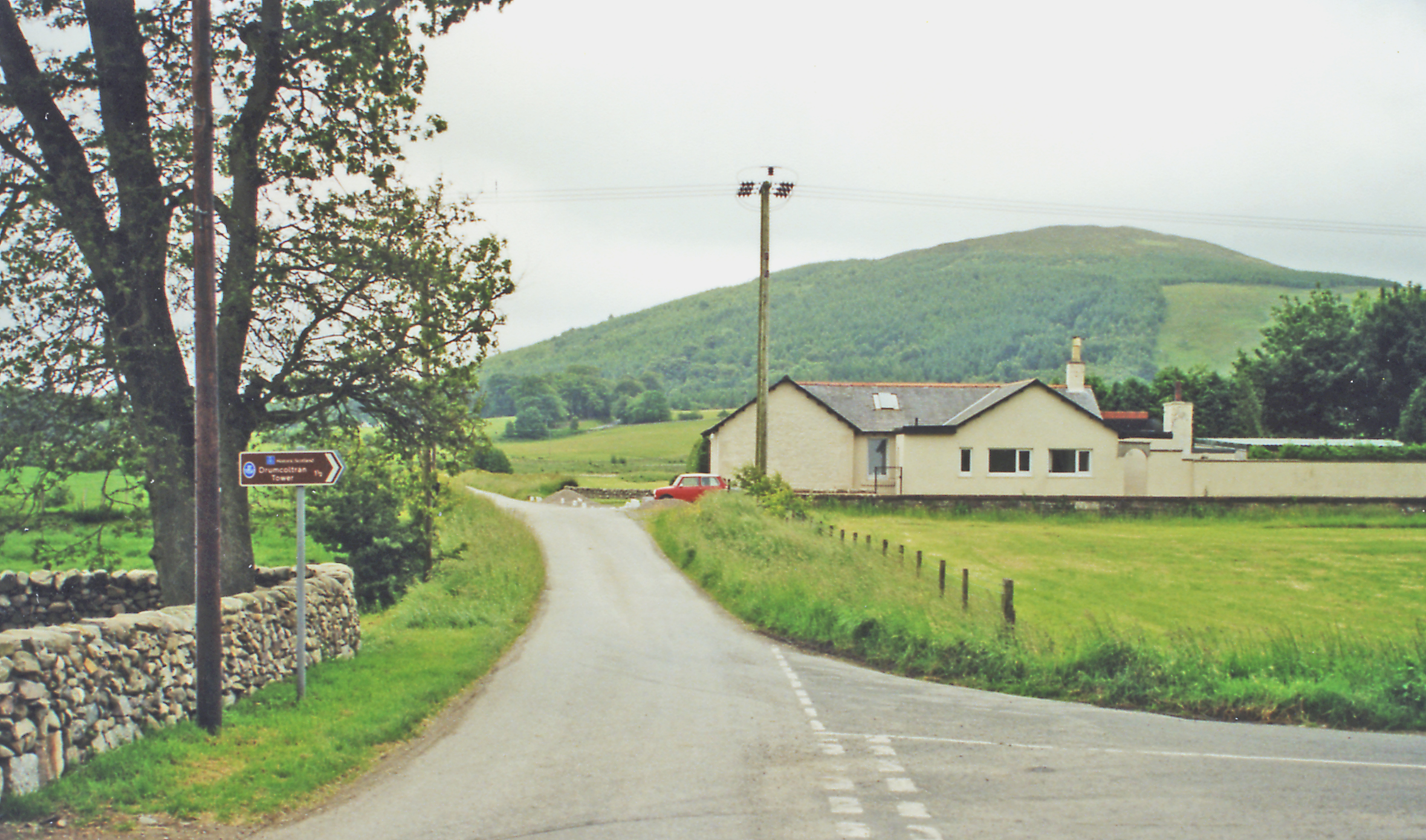
Gateside is a small village located in Kirkcudbrightshire, a historic county in the southwest of Scotland. Situated just a few miles northeast of Kirkcudbright town, Gateside is nestled in a picturesque rural setting. The village is surrounded by rolling hills, lush green fields, and offers stunning views of the nearby Galloway Forest Park.

With a population of around 200 residents, Gateside is known for its tight-knit community and friendly atmosphere. The village features a range of traditional stone houses and cottages, giving it a charming and rustic feel. The local economy primarily relies on agriculture and farming, with many residents involved in these industries.

Although Gateside is a small village, it offers a few amenities to its residents and visitors. A local pub provides a gathering place for locals and tourists alike, serving up traditional Scottish fare and beverages. Additionally, there is a post office and a small convenience store that caters to the daily needs of the community.

The surrounding area offers a wealth of outdoor activities for those who enjoy nature. Galloway Forest Park, located just a short drive away, is a popular destination for hiking, cycling, and wildlife spotting. The area is also renowned for its dark skies, making it an ideal location for stargazing enthusiasts.

Overall, Gateside is a peaceful and scenic village that offers a tranquil escape from the hustle and bustle of city life. Its beautiful surroundings, sense of community, and proximity to natural attractions make it an appealing place to visit or live for those seeking a rural retreat in Kirkcudbrightshire.

If you have any feedback on the listing, please let us know in the comments section below.

Gateside Images

Images are sourced within 2km of 54.976454/-3.7644878 or Grid Reference NX8766. Thanks to Geograph Open Source API. All images are credited.

Barn by Drumjohn. Tin byre outside Kirkgunzeon. View west.
Barn by Drumjohn.
Tin byre outside Kirkgunzeon. View west.
Corra Castle Tower now incorporated into a farm.
17thC Towerhouse, built on the site of the Maxwell's Castle of Kirkgunzeon.
Corra Castle
Tower now incorporated into a farm. 17thC Towerhouse, built on the site of the Maxwell's Castle of Kirkgunzeon.
Drumjohn. Building work at the farm, possibly steading conversion
Drumjohn.
Building work at the farm, possibly steading conversion
Dyke, Corgeith Looking NE over a drystane dyke towards Corgeith Farm.
Dyke, Corgeith
Looking NE over a drystane dyke towards Corgeith Farm.
Porterbelly Hill On the lower slopes of Porterbelly Hill large granite boulders have been incorporated in a drystane dyke.
Porterbelly Hill
On the lower slopes of Porterbelly Hill large granite boulders have been incorporated in a drystane dyke.
Below  Porterbelly Hill. Trees along the line of a small burn View northward.
Below Porterbelly Hill.
Trees along the line of a small burn View northward.
Torkirra. View SE up the farm drive.
Torkirra.
View SE up the farm drive.
Boulders, Bentfoot Granite boulders piled up after being cleared from the fields.
Boulders, Bentfoot
Granite boulders piled up after being cleared from the fields.
Road past Plascow Cottage
View of Glaisters
View of Glaisters
Glaisters Cottage
Glaisters Cottage
Maxwell Memorial Hall, Kirkgunzeon Wilfrid Fitzalan Crombie was the architect of this building in the very early 1900's.
Maxwell Memorial Hall, Kirkgunzeon
Wilfrid Fitzalan Crombie was the architect of this building in the very early 1900's.
Bridge in Kirkgunzeon
Kirk in Kirkgunzeon
Kirk in Kirkgunzeon
Road, looking toward Killymingan
Road to Conniven Conniven farm can be seen at the end off the road.
Road to Conniven
Conniven farm can be seen at the end off the road.
Breconside farm Looking south, into the farm steading.
Breconside farm
Looking south, into the farm steading.
Kirkgunzeon Looking across open farmland to Kirkgunzeon.
Kirkgunzeon
Looking across open farmland to Kirkgunzeon.
Show me another place!

Gateside is located at Grid Ref: NX8766 (Lat: 54.976454, Lng: -3.7644878)

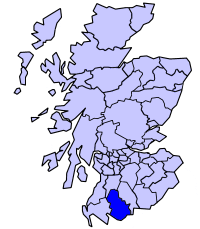
Unitary Authority: Dumfries and Galloway

Police Authority: Dumfries and Galloway

What 3 Words

///playoffs.depths.majoring. Near Dalbeattie, Dumfries & Galloway

Nearby Locations

Gateside

Related Wikis

Kirkgunzeon railway station

Kirkgunzeon railway station served the village of Kirkgunzeon, Dumfries and Galloway, Scotland from 1859 to 1950 on the Castle Douglas and Dumfries Railway...

Kirkgunzeon

Kirkgunȝeon (Scottish Gaelic: Cill Fhionnain) is a village and civil parish in Dumfries and Galloway, south west Scotland. The village is 10.4 miles (16...

Stewartry

Stewartry was a local government district from 1975 until 1996 within the Dumfries and Galloway region in south-west Scotland. Under the name Stewartry...

Southwick railway station (Scotland)

Southwick (Dumfries & Galloway) railway station served the civil parish of Colvend and Southwick, Dumfries and Galloway, Scotland from 1859 to 1965 on...

Killywhan railway station

Killywhan railway station served the hamlet of Killywhan, Dumfries and Galloway, Scotland from 1859 to 1959 on the Castle Douglas and Dumfries Railway...

Beeswing, Dumfries and Galloway

Beeswing is a small village in the historical county of Kirkcudbrightshire in Scotland. == Etymology == Before Beeswing became known as Beeswing, it was...

Loch Arthur

Loch Arthur (also known as Loch Lotus) is a lake in the council area of Dumfries and Galloway in Scotland near the village of Beeswing.Loch Arthur lies...

Loch Arthur logboat

The Loch Arthur logboat or dugout canoe (also called Loch Arthur 1, Loch Lotus or Lotus Loch) was found in 1874 when the water level was low on the south...

Related Videos

Tina Duncan is fundraising to deliver aid and volunteer at a dog shelter near the Ukrainian border

Local dog walker Tina Duncan has been busy preparing to volunteer at a dog shelter in Romania near the Ukrainian border.

Nearby Amenities

Located within 500m of 54.976454,-3.7644878
Kirkgunzeon
Abandoned Railway: station
Railway: site
Source: Popular Edition (Scotland)
Lat/Long: 54.9794974/-3.7644005
Power: pole
Lat/Long: 54.9808076/-3.7640271
Power: pole
Lat/Long: 54.9800811/-3.7645716
Power: pole
Lat/Long: 54.9793192/-3.7651214
Power: pole
Lat/Long: 54.9787543/-3.7655962
Power: pole
Lat/Long: 54.9783572/-3.7663633
Power: pole
Lat/Long: 54.9779138/-3.7672162
Power: pole
Lat/Long: 54.9775829/-3.767876
Power: pole
Lat/Long: 54.9764961/-3.7700084
Power: pole
Lat/Long: 54.9757926/-3.7703115
Power: pole
Lat/Long: 54.9751122/-3.7705556
Power: pole
Lat/Long: 54.9743841/-3.770864
Power: pole
Lat/Long: 54.9801998/-3.7623456
Power: pole
Lat/Long: 54.9795144/-3.7625387
Power: pole
Lat/Long: 54.9788862/-3.7627211
Power: pole
Lat/Long: 54.9781667/-3.7629375
Power: pole
Lat/Long: 54.9776274/-3.7630733
Power: pole
Lat/Long: 54.9769797/-3.7632727
Power: pole
Lat/Long: 54.9763429/-3.7634297
Power: pole
Lat/Long: 54.9761444/-3.7640703
Power: pole
Lat/Long: 54.9759435/-3.7647386
Power: pole
Lat/Long: 54.980643/-3.7630563
Power: pole
Lat/Long: 54.9804531/-3.7638518
Power: pole
Lat/Long: 54.9802631/-3.7646474
Power: pole
Lat/Long: 54.9799722/-3.765863
Power: pole
Lat/Long: 54.9797518/-3.7667922
Power: pole
Lat/Long: 54.9795242/-3.7677595
Power: pole
Lat/Long: 54.9793002/-3.7687142
Power: pole
Lat/Long: 54.9789982/-3.7699955
Power: pole
Lat/Long: 54.9802838/-3.7659372
Power: pole
Lat/Long: 54.9807976/-3.7660772
Power: pole
Lat/Long: 54.9759819/-3.7625514
Power: pole
Lat/Long: 54.9756142/-3.7616434
Power: pole
Lat/Long: 54.9752477/-3.7607566
Power: pole
Lat/Long: 54.9748502/-3.7597988
Power: pole
Lat/Long: 54.9744569/-3.7588293
The data included in this document is from www.openstreetmap.org. The data is made available under ODbL.

Have you been to Gateside?

Leave your review of Gateside below (or comments, questions and feedback).