Penny Fern
Settlement in Renfrewshire
Scotland
Penny Fern
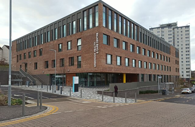
Penny Fern is a small village located in the Renfrewshire region of Scotland. Situated just west of Paisley, Penny Fern is known for its picturesque setting and tranquil atmosphere. The village is surrounded by rolling green hills and beautiful countryside, providing residents and visitors with a peaceful and idyllic environment.
Despite its small size, Penny Fern boasts a close-knit and friendly community. The village is home to a number of charming cottages and houses, many of which date back several centuries, adding to the area's historical charm. The local residents take great pride in their community and work together to maintain its beauty and character.
Penny Fern is also blessed with an abundance of natural beauty. The village is surrounded by lush forests and woodland, making it a popular destination for nature lovers and outdoor enthusiasts. There are several walking and hiking trails in the area, allowing visitors to explore the stunning scenery and enjoy the fresh air.
In terms of amenities, Penny Fern offers a few small shops and local businesses, providing residents with the essentials. For more extensive shopping and entertainment options, the nearby town of Paisley is easily accessible.
Overall, Penny Fern is a quaint and picturesque village in Renfrewshire, offering a peaceful retreat from the hustle and bustle of city life. With its natural beauty and friendly community, it is a charming place to visit or call home.
If you have any feedback on the listing, please let us know in the comments section below.
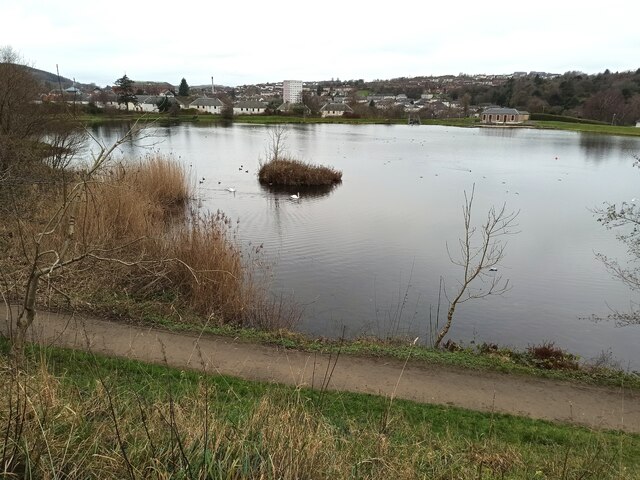
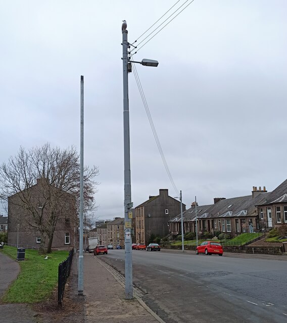
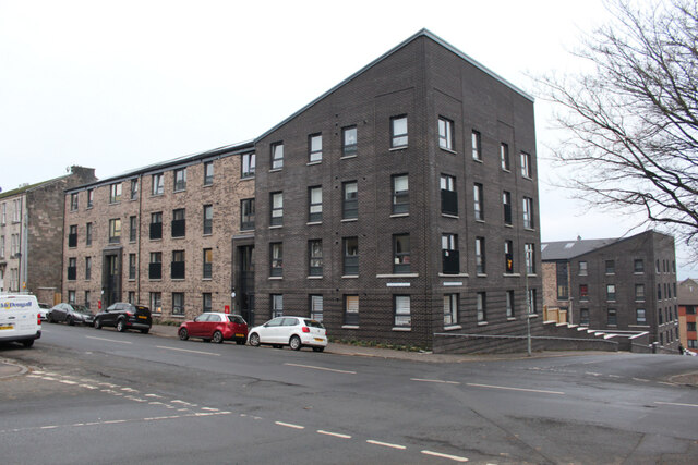
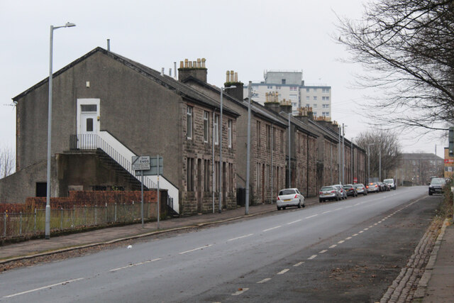
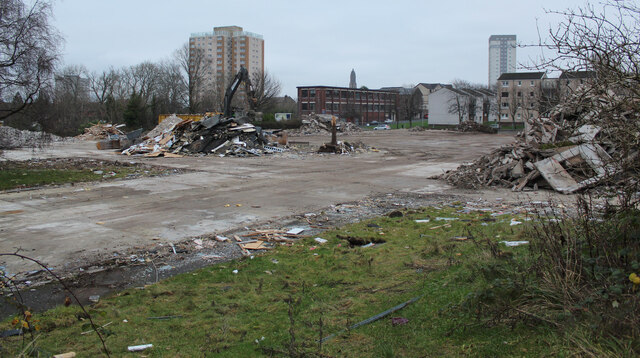
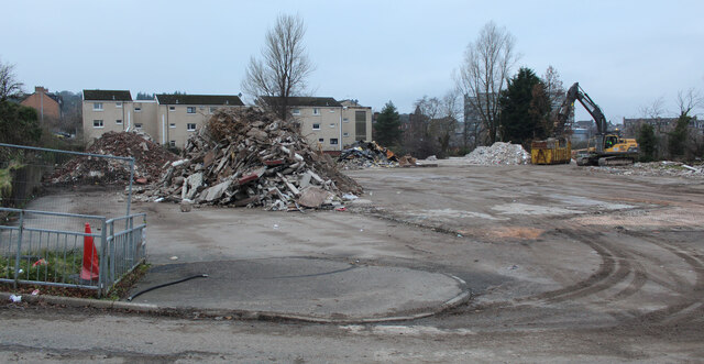
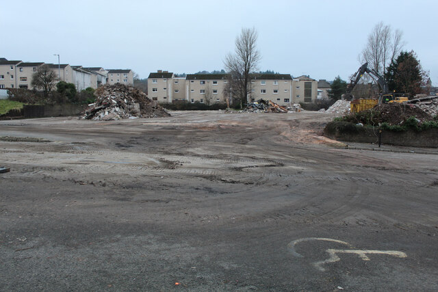
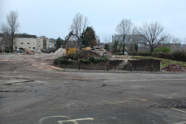
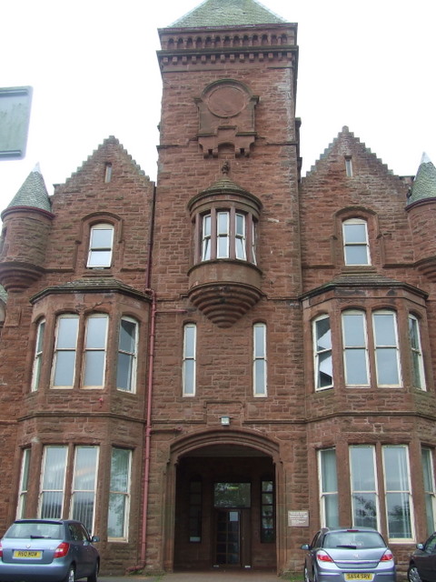
Penny Fern Images
Images are sourced within 2km of 55.938628/-4.7876149 or Grid Reference NS2575. Thanks to Geograph Open Source API. All images are credited.


Penny Fern is located at Grid Ref: NS2575 (Lat: 55.938628, Lng: -4.7876149)
Unitary Authority: Inverclyde
Police Authority: Renfrewshire and Inverclyde
What 3 Words
///finger.pillow.along. Near Greenock, Inverclyde
Nearby Locations
Related Wikis

HM Prison Greenock
HMP Greenock is a prison located in Greenock, Scotland, serving designated courts in western Scotland by holding male prisoners on remand, and short-term...
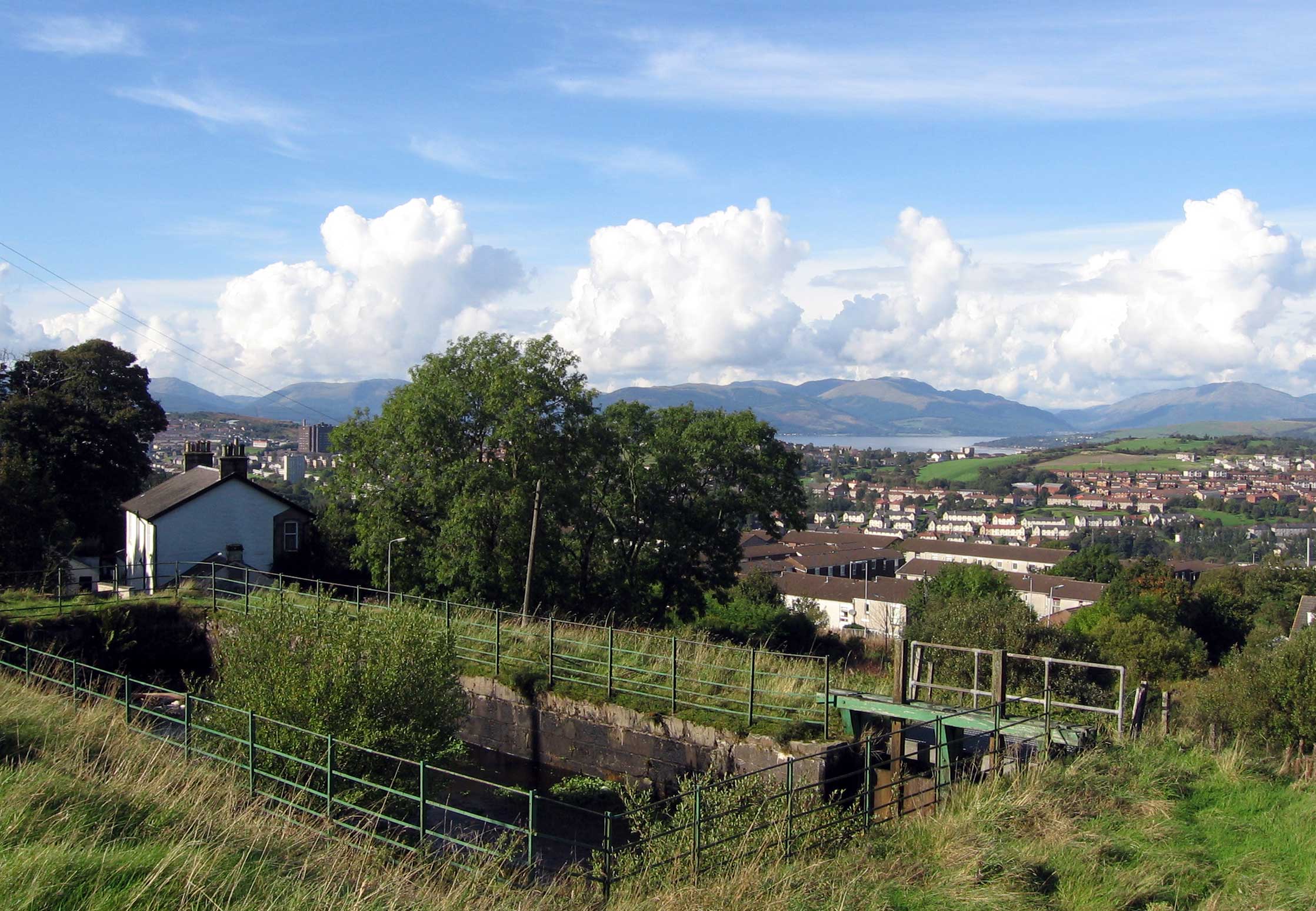
Overton, Greenock
Overton is an area in the suburbs of Greenock, Inverclyde. Overton offers excellent views across the River Clyde and suburban Greenock. The area is the...
Ravenscraig Hospital
Ravenscraig Hospital was a mental health facility in Inverkip Road, Greenock, Scotland. It was managed by NHS Greater Glasgow and Clyde. == History... ==

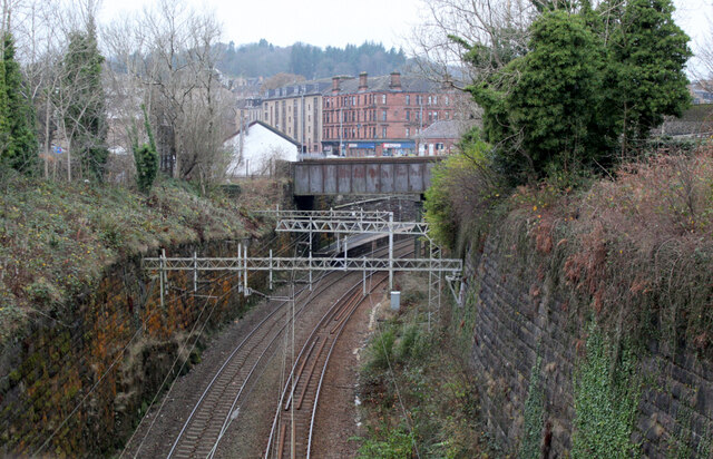
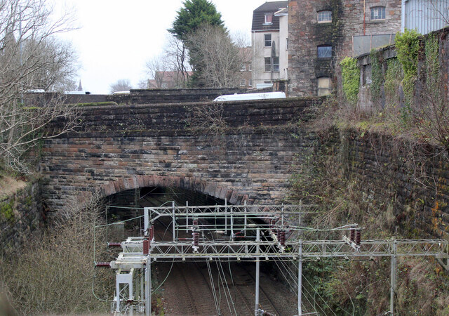
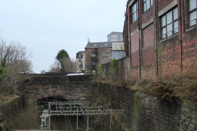
Greenock rail crash
On 25 June 1994, the 22:45 from Wemyss Bay to Glasgow, in Scotland, derailed and smashed into a bridge after hitting concrete blocks placed deliberately...
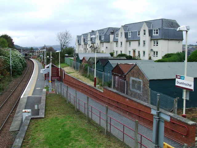
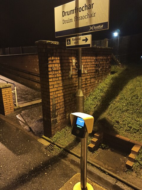
Drumfrochar railway station
Drumfrochar railway station is a railway station located in a residential district in the south-western part of Greenock, Scotland. The station is managed...

Branchton railway station
Branchton railway station is a railway station in Scotland opened in 1967 under British Rail located in the south-west of the town of Greenock, beside...
Branchton
Branchton (Scots: Branchtoun, Scottish Gaelic: Brainsdean) is an area within the Scottish town of Greenock, in Inverclyde. Tenements used to dominate the...
Finnart
The lands of Finnart to the west of Greenock belonged to the Earl of Douglas in medieval times. Around 1455 they were forfeited to the crown. Finnart was...
Nearby Amenities
Located within 500m of 55.938628,-4.7876149Have you been to Penny Fern?
Leave your review of Penny Fern below (or comments, questions and feedback).