Bunston Knowe
Hill, Mountain in Renfrewshire
Scotland
Bunston Knowe

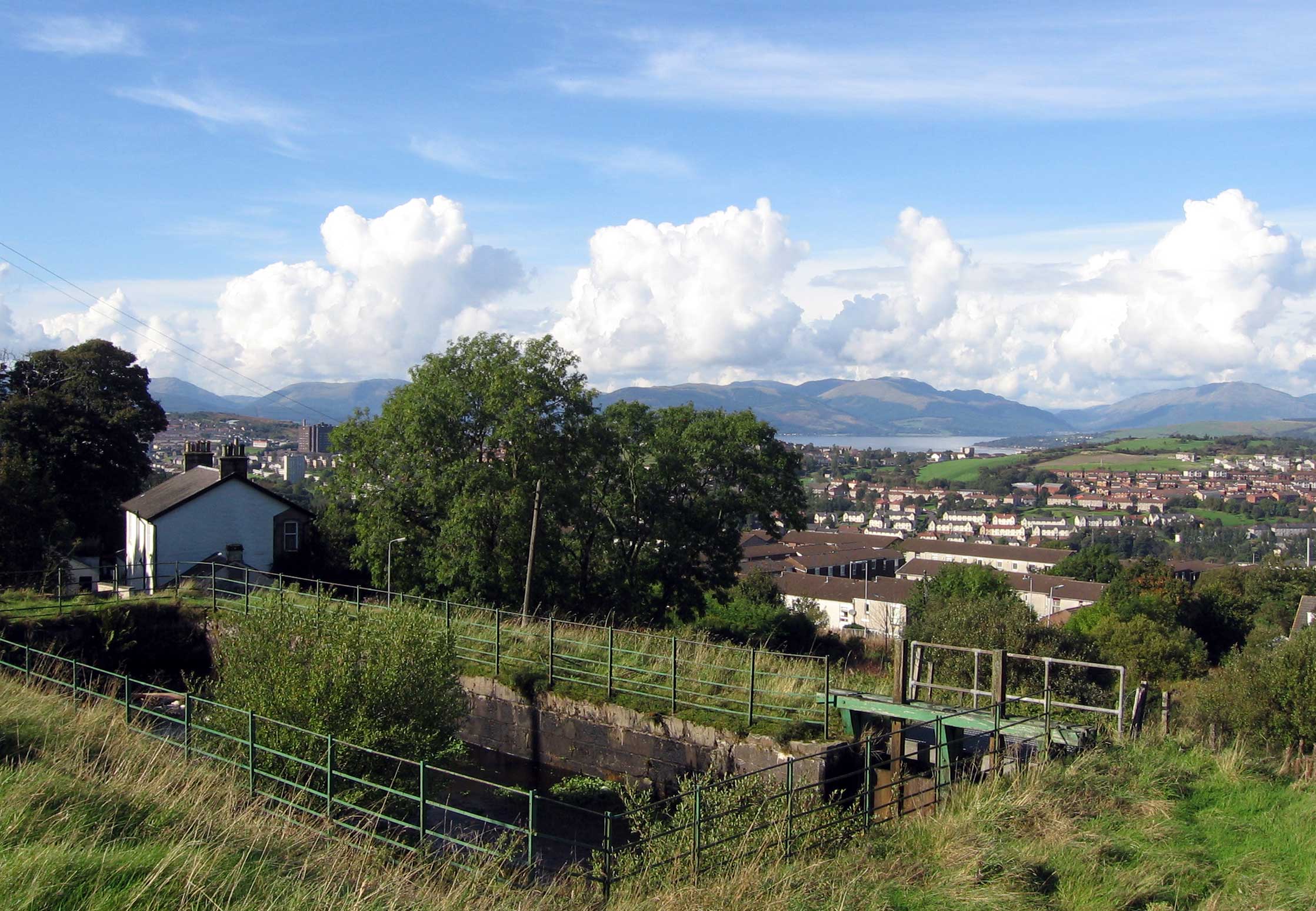
Bunston Knowe is a prominent hill located in Renfrewshire, Scotland. Standing at an elevation of approximately 250 meters (820 feet), it is one of the tallest peaks in the area. The hill is situated near the village of Howwood, about 17 kilometers (10.5 miles) southwest of the city of Paisley.
Bunston Knowe is characterized by its distinctive conical shape, which is a result of volcanic activity that occurred millions of years ago. The hill is primarily composed of basalt, a type of volcanic rock, which gives it a dark grayish appearance. Its slopes are covered with a mix of grasses, heather, and some scattered shrubs, providing a diverse habitat for various species of plants and animals.
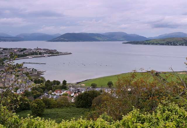
The summit of Bunston Knowe offers breathtaking panoramic views of the surrounding countryside, with rolling hills and lush green landscapes stretching as far as the eye can see. On clear days, it is even possible to catch glimpses of the nearby Clyde Muirsheil Regional Park and the distant peaks of the Arrochar Alps.
The hill is a popular destination for hikers and nature enthusiasts, who can access it via well-marked trails that lead to the summit. The relatively moderate difficulty level of the ascent makes it accessible to a wide range of visitors, from experienced climbers to families with children.
Overall, Bunston Knowe is a natural gem in Renfrewshire, offering both recreational opportunities and stunning views of the Scottish countryside.
If you have any feedback on the listing, please let us know in the comments section below.
Bunston Knowe Images
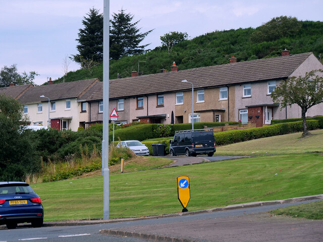
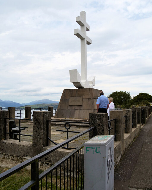
Images are sourced within 2km of 55.939038/-4.7960685 or Grid Reference NS2575. Thanks to Geograph Open Source API. All images are credited.

Bunston Knowe is located at Grid Ref: NS2575 (Lat: 55.939038, Lng: -4.7960685)
Unitary Authority: Inverclyde
Police Authority: Renfrewshire and Inverclyde
What 3 Words
///butterfly.post.tiny. Near Greenock, Inverclyde
Nearby Locations
Related Wikis
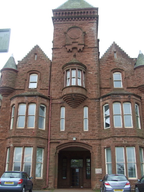
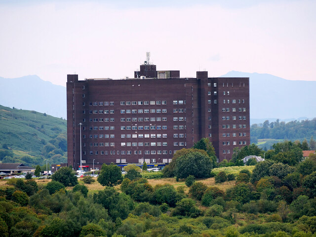
Ravenscraig Hospital
Ravenscraig Hospital was a mental health facility in Inverkip Road, Greenock, Scotland. It was managed by NHS Greater Glasgow and Clyde. == History... ==

Branchton railway station
Branchton railway station is a railway station in Scotland opened in 1967 under British Rail located in the south-west of the town of Greenock, beside...
Branchton
Branchton (Scots: Branchtoun, Scottish Gaelic: Brainsdean) is an area within the Scottish town of Greenock, in Inverclyde. Tenements used to dominate the...

Inverclyde Academy
Inverclyde Academy is a secondary school in Greenock, Scotland that provides education to the majority of the Inverclyde area. The catchment area for the...

HM Prison Greenock
HMP Greenock is a prison located in Greenock, Scotland, serving designated courts in western Scotland by holding male prisoners on remand, and short-term...
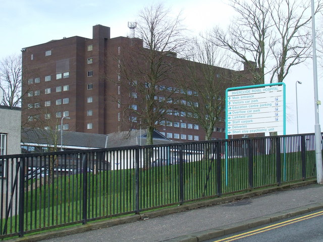
Inverclyde Royal Hospital
Inverclyde Royal Hospital is a district general hospital in Greenock which serves a population area of 125,000 consisting of Inverclyde (including Greenock...

Ravenscraig Stadium
Ravenscraig Stadium is a multi-purpose stadium, in Greenock, Inverclyde, Scotland. The stadium is primarily set up for athletics, with a running track...
Overton, Greenock
Overton is an area in the suburbs of Greenock, Inverclyde. Overton offers excellent views across the River Clyde and suburban Greenock. The area is the...
Nearby Amenities
Located within 500m of 55.939038,-4.7960685Have you been to Bunston Knowe?
Leave your review of Bunston Knowe below (or comments, questions and feedback).