Smithston
Settlement in Renfrewshire
Scotland
Smithston

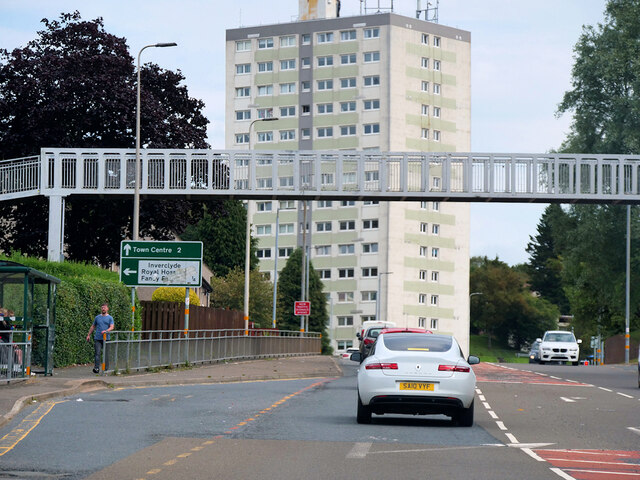
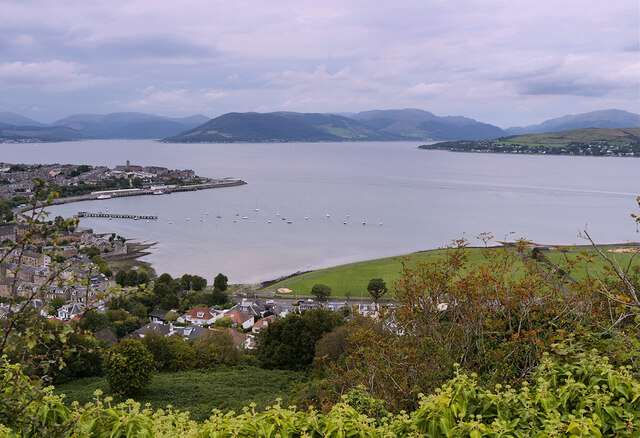
Smithston is a small village located in the historic county of Renfrewshire, Scotland. Situated on the banks of the River Clyde, it lies approximately 10 miles west of the city of Glasgow and 7 miles east of Greenock. The village is part of the larger urban area known as Inverclyde.
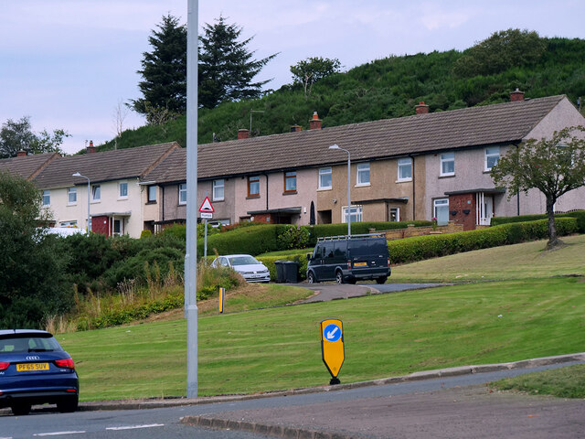
Smithston is a primarily residential area, characterized by its charming, tree-lined streets and well-maintained houses. The village has a close-knit community feel, with a population of around 1,500 residents. It offers a peaceful and tranquil environment, away from the hustle and bustle of larger towns.
Despite its small size, Smithston boasts a few local amenities for its residents. These include a community center, a small convenience store, and a post office. For more extensive shopping and entertainment options, residents can easily access nearby towns, such as Port Glasgow and Greenock.
The surrounding countryside provides ample opportunities for outdoor activities, with picturesque walking trails along the river and through nearby forests. The village is also conveniently located near several golf courses, allowing golf enthusiasts to indulge in their favorite sport.
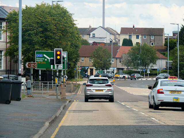
Transportation links in Smithston are efficient, with regular bus services connecting the village to surrounding areas. The nearby Port Glasgow railway station provides easy access to Glasgow and other major cities in Scotland.
Overall, Smithston offers a peaceful and picturesque living environment, with easy access to both urban amenities and natural beauty.
If you have any feedback on the listing, please let us know in the comments section below.
Smithston Images
Images are sourced within 2km of 55.941413/-4.8027423 or Grid Reference NS2575. Thanks to Geograph Open Source API. All images are credited.


Smithston is located at Grid Ref: NS2575 (Lat: 55.941413, Lng: -4.8027423)
Unitary Authority: Inverclyde
Police Authority: Renfrewshire and Inverclyde
What 3 Words
///grinning.kite.drawn. Near Gourock, Inverclyde
Nearby Locations
Related Wikis

Branchton railway station
Branchton railway station is a railway station in Scotland opened in 1967 under British Rail located in the south-west of the town of Greenock, beside...
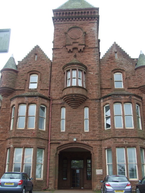
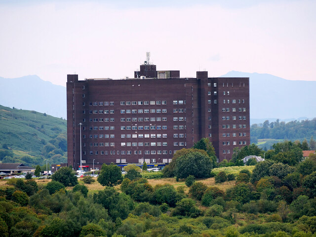
Ravenscraig Hospital
Ravenscraig Hospital was a mental health facility in Inverkip Road, Greenock, Scotland. It was managed by NHS Greater Glasgow and Clyde. == History... ==
Branchton
Branchton (Scots: Branchtoun, Scottish Gaelic: Brainsdean) is an area within the Scottish town of Greenock, in Inverclyde. Tenements used to dominate the...

Inverclyde Academy
Inverclyde Academy (Scottish Gaelic: Acadamaidh Inbhir Chluaidh) is a secondary school in Greenock, Scotland that provides education to the majority of...
Nearby Amenities
Located within 500m of 55.941413,-4.8027423Have you been to Smithston?
Leave your review of Smithston below (or comments, questions and feedback).