Gate Foot

Settlement in Yorkshire

England

Gate Foot

Autumn colour, Upper Cumberworth Whilst exploring a footpath I found that it crosses a field apparently left to nature, with young trees and patches of brambles.  There is a seat behind the tree in the centre of the image, and I thought that this might be a Millennium green, but the nearest ones are at Emley and Clayton West; Upper Cumberworth has a small village garden.
Autumn colour, Upper Cumberworth Credit: Humphrey Bolton

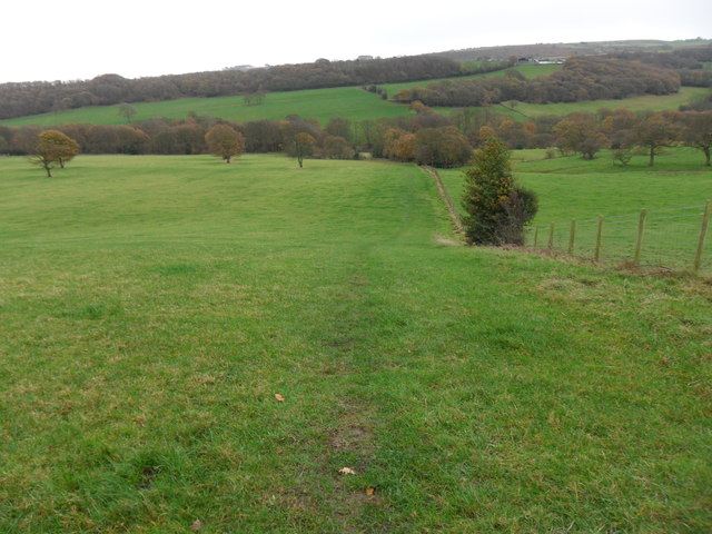
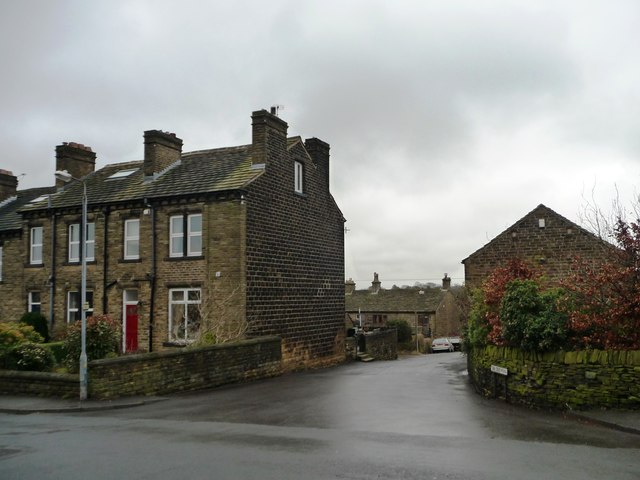
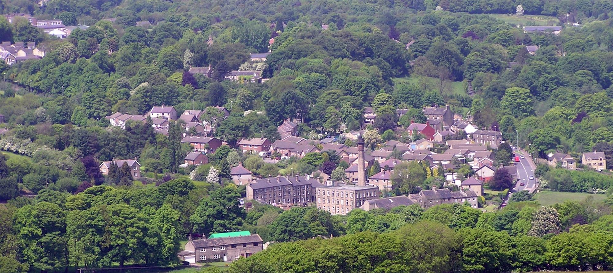
Gate Foot is a small hamlet located in the picturesque region of Yorkshire, England. Situated in the northern part of the country, Gate Foot is nestled amidst rolling green hills and breathtaking landscapes. The hamlet is known for its tranquil and idyllic setting, making it a popular destination for nature enthusiasts and those seeking a peaceful retreat.

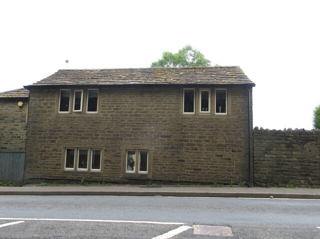
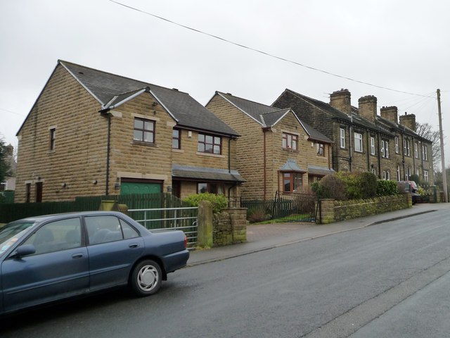
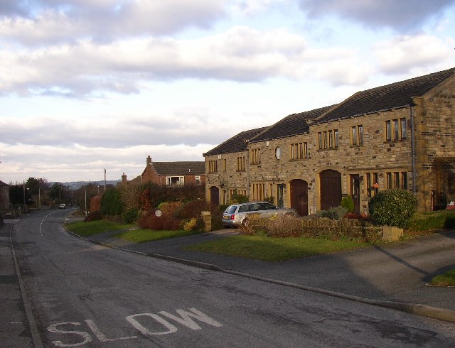
With a population of around 100 residents, Gate Foot exudes a strong sense of community and charm. The hamlet consists of a cluster of traditional stone cottages, which add to its rustic appeal. The architecture reflects the region's rich history and heritage, providing a glimpse into Yorkshire's past.

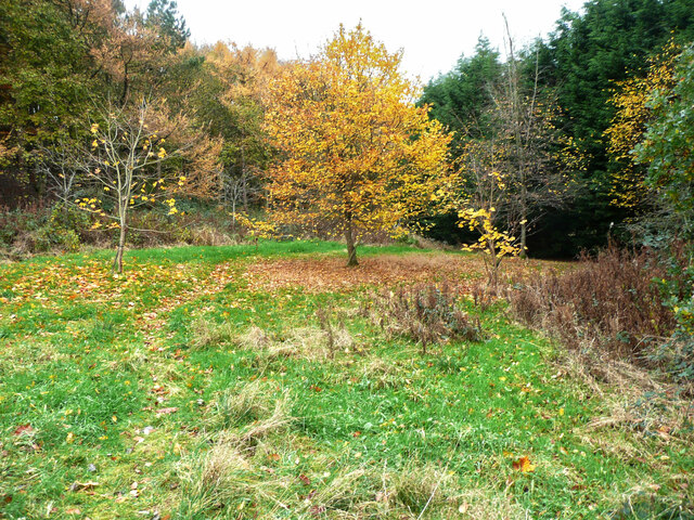
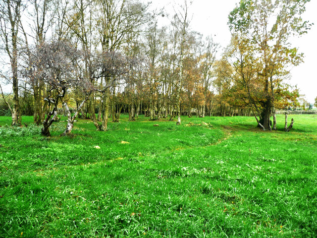
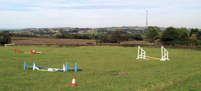
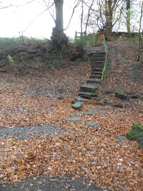
Gate Foot boasts an abundance of natural beauty, with its surrounding countryside offering a plethora of outdoor activities. The area is renowned for its scenic walking trails, allowing visitors to explore the stunning landscapes at their own pace. Additionally, the nearby rivers and streams provide ample opportunities for fishing and boating enthusiasts.

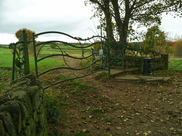
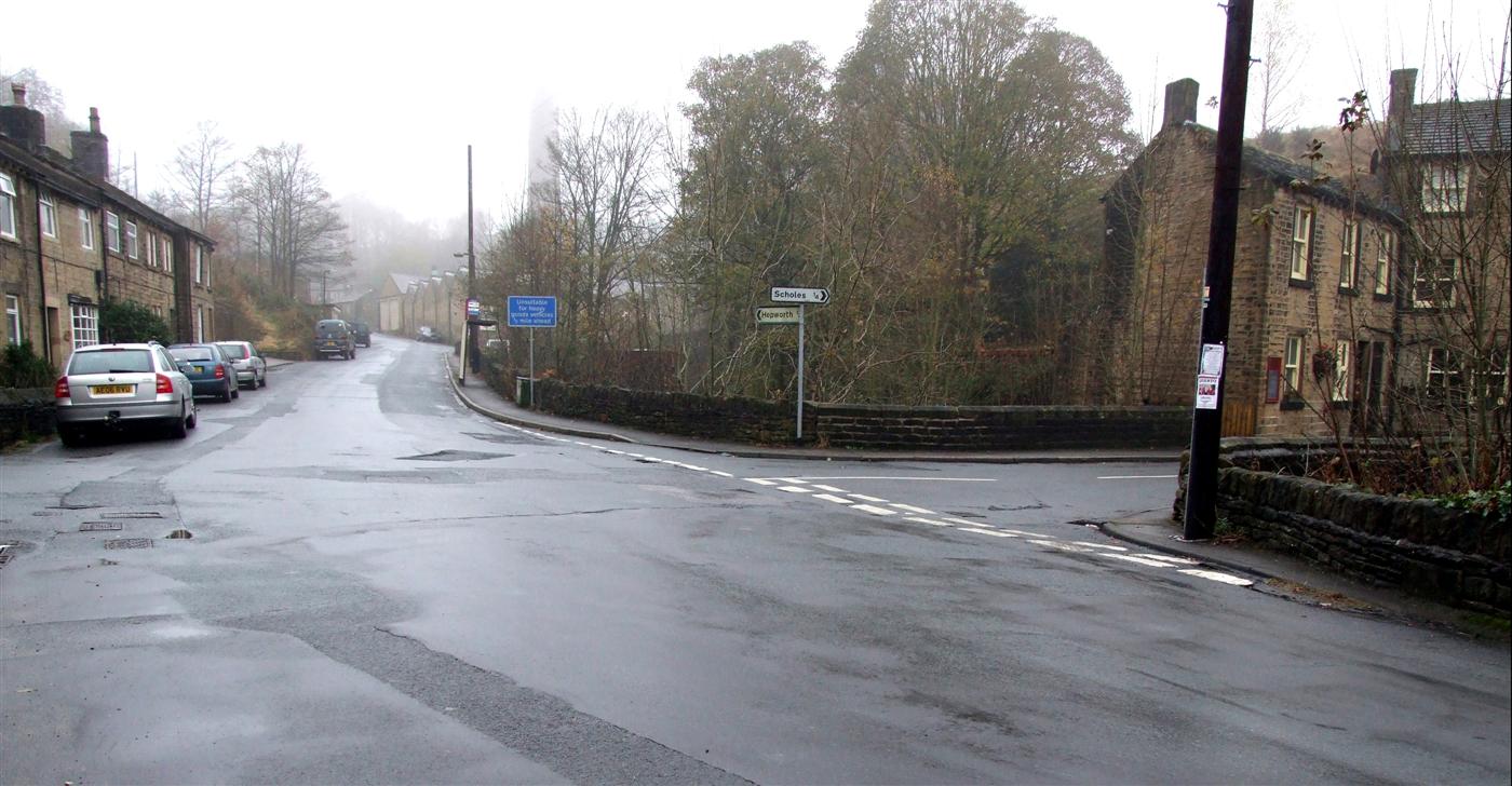
Despite its small size, Gate Foot is well-connected to neighboring towns and cities. The hamlet is conveniently located near major transport routes, making it easily accessible by road. This allows residents and visitors to enjoy the tranquility of Gate Foot while still being within reach of urban amenities and services.

In summary, Gate Foot is a charming and peaceful hamlet in the heart of Yorkshire, offering a perfect blend of natural beauty and community spirit. Whether it's exploring the countryside or simply enjoying the tranquility, Gate Foot is a hidden gem worth discovering.

If you have any feedback on the listing, please let us know in the comments section below.
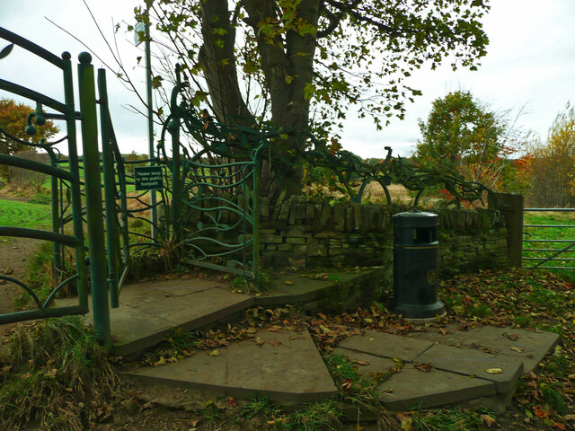
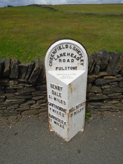
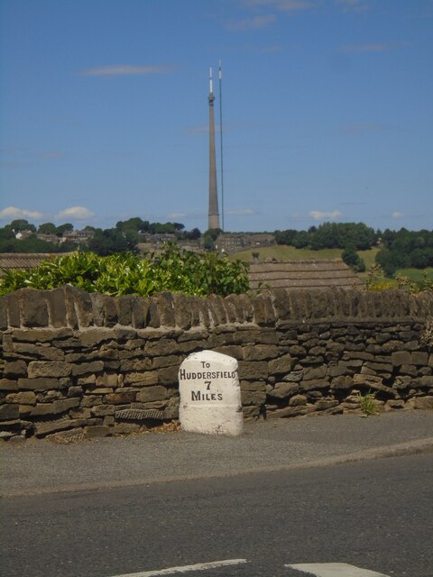
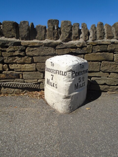
Gate Foot Images

Images are sourced within 2km of 53.57265/-1.7240975 or Grid Reference SE1808. Thanks to Geograph Open Source API. All images are credited.
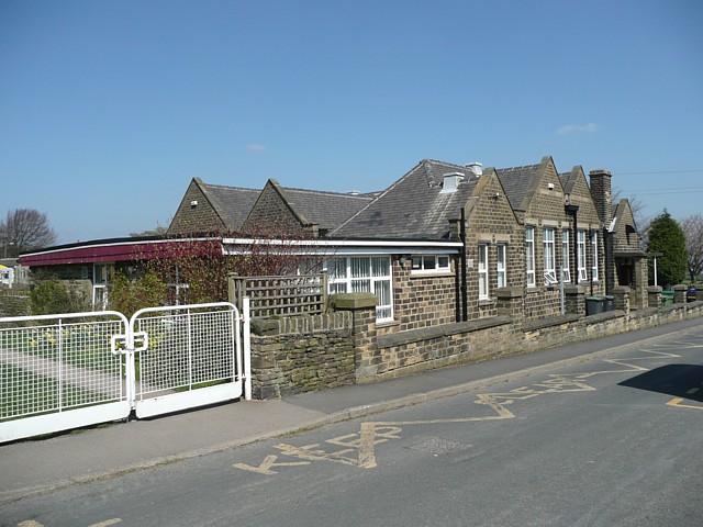
Autumn colour, Upper Cumberworth Whilst exploring a footpath I found that it crosses a field apparently left to nature, with young trees and patches of brambles.  There is a seat behind the tree in the centre of the image, and I thought that this might be a Millennium green, but the nearest ones are at Emley and Clayton West; Upper Cumberworth has a small village garden.
Autumn colour, Upper Cumberworth
Whilst exploring a footpath I found that it crosses a field apparently left to nature, with young trees and patches of brambles. There is a seat behind the tree in the centre of the image, and I thought that this might be a Millennium green, but the nearest ones are at Emley and Clayton West; Upper Cumberworth has a small village garden.
Area of springs, Upper Cumberworth There is water amongst the grass in this area, especially in hollows amongst the birch trees on the other side of the footpath.
Area of springs, Upper Cumberworth
There is water amongst the grass in this area, especially in hollows amongst the birch trees on the other side of the footpath.
Cliffe House, Shepley Photographed during the 2021 artinthehouse event.
Cliffe House, Shepley
Photographed during the 2021 artinthehouse event.
Millennium Gate, Jenkyn Lane, Shepley See <span class="nowrap"><a title="https://www.shepleyvillage.org/village-association-news-august-2014/" rel="nofollow ugc noopener" href="https://www.shepleyvillage.org/village-association-news-august-2014/">Link</a><img style="margin-left:2px;" alt="External link" title="External link - shift click to open in new window" src="https://s1.geograph.org.uk/img/external.png" width="10" height="10"/></span> for a better photograph.
Millennium Gate, Jenkyn Lane, Shepley
See LinkExternal link for a better photograph.
Part of the Millennium Gate, Jenkyn Lane, Shepley This is a revisit to the first geograph for the square: <a href="https://www.geograph.org.uk/photo/81818">SE1809 : Ornate Gateway on the Kirklees Way</a> taken in June 2005. I litter bin has been provided and the foot gate now has a sign asking people to keep to the public footpath.
Part of the Millennium Gate, Jenkyn Lane, Shepley
This is a revisit to the first geograph for the square: SE1809 : Ornate Gateway on the Kirklees Way taken in June 2005. I litter bin has been provided and the foot gate now has a sign asking people to keep to the public footpath.
Old milestone On the A635 from Shepley Lane Head down into New Mills and Holmfirth is a West Riding CC 19C milestone which is the last in the series east from Greenfield which used to be in Yorkshire.  The tollroad from Greenfield to Shepley Lane Head was first enacted in 1823. The milestone is opposite Gate Foot Lane and a pub.   This used to be the Crossroads PH then renamed Toss 'o Coin now derelict.   This metal attachment has the name of the foundry on the bevel, Brayshaw & Booth/Makers/Liversedge.  The stone is painted black.  Grade II listed 1313617.
Old milestone
On the A635 from Shepley Lane Head down into New Mills and Holmfirth is a West Riding CC 19C milestone which is the last in the series east from Greenfield which used to be in Yorkshire. The tollroad from Greenfield to Shepley Lane Head was first enacted in 1823. The milestone is opposite Gate Foot Lane and a pub. This used to be the Crossroads PH then renamed Toss 'o Coin now derelict. This metal attachment has the name of the foundry on the bevel, Brayshaw & Booth/Makers/Liversedge. The stone is painted black. Grade II listed 1313617.
Old milestone A view across the A629 in Shepley.   The milestone has been painted recently.   But in the distance the two masts of Emley Moor Transmitter.  The shorter one was a replacement for the original which collapsed from the weight of snow in 1963.   Now that needs repairs and alterations so the thinner structure has been set up beside it.
Old milestone
A view across the A629 in Shepley. The milestone has been painted recently. But in the distance the two masts of Emley Moor Transmitter. The shorter one was a replacement for the original which collapsed from the weight of snow in 1963. Now that needs repairs and alterations so the thinner structure has been set up beside it.
Old milestone A close-up of the milestone on Abbey Road in Shepley, the A629.   It may have been defaced at some time, 1940?, but the legend has been recut and the stone is well-maintained.   Grade II listed 1135384.
Old milestone
A close-up of the milestone on Abbey Road in Shepley, the A629. It may have been defaced at some time, 1940?, but the legend has been recut and the stone is well-maintained. Grade II listed 1135384.
Toll Bar Cottage, Shepley Former Toll House on the Eastern side of Lane Head Road (A629). Known as Bar House 1859.  
It served the Huddersfield & Penistone Turnpike Trust in the 18ᵗʰ & 19ᵗʰ C.

Milestone Society National ID: YW.SHE
Toll Bar Cottage, Shepley
Former Toll House on the Eastern side of Lane Head Road (A629). Known as Bar House 1859. It served the Huddersfield & Penistone Turnpike Trust in the 18ᵗʰ & 19ᵗʰ C. Milestone Society National ID: YW.SHE
Mill at Birds Edge Early 19th century textile mill and pond.
Mill at Birds Edge
Early 19th century textile mill and pond.
Fallen jumps Emley moor TV mast can be clearly seen in the distance.
Fallen jumps
Emley moor TV mast can be clearly seen in the distance.
Wesleyan Reform Chapel, Birds Edge Lane, Denby
Primary School, Birds Edge, Denby This presumably also serves Upper Cumberworth and the many scattered houses in the surrounding area.
Primary School, Birds Edge, Denby
This presumably also serves Upper Cumberworth and the many scattered houses in the surrounding area.
Stone Wood Dike, near Shepley Stepping stones over Stone Wood Dike.
Stone Wood Dike, near Shepley
Stepping stones over Stone Wood Dike.
Field path, near Thurstonland Looking down field-edge path back towards Shepley.  Mathewman Wood is in the distance.
Field path, near Thurstonland
Looking down field-edge path back towards Shepley. Mathewman Wood is in the distance.
Contrasting houses on Station Road The newer houses have lower roofs, wider frontages and 'picture' windows.
Contrasting houses on Station Road
The newer houses have lower roofs, wider frontages and 'picture' windows.
1 - 21 Yew Tree Road [odds only] Along a back lane that is parallel to Station Road.
1 - 21 Yew Tree Road [odds only]
Along a back lane that is parallel to Station Road.
Spot height at 194 metres The junction of Yew Tree Road and Station Road, Shepley.
Spot height at 194 metres
The junction of Yew Tree Road and Station Road, Shepley.
Show me another place!

Gate Foot is located at Grid Ref: SE1808 (Lat: 53.57265, Lng: -1.7240975)

Division: West Riding

Unitary Authority: Kirklees

Police Authority: West Yorkshire

What 3 Words

///tummy.stirs.spite. Near Shepley, West Yorkshire

Related Wikis

A635 road

The A635 is a main road that runs between Manchester and Doncaster running east–west through Stalybridge, Saddleworth Moor, Holmfirth, Barnsley and the...

Shepley

Shepley is a village in the civil parish of Kirkburton, in Kirklees, West Yorkshire, England. It lies 8 miles (13 km) south south east of Huddersfield...

New Mill, West Yorkshire

New Mill, West Yorkshire, England, is a small, semi-rural village near the town of Holmfirth. It is in the metropolitan borough of Kirklees and the civil...

Birdsedge

Birdsedge (or Birds Edge) is a small village in the borough of Kirklees in West Yorkshire, England, on the edge of Yorkshire's Pennine Hills, standing...

Jackson Bridge

Jackson Bridge is a small village in the civil parish of Holme Valley in the Metropolitan Borough of Kirklees in West Yorkshire, England and within the...

Shepley railway station

Shepley railway station serves the villages of Shepley and Shelley in West Yorkshire, England. It lies on the Penistone Line operated by Northern. Opened...

Stocksmoor

Stocksmoor is a hamlet, near Huddersfield, West Yorkshire, England. It is situated between the villages of Shepley and Brockholes. The total population...

Stocksmoor railway station

Stocksmoor railway station serves the village of Stocksmoor near Huddersfield in West Yorkshire, England. The station is 6.25 miles (10 km) from Huddersfield...

Nearby Amenities

Located within 500m of 53.57265,-1.7240975
Barrier: block
Foot: yes
Material: stone
Lat/Long: 53.5714679/-1.7262361
Bus Stop
Penistone Road Marsh Lane
Bus: yes
Local Ref: 45020881
Naptan AtcoCode: 450020881
Naptan Bearing: NE
Naptan CommonName: Penistone Road Marsh Lane
Naptan Crossing: Marsh Lane
Naptan Indicator: Stop 45020881
Naptan PlusbusZoneRef: LEEDS
Naptan ShortCommonName: Marsh Lane
Naptan Street: Penistone Road
Naptan Verified: no
Public Transport: platform
Source: naptan_import
Lat/Long: 53.5746292/-1.7262745
Bus Stop
Penistone Road Gate Foot Lane
Bus: yes
Local Ref: 45020886
Naptan AtcoCode: 450020886
Naptan Bearing: SW
Naptan CommonName: Penistone Road Gate Foot Lane
Naptan Crossing: Gate Foot Lane
Naptan Indicator: Stop 45020886
Naptan Landmark: Crossroads Inn
Naptan PlusbusZoneRef: LEEDS
Naptan ShortCommonName: Gate Foot Lane
Naptan Street: Penistone Road
Naptan Verified: no
Public Transport: platform
Source: naptan_import
Lat/Long: 53.5735934/-1.7293016
Bus Stop
Penistone Road Horn Lane
Bus: yes
Local Ref: 45020887
Naptan AtcoCode: 450020887
Naptan Bearing: NE
Naptan CommonName: Penistone Road Horn Lane
Naptan Crossing: Horn Lane
Naptan Indicator: Stop 45020887
Naptan Landmark: Crossroads Inn
Naptan PlusbusZoneRef: LEEDS
Naptan ShortCommonName: Horn Lane
Naptan Street: Penistone Road
Naptan Verified: no
Public Transport: platform
Source: naptan_import
Lat/Long: 53.5736476/-1.7294522
Penistone Road Marsh Lane
Local Ref: 45051037
Naptan AtcoCode: 450051037
Naptan Bearing: SW
Naptan BusStopType: CUS
Naptan CommonName: Penistone Road Marsh Lane
Naptan Crossing: Marsh Lane
Naptan Indicator: Stop 45051037
Naptan PlusbusZoneRef: LEEDS
Naptan ShortCommonName: Marsh Lane
Naptan Street: Penistone Road
Naptan Verified: no
Source: naptan_import
Lat/Long: 53.5745481/-1.7262146
Barrier: stile
Step Count: 2
Stile: stepover
Lat/Long: 53.5751653/-1.7272714
Barrier: stile
Step Count: 2
Stile: stepover
Lat/Long: 53.5759349/-1.7290947
Deershaw
Place: locality
Lat/Long: 53.5692522/-1.7278781
Gate Foot
Place: hamlet
Lat/Long: 53.5727532/-1.7258824
Krishan's Stone
Historic: memorial
Material: stone
Note: Large memorial stone to Krishan Hurst (21st July 1986 - 23rd September 1993)
Lat/Long: 53.5727969/-1.7244155
Post Box
Collection Times: Mo-Fr 16:45; Sa 11:30
Operator: Royal Mail
Post Box Type: lamp
Ref: HD8 347
Royal Cypher: EIIR
Royal Cypher Wikidata: Q33102113
Source: survey
Lat/Long: 53.5734941/-1.7294902
Parking
Capacity: 3
Lat/Long: 53.5725527/-1.7231156
Barrier: stile
Stile: stepover
Lat/Long: 53.5701712/-1.7247713
Barrier: stile
Stile: stepover
Lat/Long: 53.570697/-1.7253839
Barrier: stile
Step Count: 1
Stile: stepover
Lat/Long: 53.5713004/-1.7260753
Barrier: stile
Step Count: 1
Stile: stepover
Lat/Long: 53.5732397/-1.7244882
The data included in this document is from www.openstreetmap.org. The data is made available under ODbL.

Have you been to Gate Foot?

Leave your review of Gate Foot below (or comments, questions and feedback).