Folly Town

Settlement in Kent Ashford

England

Folly Town

Hastingleigh church St. Mary's is a grade I listed building, oldest parts 11th century.
Hastingleigh church Credit: Robin Webster

Folly Town is a quaint village located in the county of Kent, England. Situated just a few miles southwest of the bustling city of Canterbury, Folly Town offers a peaceful and idyllic escape from the urban environment. With a population of around 500 residents, this small community exudes a sense of charm and tranquility.

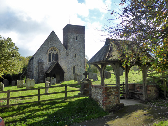
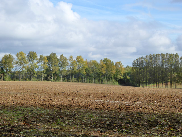
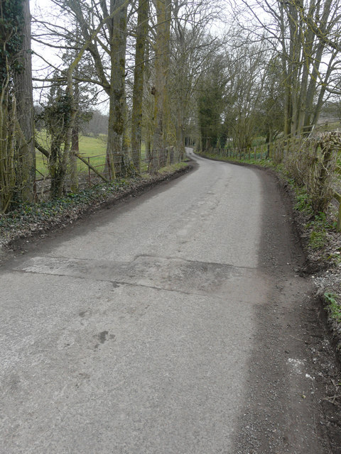
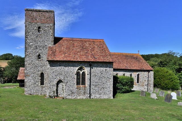
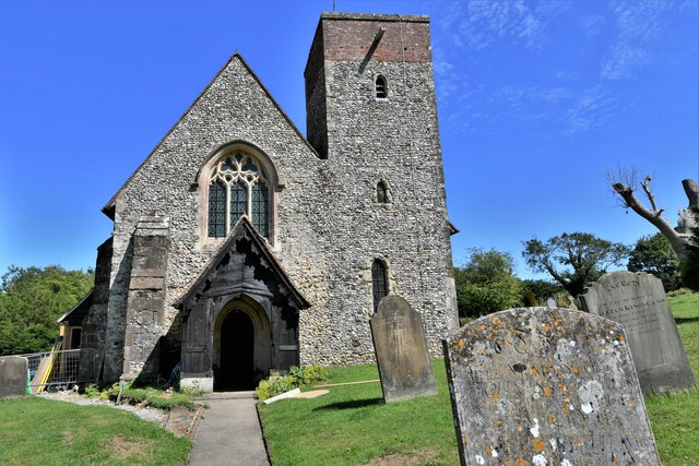
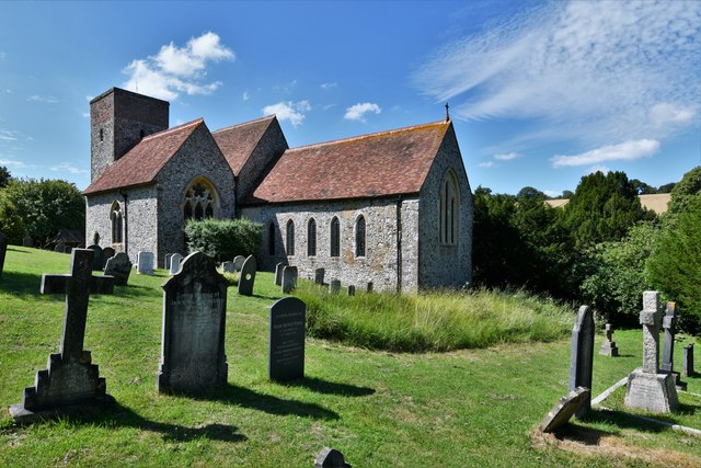
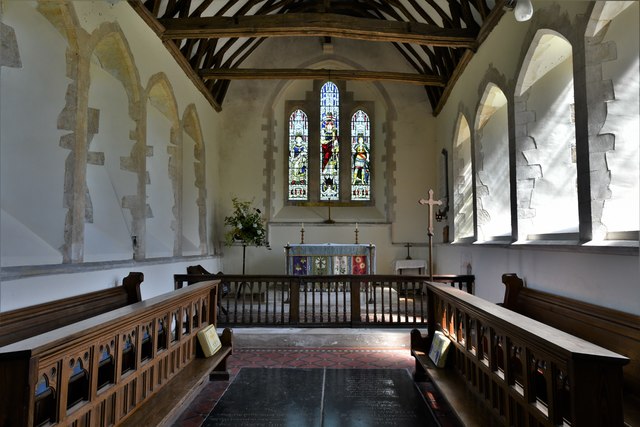
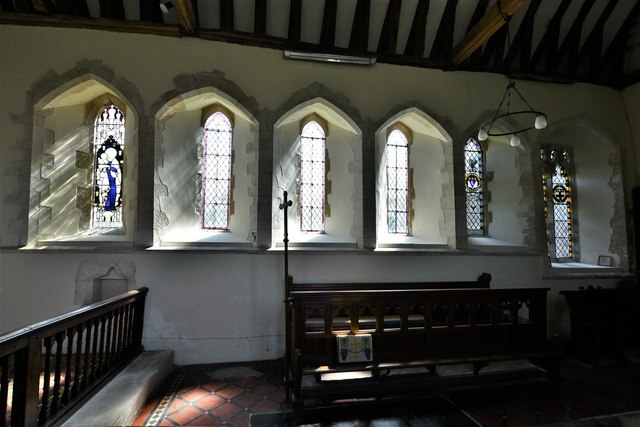
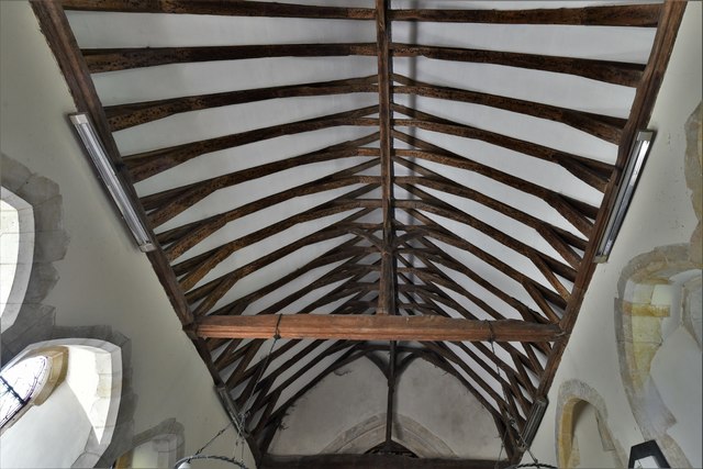
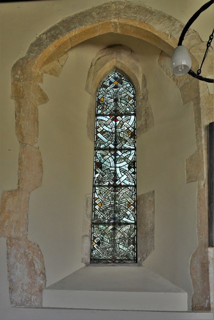
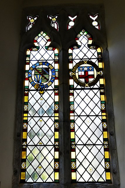
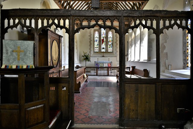
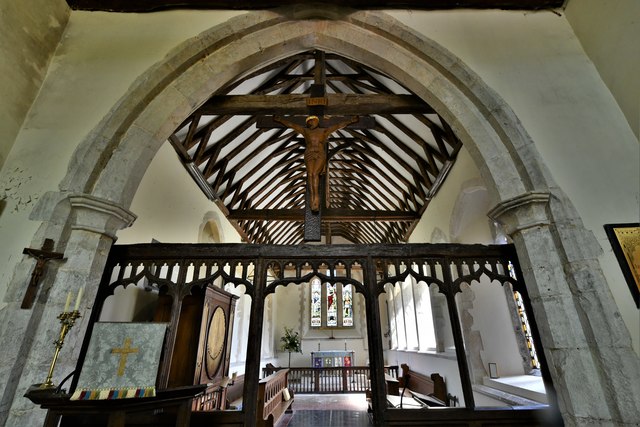
The village is renowned for its picturesque landscapes, featuring rolling hills, lush green fields, and charming country lanes lined with traditional cottages. The architecture of Folly Town reflects its rich history, with many buildings dating back several centuries. The centerpiece of the village is the historic St. Mary's Church, a beautiful medieval structure that dominates the skyline.

Despite its small size, Folly Town boasts a strong sense of community. The village hosts various annual events and festivals, bringing residents together to celebrate their shared heritage. The local pub, The Folly Inn, is a popular gathering spot where villagers and visitors can enjoy a pint of local ale and engage in friendly conversation.

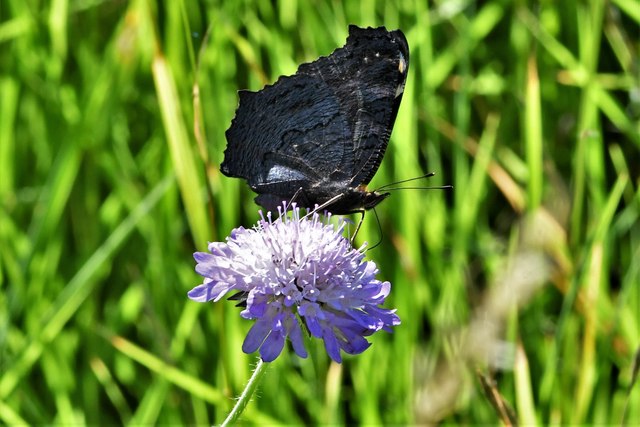
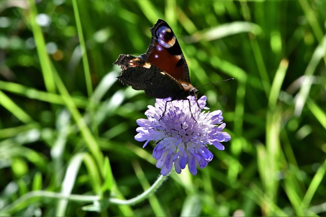
Nature enthusiasts will find plenty to explore in and around Folly Town. The village is surrounded by stunning countryside, offering opportunities for scenic walks, cycling, and horseback riding. The nearby River Stour is a haven for wildlife, attracting birdwatchers and anglers alike.

Overall, Folly Town offers a charming and peaceful retreat for those seeking solace from the busyness of modern life. Its rich history, natural beauty, and strong sense of community make it a hidden gem in the heart of Kent.

If you have any feedback on the listing, please let us know in the comments section below.

Folly Town Images

Images are sourced within 2km of 51.167734/0.98537695 or Grid Reference TR0845. Thanks to Geograph Open Source API. All images are credited.

Hastingleigh church St. Mary's is a grade I listed building, oldest parts 11th century.
Hastingleigh church
St. Mary's is a grade I listed building, oldest parts 11th century.
Farmland east of Shrubs Wood Hedgerow wind break trees suggest there were once orchards or hops here.
Farmland east of Shrubs Wood
Hedgerow wind break trees suggest there were once orchards or hops here.
Trees along a lane The trees, on the left, are crack willows (salix fragilis) and are located just round the bend in the image showing <a href="https://www.geograph.org.uk/photo/5730050">TR1045 : Newly planted trees beside a lane</a>. It is possible that the other trees were cut down, so that a new fence might be installed further back from the lane’s edge, as this one is a continuation of the old fence.
Trees along a lane
The trees, on the left, are crack willows (salix fragilis) and are located just round the bend in the image showing TR1045 : Newly planted trees beside a lane. It is possible that the other trees were cut down, so that a new fence might be installed further back from the lane’s edge, as this one is a continuation of the old fence.
Hastingleigh, St. Mary's Church
Hastingleigh, St. Mary's Church: South east aspect
Hastingleigh, St. Mary's Church: Area set aside for nature, Peacock butterfly 1
Hastingleigh, St. Mary's Church: Area set aside for nature, Peacock butterfly 2
Hastingleigh, St. Mary's Church: Area set aside for nature, Small skipper butterfly
Hastingleigh, St. Mary's Church: The Early English chancel
Hastingleigh, St. Mary's Church: The north wall of the Early English chancel
Hastingleigh, St. Mary's Church: The chancel roof
Hastingleigh, St. Mary's Church: c13th lancet window filled with 'grisaille' glass
Hastingleigh, St. Mary's Church: c16th glass in the south chancel window
Hastingleigh, St. Mary's Church: c13th or c14th wall painting in Norman round-arched recess 1
Hastingleigh, St. Mary's Church: c13th or c14th wall painting in Norman round-arched recess 2
Hastingleigh, St. Mary's Church: Beautiful original c15th oak screen
Show me another place!

Folly Town is located at Grid Ref: TR0845 (Lat: 51.167734, Lng: 0.98537695)

Administrative County: Kent

District: Ashford

Police Authority: Kent

What 3 Words

///cheek.suggested.soils. Near Wye, Kent

Related Wikis

Hastingleigh

Hastingleigh is a small civil parish centred on an escarpment of the Kent Downs. The parish is three miles east of Wye and ten miles south of Canterbury...

Shrub's Wood Long Barrow

Shrub's Wood Long Barrow is an unchambered long barrow located near to the village of Elmsted in the south-eastern English county of Kent. It was probably...

Wye and Crundale Downs

Wye and Crundale Downs is a 358.3-hectare (885-acre) biological and geological Site of Special Scientific Interest in a number of separate areas east of...

Park Gate Down

Park Gate Down or Parkgate Down is a 7-hectare (17-acre) biological Site of Special Scientific Interest south-east of Stelling Minnis in Kent. It is also...

Nearby Amenities

Located within 500m of 51.167734,0.98537695
Barrier: stile
Lat/Long: 51.1718137/0.9835574
Barrier: kissing_gate
Lat/Long: 51.1645936/0.9825522
Barrier: stile
Lat/Long: 51.1641712/0.9814109
Barrier: stile
Lat/Long: 51.1641358/0.9814109
Barrier: kissing_gate
Lat/Long: 51.1645568/0.9826121
Barrier: kissing_gate
Lat/Long: 51.1644195/0.9828421
Barrier: stile
Lat/Long: 51.1644238/0.9827768
Barrier: stile
Lat/Long: 51.1690174/0.9823652
Barrier: stile
Lat/Long: 51.1707986/0.9842641
Barrier: stile
Lat/Long: 51.1713429/0.9842518
Information: board
Lat/Long: 51.1645562/0.9824228
The data included in this document is from www.openstreetmap.org. The data is made available under ODbL.

Have you been to Folly Town?

Leave your review of Folly Town below (or comments, questions and feedback).