Foord
Settlement in Kent Shepway
England
Foord
Foord is a small village located in the county of Kent, in southeastern England. Situated near the town of Folkestone, Foord is nestled in the picturesque countryside of the county. The village is known for its serene and tranquil atmosphere, making it an ideal place for those seeking a peaceful retreat away from the hustle and bustle of city life.
Foord is characterized by its charming and traditional English architecture, with many quaint cottages and houses dotting the landscape. The village is surrounded by lush green fields and rolling hills, providing stunning views of the natural beauty of Kent.
The village is home to a close-knit community, with a small population of residents who enjoy a close connection with their neighbors. The village has a friendly and welcoming atmosphere, with community events and gatherings being a common occurrence.
Despite its small size, Foord offers some amenities to its residents and visitors. There are a few local shops, including a convenience store and a small café, where one can find daily necessities and enjoy a cup of tea or coffee. Additionally, Foord is well-connected to nearby towns and cities, with good transportation links providing easy access to larger retail centers and entertainment options.
Overall, Foord is a charming and peaceful village in Kent, offering a serene countryside setting and a strong sense of community. It is an ideal place for those seeking a quiet and idyllic lifestyle amidst the natural beauty of England's southeastern region.
If you have any feedback on the listing, please let us know in the comments section below.
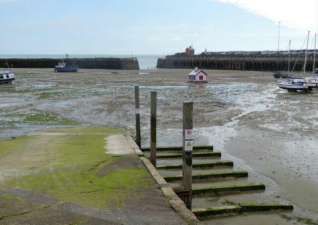
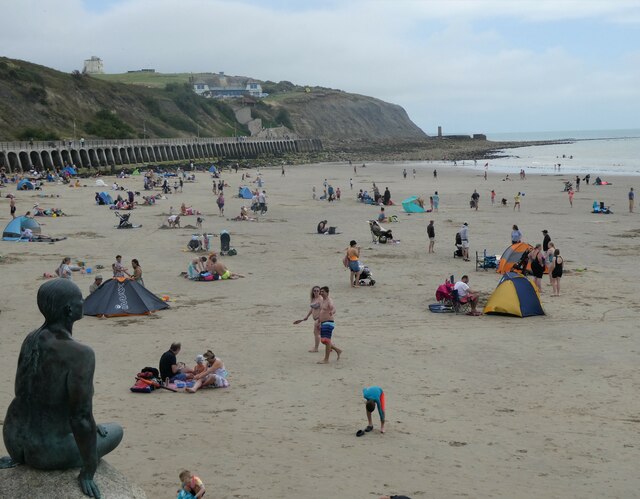
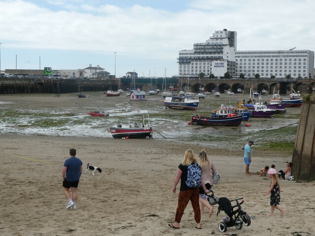
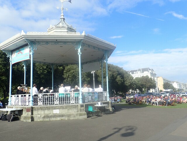
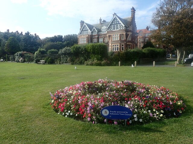
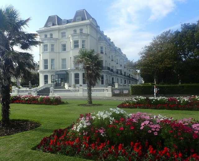
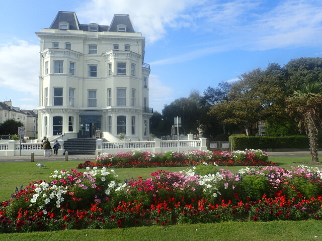
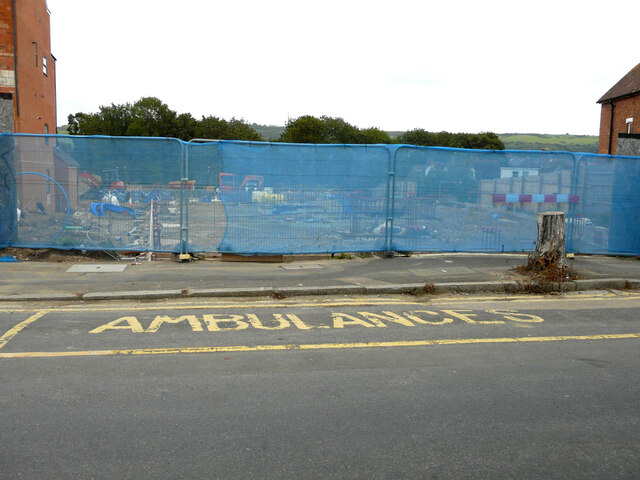
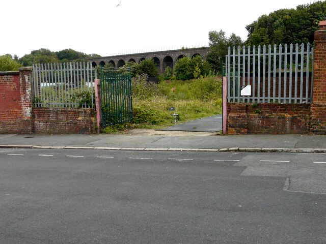
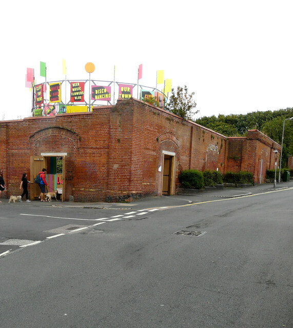
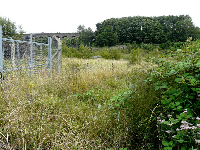
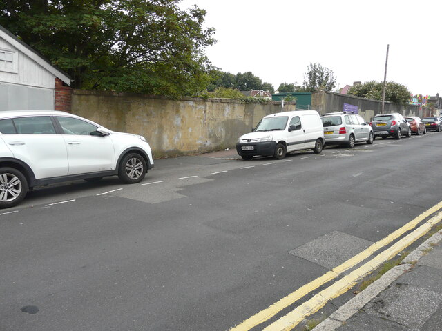
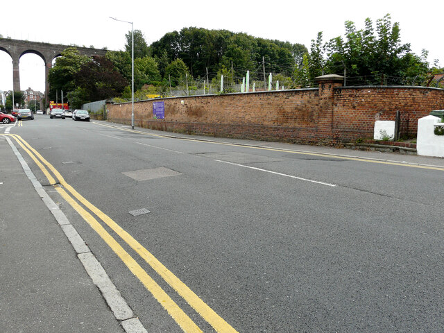
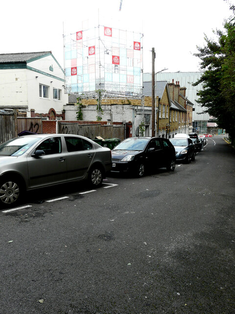
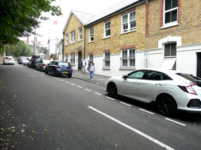
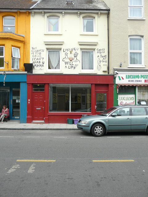
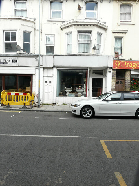
Foord Images
Images are sourced within 2km of 51.088275/1.1836479 or Grid Reference TR2336. Thanks to Geograph Open Source API. All images are credited.
Foord is located at Grid Ref: TR2336 (Lat: 51.088275, Lng: 1.1836479)
Administrative County: Kent
District: Shepway
Police Authority: Kent
What 3 Words
///mermaids.blogging.script. Near Folkestone, Kent
Nearby Locations
Related Wikis

Folkestone East railway station
Folkestone East is a former railway station in Folkestone, England. Opened by the South Eastern Railway in 1843 as part of its main line from London, it...

Art Buff
Art Buff is a graffiti artwork by Banksy which was created in Folkestone in 2014, Banksy announcing it as "part of the Folkestone triennial. Kind of"....
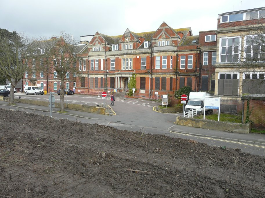
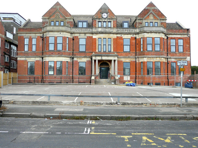
Royal Victoria Hospital, Folkestone
The Royal Victoria Hospital, Folkestone, is a community hospital located on the edge of Radnor Park in Folkestone, Kent, in England. It is managed by the...

Folkestone Town Hall
Folkestone Town Hall, also known as The Guildhall, is a municipal building in Guildhall Street, Folkestone, Kent, England. The town hall, which was the...

Folkestone Priory
Folkestone Priory was a pre-Reformation Benedictine monastery at Folkestone in the English county of Kent. The priory church survives as the present parish...

St Mary and St Eanswythe's Church, Folkestone
St Mary and St Eanswythe's Church is a Grade II* listed Anglican church in Folkestone, Kent, situated not far from cliffs overlooking the English Channel...

Folkestone Roman Villa
Folkestone Roman Villa, also referred to as the East Bay Site, is a villa built during the Roman Occupation of Britain, and is located in East Wear Bay...

Folkestone
Folkestone ( FOHK-stən) is a port town on the English Channel, in Kent, south-east England. The town lies on the southern edge of the North Downs at a...
Nearby Amenities
Located within 500m of 51.088275,1.1836479Have you been to Foord?
Leave your review of Foord below (or comments, questions and feedback).