Round Wood
Wood, Forest in Kent Ashford
England
Round Wood
Round Wood is a small woodland area located in the county of Kent, England. Situated near the village of Hartley, it is part of the larger Ashenbank Wood complex. Round Wood covers an area of approximately 20 hectares and consists mainly of mixed broadleaf trees, including oak, birch, beech, and ash. The wood is classified as a semi-natural ancient woodland, meaning it has been present since at least 1600 AD.
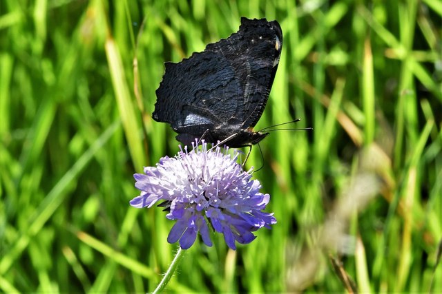
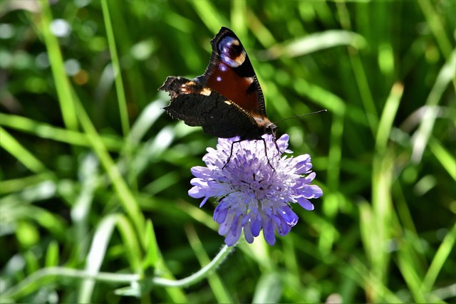
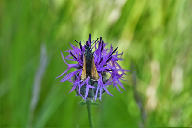
The woodland is known for its diverse flora and fauna, providing a habitat for various species of plants, insects, birds, and mammals. Bluebells, primroses, and wood anemones carpet the forest floor during spring, creating a picturesque scene. The wood is also home to a rich bird population, including woodpeckers, tawny owls, and various songbirds.
Round Wood is a popular destination for nature enthusiasts and walkers, offering several well-maintained footpaths that wind through the trees. The paths provide an opportunity to explore the different sections of the wood, each with its own unique character and charm. Visitors can enjoy the peaceful ambiance, listen to the birdsong, and observe the wildlife that thrives in this natural environment.
The wood is managed by the Woodland Trust, a conservation charity that aims to preserve and restore native woodlands across the UK. They actively work to maintain Round Wood's biodiversity, ensuring the longevity of this valuable natural resource.
Overall, Round Wood in Kent is a tranquil and scenic woodland that offers visitors a chance to connect with nature, enjoy the beauty of ancient trees, and experience the wonders of a diverse ecosystem.
If you have any feedback on the listing, please let us know in the comments section below.
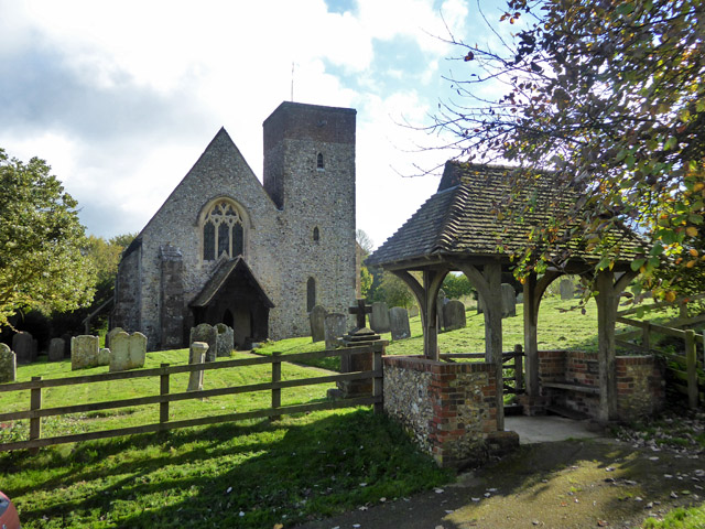
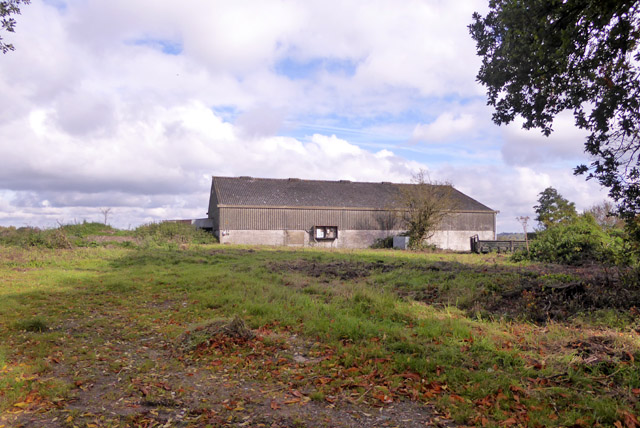
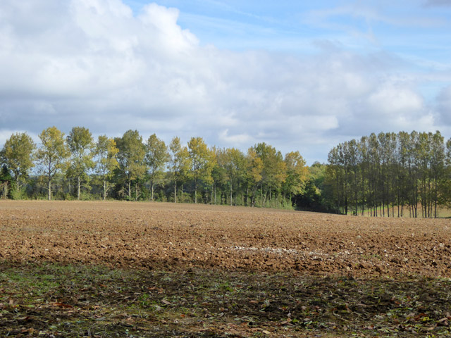
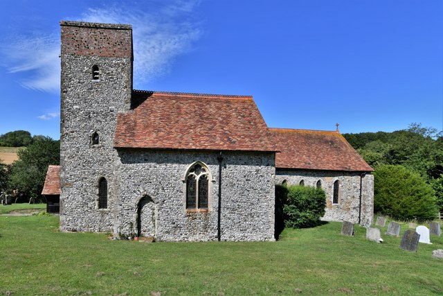
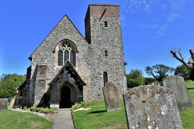
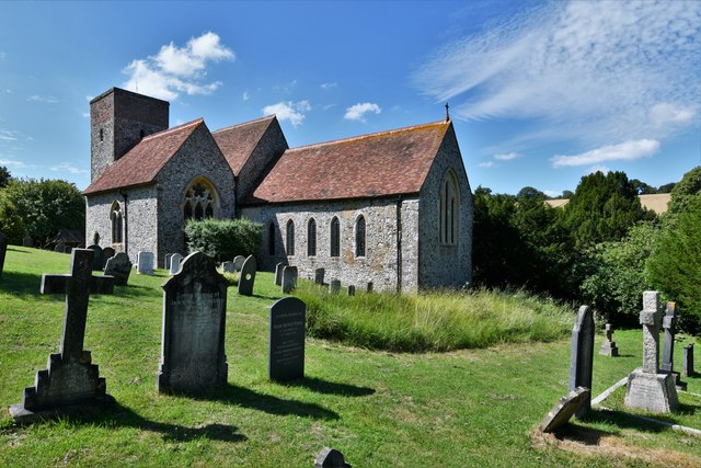
Round Wood Images
Images are sourced within 2km of 51.172016/0.9843087 or Grid Reference TR0845. Thanks to Geograph Open Source API. All images are credited.


Round Wood is located at Grid Ref: TR0845 (Lat: 51.172016, Lng: 0.9843087)
Administrative County: Kent
District: Ashford
Police Authority: Kent
What 3 Words
///bluff.talkers.shadowed. Near Wye, Kent
Nearby Locations
Related Wikis

Wye and Crundale Downs
Wye and Crundale Downs is a 358.3-hectare (885-acre) biological and geological Site of Special Scientific Interest in a number of separate areas east of...

Shrub's Wood Long Barrow
Shrub's Wood Long Barrow is an unchambered long barrow located near to the village of Elmsted in the south-eastern English county of Kent. It was probably...

Hastingleigh
Hastingleigh is a small civil parish centred on an escarpment of the Kent Downs. The parish is three miles east of Wye and ten miles south of Canterbury...

Park Gate Down
Park Gate Down or Parkgate Down is a 7-hectare (17-acre) biological Site of Special Scientific Interest south-east of Stelling Minnis in Kent. It is also...
Related Videos

Summer Solstice Evening Walk 🌞
Summer Solstice is my fave night to explore! Sunset is at 9.15 ish! There have been a couple of previous SS videos as mentioned ...

Summer Solstice Party Walk!!!
summersolstice #party #kentwalks Summer Solstice is the best festival and time of the year. It is right at the top of the walking ...
Wyld Wye
A budget wild-camp at Wye Crown on the Wye Downs in Kent on a wet and windy August bank holiday weekend. Gear list totalled ...

Wye National Nature Reserve | Fly along the walking route | Drone Flight
From the car park along the path you would walk.
Nearby Amenities
Located within 500m of 51.172016,0.9843087Have you been to Round Wood?
Leave your review of Round Wood below (or comments, questions and feedback).