Richards Wood

Wood, Forest in Kent Ashford

England

Richards Wood

Mast near Wye
Mast near Wye Credit: N Chadwick

Richards Wood, located in Kent, England, is a charming and picturesque forest that covers an area of approximately 100 acres. The wood is situated near the village of Wood, which is renowned for its natural beauty and tranquility. It is a popular destination for nature enthusiasts, hikers, and birdwatchers due to its diverse wildlife and stunning scenery.

The woodland is predominantly composed of native broadleaf trees, including oak, beech, and ash, which create a dense and lush canopy. These trees provide shelter and habitat for a wide variety of bird species, such as woodpeckers, nightingales, and owls, making it a haven for birdwatchers. Additionally, the forest floor is covered with an array of wildflowers during the spring and summer months, adding bursts of vibrant colors to the landscape.

Visitors to Richards Wood can enjoy a network of well-maintained walking trails that meander through the forest, allowing them to immerse themselves in the natural surroundings. These paths offer opportunities for both leisurely strolls and more challenging hikes, catering to individuals of all fitness levels. Along the trails, there are several designated picnic areas where visitors can rest and take in the peaceful ambiance.

Furthermore, Richards Wood is managed by a local conservation organization, ensuring the preservation of its natural ecosystem. The wood is carefully maintained, allowing for a healthy and sustainable environment for both flora and fauna. It is also a designated Site of Special Scientific Interest (SSSI), recognizing its ecological importance and unique biodiversity.

Overall, Richards Wood in Kent is a captivating forest that offers a delightful escape from the hustle and bustle of daily life. Its tranquil ambiance, diverse wildlife, and well-maintained trails make it a must-visit destination for nature lovers and outdoor enthusiasts.

If you have any feedback on the listing, please let us know in the comments section below.

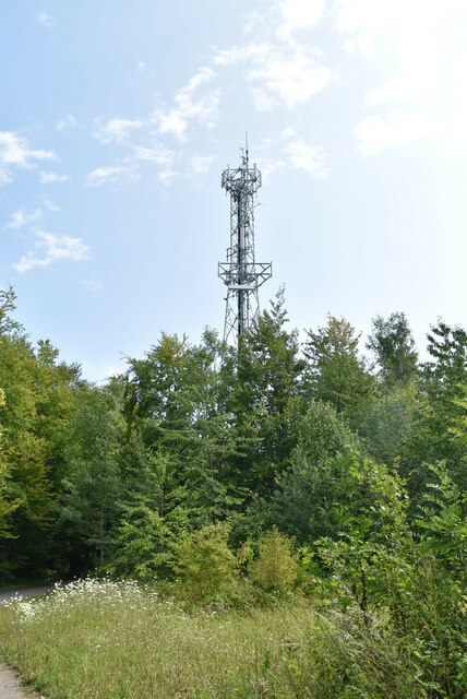
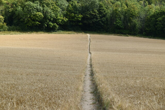
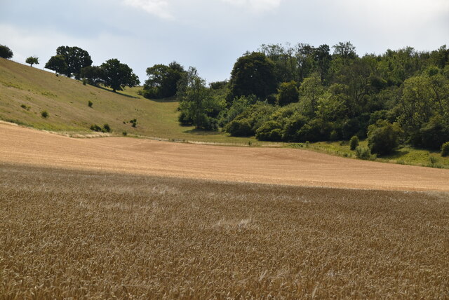
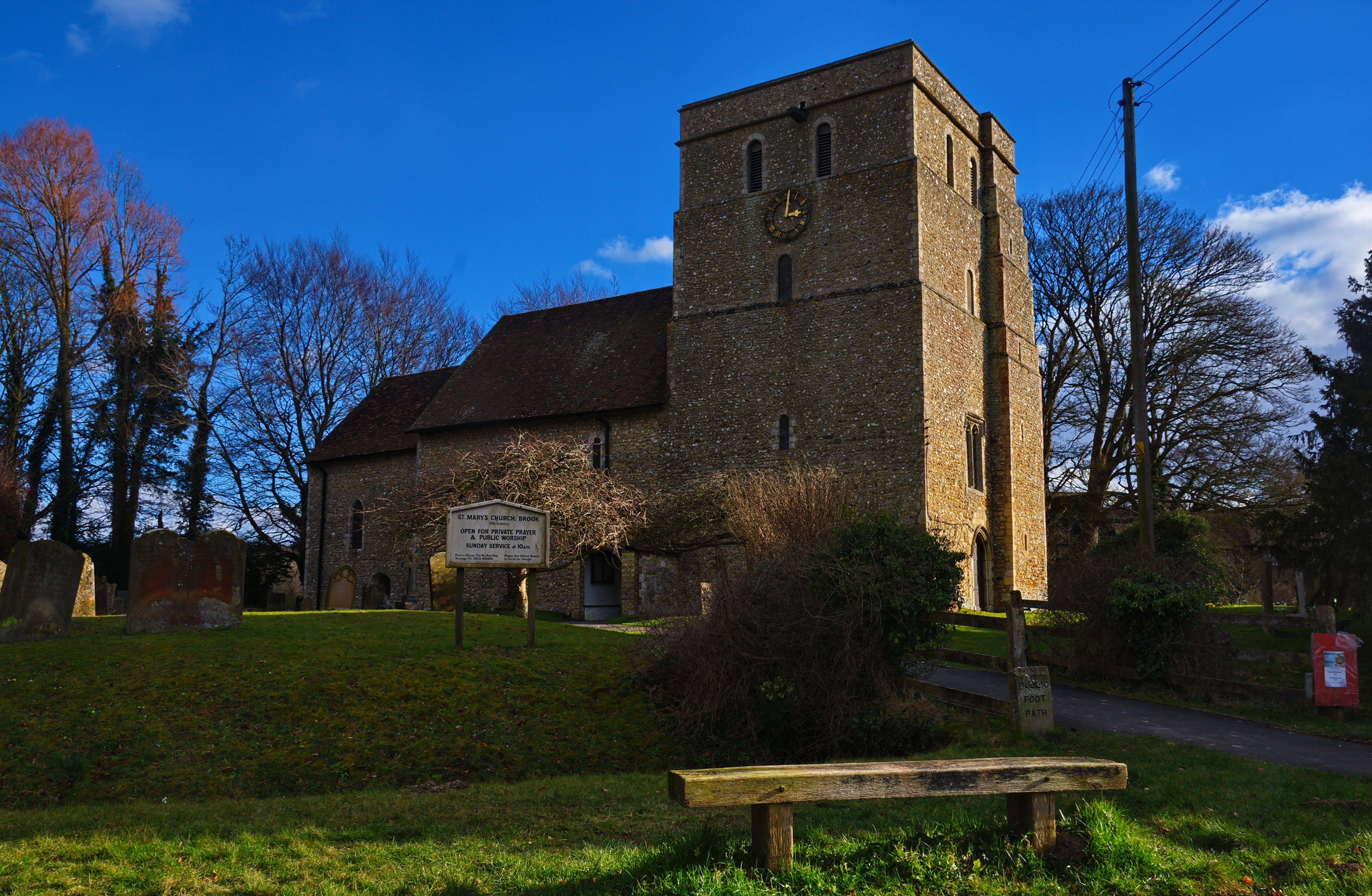
Richards Wood Images

Images are sourced within 2km of 51.173917/0.97534568 or Grid Reference TR0845. Thanks to Geograph Open Source API. All images are credited.

Mast near Wye
Mast near Wye
Narrow woodland lane
Stour Valley Walk across wheat field The Stour Valley Walk is a 58 mile (93km) route through the Low Weald and North Downs, giving you access to some the most attractive parts of East Kent. Rolling grassland, woods, marshes, peat bog, orchards and picturesque villages make this a memorable journey which can be completed over a long weekend or in shorter sections. The symbol of the Stour Valley Walk is the heron.
See <span class="nowrap"><a title="http://www.kent.gov.uk/leisure-and-culture/explore-kent/walking/stour-valley-walk.htm" rel="nofollow ugc noopener" href="http://www.kent.gov.uk/leisure-and-culture/explore-kent/walking/stour-valley-walk.htm">Link</a><img style="margin-left:2px;" alt="External link" title="External link - shift click to open in new window" src="https://s1.geograph.org.uk/img/external.png" width="10" height="10"/></span> for more details.
Stour Valley Walk across wheat field
The Stour Valley Walk is a 58 mile (93km) route through the Low Weald and North Downs, giving you access to some the most attractive parts of East Kent. Rolling grassland, woods, marshes, peat bog, orchards and picturesque villages make this a memorable journey which can be completed over a long weekend or in shorter sections. The symbol of the Stour Valley Walk is the heron. See LinkExternal link for more details.
Wheat in dry valley Dry valleys are relict landforms left over from the ice age. During the ice age, ice plugged all the pore spaces in the chalk rendering it impermeable. During the summer months meltwater would carve a valley and create the feature. After the ice age the chalk became permeable and porous and all surface water was lost leaving an obvious water carved valley, but now dry.
Wheat in dry valley
Dry valleys are relict landforms left over from the ice age. During the ice age, ice plugged all the pore spaces in the chalk rendering it impermeable. During the summer months meltwater would carve a valley and create the feature. After the ice age the chalk became permeable and porous and all surface water was lost leaving an obvious water carved valley, but now dry.
Stour Valley Walk
Stour Valley Walk
Ripening wheat Wheat is a grass grown as a cereal crop. It originates in the Middle East but is now grown worldwide. After rice it is the second most globally cultivated crop.
Wikipedia: <span class="nowrap"><a title="http://en.wikipedia.org/wiki/Wheat" rel="nofollow ugc noopener" href="http://en.wikipedia.org/wiki/Wheat">Link</a><img style="margin-left:2px;" alt="External link" title="External link - shift click to open in new window" src="https://s1.geograph.org.uk/img/external.png" width="10" height="10"/></span>
Ripening wheat
Wheat is a grass grown as a cereal crop. It originates in the Middle East but is now grown worldwide. After rice it is the second most globally cultivated crop. Wikipedia: LinkExternal link
Stour Valley Walk The Stour Valley Walk is a 58 mile (93km) route through the Low Weald and North Downs, giving you access to some the most attractive parts of East Kent. Rolling grassland, woods, marshes, peat bog, orchards and picturesque villages make this a memorable journey which can be completed over a long weekend or in shorter sections. The symbol of the Stour Valley Walk is the heron.
See <span class="nowrap"><a title="http://www.kent.gov.uk/leisure-and-culture/explore-kent/walking/stour-valley-walk.htm" rel="nofollow ugc noopener" href="http://www.kent.gov.uk/leisure-and-culture/explore-kent/walking/stour-valley-walk.htm">Link</a><img style="margin-left:2px;" alt="External link" title="External link - shift click to open in new window" src="https://s1.geograph.org.uk/img/external.png" width="10" height="10"/></span> for more details.
Stour Valley Walk
The Stour Valley Walk is a 58 mile (93km) route through the Low Weald and North Downs, giving you access to some the most attractive parts of East Kent. Rolling grassland, woods, marshes, peat bog, orchards and picturesque villages make this a memorable journey which can be completed over a long weekend or in shorter sections. The symbol of the Stour Valley Walk is the heron. See LinkExternal link for more details.
Beech Wood
Beech Wood
Stour Valley Walk The Stour Valley Walk is a 58 mile (93km) route through the Low Weald and North Downs, giving you access to some the most attractive parts of East Kent. Rolling grassland, woods, marshes, peat bog, orchards and picturesque villages make this a memorable journey which can be completed over a long weekend or in shorter sections. The symbol of the Stour Valley Walk is the heron.
See <span class="nowrap"><a title="http://www.kent.gov.uk/leisure-and-culture/explore-kent/walking/stour-valley-walk.htm" rel="nofollow ugc noopener" href="http://www.kent.gov.uk/leisure-and-culture/explore-kent/walking/stour-valley-walk.htm">Link</a><img style="margin-left:2px;" alt="External link" title="External link - shift click to open in new window" src="https://s1.geograph.org.uk/img/external.png" width="10" height="10"/></span> for more details.
Stour Valley Walk
The Stour Valley Walk is a 58 mile (93km) route through the Low Weald and North Downs, giving you access to some the most attractive parts of East Kent. Rolling grassland, woods, marshes, peat bog, orchards and picturesque villages make this a memorable journey which can be completed over a long weekend or in shorter sections. The symbol of the Stour Valley Walk is the heron. See LinkExternal link for more details.
Part of Marriage Wood A mainly Chestnut woodland located on the North Downs NE of Wye. The woodland has been extensively coppiced. It contains a Tumulus and the Stour Valley Walk passes through the woods.
Part of Marriage Wood
A mainly Chestnut woodland located on the North Downs NE of Wye. The woodland has been extensively coppiced. It contains a Tumulus and the Stour Valley Walk passes through the woods.
Ashenfield Farm
Ashenfield Farm
Road to Ashfield Farm
Arable field
Arable field
Woods Hill
Woods Hill
Woods Hill
Woods Hill
Field of Barley
Field of Barley
Footpath off Woods Hill
Show me another place!

Richards Wood is located at Grid Ref: TR0845 (Lat: 51.173917, Lng: 0.97534568)

Administrative County: Kent

District: Ashford

Police Authority: Kent

What 3 Words

///piano.panics.flagpole. Near Wye, Kent

Related Wikis

Wye and Crundale Downs

Wye and Crundale Downs is a 358.3-hectare (885-acre) biological and geological Site of Special Scientific Interest in a number of separate areas east of...

Shrub's Wood Long Barrow

Shrub's Wood Long Barrow is an unchambered long barrow located near to the village of Elmsted in the south-eastern English county of Kent. It was probably...

Hastingleigh

Hastingleigh is a small civil parish centred on an escarpment of the Kent Downs. The parish is three miles east of Wye and ten miles south of Canterbury...

Brook, Kent

Brook is a small village and civil parish in the borough of Ashford in Kent, England, centred 4.5 miles (7.2 km) east-northeast of the town of Ashford...

Nearby Amenities

Located within 500m of 51.173917,0.97534568
Barrier: kissing_gate
Bicycle: no
Foot: yes
Material: metal
Source: survey
Lat/Long: 51.1734568/0.9698274
Barrier: stile
Lat/Long: 51.1734574/0.9812631
Barrier: stile
Lat/Long: 51.1718769/0.9711606
Barrier: stile
Lat/Long: 51.1737758/0.9805199
Wye Downs
Place: locality
Source: OS7
Lat/Long: 51.1733605/0.970905
Tumulus
Historic: archaeological_site
Source: OS7; survey
Lat/Long: 51.1723179/0.9699894
Board Type: nature
Information: board
Lat/Long: 51.1729652/0.9699101
Description: Metal model of hill contours
Tourism: artwork
Lat/Long: 51.1716247/0.9704184
Board Type: nature
Information: board
Lat/Long: 51.1717812/0.9704264
Board Type: map
Information: board
Lat/Long: 51.1717332/0.9704634
Barrier: kissing_gate
Lat/Long: 51.1730071/0.9698472
Bicycle Parking
Bicycle Parking: stands
Capacity: 2
Covered: no
Lat/Long: 51.171899/0.9703502
Events Venue
Crown Lodge Event & Wedding Venue
Addr Postcode: TN25 5HE
Alt Name: The Devil’s Kneading Trough Restaurant
Phone: +441233813212
Source: visual_estimate
Website: https://www.crownlodge-kent.co.uk/
Lat/Long: 51.1711994/0.9719985
Barrier: kissing_gate
Bicycle: no
Foot: yes
Material: metal
Source: survey
Lat/Long: 51.1735255/0.9699025
Power: pole
Lat/Long: 51.177489/0.9774228
Power: pole
Lat/Long: 51.1761369/0.9785029
Power: pole
Lat/Long: 51.1755645/0.9789282
Power: pole
Lat/Long: 51.1748482/0.9793267
Barrier: stile
Lat/Long: 51.1737758/0.9805199
The data included in this document is from www.openstreetmap.org. The data is made available under ODbL.

Have you been to Richards Wood?

Leave your review of Richards Wood below (or comments, questions and feedback).