Hook's Wood
Wood, Forest in Kent Ashford
England
Hook's Wood

Hook's Wood is a picturesque woodland located in the county of Kent, England. Situated just outside the village of Hook Green, the wood covers an area of approximately 50 acres, making it a perfect destination for nature enthusiasts and those seeking tranquility amidst the natural beauty of the countryside.
The woodland is predominantly composed of oak and beech trees, which create a dense canopy overhead, providing shade and shelter for a wide variety of flora and fauna. The forest floor is adorned with an assortment of wildflowers, ferns, and mosses, adding to the charm and diversity of the woodland.
The wood is crisscrossed by a network of well-maintained footpaths, allowing visitors to explore its enchanting surroundings at their own pace. These paths lead to scenic spots, such as a small pond teeming with aquatic life and a clearing that offers breathtaking views of the surrounding countryside.
Hook's Wood is also home to a rich diversity of wildlife. Birdwatchers can spot species such as woodpeckers, owls, and various songbirds, while avid nature enthusiasts may come across small mammals like squirrels, rabbits, and even deer. The wood is a haven for biodiversity, and visitors may also encounter a range of insects, butterflies, and other invertebrates.
Managed by a local conservation trust, Hook's Wood is committed to preserving its natural beauty and protecting its wildlife. As a result, it provides a unique opportunity for visitors to experience the tranquility and serenity of a traditional English woodland.
If you have any feedback on the listing, please let us know in the comments section below.
Hook's Wood Images
Images are sourced within 2km of 51.170178/0.97878183 or Grid Reference TR0845. Thanks to Geograph Open Source API. All images are credited.


Hook's Wood is located at Grid Ref: TR0845 (Lat: 51.170178, Lng: 0.97878183)
Administrative County: Kent
District: Ashford
Police Authority: Kent
What 3 Words
///stems.motivates.imported. Near Wye, Kent
Nearby Locations
Related Wikis

Wye and Crundale Downs
Wye and Crundale Downs is a 358.3-hectare (885-acre) biological and geological Site of Special Scientific Interest in a number of separate areas east of...

Hastingleigh
Hastingleigh is a small civil parish centred on an escarpment of the Kent Downs. The parish is three miles east of Wye and ten miles south of Canterbury...

Shrub's Wood Long Barrow
Shrub's Wood Long Barrow is an unchambered long barrow located near to the village of Elmsted in the south-eastern English county of Kent. It was probably...
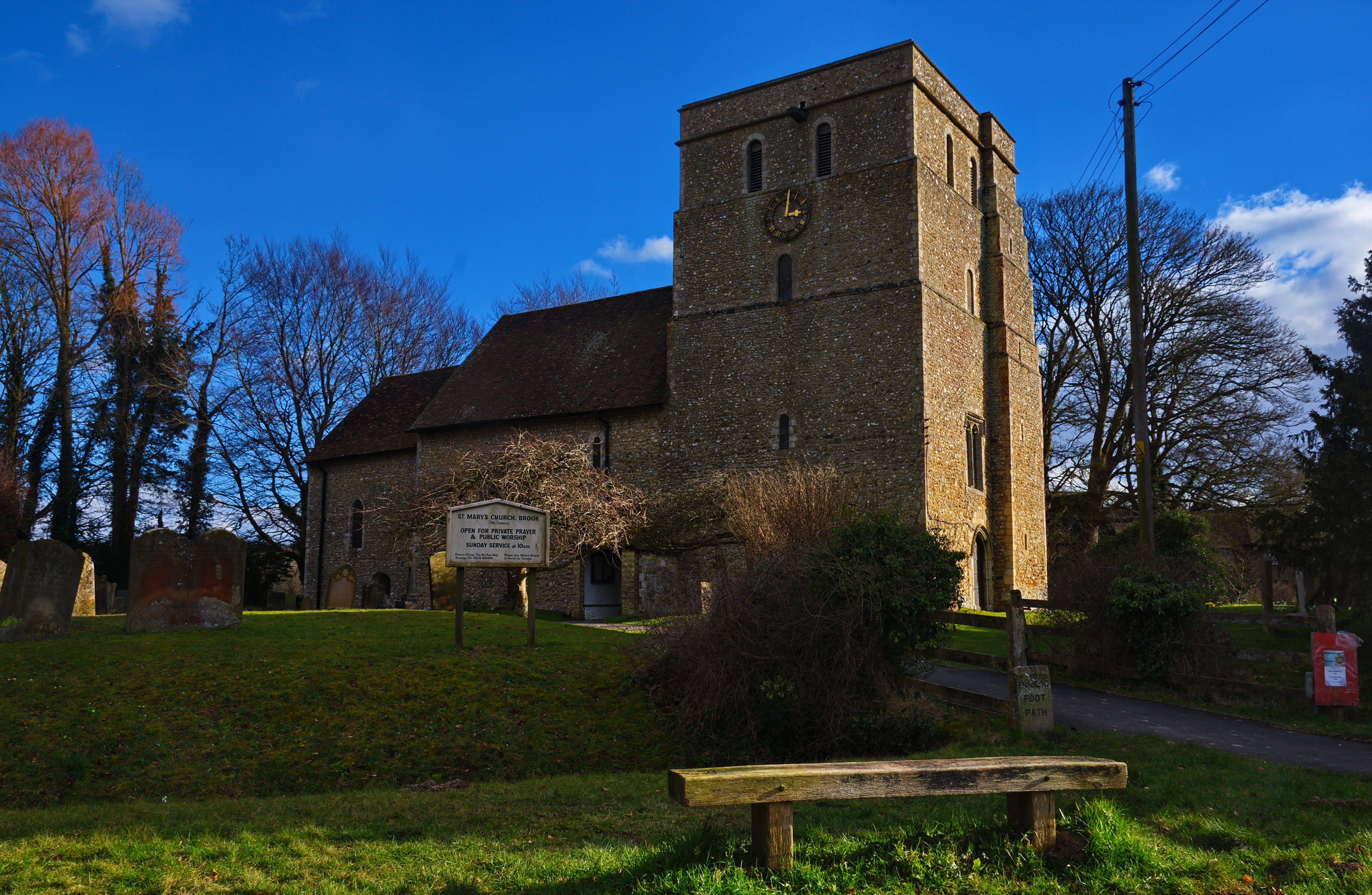
Brook, Kent
Brook is a small village and civil parish in the borough of Ashford in Kent, England, centred 4.5 miles (7.2 km) east-northeast of the town of Ashford...

Park Gate Down
Park Gate Down or Parkgate Down is a 7-hectare (17-acre) biological Site of Special Scientific Interest south-east of Stelling Minnis in Kent. It is also...

Wye with Hinxhill
Wye with Hinxhill is a hillside civil parish in the borough of Ashford northeast of Ashford, Kent itself, centred 3.7 miles (6.0 km) NNE of the town centre...
Wye School
Wye School is a British, mixed, secondary, free school in Wye, Kent. As of 2022, it is operated by United Learning. == History == Wye School opened in...
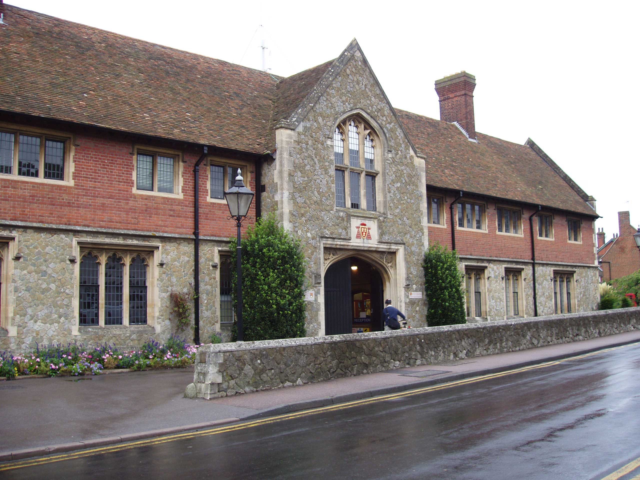
Wye College
The College of St Gregory and St Martin at Wye, commonly known as Wye College, was an education and research institution in the village of Wye, Kent. In...
Nearby Amenities
Located within 500m of 51.170178,0.97878183Have you been to Hook's Wood?
Leave your review of Hook's Wood below (or comments, questions and feedback).