Bath Plantation
Wood, Forest in Norfolk South Norfolk
England
Bath Plantation

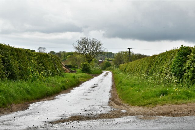
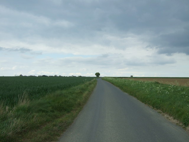
Bath Plantation, located in Norfolk, England, is a captivating woodland that showcases the natural beauty of the region. This enchanting forest is nestled in the heart of the Norfolk countryside, offering a serene and peaceful escape from the hustle and bustle of city life.
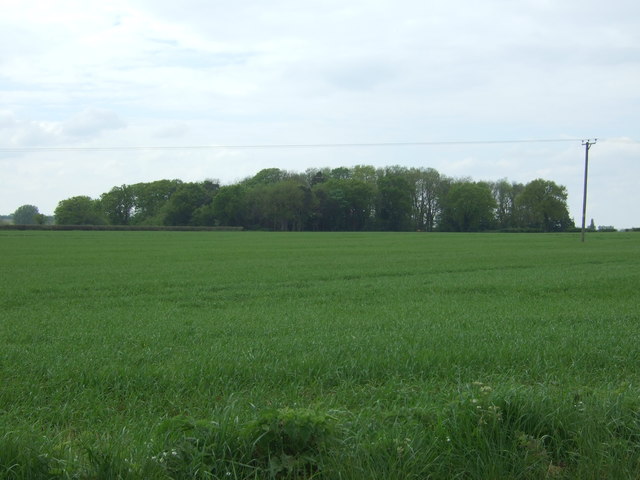
Covering an extensive area, Bath Plantation is a mix of deciduous and evergreen trees, creating a diverse and vibrant ecosystem. The woodland boasts a rich variety of flora and fauna, providing a haven for numerous species of birds, insects, and small mammals. The towering oak and beech trees dominate the landscape, their branches intertwining to form a dense canopy that filters the sunlight, creating a soothing ambiance.
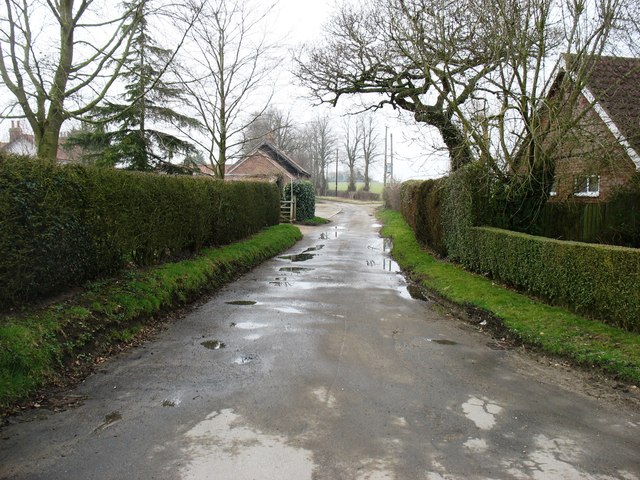
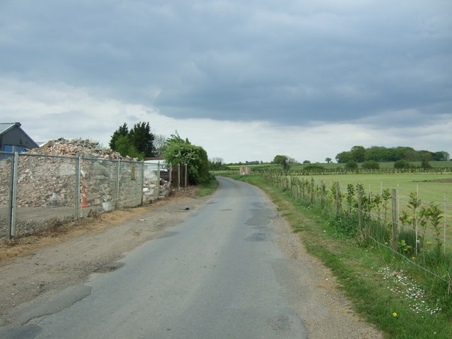
Walking through Bath Plantation, visitors are greeted by a network of well-maintained paths, allowing for exploration and discovery. The tranquility of the woodland is enhanced by the gentle sounds of birdsong and rustling leaves, providing a therapeutic and peaceful environment for nature enthusiasts and walkers alike.
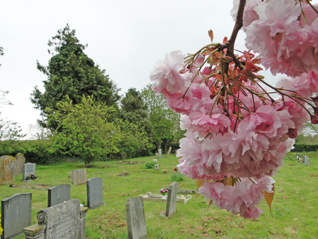
The plantation is also home to a wide range of wildflowers, including bluebells, primroses, and foxgloves, which burst into a riot of color during the spring months. This spectacle attracts nature lovers and photographers who come to capture the beauty of the woodland in full bloom.
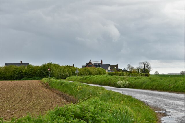
Bath Plantation is a popular destination for outdoor activities such as hiking, birdwatching, and picnicking. The well-preserved natural environment offers a unique opportunity to reconnect with nature and unwind in a picturesque setting.
Overall, Bath Plantation is a captivating woodland that showcases the natural charm of Norfolk. With its diverse ecosystem and tranquil atmosphere, it is a haven for both wildlife and visitors seeking solace in nature.
If you have any feedback on the listing, please let us know in the comments section below.
Bath Plantation Images
Images are sourced within 2km of 52.564381/1.0724683 or Grid Reference TG0800. Thanks to Geograph Open Source API. All images are credited.


Bath Plantation is located at Grid Ref: TG0800 (Lat: 52.564381, Lng: 1.0724683)
Administrative County: Norfolk
District: South Norfolk
Police Authority: Norfolk
What 3 Words
///daring.organisms.hypocrite. Near Hingham, Norfolk
Nearby Locations
Related Wikis

Morley, Norfolk
Morley is a civil parish in the South Norfolk district, in the county of Norfolk, England. It includes the villages of Morley St Botolph and Morley St...
Morley Saint Botolph
Morley Saint Botolph is a village and former civil parish, now in the parish of Morley, in the South Norfolk district, in the county of Norfolk, England...

Wicklewood
Wicklewood is a village and civil parish in the South Norfolk district of Norfolk, England. It is located 11 miles (18 km) west of Norwich next to the...
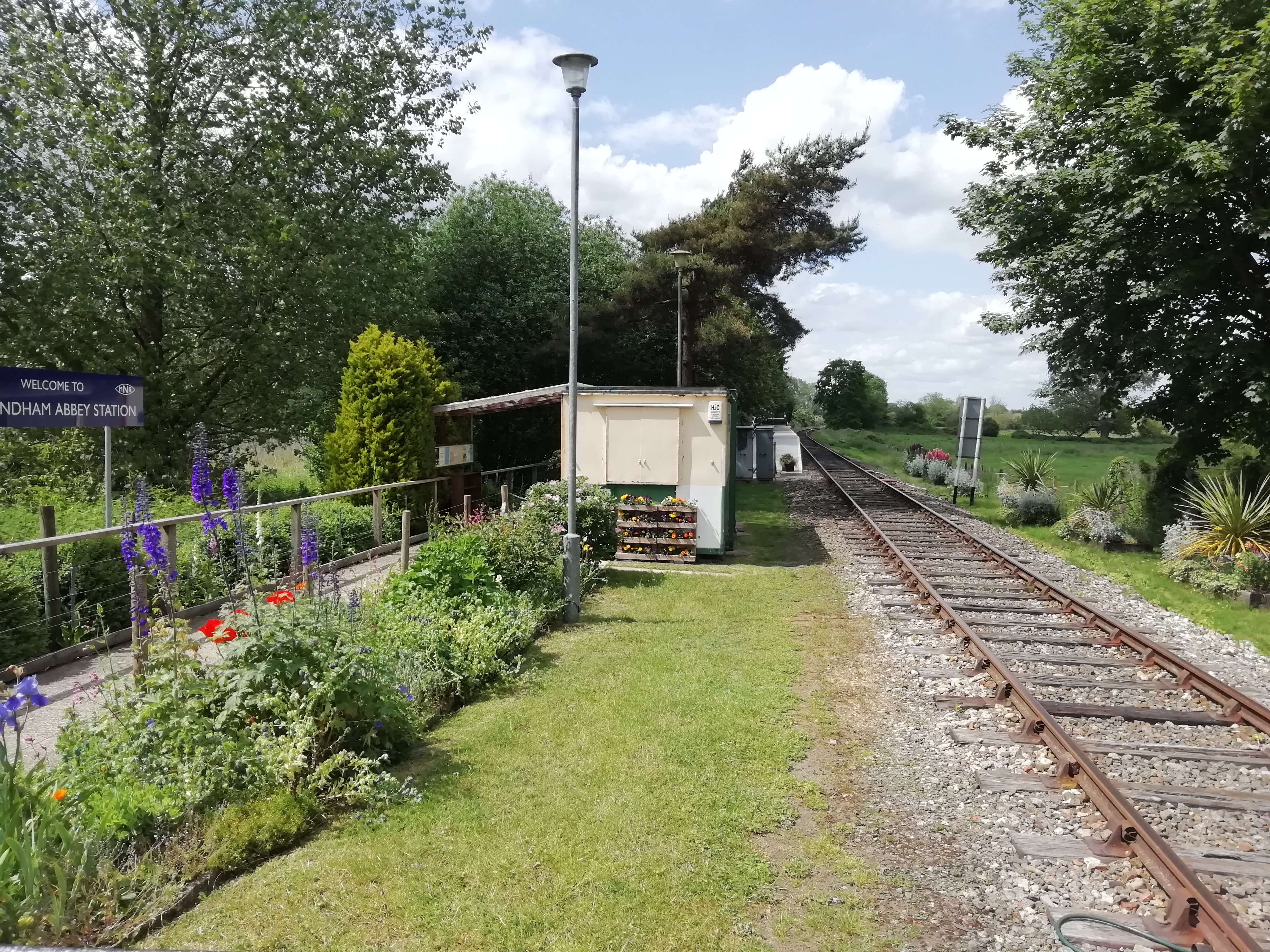
Wymondham Abbey railway station
Wymondham Abbey railway station is a railway station in the town of Wymondham in the English county of Norfolk. The station is served by heritage services...

Wicklewood Roman Temple
Wicklewood Roman Temple is the site of a Romano-Celtic temple near Wicklewood and about 1.5 miles (2.4 km) north-west of Wymondham, in Norfolk, England...

Wymondham College
Wymondham College is a coeducational day and boarding school in Morley, near Wymondham, Norfolk, England with academy status. A former grammar school,...

Wymondham Abbey
Wymondham Abbey (pronounced Windum) is the Anglican parish church for the town of Wymondham in Norfolk, England. == History == The monastery was founded...
Wymondham Junction railway station
Wymondham Junction railway station is a proposed railway station on the preserved heritage Mid-Norfolk Railway in the English county of Norfolk. The...
Nearby Amenities
Located within 500m of 52.564381,1.0724683Have you been to Bath Plantation?
Leave your review of Bath Plantation below (or comments, questions and feedback).