East Side
Settlement in Glamorgan
Wales
East Side
East Side is a small town nestled in the county of Glamorgan, Wales. Situated on the eastern side of the county, it is surrounded by picturesque landscapes and offers a charming and tranquil atmosphere. With a population of around 2,500 residents, East Side retains a close-knit community feel.
The town is known for its rich history, dating back to the medieval period when it was a prominent market town. Today, remnants of its past can be seen in the form of historic buildings and landmarks, including the 13th-century St. Mary's Church. The town's architecture is a blend of traditional Welsh designs and more modern structures, creating a unique aesthetic.
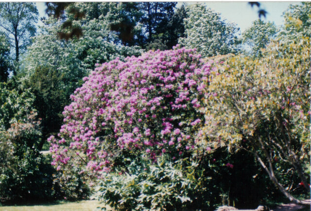
Nature enthusiasts will find themselves immersed in East Side's natural beauty, as the town is encompassed by rolling hills and lush green valleys. The nearby Glamorgan Heritage Coastline provides breathtaking views and opportunities for outdoor activities such as hiking, cycling, and birdwatching.
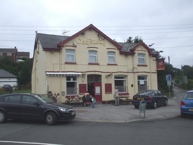
East Side offers a range of amenities to cater to the needs of its residents and visitors. The town center features a variety of shops, cafes, and small businesses, providing a convenient and vibrant hub for locals. Additionally, the town boasts several schools, healthcare facilities, and recreational spaces, ensuring a well-rounded community experience.
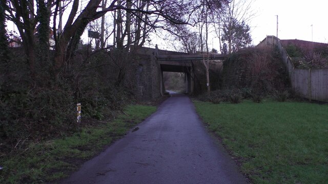
Transportation in East Side is easily accessible, with regular bus services connecting the town to nearby cities and towns. The main road network allows for convenient travel by car, while the nearest train station is located a short distance away, providing further connectivity to the rest of Glamorgan and beyond.
Overall, East Side exudes a peaceful and welcoming ambiance, making it an ideal destination for those seeking a serene retreat in the heart of Glamorgan.
If you have any feedback on the listing, please let us know in the comments section below.
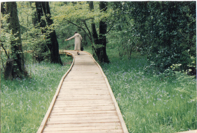
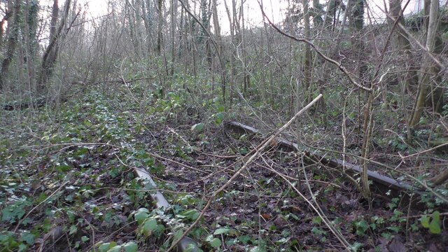
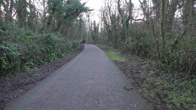
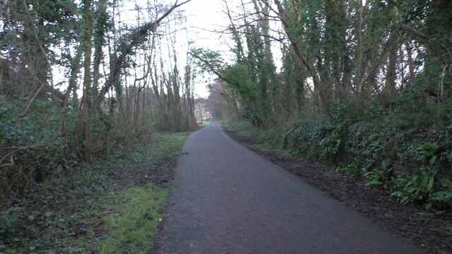
East Side Images
Images are sourced within 2km of 51.566333/-3.584974 or Grid Reference SS9086. Thanks to Geograph Open Source API. All images are credited.
East Side is located at Grid Ref: SS9086 (Lat: 51.566333, Lng: -3.584974)
Unitary Authority: Bridgend
Police Authority: South Wales
What 3 Words
///yacht.dribble.chipper. Near Betws, Bridgend
Nearby Locations
Related Wikis
Bettws, Bridgend
Bettws , (Welsh: Betws) is a small ex-mining and farming village in the South Wales Valleys in the county borough of Bridgend, Wales. Bettws is also an...

St David's Church, Bettws
St David's Church is a Grade I listed church in Bettws, Bridgend County Borough, southern Wales. The church is believed to date to the 12th century, though...

Ogmore (Senedd constituency)
Ogmore (Welsh: Ogwr) is a constituency of the Senedd. It elects one Member of the Senedd by the first past the post method of election. It is one of seven...

Llangeinor
Llangeinor (Welsh: Llangeinwyr) is a small village (and community council electoral ward) located in the Garw Valley around 5 miles (8 km) north of Bridgend...
Ogmore (UK Parliament constituency)
Ogmore (Welsh: Ogwr) is a constituency created in 1918 represented in the House of Commons of the UK Parliament by Chris Elmore of the Labour Party.The...

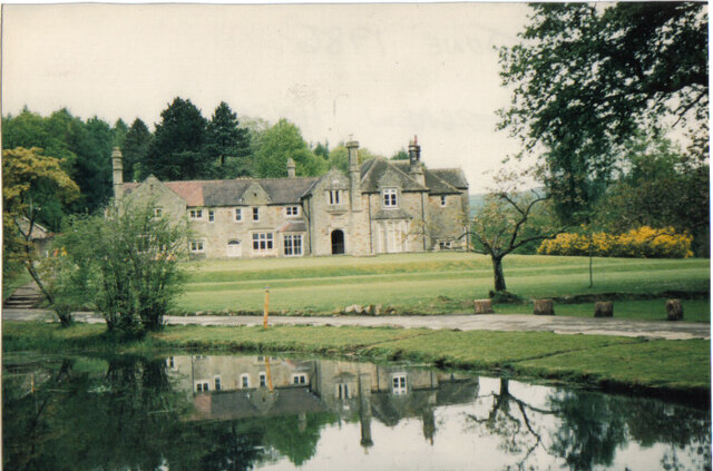
Bryngarw Country Park
Bryngarw Country Park is made up of 48 hectares (120 acres) and is situated on the west bank of the Afon Garw, at the mouth of the Garw Valley in the Bridgend...

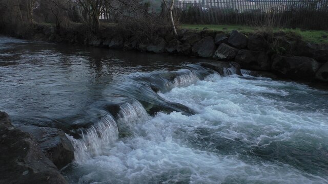
River Garw
The River Garw (Afon Garw in Welsh, meaning "rugged river") runs for about 12 miles from its source in the hills north of Blaengarw to the confluence with...

Llangeinor railway station
Llangeinor railway station served the village of Llangeinor, in the historical county of Glamorgan, Wales, from 1886 to 1953 on the Garw Valley Railway...
Related Videos

South Wales Days out - Parc Slip Nature Reserve Bridgend from above!
Parc Slip Nature Reserve, located in Bridgend, Wales, is a haven for wildlife enthusiasts and nature lovers. Let me share some ...

Social Distance Gathering
When you live on your own during coronavirus outbreak and can't be within 2 metres of anyone else on the planet and you want a ...

Wreath-Making | Tanio TV
Alys takes us through a step-by-step guide on how to create your very own wreath at home! Dyma Alys yn dangos i ni sut i greu ...

Nearby Amenities
Located within 500m of 51.566333,-3.584974Have you been to East Side?
Leave your review of East Side below (or comments, questions and feedback).