Cwm-y-pandy
Valley in Glamorgan
Wales
Cwm-y-pandy
Cwm-y-pandy is a small village located in the county of Glamorgan, within the picturesque Valleys region of South Wales. Situated in the heart of the Rhondda Fawr Valley, the village is surrounded by rolling hills and lush green landscapes, offering stunning views to its residents and visitors.
The village is home to a close-knit community, with a population of around 800 people. It boasts a rich history, closely tied to the mining industry of the area. In the 19th and early 20th centuries, Cwm-y-pandy thrived as a coal mining village, with several collieries operating in the vicinity. However, like many other mining communities, the industry declined in the latter part of the 20th century, leading to economic challenges for the village.
Despite this, Cwm-y-pandy has managed to retain its unique charm and character. The village is dotted with traditional stone cottages and terraced houses, providing a glimpse into its industrial past. The local community is known for its resilience and strong sense of community spirit, with various initiatives and events organized throughout the year to bring people together.
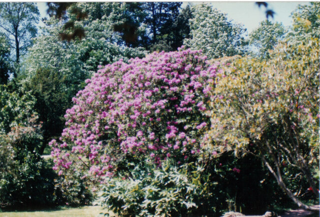
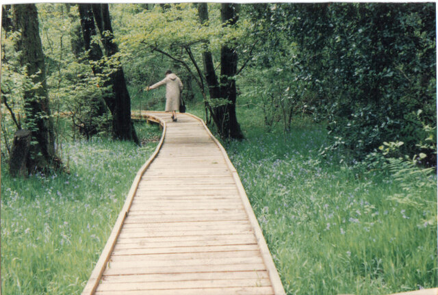
The surrounding natural beauty of Cwm-y-pandy makes it an attractive destination for outdoor enthusiasts. The nearby Rhondda Heritage Park offers opportunities for hiking and exploring the area's mining history. Additionally, the village is conveniently located within easy reach of larger towns and cities, such as Pontypridd and Cardiff, providing residents with access to a range of amenities and employment opportunities.
In summary, Cwm-y-pandy is a charming village nestled in the Rhondda Fawr Valley, with a rich history and a strong community spirit. Its beautiful surroundings and proximity to larger towns make it an ideal place to live for those seeking a peaceful and picturesque setting.
If you have any feedback on the listing, please let us know in the comments section below.
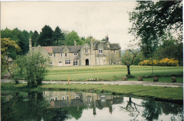
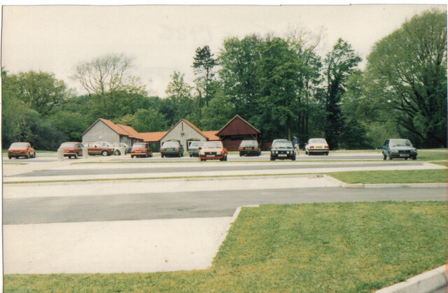
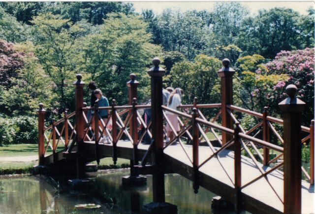
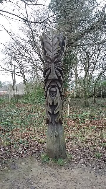
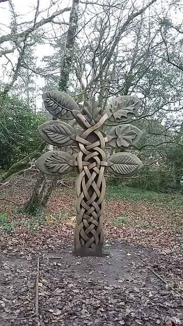
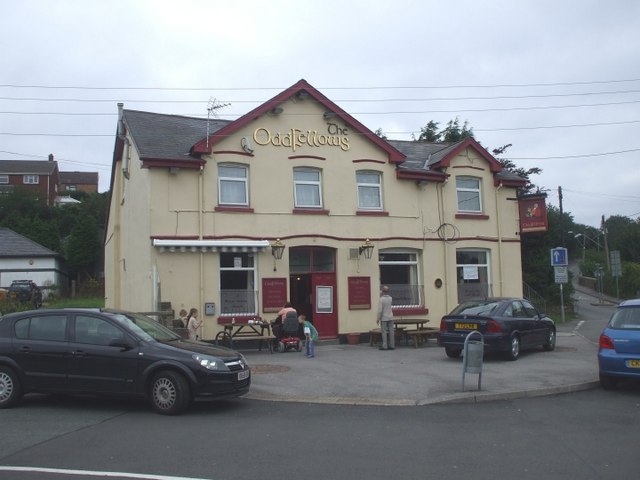
Cwm-y-pandy Images
Images are sourced within 2km of 51.569384/-3.5814728 or Grid Reference SS9086. Thanks to Geograph Open Source API. All images are credited.
Cwm-y-pandy is located at Grid Ref: SS9086 (Lat: 51.569384, Lng: -3.5814728)
Unitary Authority: Bridgend
Police Authority: South Wales
What 3 Words
///officer.scrubbing.flannel. Near Betws, Bridgend
Nearby Locations
Related Wikis
Bettws, Bridgend
Bettws , (Welsh: Betws) is a small ex-mining and farming village in the South Wales Valleys in the county borough of Bridgend, Wales. Bettws is also an...

St David's Church, Bettws
St David's Church is a Grade I listed church in Bettws, Bridgend County Borough, southern Wales. The church is believed to date to the 12th century, though...

Ogmore (Senedd constituency)
Ogmore (Welsh: Ogwr) is a constituency of the Senedd. It elects one Member of the Senedd by the first past the post method of election. It is one of seven...

Llangeinor
Llangeinor (Welsh: Llangeinwyr) is a small village (and community council electoral ward) located in the Garw Valley around 5 miles (8 km) north of Bridgend...
Ogmore (UK Parliament constituency)
Ogmore (Welsh: Ogwr) is a constituency created in 1918 represented in the House of Commons of the UK Parliament by Chris Elmore of the Labour Party.The...

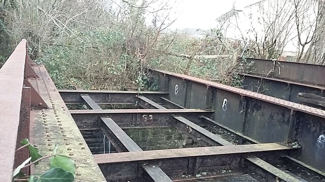
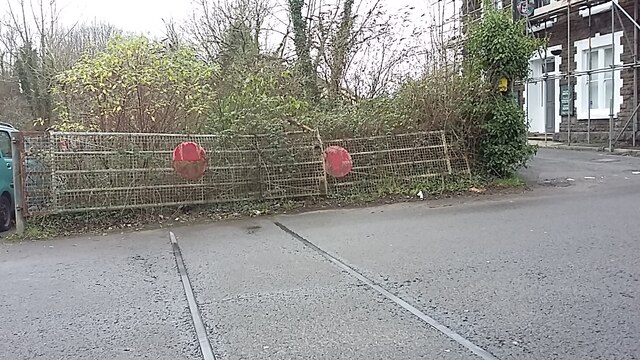
Llangeinor railway station
Llangeinor railway station served the village of Llangeinor, in the historical county of Glamorgan, Wales, from 1886 to 1953 on the Garw Valley Railway...

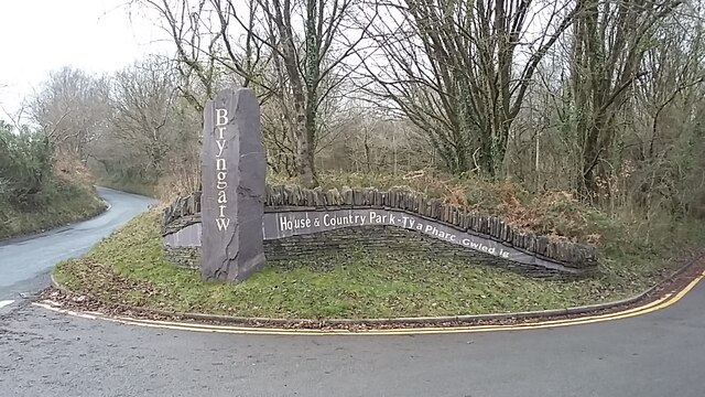
Bryngarw Country Park
Bryngarw Country Park is made up of 48 hectares (120 acres) and is situated on the west bank of the Afon Garw, at the mouth of the Garw Valley in the Bridgend...

River Garw
The River Garw (Afon Garw in Welsh, meaning "rugged river") runs for about 12 miles from its source in the hills north of Blaengarw to the confluence with...
Nearby Amenities
Located within 500m of 51.569384,-3.5814728Have you been to Cwm-y-pandy?
Leave your review of Cwm-y-pandy below (or comments, questions and feedback).