West View

Settlement in Glamorgan

Wales

West View

Ordnance Survey Cut Mark This OS cut mark can be found on the rock outcrop NW side of the cycle track. It marks a point 59.116m above mean sea level.
Ordnance Survey Cut Mark Credit: Adrian Dust

West View is a small village located in the county of Glamorgan, Wales. Situated in the southern part of the country, it is nestled between the towns of Bridgend to the east and Swansea to the west. With a population of around 1,500 residents, West View is known for its picturesque countryside and tranquil atmosphere.

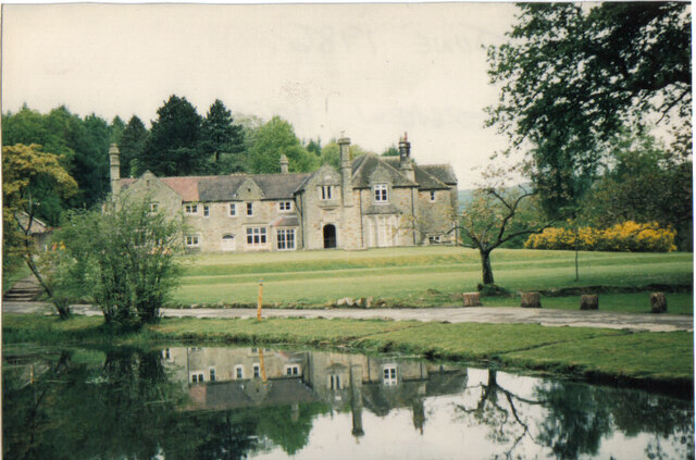
The village is characterized by its traditional Welsh architecture, with charming stone cottages and narrow winding streets. The surrounding landscape is dominated by rolling hills and lush green fields, providing a scenic backdrop for the village. West View is also blessed with a thriving community spirit, with various local events and festivals held throughout the year.

Basic amenities can be found within the village, including a small grocery store, a post office, and a primary school. For more extensive shopping and entertainment options, residents can easily access the nearby towns. The village is well-connected by road, with the A48 running to the south, providing convenient access to the larger cities and towns in the region.

West View is a popular destination for outdoor enthusiasts, as it offers numerous opportunities for hiking, cycling, and exploring the surrounding countryside. The nearby coastline is also easily accessible, allowing residents to enjoy the sandy beaches and coastal walks. The village is proud of its rich history, with several historic landmarks and archaeological sites located in the vicinity.

Overall, West View is a peaceful and picturesque village, offering a close-knit community and an idyllic setting for those seeking a tranquil lifestyle in the heart of the Welsh countryside.

If you have any feedback on the listing, please let us know in the comments section below.
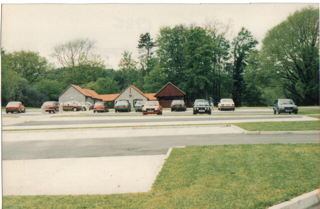
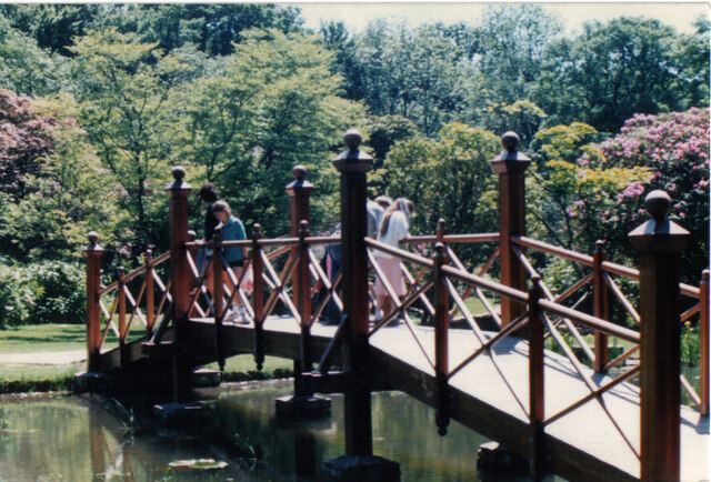
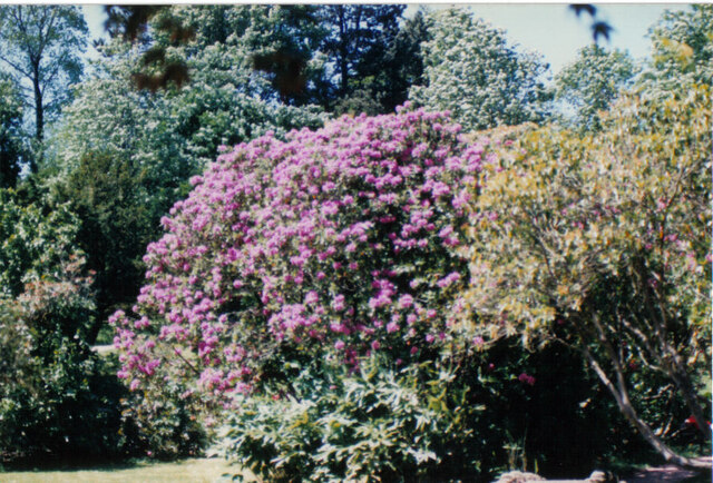
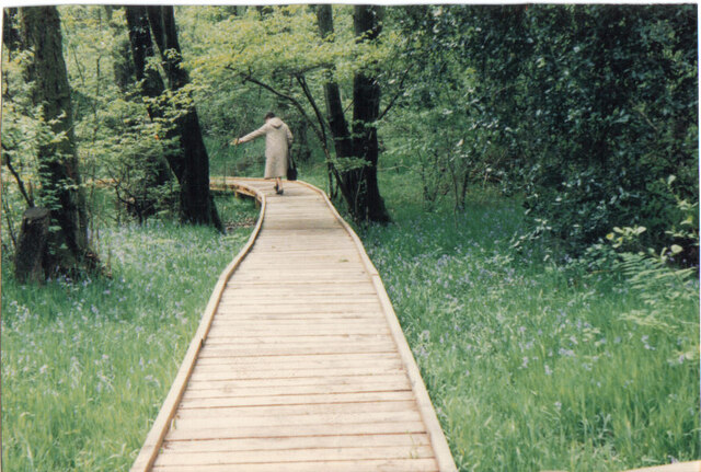
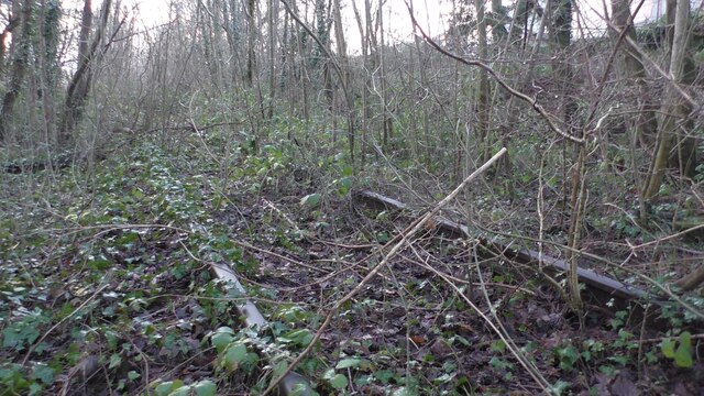
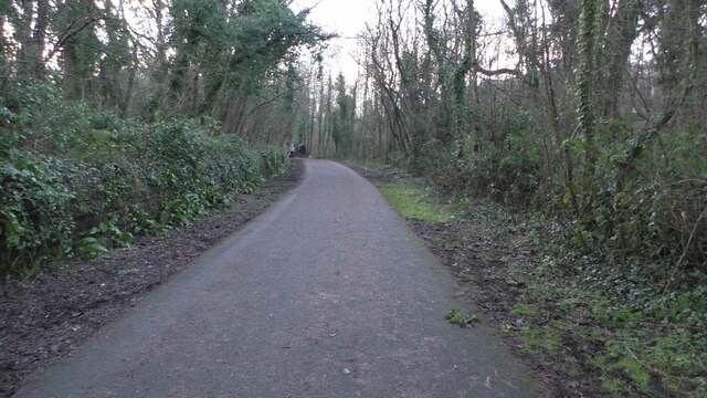
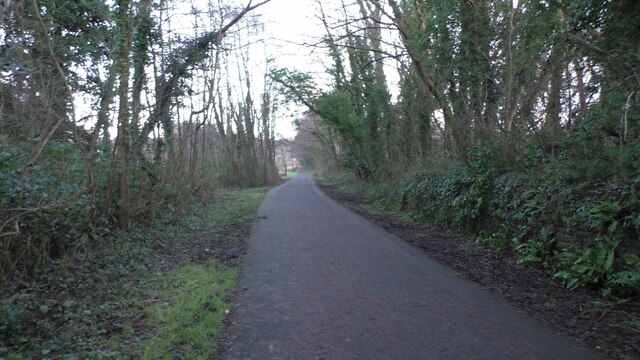
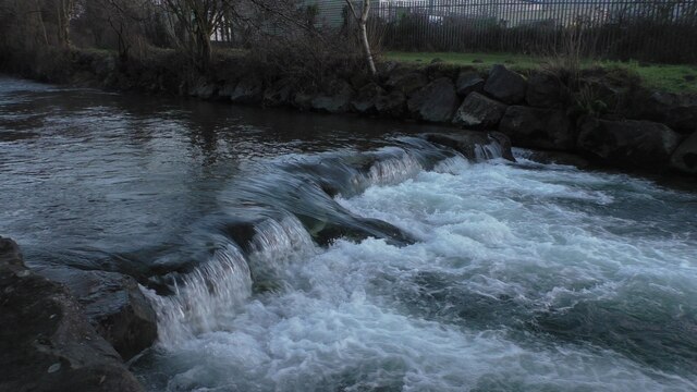
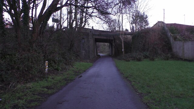
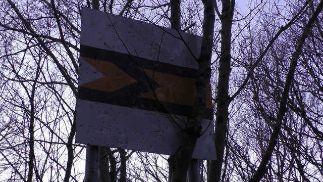
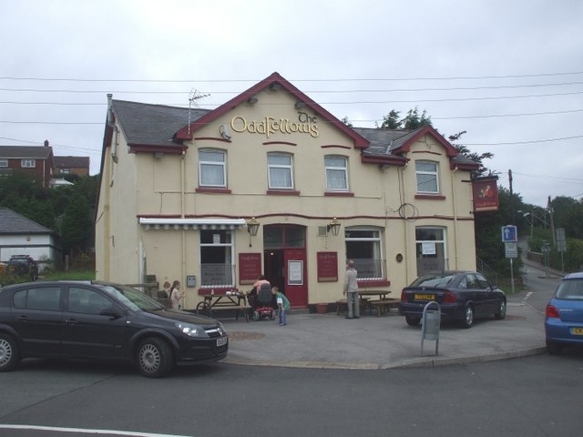
West View Images

Images are sourced within 2km of 51.56727/-3.587546 or Grid Reference SS9086. Thanks to Geograph Open Source API. All images are credited.

Ordnance Survey Cut Mark This OS cut mark can be found on the rock outcrop NW side of the cycle track. It marks a point 59.116m above mean sea level.
Ordnance Survey Cut Mark
This OS cut mark can be found on the rock outcrop NW side of the cycle track. It marks a point 59.116m above mean sea level.
Ordnance Survey Cut Mark This OS cut mark can be found on the NE parapet of Abergarw Bridge. It marks a point 56.912m above mean sea level.
Ordnance Survey Cut Mark
This OS cut mark can be found on the NE parapet of Abergarw Bridge. It marks a point 56.912m above mean sea level.
Ordnance Survey Cut Mark This OS cut mark can be found on the wall NW side of the Abergarw Road. It marks a point 59.381m above mean sea level.
Ordnance Survey Cut Mark
This OS cut mark can be found on the wall NW side of the Abergarw Road. It marks a point 59.381m above mean sea level.
Ordnance Survey Cut Mark This OS cut mark can be found on the wall east side of the road. It marks a point 61.500m above mean sea level.
Ordnance Survey Cut Mark
This OS cut mark can be found on the wall east side of the road. It marks a point 61.500m above mean sea level.
Ordnance Survey Cut Mark This OS cut mark can be found on the Council Offices on Abergarw Road. It marks a point 52.130m above mean sea level.
Ordnance Survey Cut Mark
This OS cut mark can be found on the Council Offices on Abergarw Road. It marks a point 52.130m above mean sea level.
Ordnance Survey Rivet This OS rivet can be found on the east face of the Fox & Hounds. It marks a point 51.999m above mean sea level.
Ordnance Survey Rivet
This OS rivet can be found on the east face of the Fox & Hounds. It marks a point 51.999m above mean sea level.
Ordnance Survey Cut Mark This OS cut mark can be found on the wall of No168 Bryn Road. It marks a point 58.878m above mean sea level.
Ordnance Survey Cut Mark
This OS cut mark can be found on the wall of No168 Bryn Road. It marks a point 58.878m above mean sea level.
Bryngarw House Bryngarw Park; the house was opened to the public just a few weeks before I took these pics.
Bryngarw House
Bryngarw Park; the house was opened to the public just a few weeks before I took these pics.
Bryngarw View across the car park, the cafe and gift shop, Bryngarw park
Bryngarw
View across the car park, the cafe and gift shop, Bryngarw park
Bryngarw Bryngarw, the Japanese garden, with bridge across the pond
Bryngarw
Bryngarw, the Japanese garden, with bridge across the pond
Bryngarw Bryngarw, the Japanese garden, pink blossom trees
Bryngarw
Bryngarw, the Japanese garden, pink blossom trees
Bryngarw Bryngarw, the boarded footpath across the wetland area, at rear of the estate
Bryngarw
Bryngarw, the boarded footpath across the wetland area, at rear of the estate
Brynmenyn Brynmenyn, near the old railway station, the now disused railway which ran from Tondu to the Garw Valley Ogmore Valley also Gilfach Heol y Cyw Brynna
Brynmenyn
Brynmenyn, near the old railway station, the now disused railway which ran from Tondu to the Garw Valley Ogmore Valley also Gilfach Heol y Cyw Brynna
Brynmenyn Brynmenyn, cycletrack, this was formerly Brynmenyn railway station, with view direction towards Tondu, the stone walls are still visible where the platforms were, just behind the bushes to the right, was the platform which led trains up down the Garw Valley
Brynmenyn
Brynmenyn, cycletrack, this was formerly Brynmenyn railway station, with view direction towards Tondu, the stone walls are still visible where the platforms were, just behind the bushes to the right, was the platform which led trains up down the Garw Valley
Brynmenyn Brynmenyn, now a cycletrack, this was formerly Brynmenyn railway station, the stone walls are still visible where the platform was, which would have taken trains the direction view towards the Ogmore Valley, Gilfach Valley, Heol y Cyw and Brynna
Brynmenyn
Brynmenyn, now a cycletrack, this was formerly Brynmenyn railway station, the stone walls are still visible where the platform was, which would have taken trains the direction view towards the Ogmore Valley, Gilfach Valley, Heol y Cyw and Brynna
Brynmenyn Brynmenyn, the weir river Ogmore, just off the cycletrack by the former Brynmenyn railway station
Brynmenyn
Brynmenyn, the weir river Ogmore, just off the cycletrack by the former Brynmenyn railway station
Brynmenyn Abergarw Brynmenyn Abergarw, the former railway which went to Ogmore and Gilfach Valleys, now a cycletrack, the bridge is the road between Brynmenyn and Bryncethin at Abergarw
Brynmenyn Abergarw
Brynmenyn Abergarw, the former railway which went to Ogmore and Gilfach Valleys, now a cycletrack, the bridge is the road between Brynmenyn and Bryncethin at Abergarw
Brynmenyn Brynmenyn, old disused railway footpath crossing, on the now disused railway just few yards from the now derelict Brynmenyn railway station
Brynmenyn
Brynmenyn, old disused railway footpath crossing, on the now disused railway just few yards from the now derelict Brynmenyn railway station
Show me another place!

West View is located at Grid Ref: SS9086 (Lat: 51.56727, Lng: -3.587546)

Unitary Authority: Bridgend

Police Authority: South Wales

What 3 Words

///rival.agreed.purifier. Near Betws, Bridgend

Related Wikis

St David's Church, Bettws

St David's Church is a Grade I listed church in Bettws, Bridgend County Borough, southern Wales. The church is believed to date to the 12th century, though...

Bettws, Bridgend

Bettws , (Welsh: Betws) is a small ex-mining and farming village in the South Wales Valleys in the county borough of Bridgend, Wales. Bettws is also an...

Ogmore (Senedd constituency)

Ogmore (Welsh: Ogwr) is a constituency of the Senedd. It elects one Member of the Senedd by the first past the post method of election. It is one of seven...

Llangeinor

Llangeinor (Welsh: Llangeinwyr) is a small village (and community council electoral ward) located in the Garw Valley around 5 miles (8 km) north of Bridgend...

Ogmore (UK Parliament constituency)

Ogmore (Welsh: Ogwr) is a constituency created in 1918 represented in the House of Commons of the UK Parliament by Chris Elmore of the Labour Party.The...

Bryngarw Country Park

Bryngarw Country Park is made up of 48 hectares (120 acres) and is situated on the west bank of the Afon Garw, at the mouth of the Garw Valley in the Bridgend...

Llangeinor railway station

Llangeinor railway station served the village of Llangeinor, in the historical county of Glamorgan, Wales, from 1886 to 1953 on the Garw Valley Railway...

Llynfi power station

Llynfi power station supplied electricity to the Bridgend area of Glamorgan South Wales from 1943 to 1977. The coal-fired station was originally built...

Nearby Amenities

Located within 500m of 51.56727,-3.587546
Turning Loop
Lat/Long: 51.5667852/-3.5846219
Turning Loop
Lat/Long: 51.5654036/-3.5852602
Turning Loop
Lat/Long: 51.565549/-3.5841337
Turning Loop
Lat/Long: 51.5660901/-3.5841555
Power: tower
Lat/Long: 51.5629113/-3.5875989
Place Of Worship
Lat/Long: 51.5702819/-3.5894642
Disused Amenity: post_office
Lat/Long: 51.5671673/-3.5877551
Bus Stop
Shelter: yes
Lat/Long: 51.5715155/-3.5877959
Bus Stop
Naptan AtcoCode: 5510AWA12969
Naptan NaptanCode: breadpd
Shelter: yes
Lat/Long: 51.566852/-3.5870267
Bus Stop
Naptan AtcoCode: 5510AWA12970
Naptan NaptanCode: breadmp
Shelter: yes
Lat/Long: 51.5668929/-3.5872668
Post Box
Collection Times: Mo-Fr 16:45; Sa 11:30
Operator: Royal Mail
Post Box Type: pillar
Ref: CF32 85
Royal Cypher: EIIR
Royal Cypher Wikidata: Q33102113
Lat/Long: 51.5673739/-3.5874123
Direction: SSW
Generator Method: photovoltaic
Generator Output Electricity: yes
Generator Solar Modules: 15
Generator Source: solar
Generator Type: solar_photovoltaic_panel
Location: roof
Power: generator
Lat/Long: 51.5655624/-3.5851106
Direction: 165
Generator Method: photovoltaic
Generator Output Electricity: yes
Generator Solar Modules: 15
Generator Source: solar
Generator Type: solar_photovoltaic_panel
Location: roof
Power: generator
Lat/Long: 51.5657166/-3.5854543
Direction: SSE
Generator Method: photovoltaic
Generator Output Electricity: yes
Generator Solar Modules: 6
Generator Source: solar
Generator Type: solar_photovoltaic_panel
Location: roof
Power: generator
Lat/Long: 51.5676695/-3.5900848
Direction: SSE
Generator Method: photovoltaic
Generator Output Electricity: yes
Generator Solar Modules: 6
Generator Source: solar
Generator Type: solar_photovoltaic_panel
Location: roof
Power: generator
Lat/Long: 51.5676401/-3.5901714
Direction: SSE
Generator Method: photovoltaic
Generator Output Electricity: yes
Generator Solar Modules: 6
Generator Source: solar
Generator Type: solar_photovoltaic_panel
Location: roof
Power: generator
Lat/Long: 51.5676173/-3.5902387
Direction: WSW
Generator Method: photovoltaic
Generator Output Electricity: yes
Generator Solar Modules: 8
Generator Source: solar
Generator Type: solar_photovoltaic_panel
Location: roof
Power: generator
Lat/Long: 51.5675556/-3.5904549
Direction: 230
Generator Method: photovoltaic
Generator Output Electricity: yes
Generator Solar Modules: uncertain
Generator Source: solar
Generator Type: solar_photovoltaic_panel
Location: roof
Note: modules non standard size (seem to be 5 across over 6.5 m) and may be 2 rows
Power: generator
Lat/Long: 51.5666136/-3.5904399
Direction: 230
Generator Method: photovoltaic
Generator Output Electricity: yes
Generator Solar Modules: uncertain
Generator Source: solar
Generator Type: solar_photovoltaic_panel
Location: roof
Note: modules non standard size (seem to be 5 across over 6.5 m) and may be 2 rows
Power: generator
Lat/Long: 51.566757/-3.5902387
Direction: 230
Generator Method: photovoltaic
Generator Output Electricity: yes
Generator Solar Modules: uncertain
Generator Source: solar
Generator Type: solar_photovoltaic_panel
Location: roof
Note: modules non standard size (seem to be 5 across over 6.5 m) and may be 2 rows
Power: generator
Lat/Long: 51.5668237/-3.5903353
Direction: 230
Generator Method: photovoltaic
Generator Output Electricity: yes
Generator Solar Modules: uncertain
Generator Source: solar
Generator Type: solar_photovoltaic_panel
Location: roof
Note: modules non standard size (seem to be 5 across over 6.5 m) and may be 2 rows
Power: generator
Lat/Long: 51.566797/-3.5898578
Direction: 170
Generator Method: photovoltaic
Generator Output Electricity: yes
Generator Solar Modules: uncertain
Generator Source: solar
Generator Type: solar_photovoltaic_panel
Location: roof
Note: modules non standard size (seem to be 5 across over 6.5 m) and may be 2 rows
Power: generator
Lat/Long: 51.5668258/-3.5892034
Direction: 170
Generator Method: photovoltaic
Generator Output Electricity: yes
Generator Solar Modules: uncertain
Generator Source: solar
Generator Type: solar_photovoltaic_panel
Location: roof
Note: modules non standard size (seem to be 5 across over 6.5 m) and may be 2 rows
Power: generator
Lat/Long: 51.5668003/-3.5894528
Direction: 230
Generator Method: photovoltaic
Generator Output Electricity: yes
Generator Solar Modules: uncertain
Generator Source: solar
Generator Type: solar_photovoltaic_panel
Location: roof
Note: modules non standard size (seem to be 5 across over 6.5 m) and may be 2 rows
Power: generator
Lat/Long: 51.5668654/-3.5899597
Direction: 230
Generator Method: photovoltaic
Generator Output Electricity: yes
Generator Solar Modules: uncertain
Generator Source: solar
Generator Type: solar_photovoltaic_panel
Location: roof
Note: modules non standard size (seem to be 5 across over 6.5 m) and may be 2 rows
Power: generator
Lat/Long: 51.566917/-3.5900536
Direction: SSE
Generator Method: photovoltaic
Generator Output Electricity: yes
Generator Solar Modules: 6
Generator Source: solar
Generator Type: solar_photovoltaic_panel
Location: roof
Power: generator
Lat/Long: 51.5676973/-3.5900027
Direction: WSW
Generator Method: photovoltaic
Generator Output Electricity: yes
Generator Solar Modules: uncertain
Generator Source: solar
Generator Type: solar_photovoltaic_panel
Location: roof
Note: modules non standard size (seem to be 5 across over 6.5 m) and may be 2 rows
Power: generator
Lat/Long: 51.5672555/-3.5894803
Direction: WSW
Generator Method: photovoltaic
Generator Output Electricity: yes
Generator Solar Modules: uncertain
Generator Source: solar
Generator Type: solar_photovoltaic_panel
Location: roof
Note: modules non standard size (seem to be 5 across over 6.5 m) and may be 2 rows
Power: generator
Lat/Long: 51.5671853/-3.5894226
Direction: WSW
Generator Method: photovoltaic
Generator Output Electricity: yes
Generator Solar Modules: uncertain
Generator Source: solar
Generator Type: solar_photovoltaic_panel
Location: roof
Note: modules non standard size (seem to be 5 across over 6.5 m) and may be 2 rows
Power: generator
Lat/Long: 51.5671231/-3.5893716
Direction: WSW
Generator Method: photovoltaic
Generator Output Electricity: yes
Generator Solar Modules: uncertain
Generator Source: solar
Generator Type: solar_photovoltaic_panel
Location: roof
Note: modules non standard size (seem to be 5 across over 6.5 m) and may be 2 rows
Power: generator
Lat/Long: 51.567056/-3.5893165
Direction: WSW
Generator Method: photovoltaic
Generator Output Electricity: yes
Generator Solar Modules: uncertain
Generator Source: solar
Generator Type: solar_photovoltaic_panel
Location: roof
Note: modules non standard size (seem to be 5 across over 6.5 m) and may be 2 rows
Power: generator
Lat/Long: 51.5669771/-3.5892516
Direction: SSE
Generator Method: photovoltaic
Generator Output Electricity: yes
Generator Solar Modules: 16
Generator Source: solar
Generator Type: solar_photovoltaic_panel
Location: roof
Power: generator
Lat/Long: 51.5671692/-3.5889566
Direction: SSE
Generator Method: photovoltaic
Generator Output Electricity: yes
Generator Solar Modules: uncertain
Generator Source: solar
Generator Type: solar_photovoltaic_panel
Location: roof
Note: modules non standard size (seem to be 5 across over 6.5 m) and may be 2 rows
Power: generator
Lat/Long: 51.5673889/-3.5895695
Direction: SSE
Generator Method: photovoltaic
Generator Output Electricity: yes
Generator Solar Modules: uncertain
Generator Source: solar
Generator Type: solar_photovoltaic_panel
Location: roof
Note: modules non standard size (seem to be 5 across over 6.5 m) and may be 2 rows
Power: generator
Lat/Long: 51.5673563/-3.5896801
Direction: SSE
Generator Method: photovoltaic
Generator Output Electricity: yes
Generator Solar Modules: uncertain
Generator Source: solar
Generator Type: solar_photovoltaic_panel
Location: roof
Note: modules non standard size (seem to be 5 across over 6.5 m) and may be 2 rows
Power: generator
Lat/Long: 51.5672884/-3.589911
Direction: WSW
Generator Method: photovoltaic
Generator Output Electricity: yes
Generator Solar Modules: uncertain
Generator Source: solar
Generator Type: solar_photovoltaic_panel
Location: roof
Note: modules non standard size (seem to be 5 across over 6.5 m) and may be 2 rows
Power: generator
Lat/Long: 51.5674006/-3.5902085
Direction: WSW
Generator Method: photovoltaic
Generator Output Electricity: yes
Generator Solar Modules: uncertain
Generator Source: solar
Generator Type: solar_photovoltaic_panel
Location: roof
Note: modules non standard size (seem to be 5 across over 6.5 m) and may be 2 rows
Power: generator
Lat/Long: 51.5673372/-3.5901555
Direction: SSE
Generator Method: photovoltaic
Generator Output Electricity: yes
Generator Solar Modules: uncertain
Generator Source: solar
Generator Type: solar_photovoltaic_panel
Location: roof
Note: modules non standard size (seem to be 5 across over 6.5 m) and may be 2 rows
Power: generator
Lat/Long: 51.5672555/-3.5900228
Direction: 175
Generator Method: photovoltaic
Generator Output Electricity: yes
Generator Solar Modules: 16
Generator Source: solar
Generator Type: solar_photovoltaic_panel
Location: roof
Power: generator
Lat/Long: 51.5695796/-3.5895842
Direction: 175
Generator Method: photovoltaic
Generator Output Electricity: yes
Generator Solar Modules: 16
Generator Source: solar
Generator Type: solar_photovoltaic_panel
Location: roof
Power: generator
Lat/Long: 51.569585/-3.5893254
Direction: SSE
Generator Method: photovoltaic
Generator Output Electricity: yes
Generator Solar Modules: 10
Generator Source: solar
Generator Type: solar_photovoltaic_panel
Location: roof
Power: generator
Lat/Long: 51.568735/-3.5879652
Direction: SSE
Generator Method: photovoltaic
Generator Output Electricity: yes
Generator Solar Modules: 6
Generator Source: solar
Generator Type: solar_photovoltaic_panel
Location: roof
Power: generator
Lat/Long: 51.5691297/-3.588789
Direction: 195
Generator Method: photovoltaic
Generator Output Electricity: yes
Generator Solar Modules: 10
Generator Source: solar
Generator Type: solar_photovoltaic_panel
Location: roof
Power: generator
Lat/Long: 51.569128/-3.5890649
Direction: S
Generator Method: photovoltaic
Generator Output Electricity: yes
Generator Solar Modules: 16
Generator Source: solar
Generator Type: solar_photovoltaic_panel
Location: roof
Power: generator
Lat/Long: 51.5693189/-3.5899577
Direction: S
Generator Method: photovoltaic
Generator Output Electricity: yes
Generator Solar Modules: 16
Generator Source: solar
Generator Type: solar_photovoltaic_panel
Location: roof
Power: generator
Lat/Long: 51.5693172/-3.5901053
Direction: 165
Generator Method: photovoltaic
Generator Output Electricity: yes
Generator Solar Modules: 17
Generator Source: solar
Generator Type: solar_photovoltaic_panel
Location: roof
Power: generator
Lat/Long: 51.5709116/-3.5890478
Direction: 170
Generator Method: photovoltaic
Generator Output Electricity: yes
Generator Solar Modules: 12
Generator Source: solar
Generator Type: solar_photovoltaic_panel
Location: roof
Power: generator
Lat/Long: 51.5684558/-3.5898913
Crossing
Crossing: uncontrolled
Crossing Markings: zebra
Lat/Long: 51.5682967/-3.5884297
School
Ysgol Gynradd Gymraeg Calon Y Cymoedd
Addr City: Bridgend
Addr Postcode: CF32 8TB
Addr Street: Betws Road
Addr Village: Betws
Email: admin@calonycymoedd.pen-y-bont.cymru
Phone: +44 1656 815810
Ref Edubase: 401075
Website: https://www.ysgolcalonycymoedd.cymru
Lat/Long: 51.5686513/-3.588485
School
Betws Primary School
Addr City: Bridgend
Addr Postcode: CF32 8TB
Addr Street: Heol Bradford
Addr Village: Betws
Email: admin@betwsps.bridgend.cymru
Phone: +44 1656 815650
Ref Edubase: 401026
Website: https://www.betwsprimaryschool.co.uk
Lat/Long: 51.5680829/-3.5880292
The data included in this document is from www.openstreetmap.org. The data is made available under ODbL.

Have you been to West View?

Leave your review of West View below (or comments, questions and feedback).