West Woodsford

Settlement in Dorset

England

West Woodsford

Crop field, Tincleton
Crop field, Tincleton Credit: JThomas

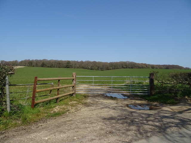
West Woodsford is a small village located in the county of Dorset, England. Situated in the picturesque countryside, it is surrounded by rolling hills and lush greenery, creating a tranquil and idyllic setting. The village is part of the West Dorset district and falls under the jurisdiction of the county town of Dorchester, which is approximately 5 miles away.

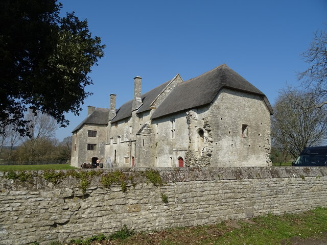
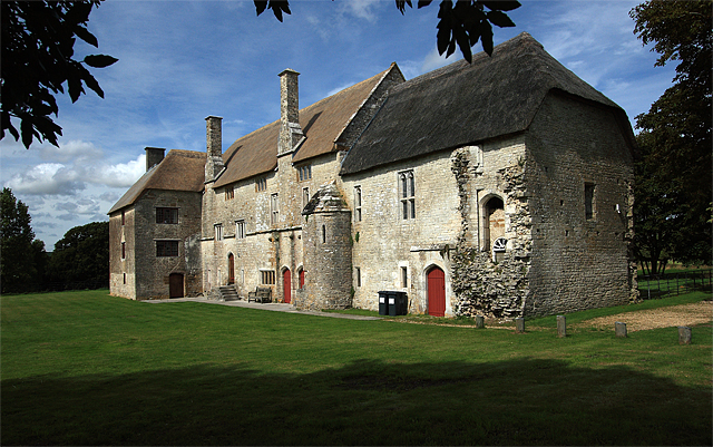
West Woodsford is home to a close-knit community, with a population of around 300 residents. The village exudes a charming and traditional atmosphere, with its quaint thatched cottages and historic buildings. The centerpiece of the village is the St. Andrew's Church, a beautiful medieval structure that dates back to the 14th century. The church serves as a focal point for the community and hosts regular religious services and events.

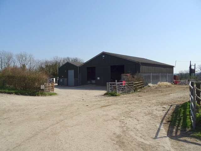
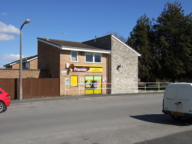
While West Woodsford may be small in size, it offers a range of amenities to its residents. These include a village hall, a primary school, and a local pub, providing a hub for social gatherings and community activities. The village also benefits from its proximity to the town of Dorchester, where residents can access a wider range of services, shops, and leisure facilities.

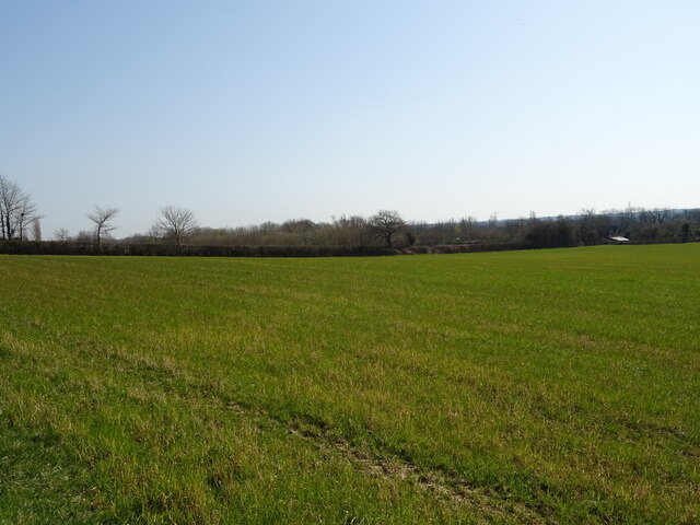
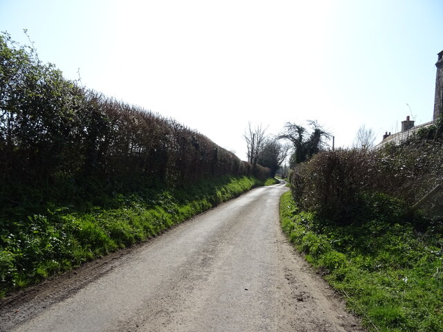
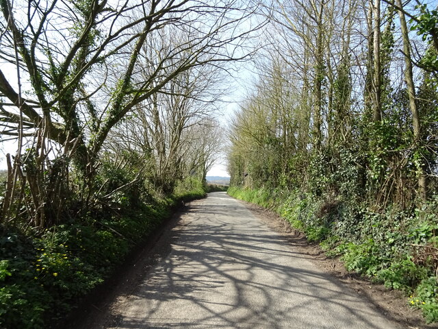
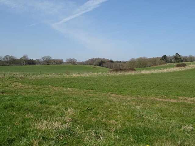
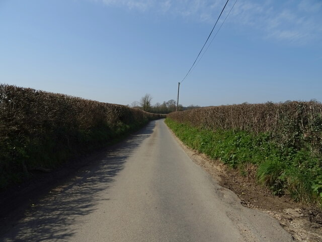
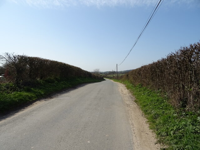
Surrounded by natural beauty, West Woodsford offers ample opportunities for outdoor activities such as walking, cycling, and exploring the nearby countryside. The village is also within easy reach of the stunning Jurassic Coast, a UNESCO World Heritage Site known for its geological significance and breathtaking landscapes.

Overall, West Woodsford is a peaceful and scenic village that offers a close community spirit and easy access to both rural and urban amenities, making it an attractive place to live or visit in Dorset.

If you have any feedback on the listing, please let us know in the comments section below.

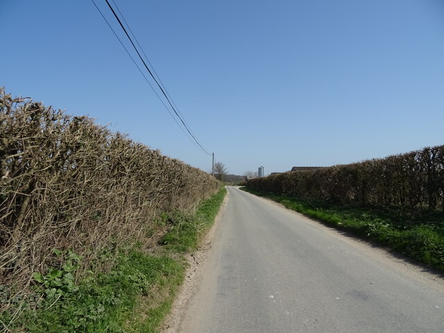
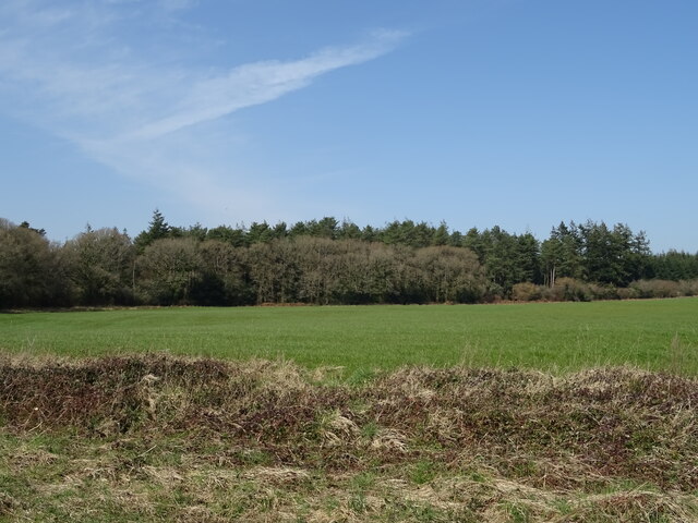
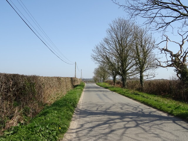
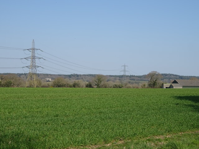
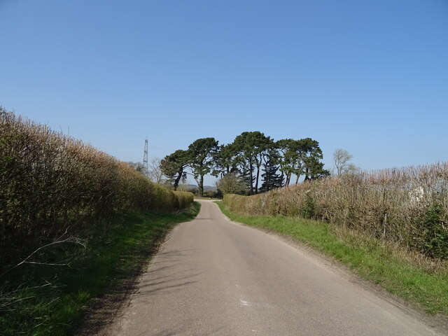
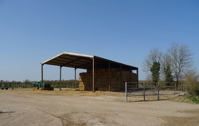
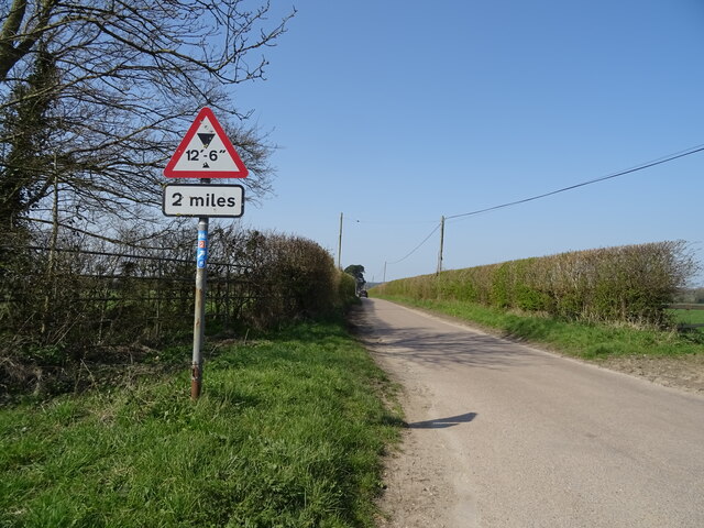
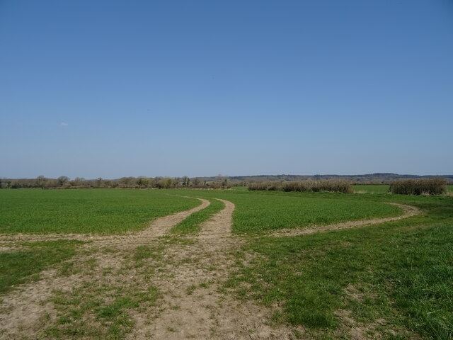
West Woodsford Images

Images are sourced within 2km of 50.711529/-2.3463641 or Grid Reference SY7590. Thanks to Geograph Open Source API. All images are credited.

Crop field, Tincleton
Looking south on Watery Lane
Ilsington Road
Ilsington Road
Grassland, Tincleton
Field entrance off Ilsington Road
Ilsington Road
Ilsington Road
Barns, Ilsington
Barns, Ilsington
Ilsington Road towards Dorchester
Ilsington Road towards Tincleton
Crop field towards woodland
Ilsington Road towards Tincleton
Crop field and power lines, Woodsford Lower Dairy
National Cycle Route 2 towards Dorchester
Barn, Woodsford
Barn, Woodsford
National Cycle Route 2, Woodsford
Drain, Woodsford
Drain, Woodsford
Tracks in crop field, Woodsford
Woodsford Castle See <a title="https://www.geograph.org.uk/photo/40292" href="https://www.geograph.org.uk/photo/40292">Link</a>
Woodsford Castle
See Link
Show me another place!

West Woodsford is located at Grid Ref: SY7590 (Lat: 50.711529, Lng: -2.3463641)

Unitary Authority: Dorset

Police Authority: Dorset

What 3 Words

///declares.aliens.briskly. Near Puddletown, Dorset

Related Wikis

Woodsford

Woodsford is a village and civil parish beside the River Frome, Dorset, England, about 4 miles (6.4 km) east of the county town Dorchester. Dorset County...

RAF Warmwell

Royal Air Force Warmwell or more simply RAF Warmwell is a former Royal Air Force station near Warmwell in Dorset, England from 1937 to 1946, located about...

Crossways, Dorset

Crossways is a village and civil parish in the English county of Dorset. It lies 6 miles (9.7 km) east of the county town Dorchester. In the 2011 census...

Tincleton

Tincleton is a village and civil parish in the county of Dorset in southern England. It is situated near the River Frome, approximately 5 miles (8.0 km...

Nearby Amenities

Located within 500m of 50.711529,-2.3463641
Material: wood
Power: pole
Source: bing
Lat/Long: 50.7122488/-2.3459116
Material: wood
Power: pole
Source: bing
Lat/Long: 50.7124202/-2.3453026
Material: wood
Power: pole
Source: bing
Lat/Long: 50.7125487/-2.3447242
Material: wood
Power: pole
Source: bing
Lat/Long: 50.7128681/-2.3457915
Material: wood
Power: pole
Source: bing
Lat/Long: 50.7134923/-2.3456847
Material: wood
Power: pole
Source: bing
Lat/Long: 50.713548/-2.340801
Material: wood
Power: pole
Source: bing
Lat/Long: 50.7136176/-2.3404954
Material: wood
Power: pole
Source: bing
Lat/Long: 50.7136904/-2.3420351
Material: wood
Power: pole
Source: bing
Lat/Long: 50.7140904/-2.345556
Material: wood
Power: pole
Source: bing
Lat/Long: 50.7150959/-2.3453666
Material: wood
Power: pole
Source: bing
Lat/Long: 50.7158277/-2.3452743
Woodsford Farms Castle Dairy
Shop: dairy
Lat/Long: 50.7117221/-2.3461122
Fire Hydrant
Emergency: fire_hydrant
Fire Hydrant Diameter: 3 inch
Fire Hydrant Type: underground
Ref: 4332
Source: GPS+GLONASS
Lat/Long: 50.71145/-2.346005
Public Transport: stop_position
Lat/Long: 50.7114554/-2.346118
Fire Hydrant
Emergency: fire_hydrant
Fire Hydrant Type: underground
Fixme: Position aproximate
Source: GPS+GLONASS
Lat/Long: 50.7122596/-2.3436131
Woodsford
Place: hamlet
Source: NLS - OS 1:25k 1st Series 1937-61
Wikidata: Q38583
Wikipedia: en:Woodsford
Lat/Long: 50.7125269/-2.3395867
West Woodsford
Place: hamlet
Lat/Long: 50.7121067/-2.3473274
Bus Stop
Castle Dairy
Bus: yes
Naptan AtcoCode: 1200DOB20387
Naptan Bearing: E
Naptan BusStopType: CUS
Naptan CommonName: Castle Dairy
Naptan Indicator: E-bound
Naptan NaptanCode: doramtaj
Naptan Verified: no
Public Transport: platform
Lat/Long: 50.7115405/-2.346029
Bus Stop
Castle Dairy
Bus: yes
Naptan AtcoCode: 1200DOB20386
Naptan Bearing: W
Naptan CommonName: Castle Dairy
Naptan Indicator: W-bound
Naptan NaptanCode: doramtag
Naptan Verified: no
Public Transport: platform
Lat/Long: 50.7114072/-2.346092
The data included in this document is from www.openstreetmap.org. The data is made available under ODbL.

Have you been to West Woodsford?

Leave your review of West Woodsford below (or comments, questions and feedback).