East Stowell
Settlement in Wiltshire
England
East Stowell
East Stowell is a small village located in the county of Wiltshire, in southwestern England. Situated approximately 4 miles northeast of the town of Marlborough, East Stowell is nestled within the picturesque countryside of the North Wessex Downs Area of Outstanding Natural Beauty.
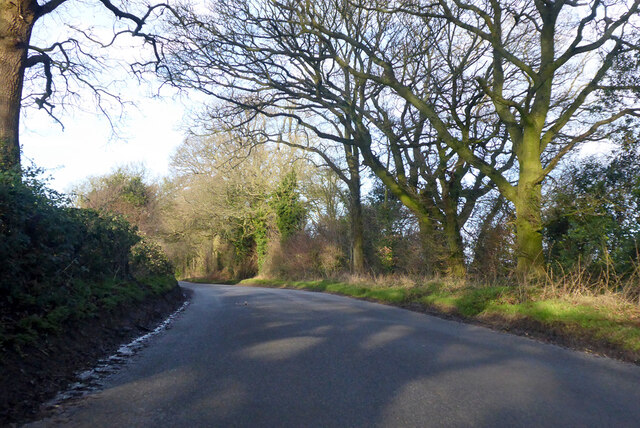
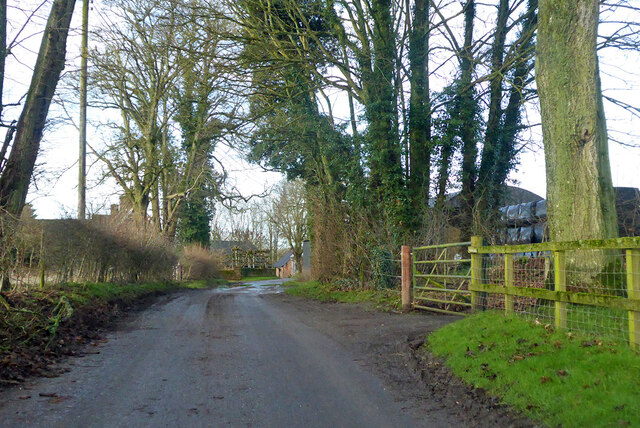
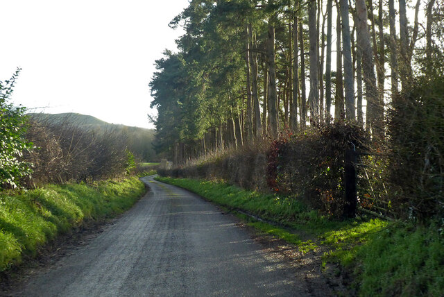
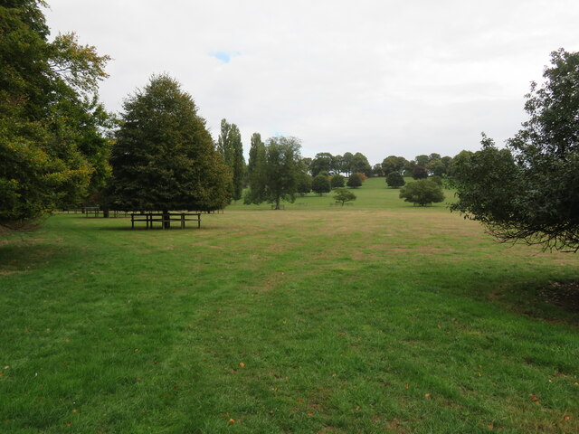
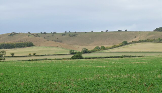
The village is known for its charming rural setting, characterized by rolling hills, lush green fields, and ancient woodlands. It is surrounded by a network of footpaths and bridleways, making it an ideal destination for walkers, hikers, and nature enthusiasts. The area offers breathtaking views, particularly from Stowell Hill, which overlooks the village and provides panoramic vistas of the surrounding countryside.
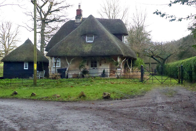
East Stowell itself is a small, close-knit community with a population of around 100 residents. The village features a mix of traditional thatched cottages and more modern homes, adding to its quintessential English charm. St. Mary's Church, a beautiful 12th-century building, serves as a focal point for the community and offers a glimpse into the village's rich history.
While East Stowell lacks amenities such as shops and schools, it benefits from its proximity to Marlborough, where residents can find a wider range of facilities and services. The village's peaceful and idyllic atmosphere, coupled with its convenient location, makes it an appealing place to live for those seeking a tranquil countryside lifestyle within easy reach of urban conveniences.
If you have any feedback on the listing, please let us know in the comments section below.
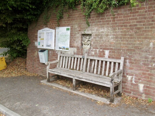
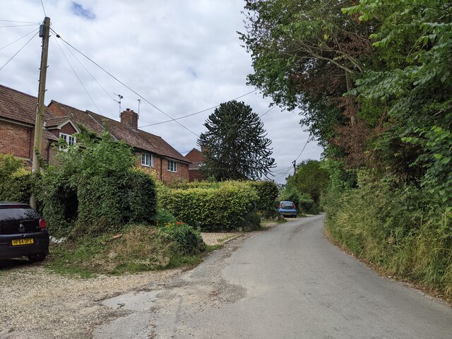
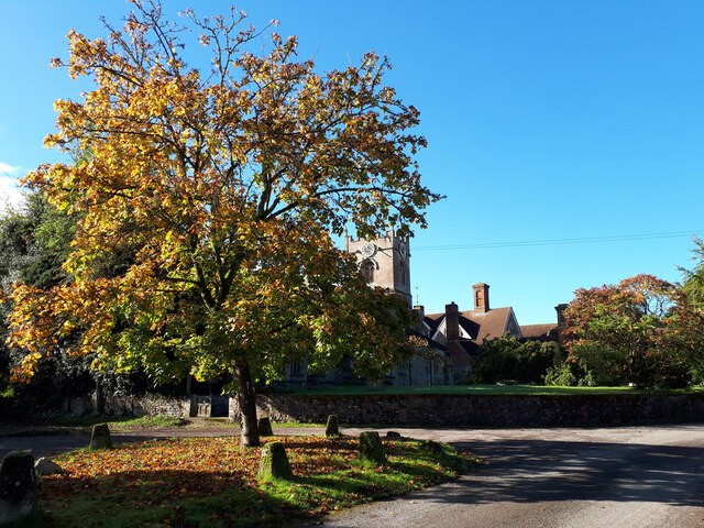
East Stowell Images
Images are sourced within 2km of 51.357904/-1.7924264 or Grid Reference SU1462. Thanks to Geograph Open Source API. All images are credited.
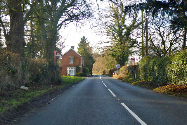
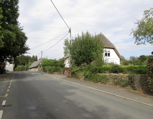
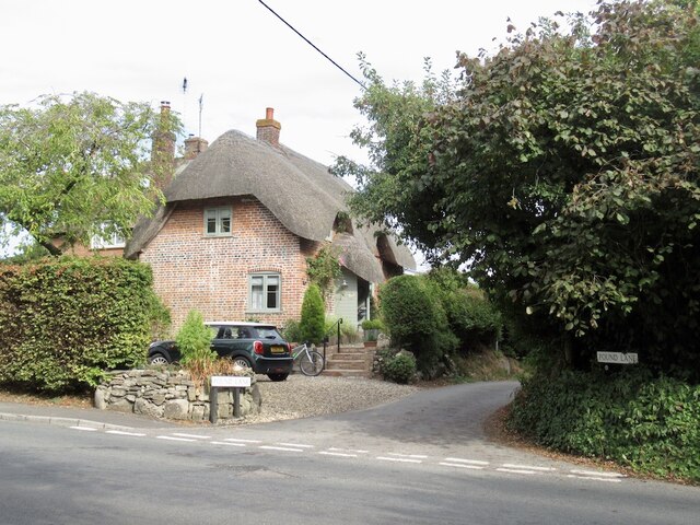
![Brick and thatch in Oare A view across the main road in the village to Pound Lane. An examination of old OS maps failed to reveal a village pound or pinfold anywhere along Pound Lane. The main road here is the A345 from Salisbury to Marlborough [and once to Swindon], but most traffic uses the A346 a little further east as much of the A345 is little better than a country lane.](https://s1.geograph.org.uk/geophotos/07/30/56/7305641_5a81c12f.jpg)

East Stowell is located at Grid Ref: SU1462 (Lat: 51.357904, Lng: -1.7924264)
Unitary Authority: Wiltshire
Police Authority: Wiltshire
What 3 Words
///attention.mondays.coins. Near Huish, Wiltshire
Nearby Locations
Related Wikis

Stanchester Hoard
The Stanchester Hoard is a hoard of 1,166 Roman coins dating from the fourth to early fifth century found in 2000 at Wilcot, in the Vale of Pewsey, Wiltshire...
Oare Pavilion
The Oare Pavilion or Oare Tea House Pavilion is a summer house designed by I. M. Pei for the businessman Henry Keswick and his wife Tessa Keswick at Oare...

Wilcot
Wilcot is a village and former civil parish, now in the parish of Wilcot, Huish and Oare, in Wiltshire, England, in the Vale of Pewsey about 6 miles (10...

Huish, Wiltshire
Huish is a small village and former civil parish, now in the parish of Wilcot, Huish and Oare, in Wiltshire, England, 2 miles (3.2 km) northwest of Pewsey...

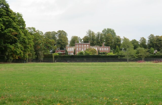
Oare House
Oare House is a Grade I listed country house in Oare, Wiltshire, England.The house was built in 1740 for a London wine merchant, Henry Deacon. It was largely...

Oare, Wiltshire
Oare is a small village in the east of the county of Wiltshire, England. The village lies about 2 miles (3.2 km) north of Pewsey, on the A345 road towards...

Pewsey railway station
Pewsey railway station serves the large village of Pewsey in the county of Wiltshire, England. The station is on the Berks and Hants line, 75 miles 26...
Pewsey Vale School
Pewsey Vale School is a small, mixed secondary school in Pewsey, Wiltshire, England, for children aged 11 to 16. It became an academy in July 2011. The...
Nearby Amenities
Located within 500m of 51.357904,-1.7924264Have you been to East Stowell?
Leave your review of East Stowell below (or comments, questions and feedback).