Park Copse
Wood, Forest in Wiltshire
England
Park Copse
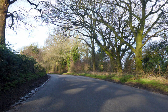
Park Copse is a picturesque wood located in the county of Wiltshire, England. This beautiful forest covers an area of approximately 10 acres and is a popular destination for nature lovers and outdoor enthusiasts. It is situated near the village of Park, providing easy access to visitors from the surrounding areas.
The copse is predominantly made up of native broadleaf trees, including oak, beech, and birch, which create a dense canopy that provides shelter and shade. The forest floor is covered in a rich carpet of bluebells and wildflowers during the spring, adding to its natural beauty.
Visitors to Park Copse can enjoy a variety of activities such as walking, birdwatching, and picnicking. There are designated trails that crisscross the wood, allowing visitors to explore its serene environment and discover its diverse wildlife. The copse is home to a variety of bird species, including woodpeckers, thrushes, and owls, making it a haven for birdwatchers.
The peaceful atmosphere of Park Copse provides a perfect escape from the hustle and bustle of everyday life. The tranquil surroundings and abundance of wildlife make it an ideal spot for nature photography and relaxation. It is also a great place for families to spend quality time together, with designated picnic areas and benches scattered throughout the wood.
Overall, Park Copse in Wiltshire is a natural gem that offers a tranquil and scenic experience for visitors. It is a place where one can immerse themselves in the beauty of nature and appreciate the wonders of the British countryside.
If you have any feedback on the listing, please let us know in the comments section below.
Park Copse Images
Images are sourced within 2km of 51.361231/-1.7873271 or Grid Reference SU1462. Thanks to Geograph Open Source API. All images are credited.


![Trig point at the Giant's Grave Trig at the western end of the promontory hill fort of Giant's Grave. Beyond the trig, the path drops down what must be the steepest section of footpath in Wiltshire, the question on this occasion being, would the photographer get to the shelter of trees at the bottom before the heavy shower hit? [answer - 'yes just']](https://s0.geograph.org.uk/geophotos/07/30/56/7305632_aac42d0f.jpg)
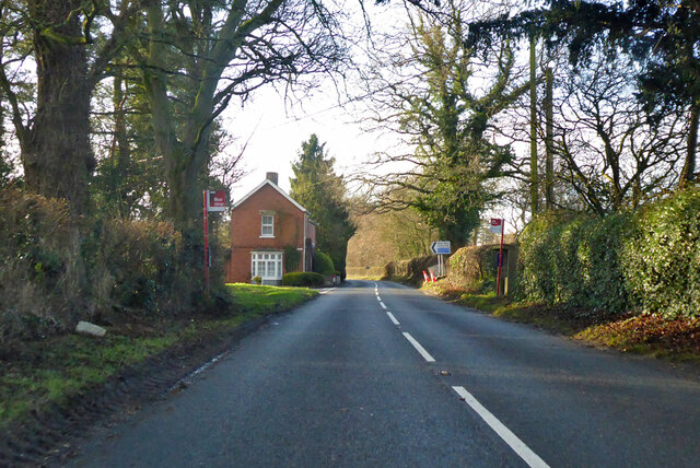
![Brick and thatch in Oare A view across the main road in the village to Pound Lane. An examination of old OS maps failed to reveal a village pound or pinfold anywhere along Pound Lane. The main road here is the A345 from Salisbury to Marlborough [and once to Swindon], but most traffic uses the A346 a little further east as much of the A345 is little better than a country lane.](https://s1.geograph.org.uk/geophotos/07/30/56/7305641_5a81c12f.jpg)
Park Copse is located at Grid Ref: SU1462 (Lat: 51.361231, Lng: -1.7873271)
Unitary Authority: Wiltshire
Police Authority: Wiltshire
What 3 Words
///blacken.unfolds.hungry. Near Huish, Wiltshire
Nearby Locations
Related Wikis

Oare Pavilion
The Oare Pavilion or Oare Tea House Pavilion is a summer house designed by I. M. Pei for the businessman Henry Keswick and his wife Tessa Keswick at Oare...

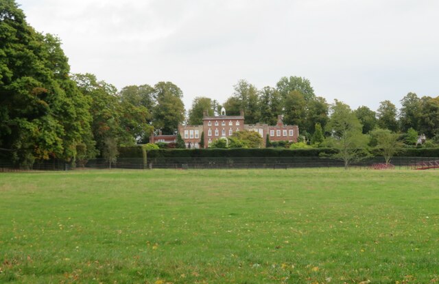
Oare House
Oare House is a Grade I listed country house in Oare, Wiltshire, England.The house was built in 1740 for a London wine merchant, Henry Deacon. It was largely...

Oare, Wiltshire
Oare is a small village in the east of the county of Wiltshire, England. The village lies about 2 miles (3.2 km) north of Pewsey, on the A345 road towards...

Huish, Wiltshire
Huish is a small village and former civil parish, now in the parish of Wilcot, Huish and Oare, in Wiltshire, England, 2 miles (3.2 km) northwest of Pewsey...
Stanchester Hoard
The Stanchester Hoard is a hoard of 1,166 Roman coins dating from the fourth to early fifth century found in 2000 at Wilcot, in the Vale of Pewsey, Wiltshire...

Wilcot
Wilcot is a village and former civil parish, now in the parish of Wilcot, Huish and Oare, in Wiltshire, England, in the Vale of Pewsey about 6 miles (10...
Jones's Mill
Jones's Mill (grid reference SU168613) is an 11.6 hectare biological Site of Special Scientific Interest near Pewsey in Wiltshire, notified in 1975. The...

Pewsey railway station
Pewsey railway station serves the large village of Pewsey in the county of Wiltshire, England. The station is on the Berks and Hants line, 75 miles 26...
Have you been to Park Copse?
Leave your review of Park Copse below (or comments, questions and feedback).