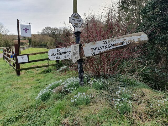
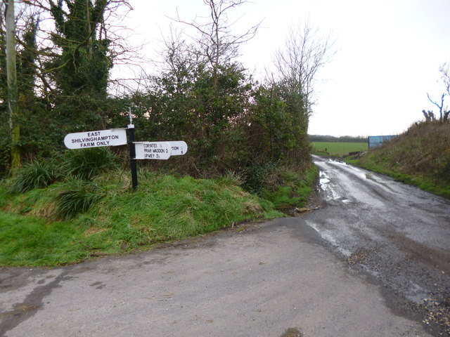
East Shilvinghampton
Settlement in Dorset
England
East Shilvinghampton
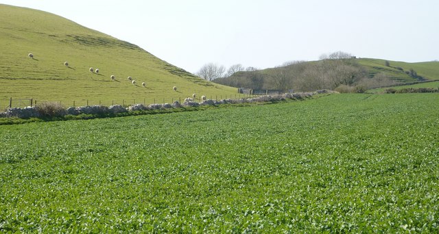
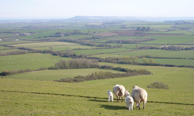
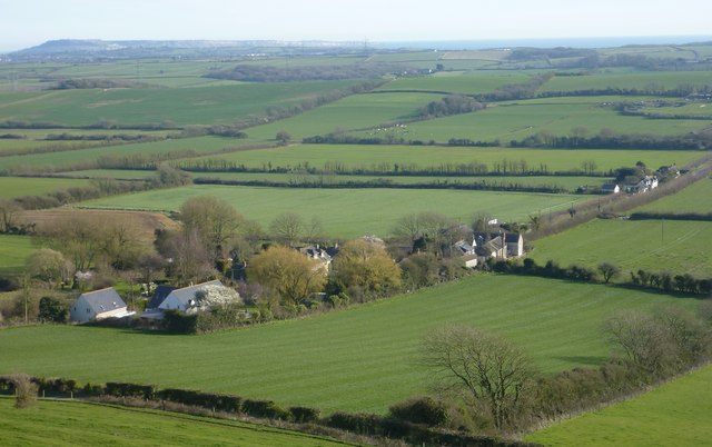
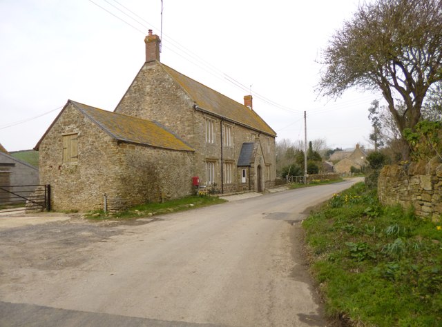
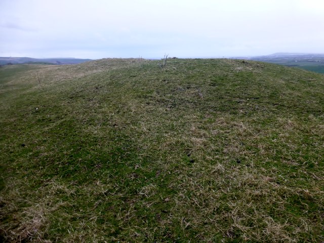
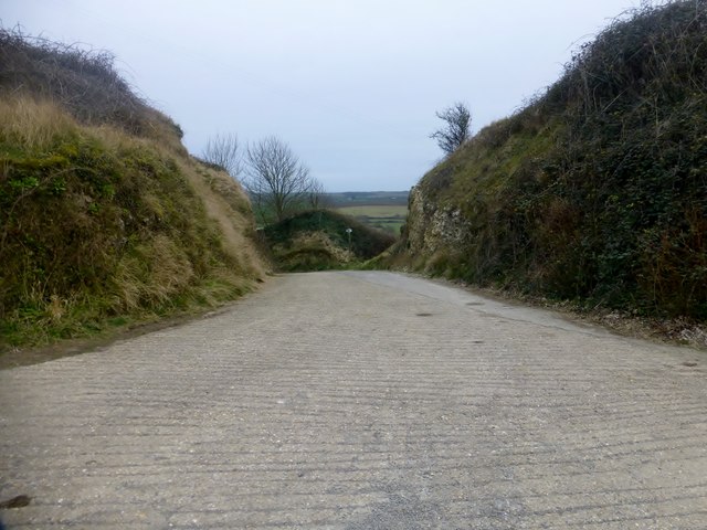
East Shilvinghampton is a small coastal village located in the county of Dorset, England. Situated on the Jurassic Coast, it lies approximately 10 miles west of Weymouth and 5 miles east of the historic town of Bridport. The village is nestled between rolling hills and overlooks the picturesque Shilvinghampton Bay.
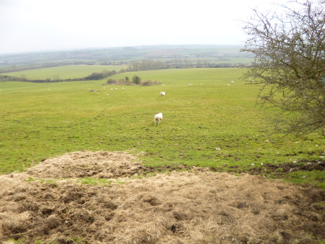
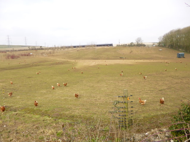
With a population of around 300 residents, East Shilvinghampton maintains a charming and tranquil atmosphere, making it an ideal destination for those seeking a peaceful retreat. The village is known for its stunning natural beauty, offering breathtaking views of the English Channel and the surrounding countryside.
The main focal point of the village is St. Mary's Church, a beautiful 12th-century building that stands proudly at the heart of East Shilvinghampton. The church serves as a reminder of the village's rich history and is a popular spot for visitors to explore.
In terms of amenities, East Shilvinghampton boasts a small local pub, The Seagull Inn, which is frequented by both locals and tourists alike. The pub offers a warm and friendly atmosphere, serving traditional British cuisine and a selection of locally brewed ales.
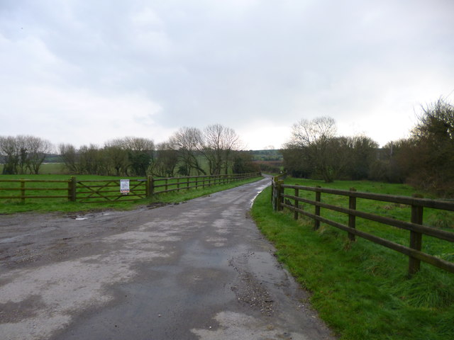
The village is also a haven for outdoor enthusiasts, with numerous walking trails and cycling routes available to explore the surrounding countryside. Shilvinghampton Beach, located just a short walk from the village, offers a peaceful spot to relax and enjoy the coastal scenery.
Overall, East Shilvinghampton provides a quintessentially English coastal experience, blending natural beauty, historical charm, and a welcoming community spirit.
If you have any feedback on the listing, please let us know in the comments section below.
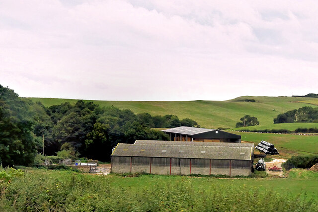
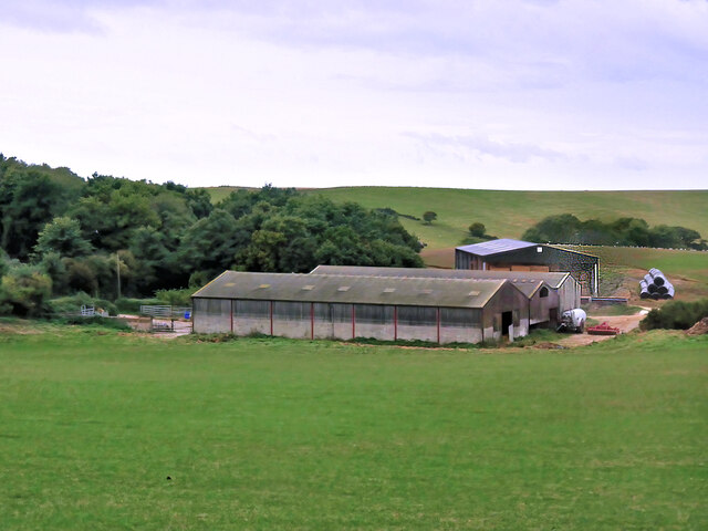
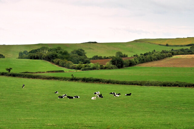
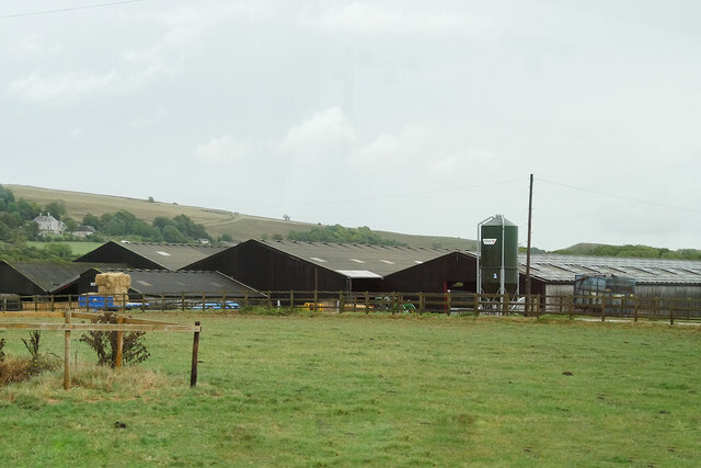
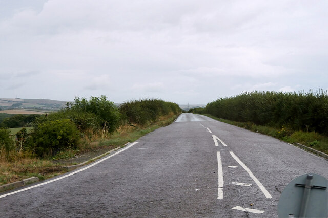
East Shilvinghampton Images
Images are sourced within 2km of 50.65826/-2.5274237 or Grid Reference SY6284. Thanks to Geograph Open Source API. All images are credited.
East Shilvinghampton is located at Grid Ref: SY6284 (Lat: 50.65826, Lng: -2.5274237)
Unitary Authority: Dorset
Police Authority: Dorset
What 3 Words
///smart.intersect.formless. Near Chickerell, Dorset
Nearby Locations
Related Wikis

Coryates Halt railway station
Coryates Halt was a small railway station on the Abbotsbury branch railway in the west of the English county of Dorset. It consisted of a single platform...

St Bartholomew's Chapel, Corton
St Bartholomew's Chapel is a Church of England chapel in Corton, near Weymouth, Dorset, England. The chapel has early 13th century origins, with later...

Corton Cutting
Corton Cutting (grid reference SY637855) is a 0.24 hectare geological Site of Special Scientific Interest in Dorset, England, notified in 1997. The site...
Uggescombe Hundred
Uggescombe Hundred was a hundred in the county of Dorset, England, containing the following parishes: Abbotsbury Chilcombe Fleet Hawkchurch (part) Kingston...

Langton Herring
Langton Herring is a village and civil parish in the county of Dorset in South West England. It lies about 5 miles (8.0 km) north-west of the coastal resort...

Buckland Ripers
Buckland Ripers is a hamlet in Dorset, England, situated four miles north west of Weymouth. == External links == Dorset OPC Buckland Ripers Parish page...

Portesham railway station
Portesham was a small railway station serving the village of Portesham in the west of the English county of Dorset. == Location == The station was sited...

Portesham
Portesham, sometimes also spelled Portisham, is a village and civil parish in the county of Dorset in southwest England, situated in the Dorset Council...
Nearby Amenities
Located within 500m of 50.65826,-2.5274237Have you been to East Shilvinghampton?
Leave your review of East Shilvinghampton below (or comments, questions and feedback).