Red Mead Coppice

Wood, Forest in Dorset

England

Red Mead Coppice

Farm Buildings near Rodden
Farm Buildings near Rodden Credit: David Dixon

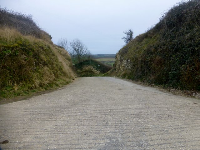
Red Mead Coppice is a picturesque woodland area located in the county of Dorset, England. Situated on the outskirts of the small village of Red Mead, the coppice covers an area of approximately 50 acres and is renowned for its natural beauty and diverse range of flora and fauna.

The woodland is predominantly composed of mature oak trees, with patches of hazel and ash interspersed throughout. The dense canopy created by these trees provides a rich habitat for a variety of bird species, including woodpeckers, owls, and various songbirds. The forest floor is adorned with an array of wildflowers, such as bluebells, primroses, and orchids, adding a burst of color to the landscape during the spring and summer months.

Red Mead Coppice is a popular destination for nature enthusiasts and hikers, who are drawn to its tranquil atmosphere and well-maintained walking trails. These trails wind their way through the woodland, allowing visitors to explore its hidden corners and discover the resident wildlife. Along the way, benches and picnic areas are strategically placed, providing a perfect spot for visitors to rest and take in the serene surroundings.

Managed by the local conservation authority, Red Mead Coppice is actively protected and preserved. Regular maintenance work, including selective tree thinning and invasive species control, is carried out to ensure the long-term health and sustainability of the woodland ecosystem.

Overall, Red Mead Coppice is a haven of natural beauty and a cherished asset to the local community. Its tranquil atmosphere and diverse wildlife make it a must-visit destination for nature lovers and those seeking a peaceful escape in the heart of Dorset.

If you have any feedback on the listing, please let us know in the comments section below.

Red Mead Coppice Images

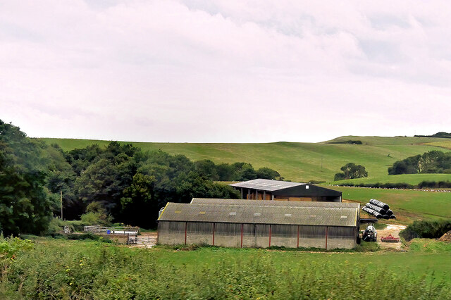
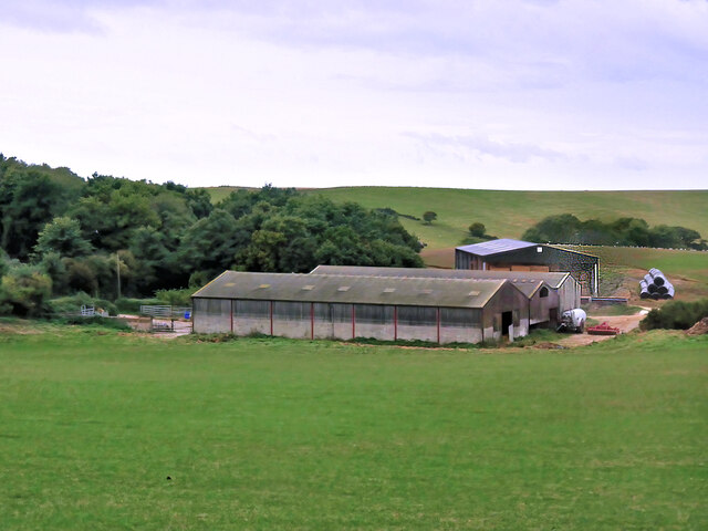
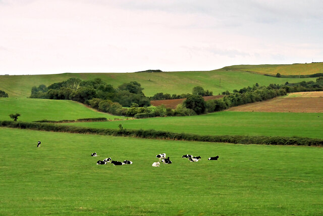
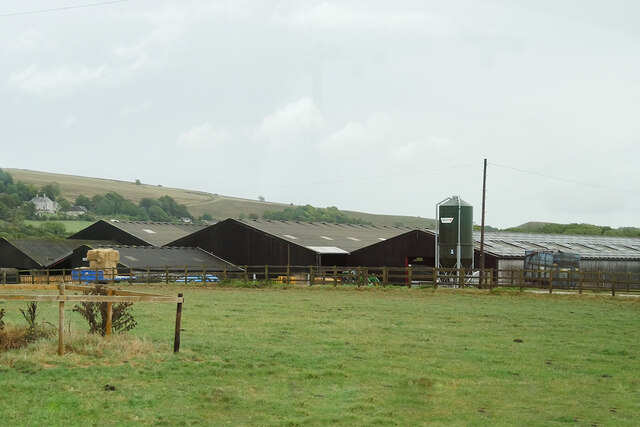
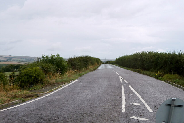
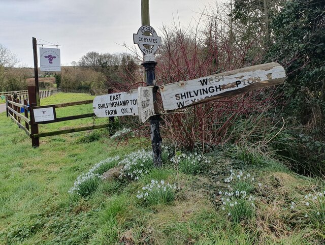
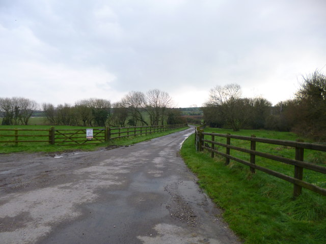
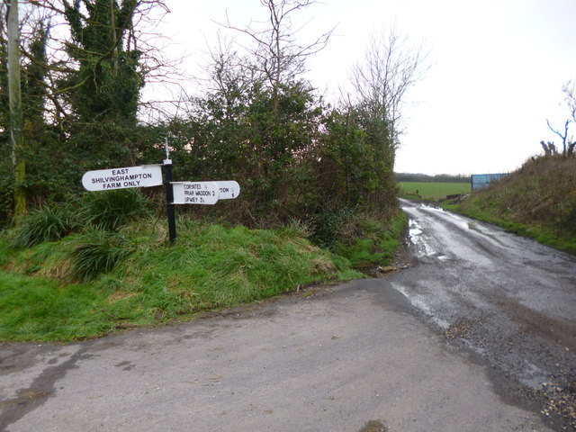
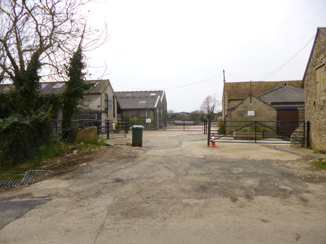
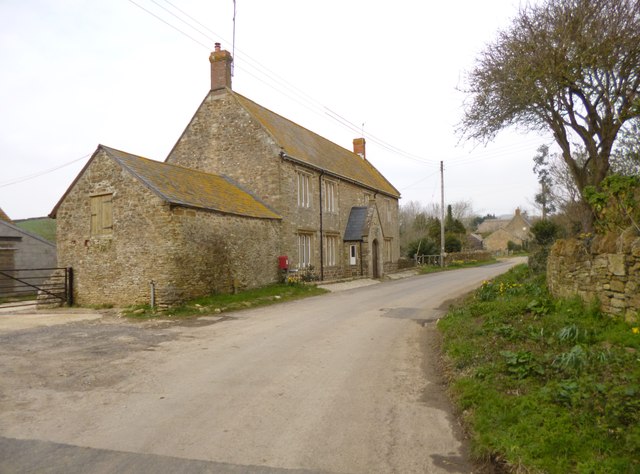
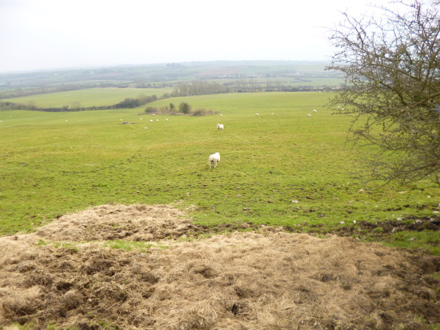
Images are sourced within 2km of 50.658889/-2.5356079 or Grid Reference SY6284. Thanks to Geograph Open Source API. All images are credited.

Farm Buildings near Rodden
Farm near Rodden
Farm near Rodden
Cattle Grazing near Rodden
Clover Farm
Clover Farm
Nottington Lane
Nottington Lane
Direction Sign - Signpost on Cheese Lane near Coryates Located south of Coryates on the southwest side of the junction of Cheese Lane and the road to East Shilvinghampton Farm in Portesham parish. 3 arms and annulus & bar finial. See <a title="https://www.geograph.org.uk/photo/6099271" href="https://www.geograph.org.uk/photo/6099271">Link</a> to compare with its condition in 2013, and <a title="https://www.geograph.org.uk/photo/3308110" href="https://www.geograph.org.uk/photo/3308110">Link</a> and <a title="https://www.geograph.org.uk/photo/1092395" href="https://www.geograph.org.uk/photo/1092395">Link</a> for alternative views

Milestone Society National ID: DO_SY6284
Direction Sign - Signpost on Cheese Lane near Coryates
Located south of Coryates on the southwest side of the junction of Cheese Lane and the road to East Shilvinghampton Farm in Portesham parish. 3 arms and annulus & bar finial. See Link to compare with its condition in 2013, and Link and Link for alternative views Milestone Society National ID: DO_SY6284
Portesham Station House occupying former station buildings. The footpath runs past on the right of the picture. It is not particularly obvious that you are walking past a station until you look back and see this view.
Portesham Station
House occupying former station buildings. The footpath runs past on the right of the picture. It is not particularly obvious that you are walking past a station until you look back and see this view.
Coryates, farm road Farm road and footpath, from the Portesham to Shilvinghampton road; leading to East Shilvinghampton Farm.
Coryates, farm road
Farm road and footpath, from the Portesham to Shilvinghampton road; leading to East Shilvinghampton Farm.
Coryates, fingerpost Dorset gridded fingerpost, at the junction of the Portesham to Broadwey road, and the road to East Shilvinghampton Farm; bearing grid number "628 847".
Coryates, fingerpost
Dorset gridded fingerpost, at the junction of the Portesham to Broadwey road, and the road to East Shilvinghampton Farm; bearing grid number "628 847".
Rodden Ridge, gate and stile At the beginning of the footpath to Rodden.
Rodden Ridge, gate and stile
At the beginning of the footpath to Rodden.
Rodden Farm The maze would probably be not too visible at this time of year! <span class="nowrap"><a title="http://www.maize-maze.com/locations/family-day-out-in-weymouth.php" rel="nofollow ugc noopener" href="http://www.maize-maze.com/locations/family-day-out-in-weymouth.php">Link</a><img style="margin-left:2px;" alt="External link" title="External link - shift click to open in new window" src="https://s1.geograph.org.uk/img/external.png" width="10" height="10"/></span>
Rodden Farm
The maze would probably be not too visible at this time of year! LinkExternal link
Rodden Farmhouse
Rodden Farmhouse
Portesham, sheep grazing
Portesham station and goods shed Portesham station and goods shed 10 years after closure. The branch from Upwey to Abbotsbury closed on 1st January 1952, and the track was lifted in 1955.
Portesham station and goods shed
Portesham station and goods shed 10 years after closure. The branch from Upwey to Abbotsbury closed on 1st January 1952, and the track was lifted in 1955.
Ordnance Survey Flush Bracket G5011 This can be found on a wall at Clover Farm.
For more detail see : <span class="nowrap"><a title="http://www.bench-marks.org.uk/bm14712" rel="nofollow ugc noopener" href="http://www.bench-marks.org.uk/bm14712">Link</a><img style="margin-left:2px;" alt="External link" title="External link - shift click to open in new window" src="https://s1.geograph.org.uk/img/external.png" width="10" height="10"/></span>
Ordnance Survey Flush Bracket G5011
This can be found on a wall at Clover Farm. For more detail see : LinkExternal link
Abandoned farmstead, Hell Bottom
Entrance to Corton Farm A route hub for roads and paths near the entrance to Corton Farm between Friar Waddon Hill and Corton Hill.
Entrance to Corton Farm
A route hub for roads and paths near the entrance to Corton Farm between Friar Waddon Hill and Corton Hill.
Benchmark on property, Corton Hill Ordnance Survey benchmark which has survived extensive renovation work. For description, see <span class="nowrap"><a title="http://www.bench-marks.org.uk/bm69091" rel="nofollow ugc noopener" href="http://www.bench-marks.org.uk/bm69091">Link</a><img style="margin-left:2px;" alt="External link" title="External link - shift click to open in new window" src="https://s1.geograph.org.uk/img/external.png" width="10" height="10"/></span> and for context photo, see <a href="https://www.geograph.org.uk/photo/4574627">SY6385 : Scaffolding on property, Corton Hill</a>.
Benchmark on property, Corton Hill
Ordnance Survey benchmark which has survived extensive renovation work. For description, see LinkExternal link and for context photo, see SY6385 : Scaffolding on property, Corton Hill.
Show me another place!

Red Mead Coppice is located at Grid Ref: SY6284 (Lat: 50.658889, Lng: -2.5356079)

Unitary Authority: Dorset

Police Authority: Dorset

What 3 Words

///houseboat.contoured.angers. Near Chickerell, Dorset

Related Wikis

Coryates Halt railway station

Coryates Halt was a small railway station on the Abbotsbury branch railway in the west of the English county of Dorset. It consisted of a single platform...

St Bartholomew's Chapel, Corton

St Bartholomew's Chapel is a Church of England chapel in Corton, near Weymouth, Dorset, England. The chapel has early 13th century origins, with later...

Corton Cutting

Corton Cutting (grid reference SY637855) is a 0.24 hectare geological Site of Special Scientific Interest in Dorset, England, notified in 1997. The site...

Portesham railway station

Portesham was a small railway station serving the village of Portesham in the west of the English county of Dorset. == Location == The station was sited...

Nearby Amenities

Located within 500m of 50.658889,-2.5356079
Material: wood
Power: pole
Source: bing
Lat/Long: 50.6606192/-2.5415229
Material: wood
Power: pole
Source: bing
Lat/Long: 50.6609811/-2.5403635
Material: wood
Power: pole
Source: bing
Lat/Long: 50.6616467/-2.540124
Material: wood
Power: pole
Source: bing
Lat/Long: 50.6623201/-2.5398843
Power: pole
Source: bing
Lat/Long: 50.6592231/-2.531615
Power: pole
Source: bing
Lat/Long: 50.6591135/-2.5326987
Power: pole
Source: bing
Transformer: distribution
Lat/Long: 50.6594263/-2.5297657
Power: pole
Source: bing
Lat/Long: 50.6593422/-2.5305958
Power: pole
Source: bing
Transformer: distribution
Lat/Long: 50.6574224/-2.5291984
Power: pole
Source: bing
Lat/Long: 50.6580737/-2.5296664
Power: pole
Source: bing
Lat/Long: 50.6581034/-2.5327536
Power: pole
Source: bing
Lat/Long: 50.6585396/-2.5335167
Power: pole
Source: bing
Lat/Long: 50.6589545/-2.5342597
Power: pole
Source: bing
Lat/Long: 50.6593617/-2.5350107
Power: pole
Source: bing
Lat/Long: 50.6597188/-2.5361614
Power: pole
Source: bing
Lat/Long: 50.6600724/-2.5373
Power: pole
Source: bing
Lat/Long: 50.6604134/-2.5383849
Power: pole
Source: bing
Lat/Long: 50.6612941/-2.5413166
Power: pole
Source: bing
Lat/Long: 50.6607101/-2.5394149
The data included in this document is from www.openstreetmap.org. The data is made available under ODbL.

Have you been to Red Mead Coppice?

Leave your review of Red Mead Coppice below (or comments, questions and feedback).