East Sharcott
Settlement in Wiltshire
England
East Sharcott
East Sharcott is a small village located in the county of Wiltshire, England. Situated in the southern part of the county, it is surrounded by picturesque countryside and is part of the civil parish of Sharcott. The village is located approximately 5 miles southeast of the town of Devizes and about 17 miles north of the city of Salisbury.
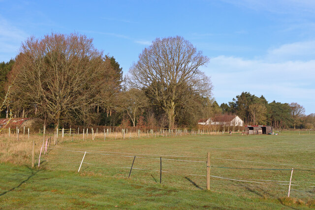
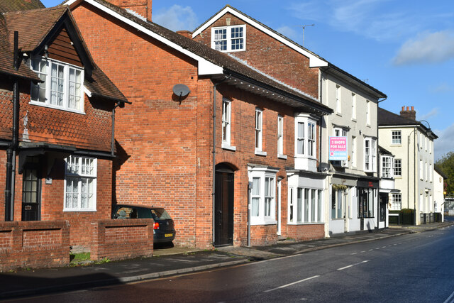
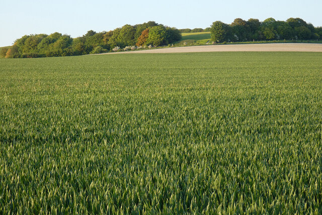
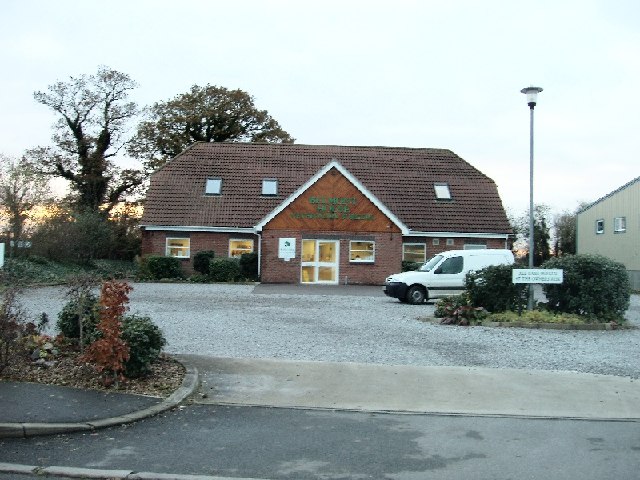
East Sharcott is known for its rural charm and tranquility. The village is characterized by a collection of traditional stone cottages and farmhouses, which add to its quaint and idyllic atmosphere. The surrounding farmland is predominantly used for agriculture, with fields of crops and grazing livestock.
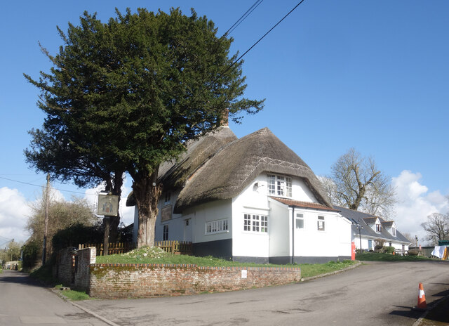
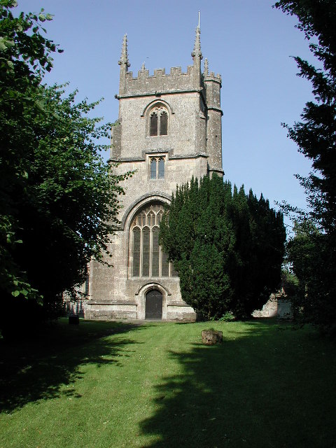
Despite its small size, East Sharcott has a strong sense of community, with a village hall that serves as a hub for various local events and activities. The village is also home to a historic church, St. Leonard's, which dates back to the 12th century and is a notable architectural feature.
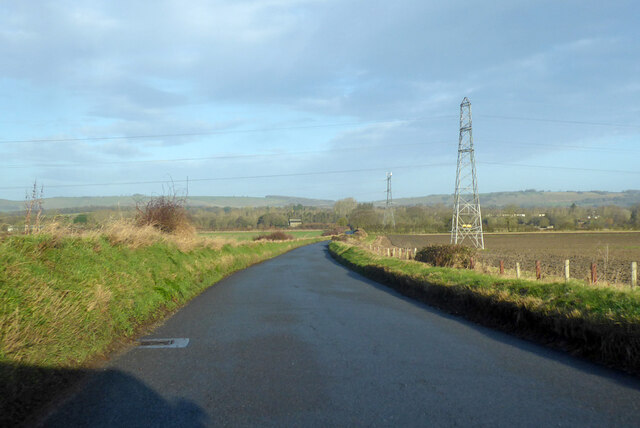
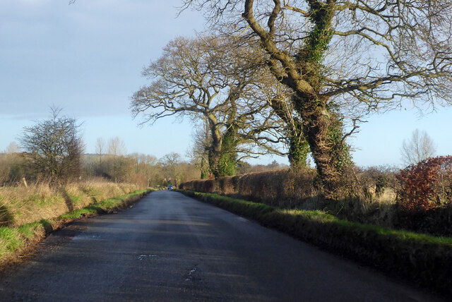
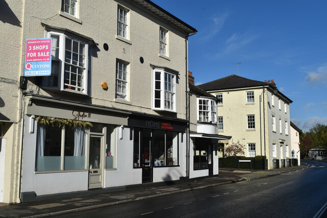
The village is well connected to neighboring areas by a network of roads, making it easily accessible. The nearby market town of Devizes provides amenities such as shops, schools, and healthcare facilities, ensuring that residents have access to essential services.
East Sharcott offers a peaceful and picturesque setting for those seeking a rural lifestyle, away from the hustle and bustle of larger towns and cities. Its charm lies in its simplicity and natural beauty, making it an attractive place to live or visit for those seeking a tranquil retreat in the heart of the Wiltshire countryside.
If you have any feedback on the listing, please let us know in the comments section below.
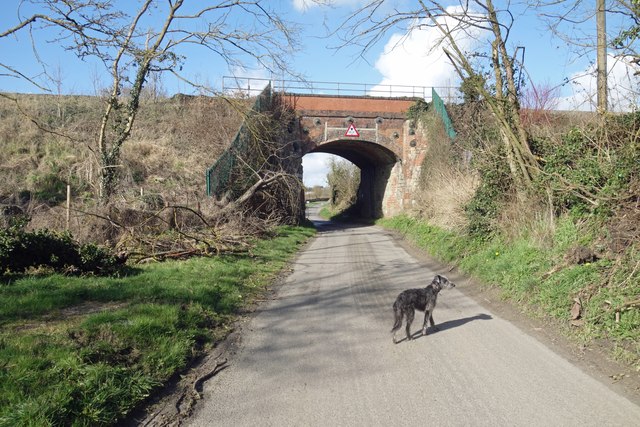
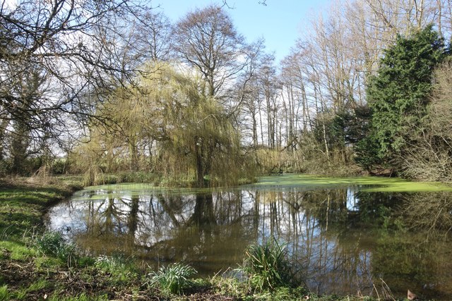
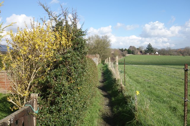
East Sharcott Images
Images are sourced within 2km of 51.333053/-1.783553 or Grid Reference SU1559. Thanks to Geograph Open Source API. All images are credited.


East Sharcott is located at Grid Ref: SU1559 (Lat: 51.333053, Lng: -1.783553)
Unitary Authority: Wiltshire
Police Authority: Wiltshire
What 3 Words
///lingering.sprawls.envy. Near Pewsey, Wiltshire
Nearby Locations
Related Wikis

Pewsey Vale School
Pewsey Vale School is a small, mixed secondary school in Pewsey, Wiltshire, England, for children aged 11 to 16. It became an academy in July 2011. The...
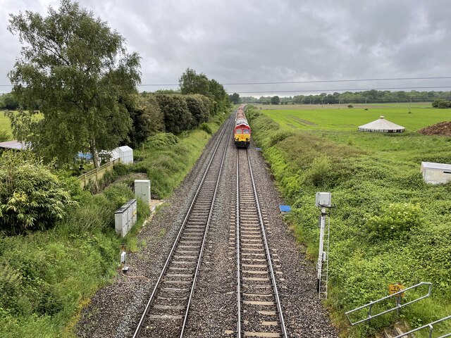
Manningford Halt railway station
Manningford Halt is a former railway station which opened in 1932 in Manningford parish, Wiltshire, England on the Berks and Hants Extension Railway between...

Pewsey railway station
Pewsey railway station serves the large village of Pewsey in the county of Wiltshire, England. The station is on the Berks and Hants line, 75 miles 26...

Pewsey
Pewsey is a large village and civil parish at the centre of the Vale of Pewsey in Wiltshire, about 6 miles (10 km) south of Marlborough and 71 miles (114...
Nearby Amenities
Located within 500m of 51.333053,-1.783553Have you been to East Sharcott?
Leave your review of East Sharcott below (or comments, questions and feedback).