East Shalford
Settlement in Surrey Guildford
England
East Shalford
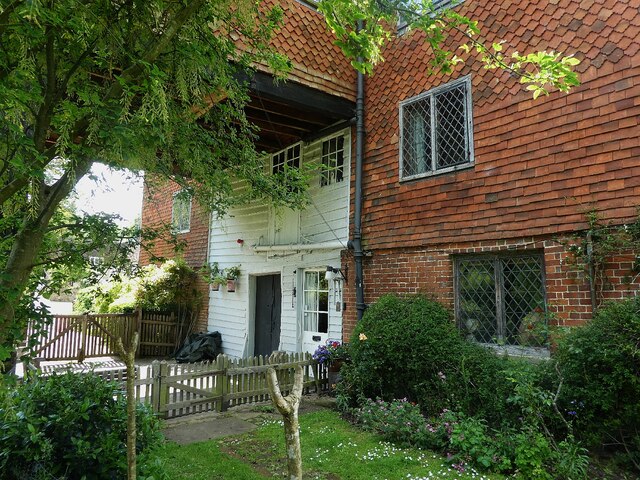
East Shalford is a picturesque village located in the county of Surrey, England. Situated on the banks of the River Wey, it is part of the larger Shalford parish and is approximately 3 miles southwest of the town of Guildford. The village is known for its charming rural setting and historic architecture, making it a popular destination for visitors seeking a tranquil retreat from the bustling city.
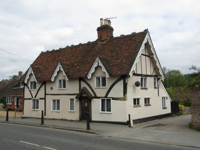
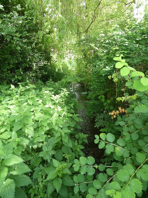
Characterized by its traditional English cottages and period houses, East Shalford exudes a timeless charm. The village is surrounded by lush countryside, offering residents and visitors numerous opportunities for outdoor activities such as walking, cycling, and boating along the river.
East Shalford boasts a strong sense of community, with a local church, primary school, and a handful of small businesses catering to the needs of the residents. The village also benefits from excellent transportation links, with a nearby train station connecting it to major towns and cities in the region.
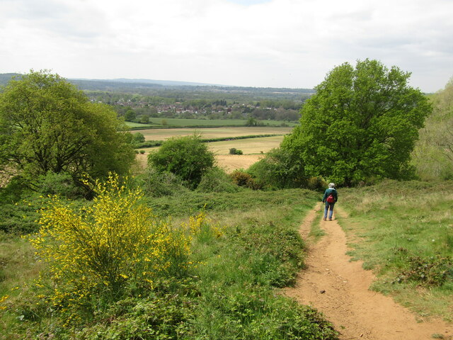
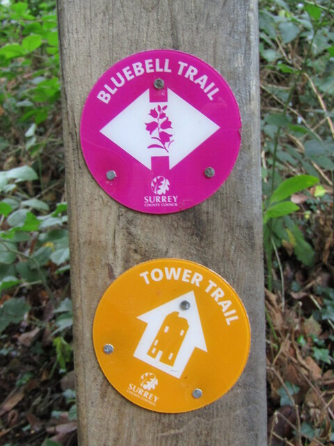
In terms of amenities, East Shalford benefits from the close proximity to Guildford, which offers a wide range of shops, restaurants, and leisure facilities. Additionally, the village is within easy reach of the beautiful Surrey Hills Area of Outstanding Natural Beauty, providing residents with stunning landscapes and opportunities for outdoor exploration.
Overall, East Shalford's idyllic setting, rich history, and close-knit community make it a highly desirable place to live or visit for those seeking a quintessential English village experience.
If you have any feedback on the listing, please let us know in the comments section below.
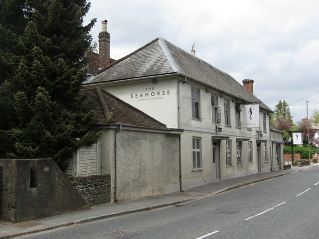
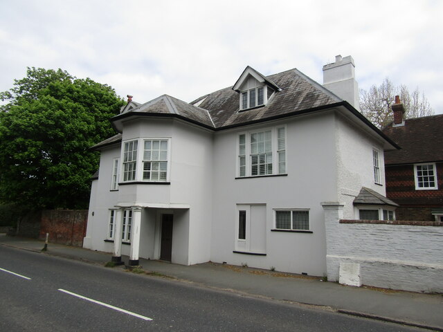
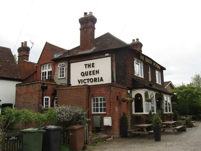
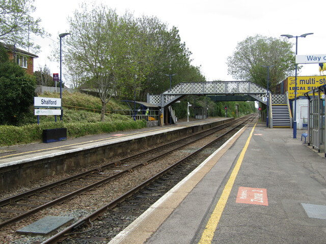
East Shalford Images
Images are sourced within 2km of 51.216457/-0.551789 or Grid Reference TQ0147. Thanks to Geograph Open Source API. All images are credited.

East Shalford is located at Grid Ref: TQ0147 (Lat: 51.216457, Lng: -0.551789)
Administrative County: Surrey
District: Guildford
Police Authority: Surrey
What 3 Words
///cube.nets.wacky. Near Chilworth, Surrey
Nearby Locations
Related Wikis

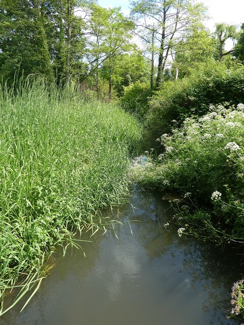
River Tillingbourne
The River Tillingbourne (also known as the Tilling Bourne) runs along the south side of the North Downs and joins the River Wey at Guildford. Its source...

Chilworth, Surrey
Chilworth is a village in the Guildford borough of Surrey, England. It is located in the Tillingbourne valley, southeast of Guildford. == Geography... ==

St Martha, Surrey
St Martha is a hillside, largely wooded, small civil parish in the Guildford borough of Surrey towards the narrower part of the west half of the North...

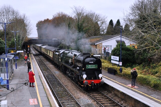
Shalford railway station
Shalford railway station serves the village of Shalford, Surrey, England. The station, and all trains serving it, are operated by Great Western Railway...

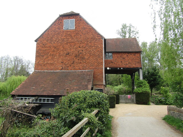
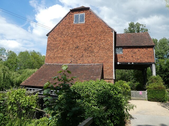
Shalford Mill
Shalford Mill is an 18th-century Grade II* listed watermill located on the River Tillingbourne in Shalford, near Guildford, Surrey, England. In 1932, the...

Shalford, Surrey
Shalford is a village and civil parish in Surrey, England on the A281 Horsham road immediately south of Guildford. It has a railway station which is between...

Chinthurst Hill
Chinthurst Hill is a 17.2-hectare (43-acre) Local Nature Reserve south of Guildford in Surrey. It is owned by Surrey County Council and managed by Surrey...
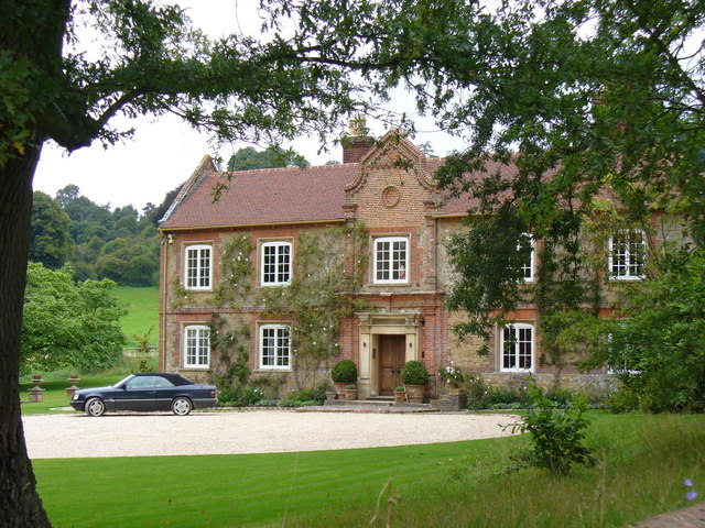
Chilworth Manor, Surrey
Chilworth Manor is a historic country house located midway between Chilworth, Surrey and St Martha's Hill to the north. The manor is grade II listed by...
Nearby Amenities
Located within 500m of 51.216457,-0.551789Have you been to East Shalford?
Leave your review of East Shalford below (or comments, questions and feedback).