Duporth
Settlement in Cornwall
England
Duporth
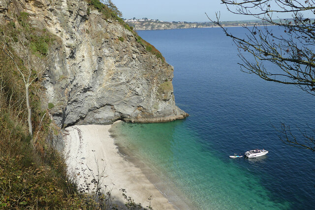
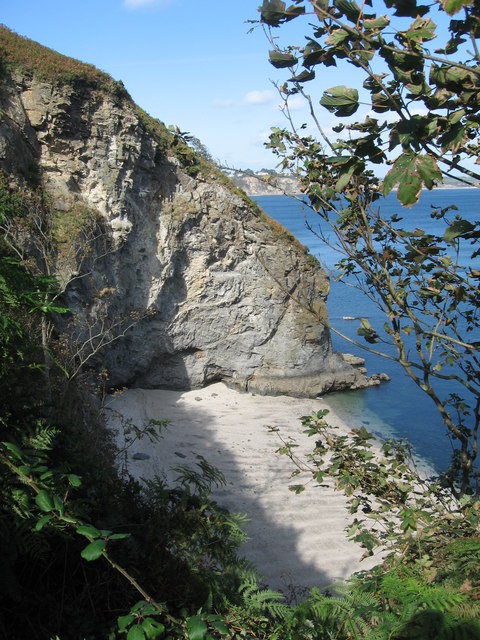
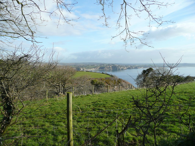
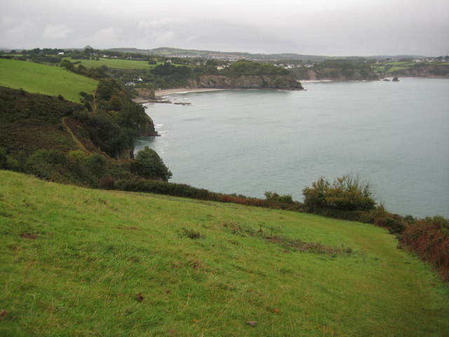
Duporth is a small village located on the southern coast of Cornwall, England. Situated just 2 miles southeast of the bustling town of St. Austell, Duporth offers a peaceful and idyllic retreat for residents and visitors alike. With its picturesque setting and stunning coastal views, it has become a popular destination for tourists seeking a tranquil getaway.
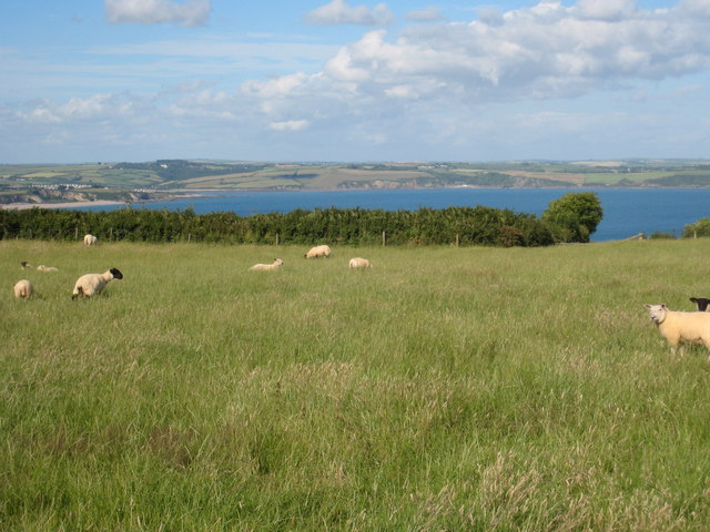
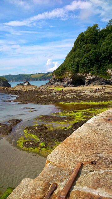
The village is known for its beautiful sandy beach, which is sheltered by cliffs and offers a safe and family-friendly environment for swimming and sunbathing. The crystal-clear waters attract water sports enthusiasts, with opportunities for kayaking and paddleboarding. The beach is also a great spot for rock pooling, allowing visitors to explore the diverse marine life that inhabits the area.
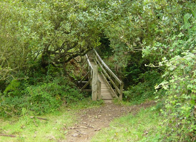
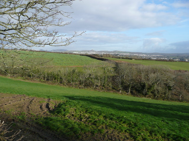
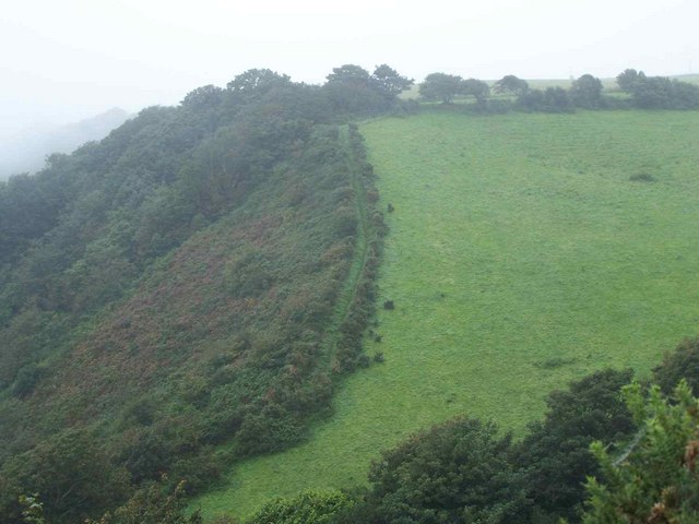
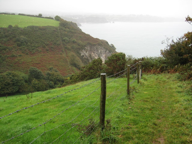
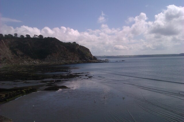
Surrounded by lush green hills, Duporth offers ample opportunities for outdoor activities such as hiking and cycling. The South West Coast Path, which passes through the village, provides breathtaking panoramic views of the coastline and is a favorite route for nature lovers and avid walkers.
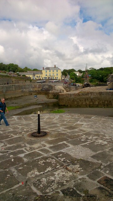
Despite its small size, Duporth has a vibrant community spirit, with a local pub and a handful of independent shops and cafes. The nearby town of St. Austell provides additional amenities, including supermarkets, restaurants, and entertainment venues.
In summary, Duporth is a charming coastal village in Cornwall that offers a peaceful escape from the hustle and bustle of city life. With its stunning beach, beautiful surroundings, and close proximity to St. Austell, it is a perfect destination for those seeking relaxation and outdoor adventures.
If you have any feedback on the listing, please let us know in the comments section below.
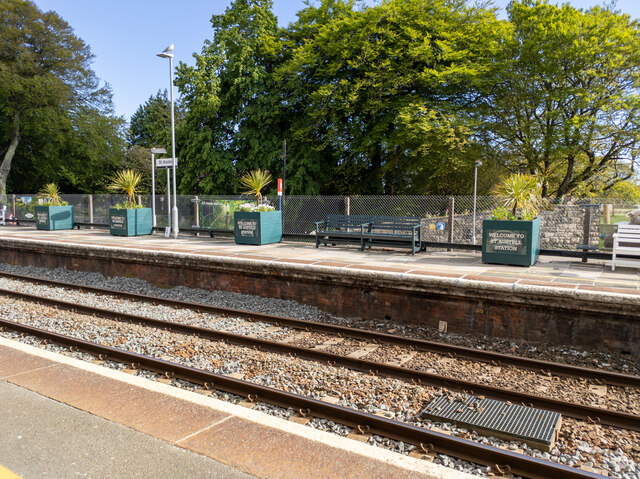
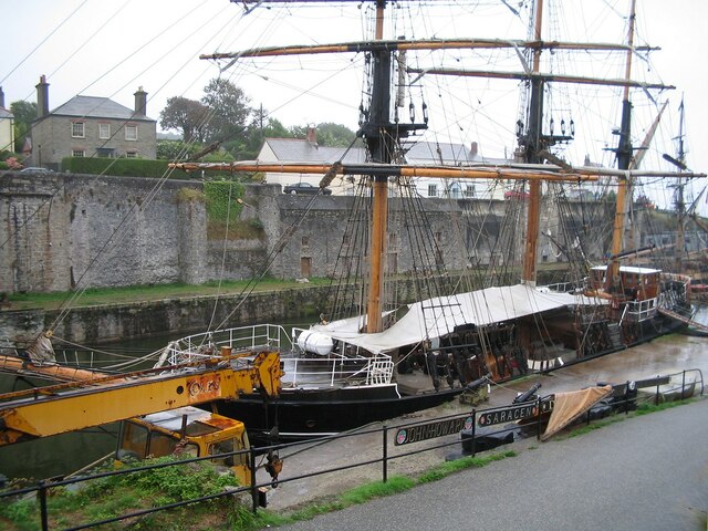
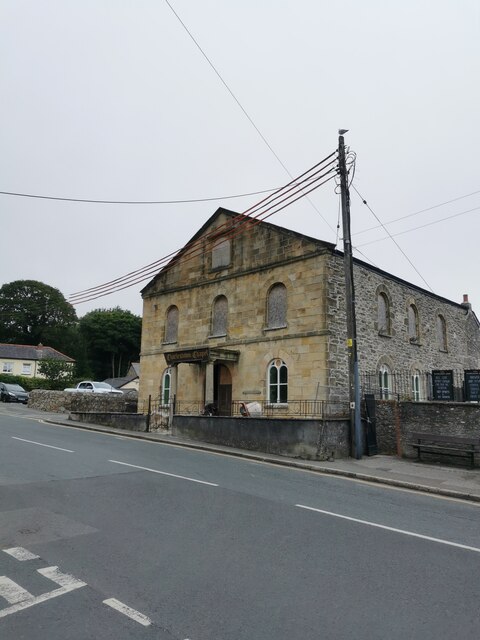
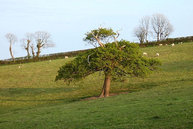
Duporth Images
Images are sourced within 2km of 50.330419/-4.7661308 or Grid Reference SX0351. Thanks to Geograph Open Source API. All images are credited.

Duporth is located at Grid Ref: SX0351 (Lat: 50.330419, Lng: -4.7661308)
Unitary Authority: Cornwall
Police Authority: Devon and Cornwall
What 3 Words
///hits.buyers.porridge. Near St Austell, Cornwall
Nearby Locations
Related Wikis

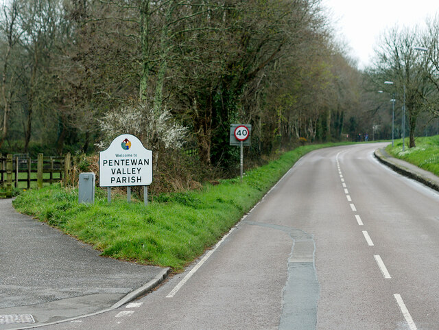
St Austell Bay
St Austell Bay (Cornish: Baya Ti war Dreth) is a bay on Cornwall's south coast which is bounded to the east by Gribbin Head and to the west by Black Head...

Duporth
Duporth (also Duporth Holiday Village) was situated on Porthpean Road, just outside St Austell in south Cornwall, England, UK. For over 50 years, it was...

Charlestown, Cornwall
Charlestown (Cornish: Porth Meur, meaning great cove) is a village and port on the south coast of Cornwall, England, in the civil parish of St Austell...
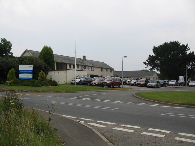
St Austell Community Hospital
St Austell Community Hospital is a health facility in Porthpean Road, St Austell, Cornwall, England. It is managed by Cornwall Partnership NHS Foundation...

Charlestown Shipwreck & Heritage Centre
The Shipwreck Treasure Museum (previously the Charlestown Shipwreck & Heritage Centre) located in the UNESCO World Heritage Site of Charlestown, Cornwall...

St Paul's Church, Charlestown
St Paul's Church is a Church of England church in Charlestown, Cornwall, England, UK. It was built in 1849-51 and has been Grade II listed since 1999....
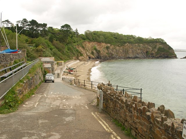
Lower Porthpean
Lower Porthpean is a coastal hamlet in Cornwall, England, UK. It is close to Higher Porthpean and one mile (1.6 km) south of St Austell. == Cornish... ==

Penrice Academy
Penrice Academy is an age 11-16 academy school and former specialist Language College in St Austell, Cornwall, England. 1,428 pupils attend the academy...
Nearby Amenities
Located within 500m of 50.330419,-4.7661308Have you been to Duporth?
Leave your review of Duporth below (or comments, questions and feedback).