Durborough
Settlement in Somerset Somerset West and Taunton
England
Durborough
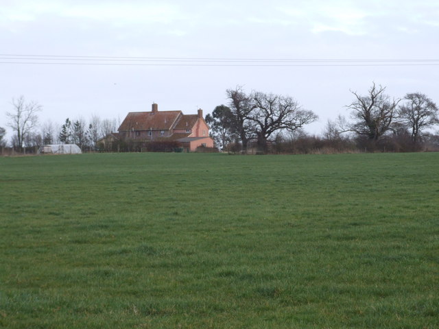
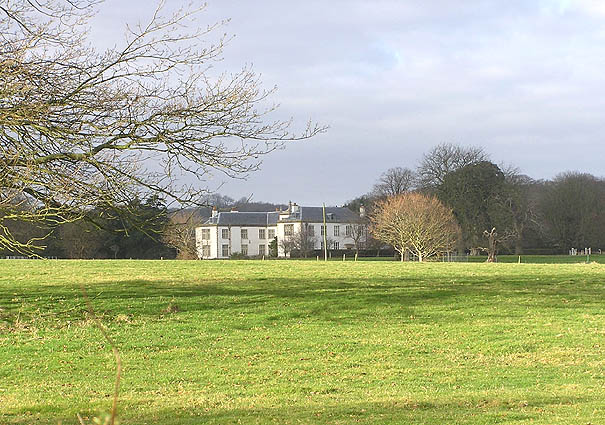
Durborough is a small village located in the county of Somerset, England. Situated in the heart of the Exmoor National Park, it rests on the eastern slopes of the Brendon Hills, offering breathtaking views of the surrounding countryside. The village is nestled within a valley, surrounded by lush green fields and dense woodlands, making it an idyllic setting for those seeking tranquility and a connection to nature.
With a population of just over 200 residents, Durborough maintains a close-knit community where neighbors know each other by name. The village is characterized by its charming, traditional stone cottages, many of which date back centuries. The quaint St. Mary's Church, a Grade II listed building, stands proudly at the heart of the village, serving as a focal point for religious and community gatherings.
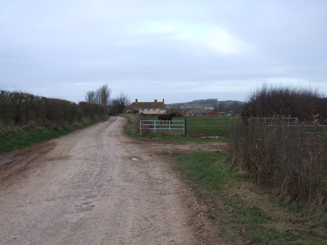
Despite its small size, Durborough offers a range of amenities to its residents. There is a well-regarded primary school, providing quality education to local children, as well as a village hall that hosts various social events throughout the year. The nearby market town of Minehead, located approximately five miles away, provides additional amenities such as supermarkets, shops, and healthcare facilities.
Durborough's location within the Exmoor National Park offers residents and visitors ample opportunities for outdoor activities. The surrounding hills and valleys are crisscrossed with footpaths and bridleways, making it an ideal location for hiking, cycling, and horseback riding. The nearby River Exe provides opportunities for fishing and water sports, while the moorland and wooded areas are perfect for wildlife enthusiasts and birdwatchers.
Overall, Durborough is a picturesque and tranquil village that offers a close community spirit and a deep connection to the stunning natural beauty of Somerset's countryside.
If you have any feedback on the listing, please let us know in the comments section below.
Durborough Images
Images are sourced within 2km of 51.167467/-3.1595127 or Grid Reference ST1941. Thanks to Geograph Open Source API. All images are credited.


Durborough is located at Grid Ref: ST1941 (Lat: 51.167467, Lng: -3.1595127)
Administrative County: Somerset
District: Somerset West and Taunton
Police Authority: Avon and Somerset
What 3 Words
///unearthly.flops.reframe. Near Nether Stowey, Somerset
Nearby Locations
Related Wikis

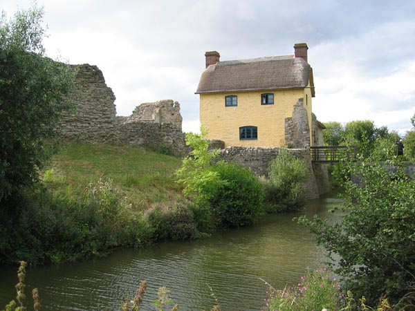
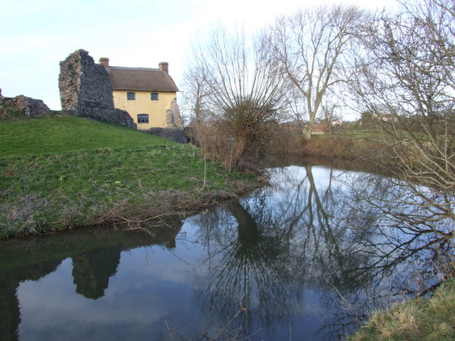
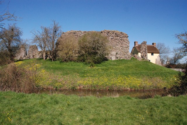
Stogursey Castle
Stogursey Castle is a medieval castle in Somerset, England. Most of the site is in ruins, but there is a thatched gatehouse used for holiday rental by...
Fairfield, Stogursey
Fairfield House is a historic house in Stogursey, Somerset, England. A house existed on the site from the 12th century and it has been owned by the same...

St Mary's Church, Stringston
The Anglican St Mary's Church at Stringston in the English county of Somerset dates from the 17th century. It has been designated as a Grade II listed...
Stringston
Stringston is a village and civil parish on the northern edge of the Quantock Hills in the English county of Somerset. The village is 10 miles (16 km)...
Nearby Amenities
Located within 500m of 51.167467,-3.1595127Have you been to Durborough?
Leave your review of Durborough below (or comments, questions and feedback).