Dinedor Camp

Heritage Site in Herefordshire

England

Dinedor Camp

Dinedor entrance sign
Dinedor entrance sign Credit: Alex McGregor

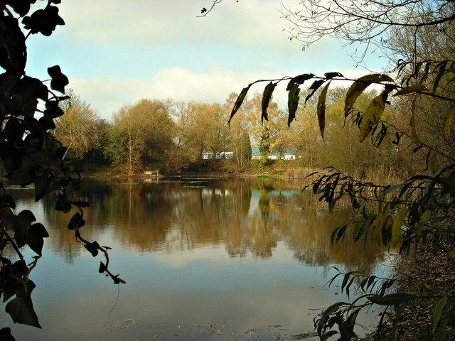
Dinedor Camp is an ancient hillfort located in Herefordshire, England. Situated on a prominent hilltop near the village of Dinedor, it overlooks the River Wye and offers panoramic views of the surrounding countryside. The camp is believed to have been constructed during the Iron Age, around 500 BC, and it served as a defensive settlement for the local community.

Covering an area of approximately 2 hectares, Dinedor Camp is enclosed by multiple earthworks and ramparts. The fortification consists of a massive inner ditch with a raised bank known as a rampart, providing an additional layer of defense. Archaeological excavations have revealed evidence of roundhouses and storage pits within the camp, suggesting that it was once a bustling settlement.

The site's strategic location and defensive features indicate its importance as a stronghold during ancient times. It is believed that Dinedor Camp played a significant role in protecting the local population and controlling trade routes in the region. The hillfort's commanding position also suggests that it may have been used for signaling and communication purposes.

Today, Dinedor Camp is recognized as a designated heritage site. It attracts visitors and history enthusiasts who are fascinated by the ancient past of Herefordshire. The site offers an opportunity to explore the remains of the hillfort and appreciate its historical significance. The breathtaking views from the hilltop further enhance the visitor experience, providing a glimpse into the landscape that would have been observed by the inhabitants of Dinedor Camp thousands of years ago.

If you have any feedback on the listing, please let us know in the comments section below.
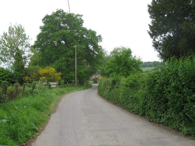
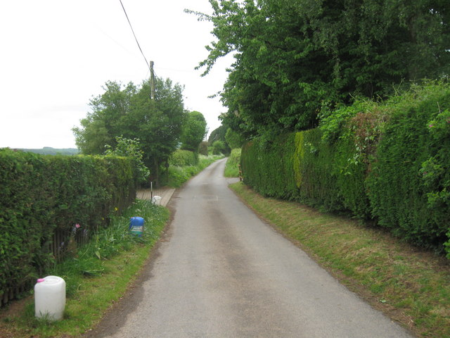
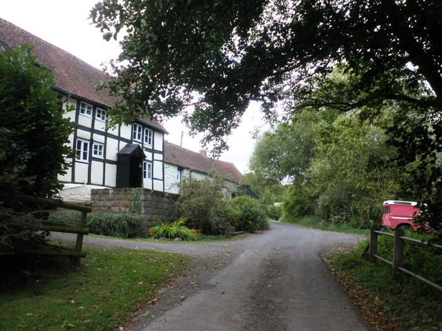
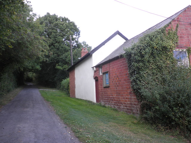
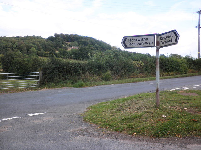
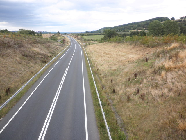
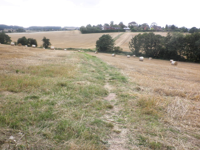
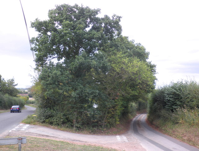
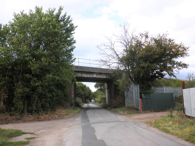
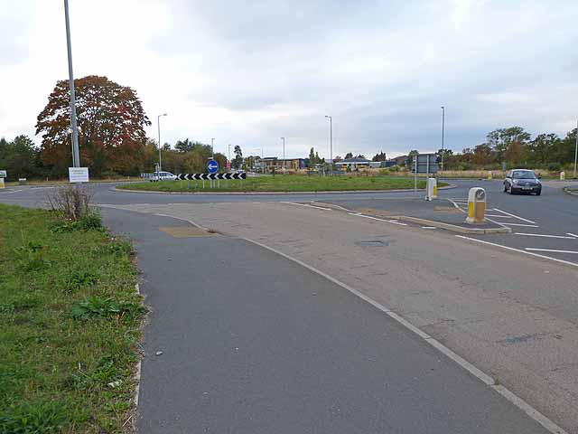
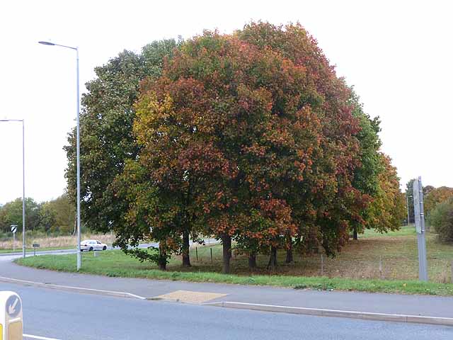
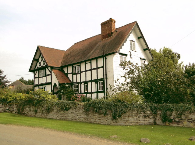
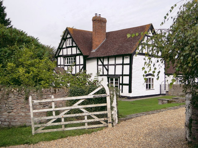
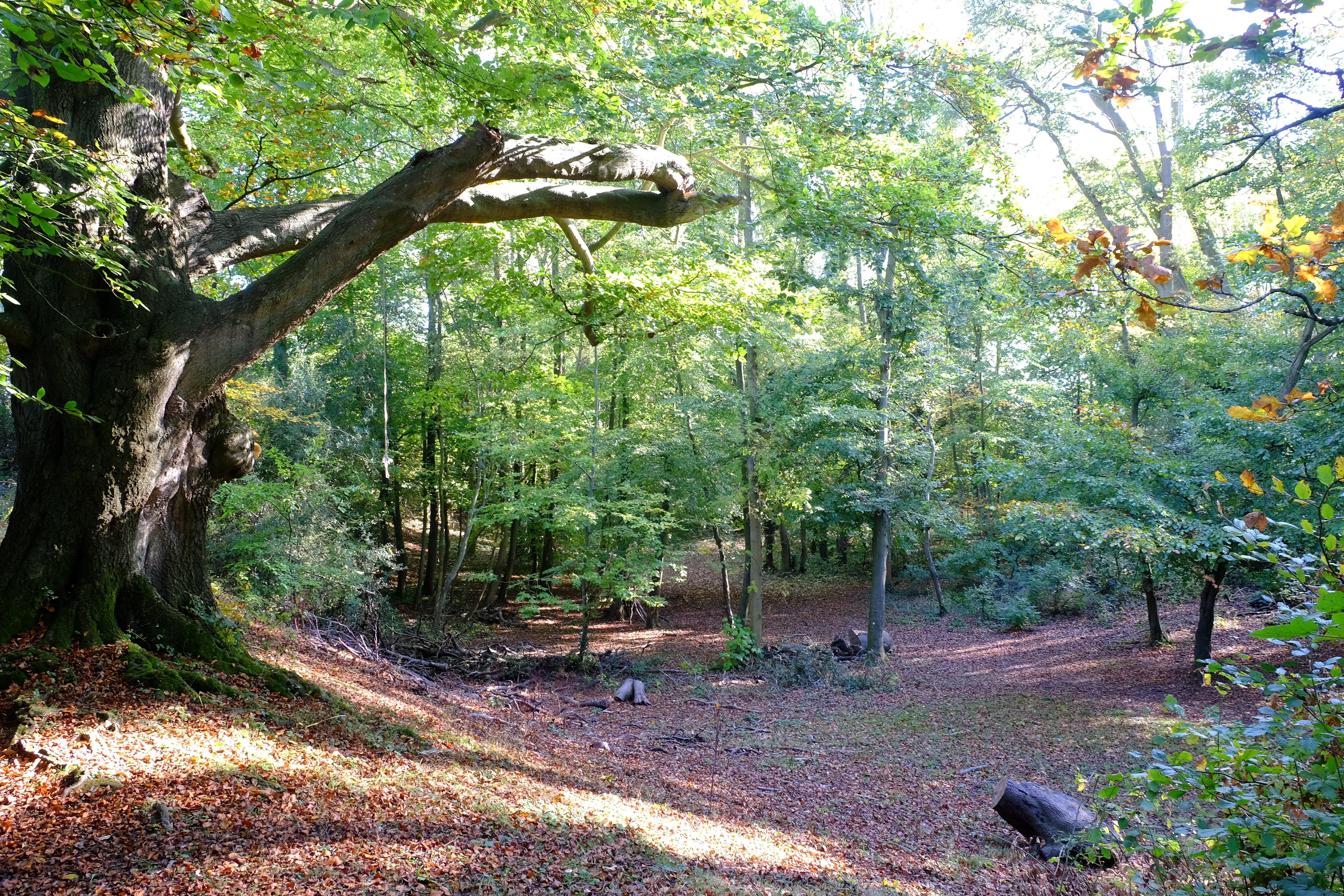
Dinedor Camp Images

Images are sourced within 2km of 52.0235/-2.6961 or Grid Reference SO5135. Thanks to Geograph Open Source API. All images are credited.

Dinedor entrance sign
Church Road, Dinedor
The Pastures, Hereford
Twyford Common
Twyford Common
Former chapel, Twyford Common
Minor road junction, Dinedor Common
Rotherwas access road, near Bullinghope
Fields of stubble, near Bullinghope
Road junction, south of Lower Bullingham
Railway overbridge, Lower Bullingham
Rotherwas Roundabout This roundabout lies at the eastern end of the Rotherwas Industrial Estate. The road coming in from the left is the new access road from the A49 completed in 2008. It has been designated the B4399, replacing the old road straight ahead which goes through Hinton and Lower Bullingham.
Rotherwas Roundabout
This roundabout lies at the eastern end of the Rotherwas Industrial Estate. The road coming in from the left is the new access road from the A49 completed in 2008. It has been designated the B4399, replacing the old road straight ahead which goes through Hinton and Lower Bullingham.
Autumn colours at Rotherwas By the new Rotherwas roundabout.
Autumn colours at Rotherwas
By the new Rotherwas roundabout.
Lake at Rotherwas (autumn view)
St Peter, Bullinghope A new build of 1878-80 by F.R. Kempson with a later tower. It replaces the old church, whose remains can be seen just down the road.
St Peter, Bullinghope
A new build of 1878-80 by F.R. Kempson with a later tower. It replaces the old church, whose remains can be seen just down the road.
Church House, Bullinghope A 17th century box frame, extended and re-roofed in the early 19th century, I guess. A beautiful house in a delightful, if windy, rural location, but for how much longer as Hereford threatens to encroach.
Church House, Bullinghope
A 17th century box frame, extended and re-roofed in the early 19th century, I guess. A beautiful house in a delightful, if windy, rural location, but for how much longer as Hereford threatens to encroach.
Bullinghope House Charming L-shaped timber framed house coming up for 400 years old. Clearly, they don't shut the gate.
Bullinghope House
Charming L-shaped timber framed house coming up for 400 years old. Clearly, they don't shut the gate.
Show me another place!

Dinedor Camp is located at Grid Ref: SO5135 (Lat: 52.0235, Lng: -2.6961)

Unitary Authority: County of Herefordshire

Police Authority: West Merica

What 3 Words

///hairpin.chatted.exits. Near Lower Bullingham, Herefordshire

Related Wikis

Dinedor Hill

Dinedor Hill is situated 2.5 miles south of Hereford. It is the site of Dinedor Camp, an Iron Age hillfort. More specifically a promontory fort. It is...

Dinedor Camp

Dinedor Camp is an Iron Age hillfort, about 1 kilometre (0.6 mi) west of the village of Dinedor and about 3 kilometres (1.9 mi) south of Hereford in England...

Lower Bullingham

Lower Bullingham is a village and civil parish in Herefordshire, England. The main village, Lower Bullingham, is a south-eastern suburb of Hereford....

Dinedor

Dinedor is a hill, village and civil parish in Herefordshire, England. Dinedor is situated 5 km (3.1 mi) south east of Hereford. The hilltop is the site...

ROF Rotherwas

ROF Rotherwas was a Royal Ordnance Factory filling factory, No 4, located in Rotherwas, Dinedor Parish, Herefordshire, England. == Background == In the...

Herefordshire Archive and Records Centre

Herefordshire Archive and Records Centre holds the archives for the county of Herefordshire. The archives are held at Fir Tree Lane, Rotherwas, Hereford...

Rotherwas Chapel

Rotherwas Chapel is a family chapel, once belonging to the Bodenham family. It is now state-owned and administered by English Heritage. The chapel contains...

Hereford (UK Parliament constituency)

Hereford was, until 2010, a constituency of the House of Commons of the Parliament of the United Kingdom. Since 1918, it had elected one Member of Parliament...

Nearby Amenities

Located within 500m of 52.0235,-2.6961
Dinedor Camp
Ele: 200
Natural: peak
Lat/Long: 52.0233151/-2.6969837
Barrier: stile
Lat/Long: 52.0255503/-2.6966473
Barrier: stile
Lat/Long: 52.026116/-2.6957284
Power: pole
Lat/Long: 52.0271396/-2.6920987
Power: pole
Lat/Long: 52.0274557/-2.6940641
Power: pole
Lat/Long: 52.0206458/-2.7003957
Power: pole
Lat/Long: 52.0200722/-2.6995897
Power: pole
Lat/Long: 52.0193641/-2.6985879
Power: pole
Lat/Long: 52.0215074/-2.7016202
Power: pole
Lat/Long: 52.0258875/-2.691092
Barrier: stile
Source: survey
Lat/Long: 52.026798/-2.6916139
Barrier: stile
Lat/Long: 52.0265743/-2.6925495
Barrier: kissing_gate
Source: survey
Lat/Long: 52.0238991/-2.6932238
Barrier: stile
Source: survey
Lat/Long: 52.0247125/-2.6925221
Barrier: stile
Source: survey
Lat/Long: 52.0247551/-2.6928037
Generator Method: photovoltaic
Generator Output Electricity: yes
Generator Source: solar
Generator Type: solar_photovoltaic_panel
Location: roof
Power: generator
Lat/Long: 52.0214876/-2.6980716
Generator Method: photovoltaic
Generator Output Electricity: yes
Generator Source: solar
Generator Type: solar_photovoltaic_panel
Location: roof
Power: generator
Lat/Long: 52.0215652/-2.6969799
Barrier: stile
Lat/Long: 52.0254371/-2.6968172
Power: pole
Lat/Long: 52.0262277/-2.6927997
Power: pole
Lat/Long: 52.0263993/-2.6945499
Power: pole
Lat/Long: 52.0265479/-2.6962772
Power: pole
Lat/Long: 52.0274275/-2.6995575
Power: pole
Lat/Long: 52.0202022/-2.7010334
Power: pole
Lat/Long: 52.0231612/-2.7031437
Power: pole
Lat/Long: 52.0239854/-2.7022589
The Grove
Power: pole
Transformer: distribution
Voltage Primary: 11000
Lat/Long: 52.0248071/-2.7018864
Power: pole
Lat/Long: 52.0258654/-2.7014411
The Nest
Power: pole
Transformer: distribution
Voltage Primary: 11000
Lat/Long: 52.0260589/-2.7012178
Power: pole
Lat/Long: 52.0263399/-2.7009194
Well Cottage
Power: pole
Transformer: distribution
Voltage Primary: 11000
Lat/Long: 52.0268342/-2.7003917
Power: pole
Lat/Long: 52.0271775/-2.700098
Power: pole
Lat/Long: 52.0271725/-2.6973608
Power: pole
Lat/Long: 52.0274613/-2.698482
Power: pole
Lat/Long: 52.0269439/-2.696465
BBC Transmitter Station
Power: pole
Transformer: distribution
Voltage Primary: 11000
Lat/Long: 52.0250303/-2.6945043
Power: pole
Lat/Long: 52.0256542/-2.6945016
Hillside Dinedor
Power: pole
Transformer: distribution
Voltage Primary: 11000
Lat/Long: 52.0217731/-2.6984541
Dinedor South
Power: pole
Transformer: distribution
Voltage Primary: 11000
Lat/Long: 52.0213782/-2.6998774
Power: pole
Lat/Long: 52.0217207/-2.6993725
Power: pole
Lat/Long: 52.0221061/-2.6988206
Power: pole
Lat/Long: 52.0226062/-2.6993705
Power: pole
Lat/Long: 52.0230337/-2.6998124
The Homestead
Power: pole
Transformer: distribution
Voltage Primary: 11000
Lat/Long: 52.0234352/-2.699807
Power: pole
Lat/Long: 52.0245414/-2.6993624
Power: pole
Lat/Long: 52.0239526/-2.6997473
Power: pole
Lat/Long: 52.0249556/-2.6990922
Camp Wood
Power: pole
Transformer: distribution
Voltage Primary: 11000
Lat/Long: 52.0251298/-2.6987985
Power: pole
Lat/Long: 52.0254978/-2.6982687
Power: pole
Lat/Long: 52.0257454/-2.697511
The Chestnuts
Power: pole
Transformer: distribution
Voltage Primary: 11000
Lat/Long: 52.0260057/-2.6967513
Power: pole
Lat/Long: 52.0261344/-2.6958051
Power: pole
Lat/Long: 52.0262859/-2.694627
Camp Farm
Power: pole
Transformer: distribution
Voltage Primary: 11000
Lat/Long: 52.0274918/-2.6952613
Power: pole
Lat/Long: 52.0268746/-2.6949374
Power: pole
Lat/Long: 52.0268004/-2.6936071
Power: pole
Lat/Long: 52.0267162/-2.6920836
Power: pole
Lat/Long: 52.027826/-2.6963644
The data included in this document is from www.openstreetmap.org. The data is made available under ODbL.

Have you been to Dinedor Camp?

Leave your review of Dinedor Camp below (or comments, questions and feedback).