Dinduff

Settlement in Wigtownshire

Scotland

Dinduff

Leswalt Parish Church This large striking building, dating from 1828, could almost be mistaken for a house. It is not the first church in the village - originally there was a medieval church located somewhere nearby. <span class="nowrap"><a title="http://www.undiscoveredscotland.co.uk/leswalt/leswalt/index.html" rel="nofollow ugc noopener" href="http://www.undiscoveredscotland.co.uk/leswalt/leswalt/index.html">Link</a><img style="margin-left:2px;" alt="External link" title="External link - shift click to open in new window" src="https://s1.geograph.org.uk/img/external.png" width="10" height="10"/></span>
Leswalt Parish Church Credit: Oliver Dixon

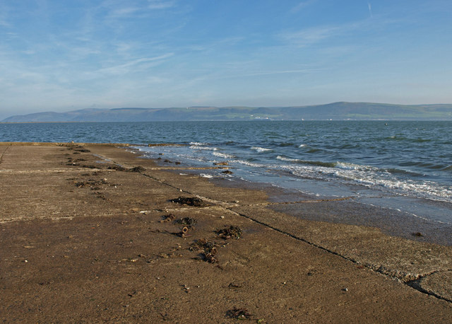
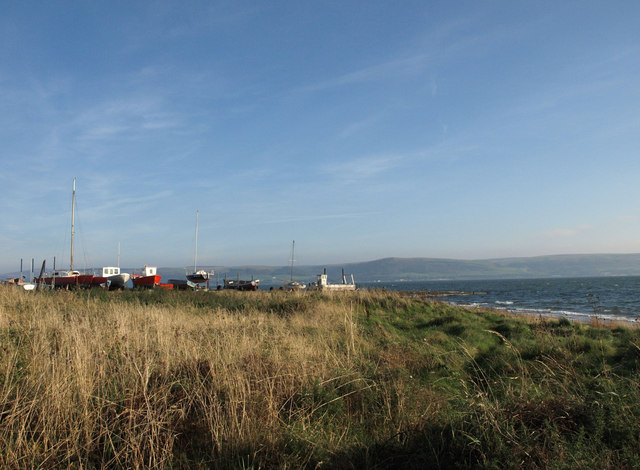
Dinduff is a small village located in the region of Wigtownshire, in the southwestern part of Scotland. Nestled amidst picturesque landscapes, this rural community is situated near the shores of the Irish Sea, offering stunning views and a tranquil atmosphere. With a population of around 200 residents, Dinduff is known for its close-knit community and friendly locals.

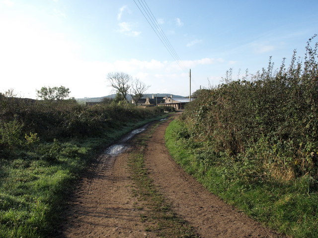
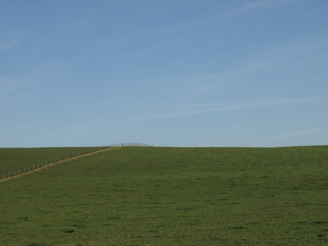
The village is characterized by its charming stone cottages, which exude a traditional Scottish charm. The surrounding countryside is a haven for nature lovers, with rolling hills, lush green fields, and meandering streams. Dinduff is also home to diverse wildlife, making it a popular destination for birdwatching and nature enthusiasts.

While primarily an agricultural area, Dinduff has seen some small-scale development, including a village hall that serves as a hub for community activities and events. The village also boasts a local pub, providing a cozy gathering place for both residents and visitors.

Situated a few miles away from larger towns like Wigtown and Stranraer, Dinduff offers a peaceful retreat away from the hustle and bustle of city life. The village provides easy access to nearby attractions, including beautiful beaches, historic sites, and nature reserves.

In summary, Dinduff is a charming village in Wigtownshire that offers a serene and idyllic setting for those seeking a rural Scottish experience. With its beautiful landscapes, welcoming community, and proximity to other attractions, Dinduff is a hidden gem waiting to be discovered.

If you have any feedback on the listing, please let us know in the comments section below.

Dinduff Images

Images are sourced within 2km of 54.939345/-5.0846425 or Grid Reference NX0264. Thanks to Geograph Open Source API. All images are credited.

Leswalt Parish Church This large striking building, dating from 1828, could almost be mistaken for a house. It is not the first church in the village - originally there was a medieval church located somewhere nearby. <span class="nowrap"><a title="http://www.undiscoveredscotland.co.uk/leswalt/leswalt/index.html" rel="nofollow ugc noopener" href="http://www.undiscoveredscotland.co.uk/leswalt/leswalt/index.html">Link</a><img style="margin-left:2px;" alt="External link" title="External link - shift click to open in new window" src="https://s1.geograph.org.uk/img/external.png" width="10" height="10"/></span>
Leswalt Parish Church
This large striking building, dating from 1828, could almost be mistaken for a house. It is not the first church in the village - originally there was a medieval church located somewhere nearby. LinkExternal link
Cottage on Ervie Road, Leswalt
Bennett's Four Wheel Centre, Leswalt I thought they all had four wheels!
Bennett's Four Wheel Centre, Leswalt
I thought they all had four wheels!
Building site, Leswalt A lot of new building is going on in the north-east sector of Leswalt
Building site, Leswalt
A lot of new building is going on in the north-east sector of Leswalt
Stranraer Golf Club A championship course. See <span class="nowrap"><a title="http://www.stranraergolfclub.net/" rel="nofollow ugc noopener" href="http://www.stranraergolfclub.net/">Link</a><img style="margin-left:2px;" alt="External link" title="External link - shift click to open in new window" src="https://s1.geograph.org.uk/img/external.png" width="10" height="10"/></span>
Stranraer Golf Club
A championship course. See LinkExternal link
Glen Road, Leswalt B7043 westward out of Leswalt towards Lochnaw.
Glen Road, Leswalt
B7043 westward out of Leswalt towards Lochnaw.
Roundabout near Leswalt B798 in the foreground. The A718 from Kirkcolm comes in from the left and turns left at the roundabout towards Stranraer.
Roundabout near Leswalt
B798 in the foreground. The A718 from Kirkcolm comes in from the left and turns left at the roundabout towards Stranraer.
New house, Leswalt There is a lot of new development in the north-east sector of Leswalt.
New house, Leswalt
There is a lot of new development in the north-east sector of Leswalt.
Stranraer Golf Club A championship course. See <span class="nowrap"><a title="http://www.stranraergolfclub.net/" rel="nofollow ugc noopener" href="http://www.stranraergolfclub.net/">Link</a><img style="margin-left:2px;" alt="External link" title="External link - shift click to open in new window" src="https://s1.geograph.org.uk/img/external.png" width="10" height="10"/></span>
Stranraer Golf Club
A championship course. See LinkExternal link
Slipway, The Rhins Looking over to Cairnryan.
Slipway, The Rhins
Looking over to Cairnryan.
Slipway, The Rhins
Slipway, The Rhins
Cottage near Soleburn, The Rhins
Wooded Bank, The Rhins Near Low Salchrie.
Wooded Bank, The Rhins
Near Low Salchrie.
Beach , The Rhins Near Low Salchrie.
Beach , The Rhins
Near Low Salchrie.
Black Cows, The Rhins Near Dinduff.
Black Cows, The Rhins
Near Dinduff.
Yellow Farmhouse, The Rhins
Balwherrie Farm, The Rhins
Fence and Field, The Rhins Balwherrie farmland.
Fence and Field, The Rhins
Balwherrie farmland.
Show me another place!

Dinduff is located at Grid Ref: NX0264 (Lat: 54.939345, Lng: -5.0846425)

Unitary Authority: Dumfries and Galloway

Police Authority: Dumfries and Galloway

What 3 Words

///rotations.control.bend. Near Stranraer, Dumfries & Galloway

Related Wikis

Leswalt

Leswalt (Scottish Gaelic: Lios Uillt) is a village and civil parish in Dumfries and Galloway, south-west Scotland. It lies between Portpatrick and Stranraer...

RAF Wig Bay

Royal Air Force Wig Bay, or more simply RAF Wig Bay, is a former Royal Air Force station near Stranraer, Dumfries and Galloway, Scotland The following...

Kirkcolm

Kirkcolm (Scots: Kirkcoam) is a village and civil parish on the northern tip of the Rhinns of Galloway peninsula, south-west Scotland. It is in Dumfries...

Ervie

Ervie is a small village in Dumfries and Galloway, Scotland, in the Rhins of Galloway, just outside Stranraer.

Stranraer railway station

Stranraer railway station (formerly known as Stranraer Harbour railway station) is a railway station that serves the town of Stranraer, Dumfries and Galloway...

Loch Ryan

Loch Ryan (Scottish Gaelic: Loch Rìoghaine, pronounced [l̪ˠɔx ˈrˠiː.ɛɲə]) is a Scottish sea loch that acts as an important natural harbour for shipping...

Cairnryan Harbour

Cairnryan Harbour is a roll-on ferry terminal on Loch Ryan in south west Scotland north of Stranraer. In World War II it was developed as an emergency...

Old Town Hall, Stranraer

The Old Town Hall is a municipal structure in George Street, Stranraer, Dumfries and Galloway, Scotland. The structure, which is used as a local history...

Related Videos

ONWARDS TO LESWALT

Hello Jamie here and with another video. It's been a couple of days since posting my Stranraer holiday. I'd posted Kirkcolm to ...

LESWALT LOOP RIDE IN MOTION

Hello Jamie here and with another video. So back when I was on my Stranraer holiday, I did a couple of rides, filmed with my go ...

LESWALT TO QUARTER ACRE

Hello Jamie here and with another video. This is my final part of my massive half Marathon walk, walking from Leswalt to Quarter ...

Nearby Amenities

Located within 500m of 54.939345,-5.0846425
Dinduff
Place: hamlet
Lat/Long: 54.9380058/-5.0827007
Power: pole
Lat/Long: 54.9424959/-5.0881156
Power: pole
Lat/Long: 54.9418966/-5.0876141
Power: pole
Lat/Long: 54.9406085/-5.0865465
Power: pole
Lat/Long: 54.9398813/-5.0859457
Power: pole
Lat/Long: 54.9359907/-5.0814691
Power: pole
Lat/Long: 54.9374345/-5.0831898
Power: pole
Lat/Long: 54.9381202/-5.0840347
Power: pole
Lat/Long: 54.9386448/-5.0846837
Power: pole
Lat/Long: 54.9391672/-5.0853355
Power: pole
Lat/Long: 54.9367388/-5.0823846
Power: pole
Lat/Long: 54.9375208/-5.0812894
Power: pole
Lat/Long: 54.9382558/-5.0802702
Power: pole
Lat/Long: 54.9389694/-5.0792857
Power: pole
Lat/Long: 54.9397597/-5.0782011
Power: pole
Lat/Long: 54.9404825/-5.0771776
Power: pole
Lat/Long: 54.939525/-5.0801731
Power: pole
Lat/Long: 54.9402276/-5.0812225
The data included in this document is from www.openstreetmap.org. The data is made available under ODbL.

Have you been to Dinduff?

Leave your review of Dinduff below (or comments, questions and feedback).