Dinedor Cross Common
Downs, Moorland in Herefordshire
England
Dinedor Cross Common
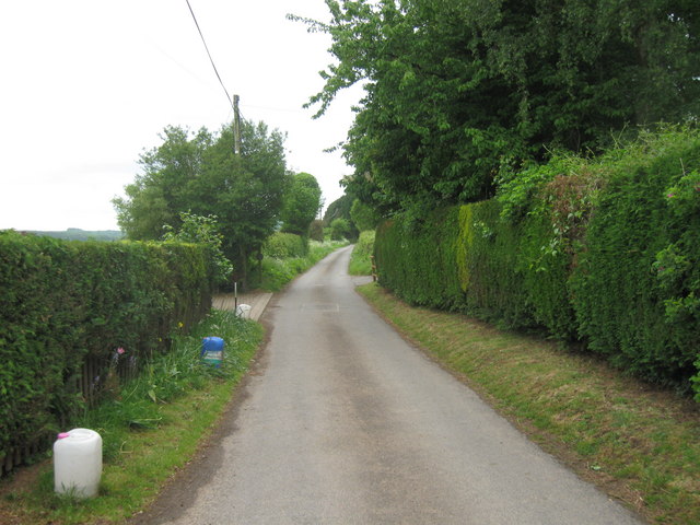
Dinedor Cross Common is a picturesque area located in Herefordshire, England. It is characterized by its stunning downs and moorland landscapes, offering visitors a serene and natural escape. Spanning over a vast expanse of land, this common is a haven for wildlife and nature enthusiasts alike.
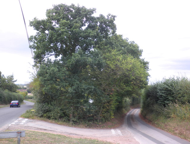
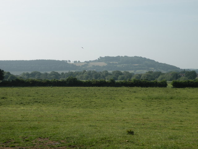
The common is dominated by rolling hills and open grasslands, providing sweeping views of the surrounding countryside. The downs are covered in a patchwork of heather, bracken, and wildflowers, creating a vibrant and colorful scenery throughout the year. This diverse habitat supports a wide range of wildlife, including various bird species, small mammals, and insects.
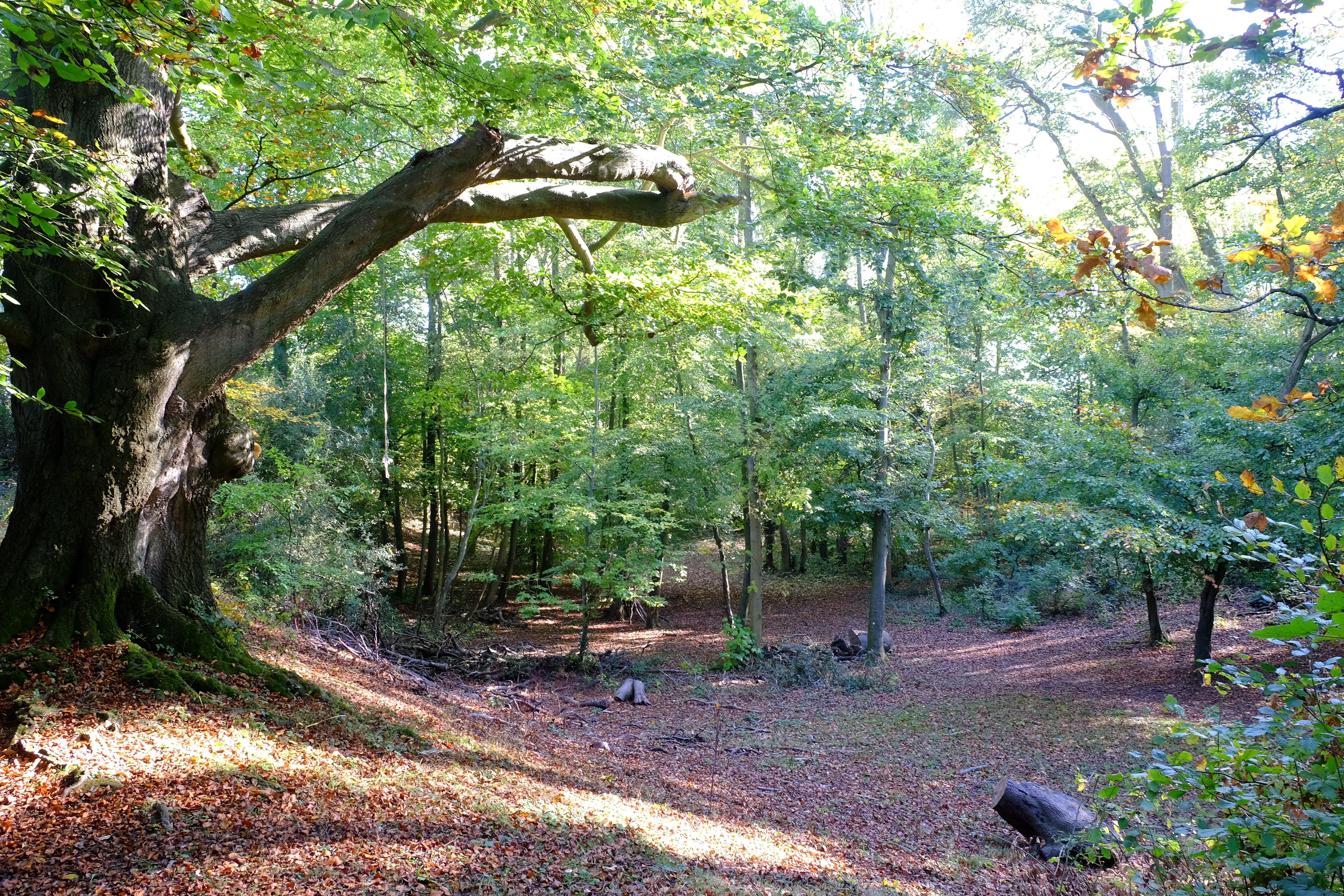
Walking trails crisscross the common, offering visitors the opportunity to explore its natural beauty. The trails wind through the downs and moorland, leading hikers to hidden valleys, babbling brooks, and ancient woodlands. It is not uncommon to spot grazing livestock, such as sheep and ponies, adding to the rural charm of the area.
Dinedor Cross Common is also steeped in history, with evidence of human habitation dating back thousands of years. Archaeological sites, including burial mounds and ancient settlements, can be found scattered across the common, providing a glimpse into the region's past.
Overall, Dinedor Cross Common offers a tranquil and idyllic setting for those seeking a peaceful retreat in the heart of Herefordshire's natural beauty. Whether it's for a leisurely stroll, bird watching, or simply immersing oneself in the serene surroundings, this common is a true gem for nature lovers.
If you have any feedback on the listing, please let us know in the comments section below.
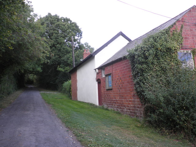
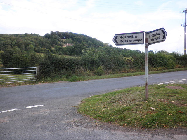
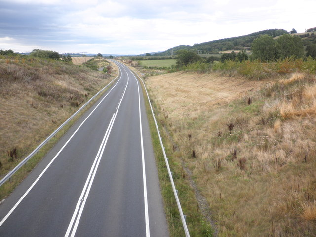
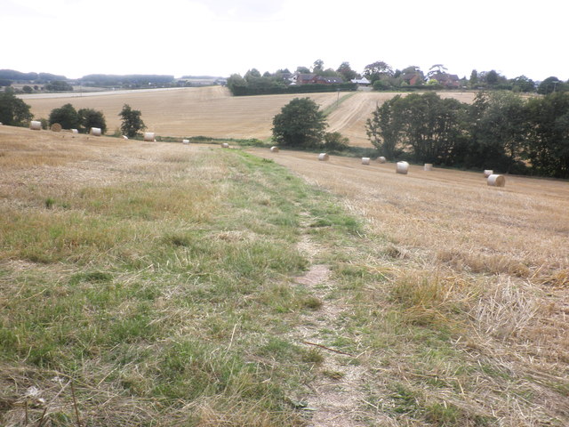
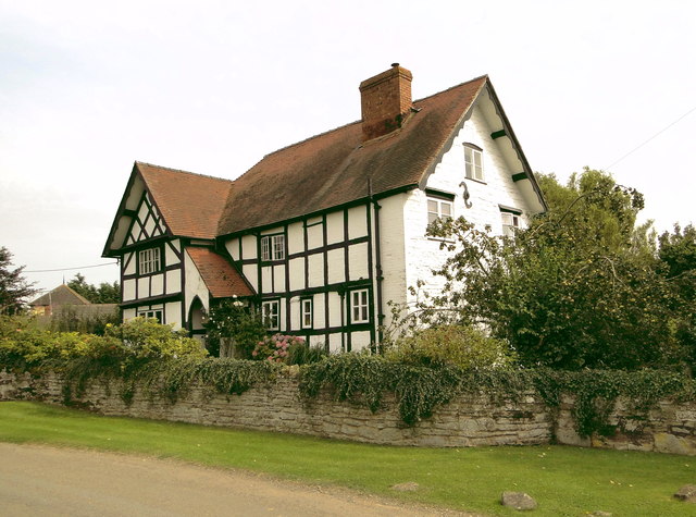
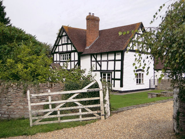
Dinedor Cross Common Images
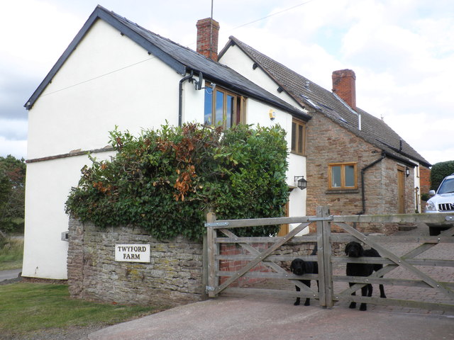
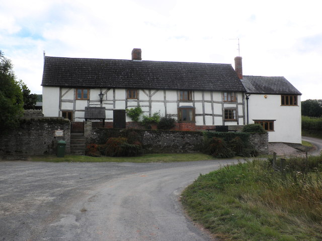
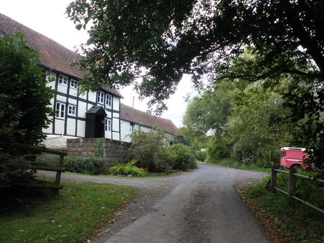
Images are sourced within 2km of 52.018671/-2.703575 or Grid Reference SO5135. Thanks to Geograph Open Source API. All images are credited.


Dinedor Cross Common is located at Grid Ref: SO5135 (Lat: 52.018671, Lng: -2.703575)
Unitary Authority: County of Herefordshire
Police Authority: West Mercia
What 3 Words
///glosses.majoring.wakes. Near Lower Bullingham, Herefordshire
Nearby Locations
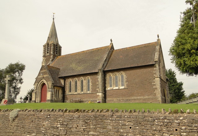
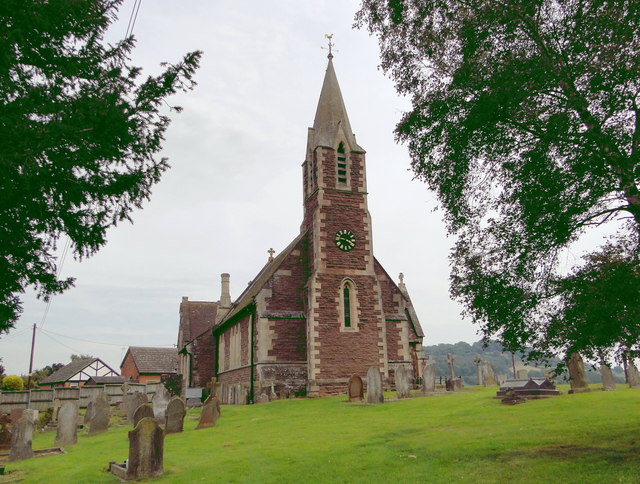
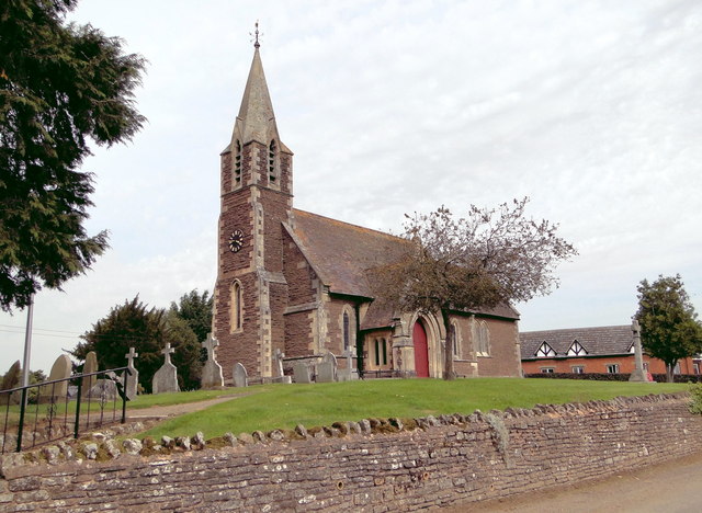
Related Wikis

Dinedor Hill
Dinedor Hill is situated 2.5 miles south of Hereford. It is the site of Dinedor Camp, an Iron Age hillfort. More specifically a promontory fort. It is...
Dinedor Camp
Dinedor Camp is an Iron Age hillfort, about 1 kilometre (0.6 mi) west of the village of Dinedor and about 3 kilometres (1.9 mi) south of Hereford in England...

Lower Bullingham
Lower Bullingham is a village and civil parish in Herefordshire, England. The main village, Lower Bullingham, is a south-eastern suburb of Hereford....

Dinedor
Dinedor is a hill, village and civil parish in Herefordshire, England. Dinedor is situated 5 km (3.1 mi) south east of Hereford. The hilltop is the site...
Nearby Amenities
Located within 500m of 52.018671,-2.703575Have you been to Dinedor Cross Common?
Leave your review of Dinedor Cross Common below (or comments, questions and feedback).