South Park

Downs, Moorland in Lancashire Lancaster

England

South Park

Gibson Wood With a healthy looking holly understorey.
Gibson Wood Credit: Richard Webb

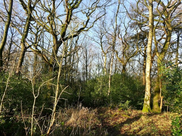
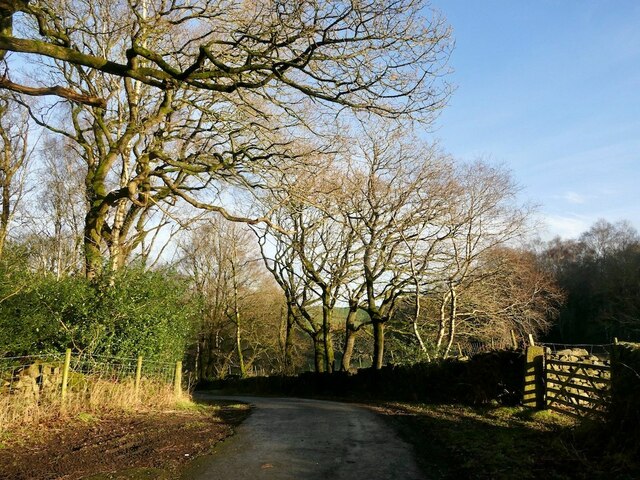
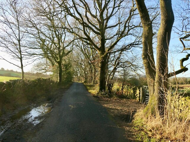
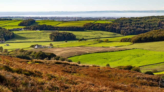
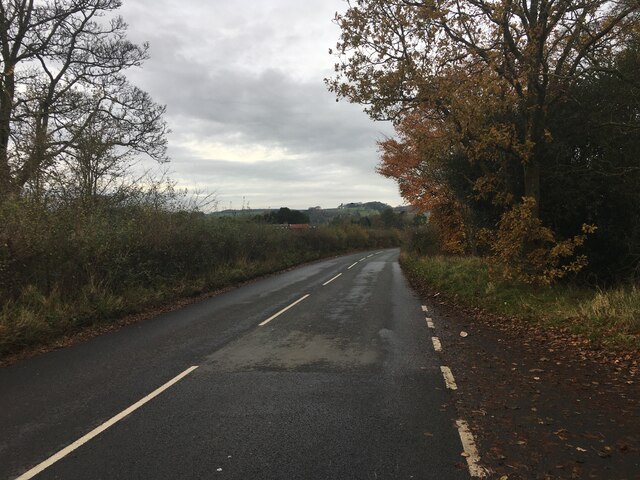
South Park is a small village located in the county of Lancashire in England. Situated amidst picturesque Downs and Moorland, it offers a serene and scenic setting for residents and visitors alike. With its tranquil atmosphere and stunning natural beauty, South Park is a popular destination for those seeking to escape the hustle and bustle of city life.

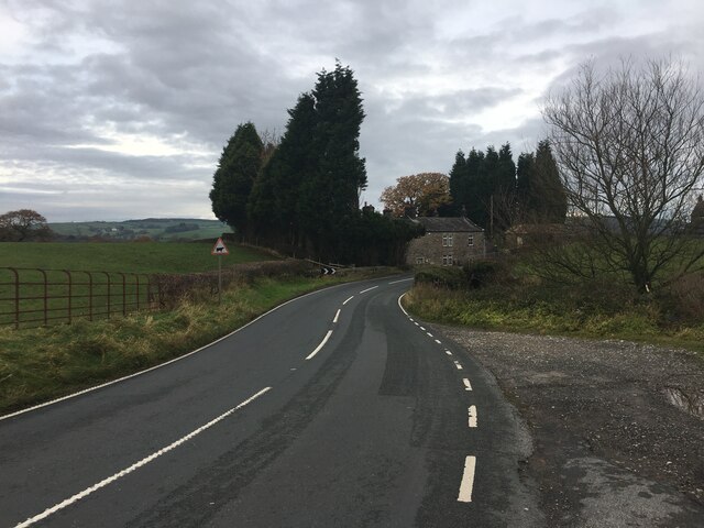
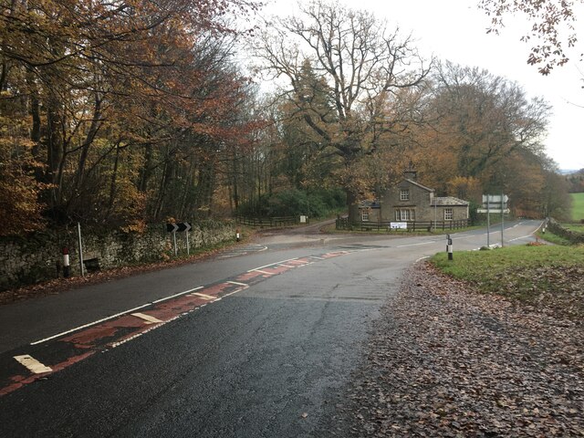
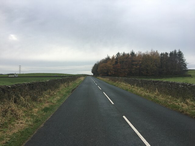
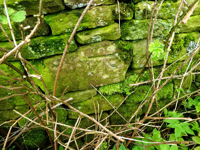
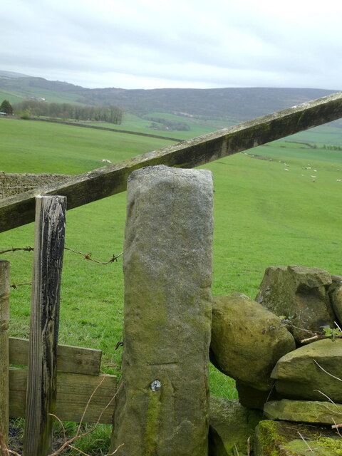
The village is characterized by its charming cottages and traditional buildings, which add to the area's rustic charm. The surrounding Downs and Moorland provide ample opportunities for outdoor activities such as hiking, cycling, and horseback riding, making it a haven for nature enthusiasts.

South Park is also known for its rich history, with traces of its past evident in the architecture and landmarks scattered throughout the village. The local church, for example, dates back several centuries and stands as a testament to the area's heritage.

Despite its relatively small size, South Park has a close-knit community that takes pride in its village. The residents are friendly and welcoming, creating a warm and inviting atmosphere for visitors. The village has a few local amenities, including a cozy pub and a village hall where community events are held.

In summary, South Park, Lancashire, is a charming village nestled amidst Downs and Moorland. Its natural beauty, outdoor recreational opportunities, rich history, and friendly community make it an idyllic destination for those seeking a peaceful and authentic English countryside experience.

If you have any feedback on the listing, please let us know in the comments section below.
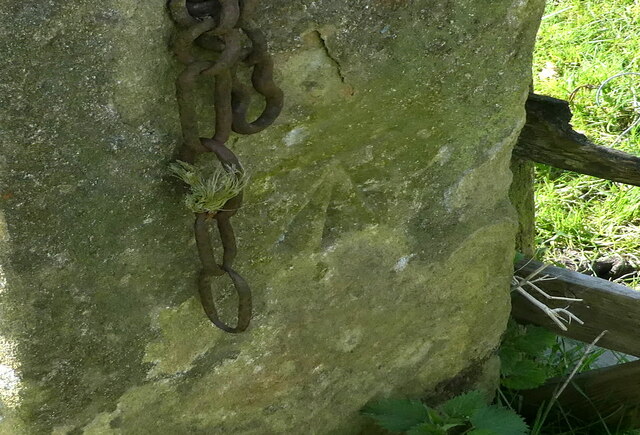
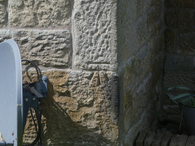
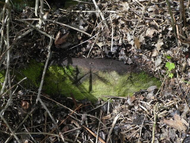
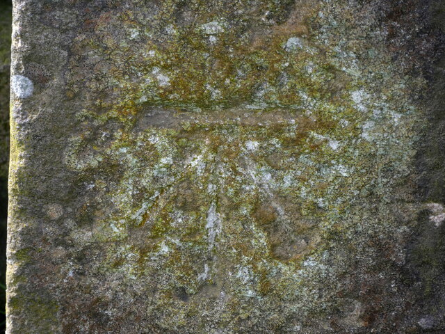
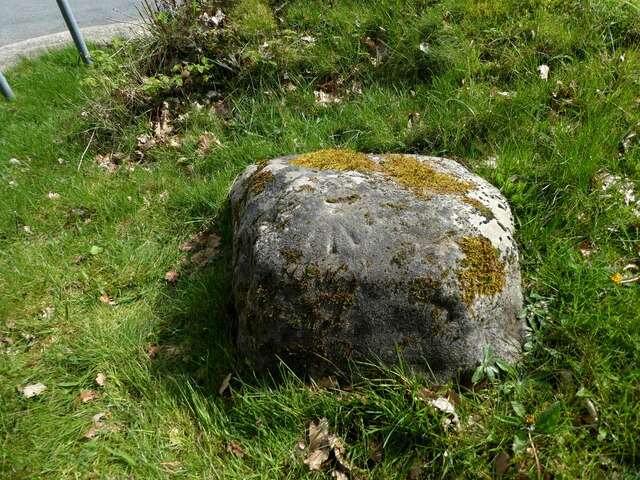
South Park Images

Images are sourced within 2km of 54.05502/-2.7375555 or Grid Reference SD5162. Thanks to Geograph Open Source API. All images are credited.

Gibson Wood With a healthy looking holly understorey.
Gibson Wood
With a healthy looking holly understorey.
Rigg Lane Passing Gibson Wood.
Rigg Lane
Passing Gibson Wood.
Rigg Lane
Rigg Lane
Askew Hill Askew Hill Farm.
Askew Hill
Askew Hill Farm.
Minor road towards Caton
Minor road near Deys Farm
Quernmore Road
Quernmore Road
Quernmore Road
Quernmore Road
Road near Recess Plantation
OS Bench Mark Ordnance Survey cut bench mark from the 19th century levelling, on stone wall. 358.5 feet above old datum.
OS Bench Mark
Ordnance Survey cut bench mark from the 19th century levelling, on stone wall. 358.5 feet above old datum.
OS Bench Mark Ordnance Survey cut bench mark from the 19th century levelling, on stone gatepost. 396.9 feet above old datum.
OS Bench Mark
Ordnance Survey cut bench mark from the 19th century levelling, on stone gatepost. 396.9 feet above old datum.
OS Bench Mark Ordnance Survey cut bench mark from the 20th century levelling, on stone gatepost, with Forest of Bowland in the background. 126.279 m above datum.
OS Bench Mark
Ordnance Survey cut bench mark from the 20th century levelling, on stone gatepost, with Forest of Bowland in the background. 126.279 m above datum.
OS Bench Mark Ordnance Survey cut bench mark from the 19th century levelling on stone gatepost on east side of road. Rather crudely cut. 333.6 feet above old datum.
OS Bench Mark
Ordnance Survey cut bench mark from the 19th century levelling on stone gatepost on east side of road. Rather crudely cut. 333.6 feet above old datum.
OS Bench Mark Ordnance Survey cut bench mark from the 19th century levelling on stone gatepost on westside of road. Eroded - horizontal bar is unclear. 193.9 feet above old datum.
OS Bench Mark
Ordnance Survey cut bench mark from the 19th century levelling on stone gatepost on westside of road. Eroded - horizontal bar is unclear. 193.9 feet above old datum.
OS Bench Mark Ordnance Survey cut bench mark from the 19th century levelling on corner of Tilery Cottages. 208.8 feet above old datum.
OS Bench Mark
Ordnance Survey cut bench mark from the 19th century levelling on corner of Tilery Cottages. 208.8 feet above old datum.
OS Bench Mark Ordnance Survey rivet bench mark from the 19th century levelling on stone trough on west side of road. Some gardening was needed to find it. The trough itself is completed hidden. 279.2 feet above old datum.
OS Bench Mark
Ordnance Survey rivet bench mark from the 19th century levelling on stone trough on west side of road. Some gardening was needed to find it. The trough itself is completed hidden. 279.2 feet above old datum.
OS Bench Mark Ordnance Survey cut bench mark from the 19th century levelling on stone gatepost on north side of road. Eroded and hard to see. 406.7 feet above old datum.
OS Bench Mark
Ordnance Survey cut bench mark from the 19th century levelling on stone gatepost on north side of road. Eroded and hard to see. 406.7 feet above old datum.
OS Bench Mark Ordnance Survey rivet bench mark from the 20th century levelling on boulder south of road junction. The rivet has disappeared. 90.358 m above datum. See also <a href="https://www.geograph.org.uk/photo/3928235">SD5162 : Ordnance Survey Rivet/Pivot</a>
OS Bench Mark
Ordnance Survey rivet bench mark from the 20th century levelling on boulder south of road junction. The rivet has disappeared. 90.358 m above datum. See also SD5162 : Ordnance Survey Rivet/Pivot
Show me another place!

South Park is located at Grid Ref: SD5162 (Lat: 54.05502, Lng: -2.7375555)

Administrative County: Lancashire

District: Lancaster

Police Authority: Lancashire

What 3 Words

///wreck.flaunting.vocals. Near Caton, Lancashire

Related Wikis

Quernmore Park

Quernmore Park Hall is a grade II* listed Georgian country house which stands in a 20-acre estate in the village of Quernmore, part of the City of Lancaster...

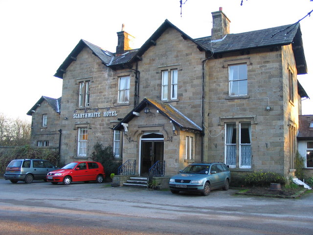
The Scarthwaite Hotel

The Scarthwaite Country House Hotel at Crook O’Lune near Caton in Lancashire is a house of historical significance. It was built in 1858 by Adam Hodgson...

St Peter's Church, Quernmore

St Peter's Church is in the village of Quernmore, Lancashire, England. It is an active Anglican parish church in the deanery of Lancaster and Morecambe...

HM Prison Lancaster Farms

HM Prison Lancaster Farms is a category C male prison, located on the outskirts of Lancaster, Lancashire, England. The prison is operated by His Majesty...

Nearby Amenities

Located within 500m of 54.05502,-2.7375555
Bus Stop
Postern Gate Lodge
Bench: no
Naptan AtcoCode: 2500LAA00014
Naptan Bearing: N
Naptan CommonName: Postern Gate Lodge
Naptan Indicator: by
Naptan Landmark: Postern Gate Lodge
Naptan LocalityCode: E0047446
Naptan NaptanCode: langtdgm
Naptan Street: Postern Gate Road
Naptan Verified: yes
Physically Present: no
Public Transport: platform
Ref: langtdgm
Shelter: no
Lat/Long: 54.0524844/-2.743758
Bus Stop
Postern Gate
Bench: no
Naptan AtcoCode: 2500892
Naptan Bearing: NE
Naptan CommonName: Postern Gate
Naptan Indicator: o/s
Naptan Landmark: Postern Gate
Naptan LocalityCode: E0047446
Naptan NaptanCode: landagmj
Naptan Street: Quernmore Road
Naptan Verified: yes
Physically Present: no
Public Transport: platform
Ref: landagmj
Shelter: no
Lat/Long: 54.0527013/-2.7436949
Give Way
Direction: forward
Lat/Long: 54.0526723/-2.7437526
Give Way
Direction: forward
Lat/Long: 54.0526439/-2.7436051
Generator Method: photovoltaic
Generator Orientation: east
Generator Output Electricity: yes
Generator Solar Modules: 13
Generator Source: solar
Generator Type: solar_photovoltaic_panel
Location: roof
Power: generator
Lat/Long: 54.0512372/-2.7411648
The data included in this document is from www.openstreetmap.org. The data is made available under ODbL.

Have you been to South Park?

Leave your review of South Park below (or comments, questions and feedback).