St Pauls Priory
Heritage Site in Lancashire Lancaster
England
St Pauls Priory
St Paul's Priory, located in Lancashire, is a notable heritage site that holds great historical and architectural significance. Originally founded in the 12th century, the priory was established as a religious community for Augustinian canons, a Catholic order of priests. The priory played a vital role in the spiritual and social life of the local community for several centuries.
The priory's architecture is a testament to its medieval origins. The main building, constructed in the Gothic style, features stunning stone carvings, intricate arches, and beautiful stained glass windows. The interior of the priory boasts a grand nave, a chancel, and a cloister, all of which have been meticulously preserved.
Throughout its history, St Paul's Priory witnessed various renovations and additions. In the 16th century, during the Dissolution of the Monasteries, the priory was dissolved and its assets were seized by the crown. The building was then converted into a private residence, and later served as a school and a hospital.
Today, St Paul's Priory is managed by a heritage trust and is open to the public. Visitors can explore the priory's grounds, admire its architectural beauty, and learn about its rich history through informative displays and exhibitions. The site also hosts cultural events, such as concerts and art exhibitions, making it a vibrant hub for the local community.
St Paul's Priory stands as a cherished heritage site, offering visitors a glimpse into Lancashire's medieval past and serving as a reminder of the region's religious and architectural heritage.
If you have any feedback on the listing, please let us know in the comments section below.
St Pauls Priory Images
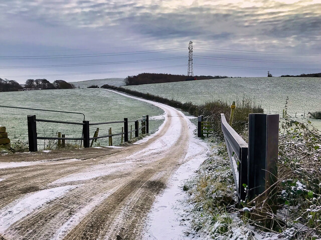
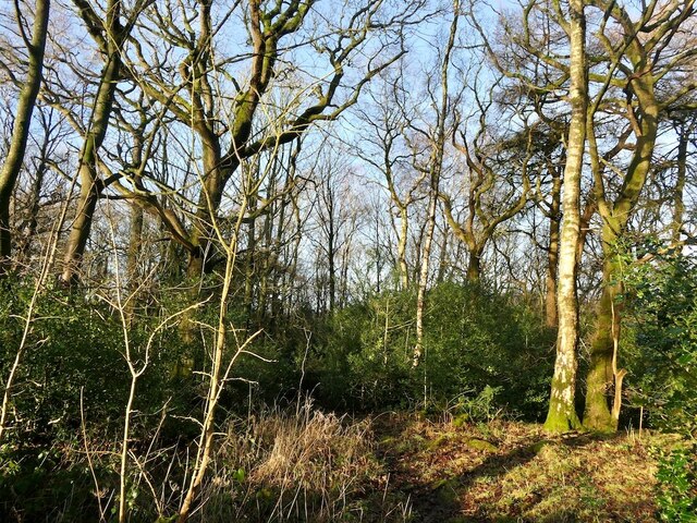
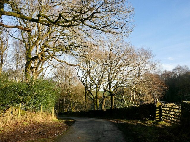
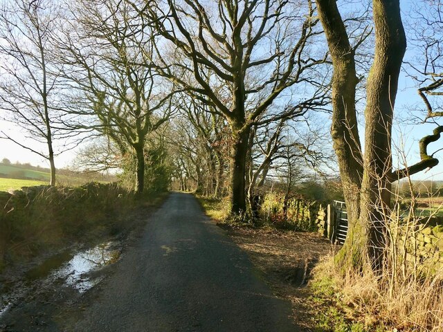
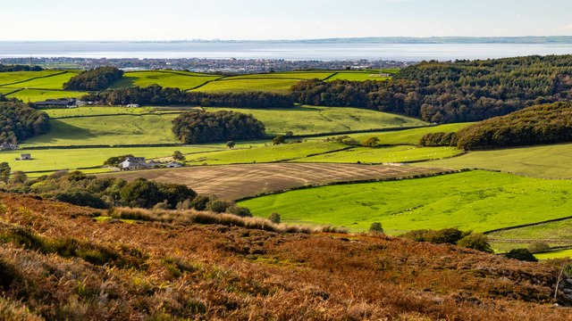
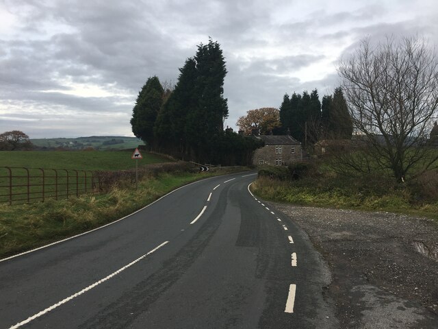
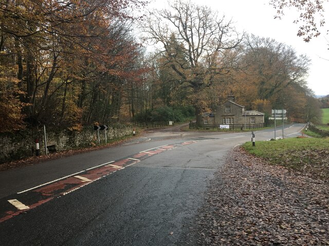
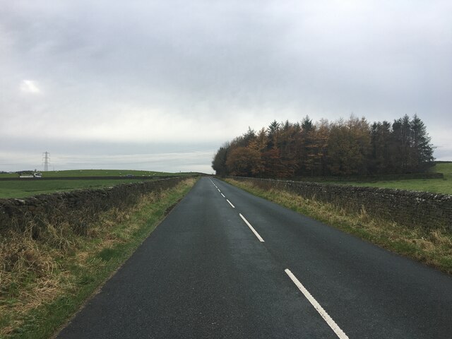
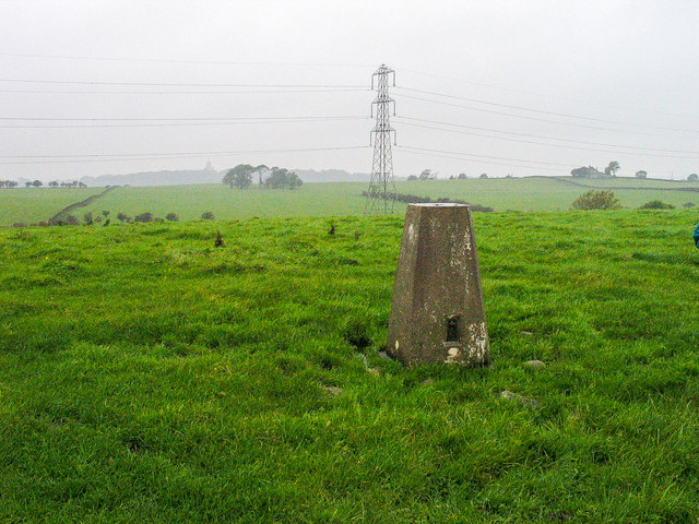
Images are sourced within 2km of 54.055/-2.742 or Grid Reference SD5162. Thanks to Geograph Open Source API. All images are credited.


St Pauls Priory is located at Grid Ref: SD5162 (Lat: 54.055, Lng: -2.742)
Administrative County: Lancashire
District: Lancaster
Police Authority: Lancashire
What 3 Words
///rumbles.uncouth.diplomat. Near Caton, Lancashire
Nearby Locations
Related Wikis

Quernmore Park
Quernmore Park Hall is a grade II* listed Georgian country house which stands in a 20-acre estate in the village of Quernmore, part of the City of Lancaster...
HM Prison Lancaster Farms
HM Prison Lancaster Farms is a category C male prison, located on the outskirts of Lancaster, Lancashire, England. The prison is operated by His Majesty...

St Peter's Church, Quernmore
St Peter's Church is in the village of Quernmore, Lancashire, England. It is an active Anglican parish church in the deanery of Lancaster and Morecambe...

Lancaster Moor Hospital
Lancaster Moor Hospital, formerly the Lancaster County Lunatic Asylum and Lancaster County Mental Hospital, was a mental hospital in Lancaster, Lancashire...
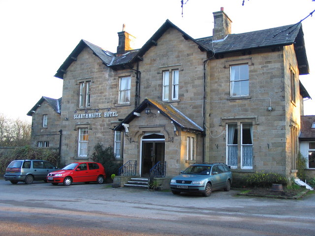
The Scarthwaite Hotel
The Scarthwaite Country House Hotel at Crook O’Lune near Caton in Lancashire is a house of historical significance. It was built in 1858 by Adam Hodgson...
North West England
North West England (North West Region) is one of nine official regions of England and consists of the ceremonial counties of Cheshire, Cumbria, Greater...
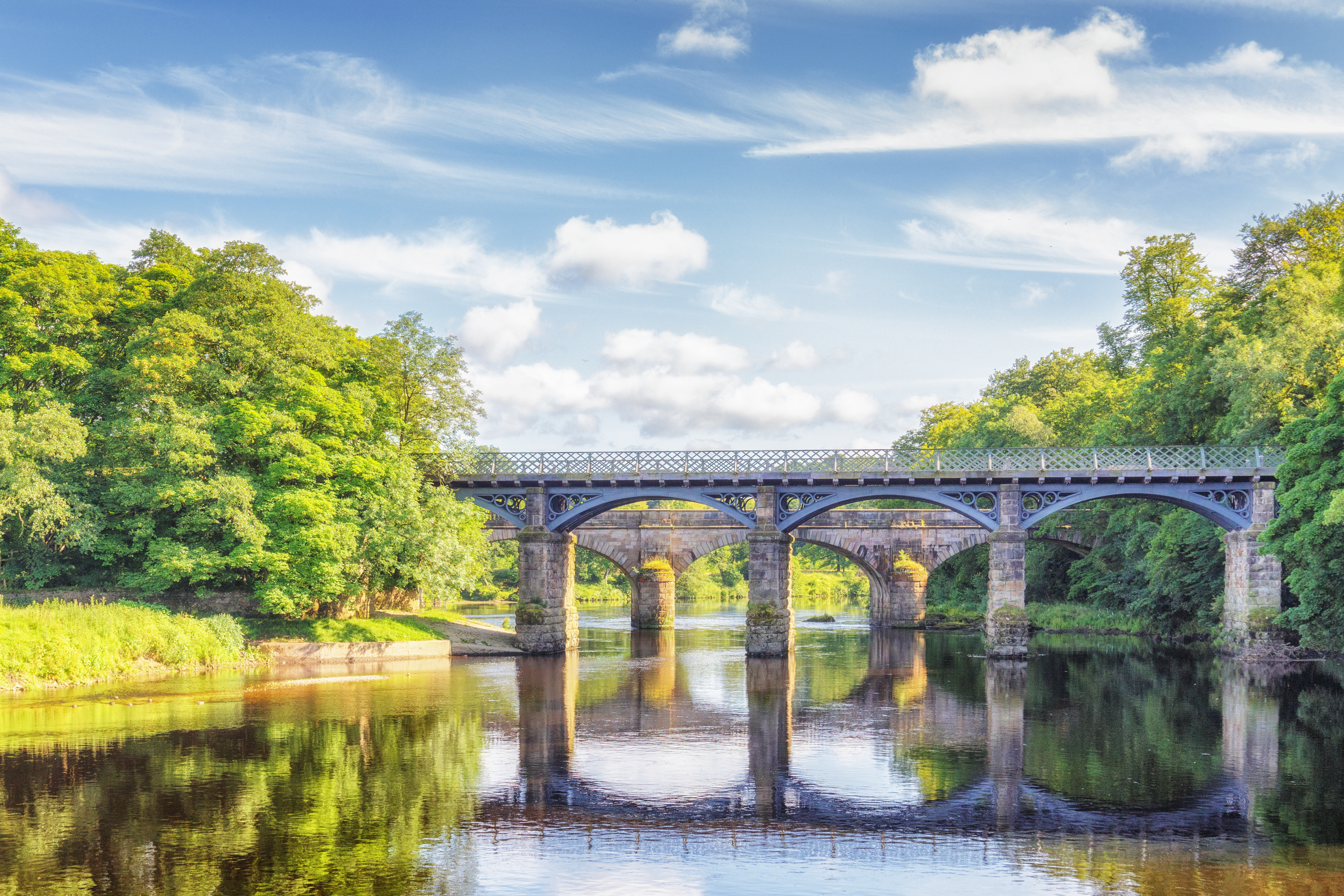
Crook o' Lune
The Crook o' Lune or Crook of Lune, about three miles north-east of Lancaster, Lancashire, is a horseshoe bend of the River Lune, which here meanders through...
Lancaster Cemetery Chapels
The Lancaster Cemetery Chapels are the three chapels, each built to serve a different denomination, in the main cemetery of Lancaster, England. The chapels...
Nearby Amenities
Located within 500m of 54.055,-2.742Have you been to St Pauls Priory?
Leave your review of St Pauls Priory below (or comments, questions and feedback).