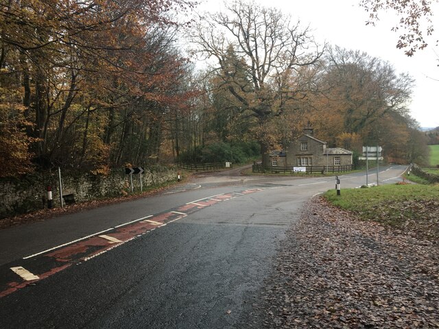
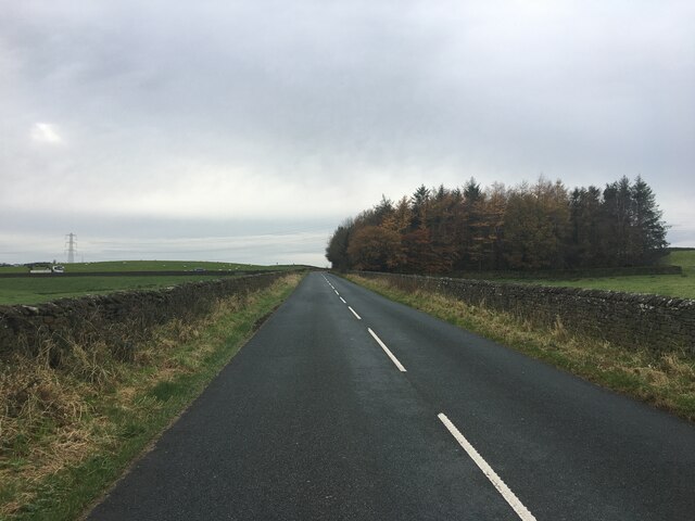
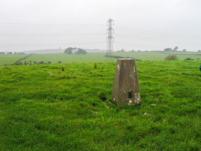
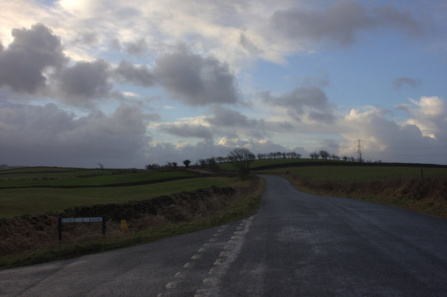
Knots Wood
Wood, Forest in Lancashire Lancaster
England
Knots Wood
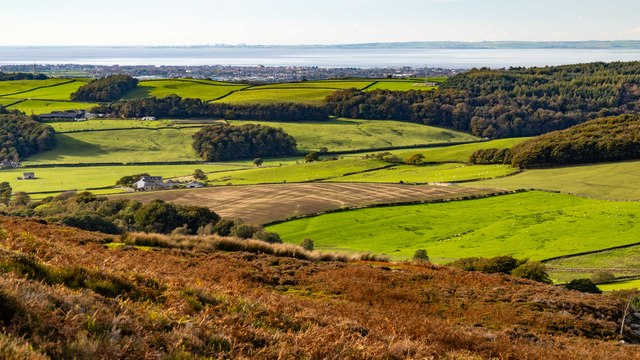
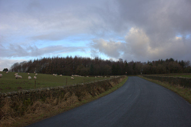
Knots Wood is a picturesque forest located in the county of Lancashire, England. Covering an area of approximately 100 acres, this woodland gem is nestled amidst the rolling hills and lush green landscape of the region. It is situated near the small village of Wood, hence its common name "Knots Wood, Lancashire."
The woodland boasts a diverse range of tree species, including oak, beech, birch, and ash, which provide a rich canopy and create a tranquil and serene atmosphere. The forest floor is adorned with a tapestry of wildflowers and ferns, adding to its natural beauty.
Knots Wood is a haven for wildlife enthusiasts as it is home to a multitude of animal species. Visitors may catch a glimpse of roe deer, foxes, badgers, and a variety of bird species, such as woodpeckers and owls. The forest also supports a thriving ecosystem of smaller creatures, such as squirrels, rabbits, and numerous insect species.
The wood offers various walking trails and paths, allowing visitors to explore its enchanting surroundings. These trails cater to different levels of fitness and provide opportunities for both leisurely strolls and more challenging hikes. Additionally, there are designated picnic areas where visitors can relax and enjoy a meal amidst the natural splendor.
Knots Wood, Lancashire, is a popular destination for nature enthusiasts, photographers, and those seeking a peaceful escape from the bustle of everyday life. Its idyllic setting, abundant wildlife, and well-maintained trails make it a perfect destination for a day trip or a weekend getaway in the heart of Lancashire's countryside.
If you have any feedback on the listing, please let us know in the comments section below.
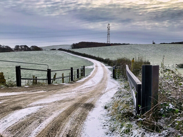
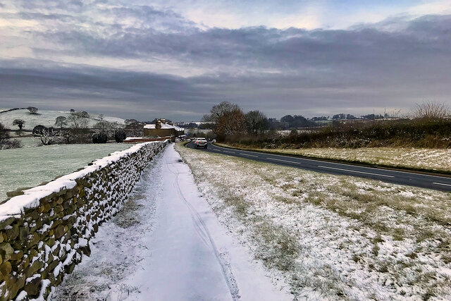
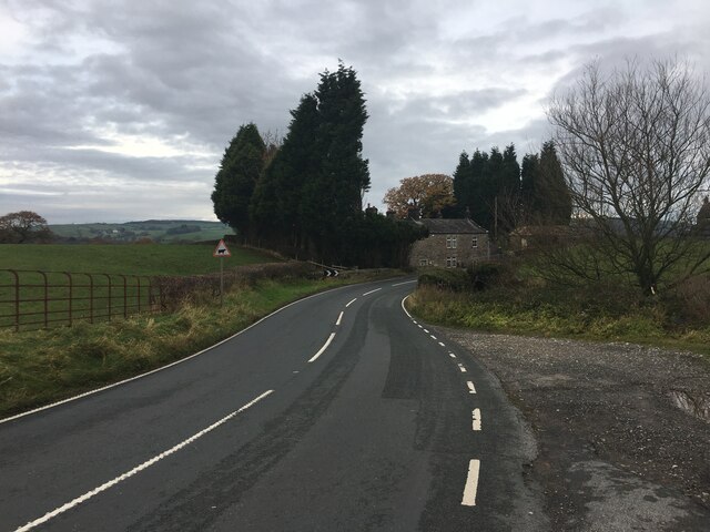
Knots Wood Images
Images are sourced within 2km of 54.055794/-2.7489499 or Grid Reference SD5162. Thanks to Geograph Open Source API. All images are credited.


Knots Wood is located at Grid Ref: SD5162 (Lat: 54.055794, Lng: -2.7489499)
Administrative County: Lancashire
District: Lancaster
Police Authority: Lancashire
What 3 Words
///racked.candles.laces. Near Halton, Lancashire
Nearby Locations
Related Wikis

Quernmore Park
Quernmore Park Hall is a grade II* listed Georgian country house which stands in a 20-acre estate in the village of Quernmore, part of the City of Lancaster...
HM Prison Lancaster Farms
HM Prison Lancaster Farms is a category C male prison, located on the outskirts of Lancaster, Lancashire, England. The prison is operated by His Majesty...

Lancaster Moor Hospital
Lancaster Moor Hospital, formerly the Lancaster County Lunatic Asylum and Lancaster County Mental Hospital, was a mental hospital in Lancaster, Lancashire...
Lancaster Cemetery Chapels
The Lancaster Cemetery Chapels are the three chapels, each built to serve a different denomination, in the main cemetery of Lancaster, England. The chapels...
War Memorial, Lancaster Cemetery
The War Memorial, Lancaster Cemetery, was built to commemorate those lost in the Crimean War. It was erected in 1860, and designed by the local architect...

St Michael's Chapel, Lancaster Moor Hospital
St Michael's Chapel is the former Anglican chapel to Lancaster Moor Hospital, to the east of Lancaster, Lancashire, England. It was built in 1866 to a...
Bulk, Lancashire
Bulk is an area of Lancaster, Lancashire, England. It was formerly a township and a civil parish. The placename Bulke was recorded in 1346. The manor of...
Lancaster University Boat Club
Lancaster University Boat Club (LUBC) is the rowing club of Lancaster University. The club was founded in 1964 with the inception of the university by...
Nearby Amenities
Located within 500m of 54.055794,-2.7489499Have you been to Knots Wood?
Leave your review of Knots Wood below (or comments, questions and feedback).