Twyford Common
Downs, Moorland in Herefordshire
England
Twyford Common
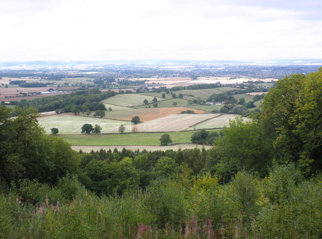
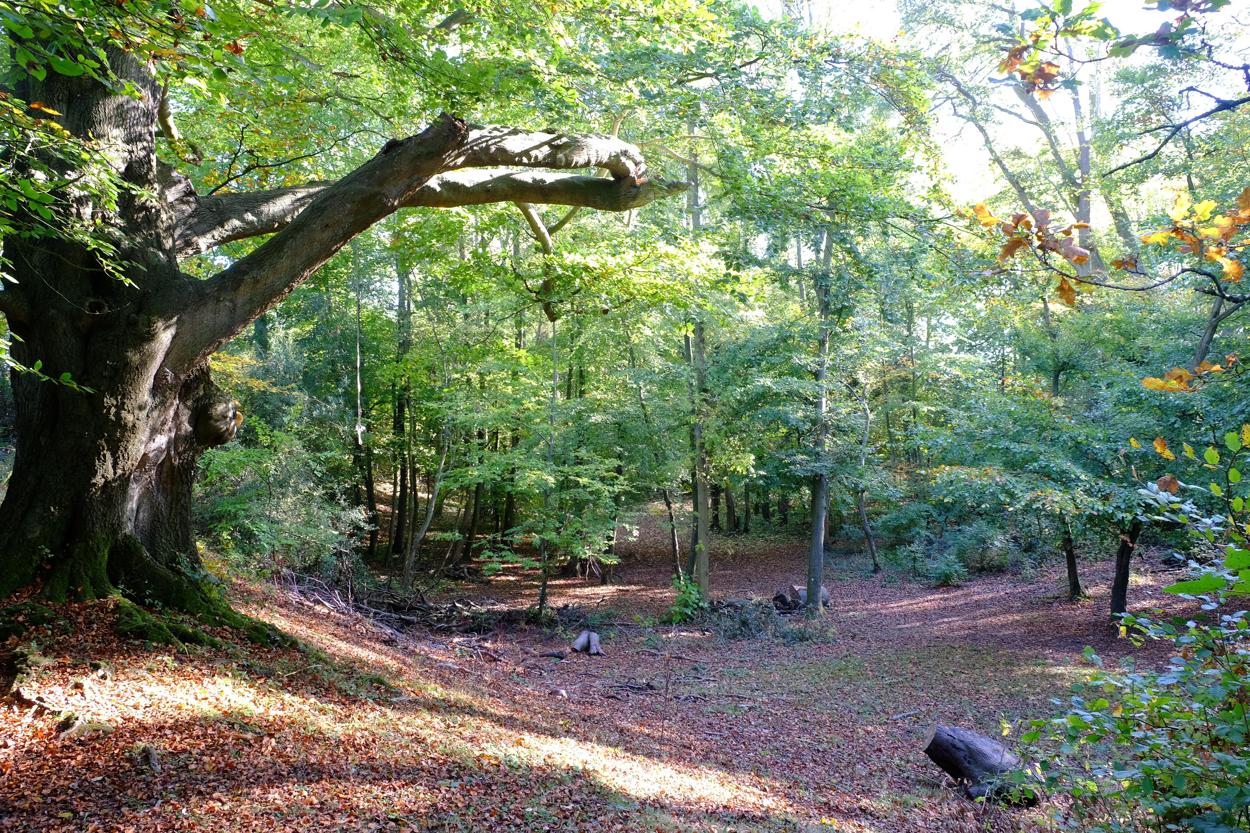
Twyford Common is a picturesque area located in Herefordshire, England. It is situated in the heart of the county, encompassing both downs and moorland landscapes. The common covers a vast expanse of approximately 500 acres and is renowned for its natural beauty and tranquility.
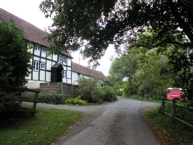
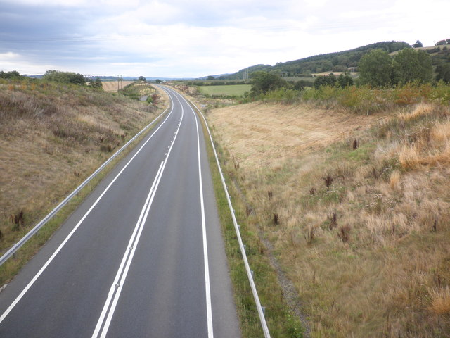
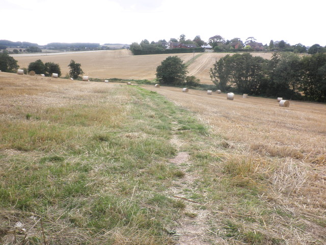
The common is characterized by its rolling hills, open grasslands, and scattered woodlands. The downs offer breathtaking panoramic views of the surrounding countryside, with their gently sloping hills and expansive vistas. The moorland, on the other hand, presents a more rugged and wild terrain, adorned with heather, gorse, and scattered boulders.
Twyford Common is home to a diverse range of flora and fauna. The grasslands are adorned with an array of wildflowers, including harebells, orchids, and cowslips, attracting a multitude of butterflies and bees. The woodlands provide shelter to a variety of bird species, such as woodpeckers, thrushes, and owls, while the moorland is known for its resident wildlife, including foxes, rabbits, and even the occasional deer.
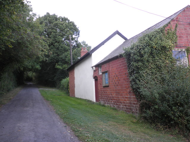
The common also boasts several walking trails and footpaths, allowing visitors to explore and appreciate its natural wonders. These paths meander through the various landscapes, offering a chance to observe the ever-changing scenery and experience the peacefulness of the area.
Overall, Twyford Common is a place of outstanding natural beauty, offering a diverse range of landscapes that are sure to captivate nature enthusiasts and provide a serene escape from the hustle and bustle of everyday life.
If you have any feedback on the listing, please let us know in the comments section below.
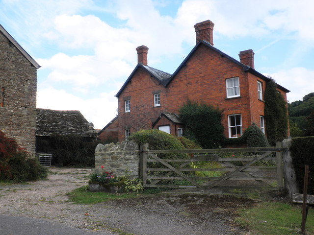
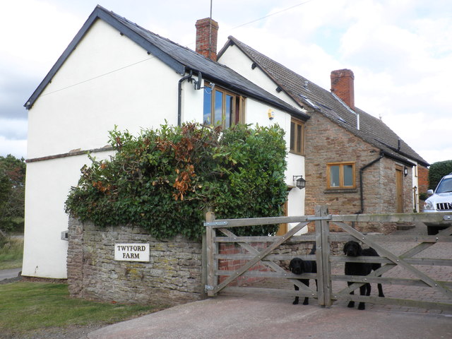
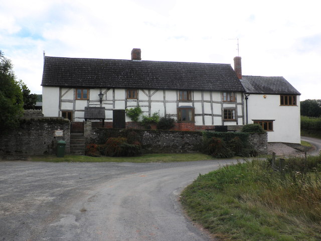
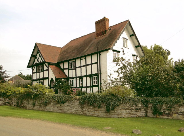
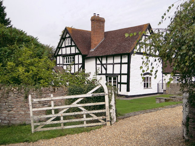
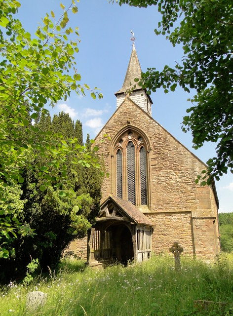
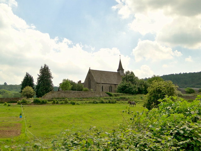
Twyford Common Images
Images are sourced within 2km of 52.013005/-2.712753 or Grid Reference SO5135. Thanks to Geograph Open Source API. All images are credited.


Twyford Common is located at Grid Ref: SO5135 (Lat: 52.013005, Lng: -2.712753)
Unitary Authority: County of Herefordshire
Police Authority: West Mercia
What 3 Words
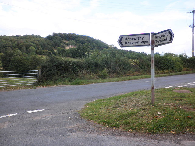
///lace.posts.defend. Near Callow, Herefordshire
Nearby Locations
Related Wikis

Dinedor Hill
Dinedor Hill is situated 2.5 miles south of Hereford. It is the site of Dinedor Camp, an Iron Age hillfort. More specifically a promontory fort. It is...
Dinedor Camp
Dinedor Camp is an Iron Age hillfort, about 1 kilometre (0.6 mi) west of the village of Dinedor and about 3 kilometres (1.9 mi) south of Hereford in England...

Hereford (UK Parliament constituency)
Hereford was, until 2010, a constituency of the House of Commons of the Parliament of the United Kingdom. Since 1918, it had elected one Member of Parliament...

Hereford and South Herefordshire (UK Parliament constituency)
Hereford and South Herefordshire ( HERR-if-ərd ... HERR-if-ərd-sheer, -shər) is a constituency of the House of Commons of the UK Parliament. It comprises...

Aconbury
Aconbury (Welsh: Caer Rhain) is a village in the English county of Herefordshire, situated on a road between Hereford and Ross-on-Wye. St John the Baptist...

Aconbury Priory
Aconbury Priory was a priory in Herefordshire, England. Aconbury is a village on a road between Hereford and Ross-on-Wye. == History == The priory was...

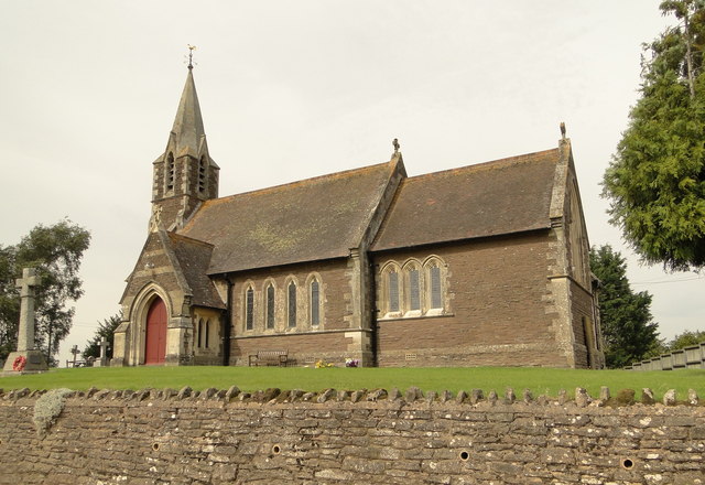
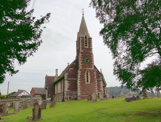
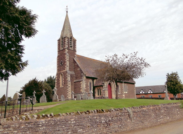
Callow, Herefordshire
Callow is a village and civil parish in Herefordshire, England, about 4 miles (6.4 km) south of Hereford. The church is dedicated to St Mary. == External... ==

Lower Bullingham
Lower Bullingham is a village and civil parish in Herefordshire, England. The main village, Lower Bullingham, is a south-eastern suburb of Hereford....
Nearby Amenities
Located within 500m of 52.013005,-2.712753Have you been to Twyford Common?
Leave your review of Twyford Common below (or comments, questions and feedback).