Leyland Moss
Downs, Moorland in Lancashire South Ribble
England
Leyland Moss

Leyland Moss is a picturesque area located in the county of Lancashire, England. Situated amidst the scenic beauty of Downs and Moorland, this region offers a unique blend of natural landscapes and historical charm.
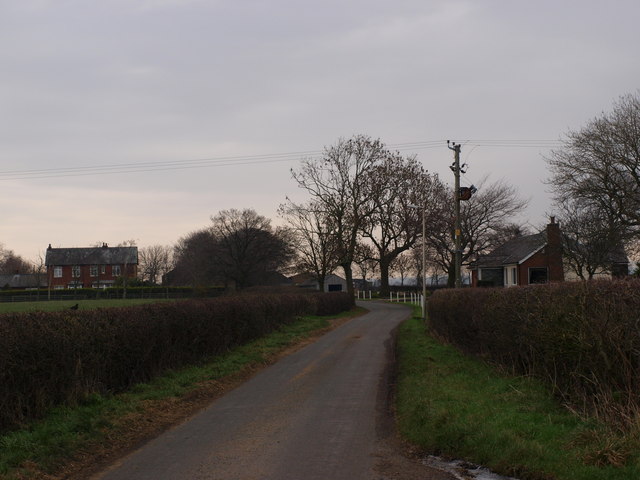
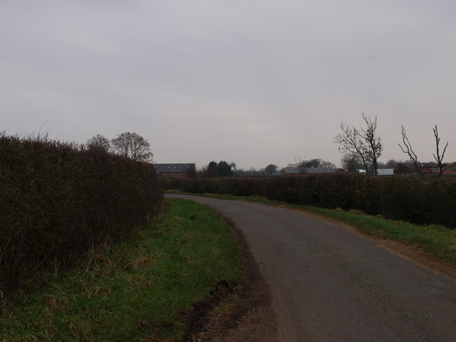
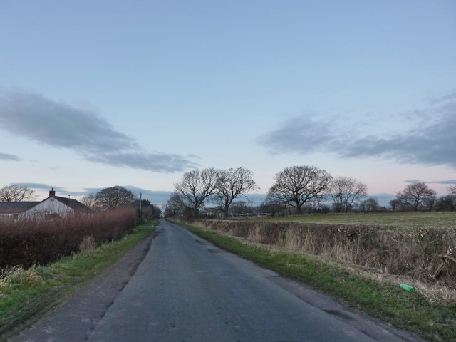
The area is renowned for its vast expanses of mossland, characterized by wet and marshy terrain. These mosslands are home to a variety of rare plant and animal species, making it a haven for nature enthusiasts and wildlife lovers. The rich biodiversity of Leyland Moss is protected by conservation efforts, ensuring the preservation of this unique ecosystem.
Apart from its natural beauty, Leyland Moss also boasts a rich history. The area has been inhabited since prehistoric times, with evidence of Bronze Age settlements and Roman presence. The remnants of ancient settlements and historic landmarks can still be found scattered across the landscape, providing a glimpse into the region's past.
Visitors to Leyland Moss can enjoy a range of outdoor activities, including hiking, birdwatching, and nature walks. The surrounding Downs and Moorland provide ample opportunities for exploration and discovery. Additionally, the area is well-connected to nearby towns and cities, making it easily accessible for day trips or longer stays.
Leyland Moss offers a tranquil escape from the hustle and bustle of city life, allowing visitors to immerse themselves in the natural beauty and rich heritage of this enchanting region. Whether it's admiring the unique mossland ecosystem or exploring the ancient landmarks, Leyland Moss is a destination that truly captivates all who visit.
If you have any feedback on the listing, please let us know in the comments section below.
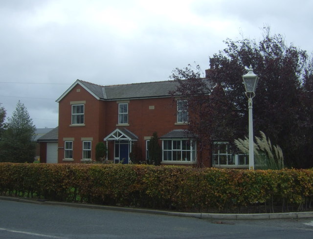
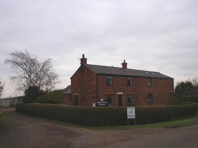
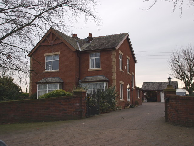
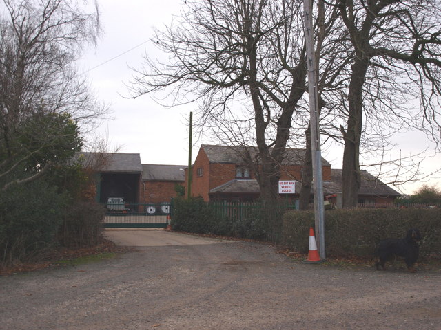
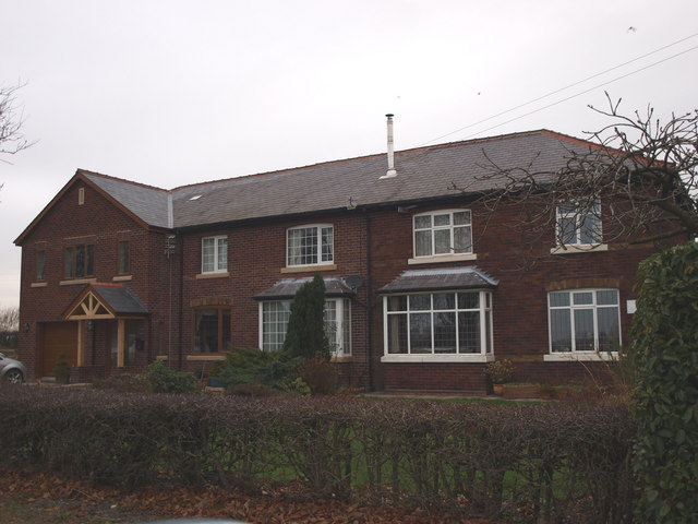
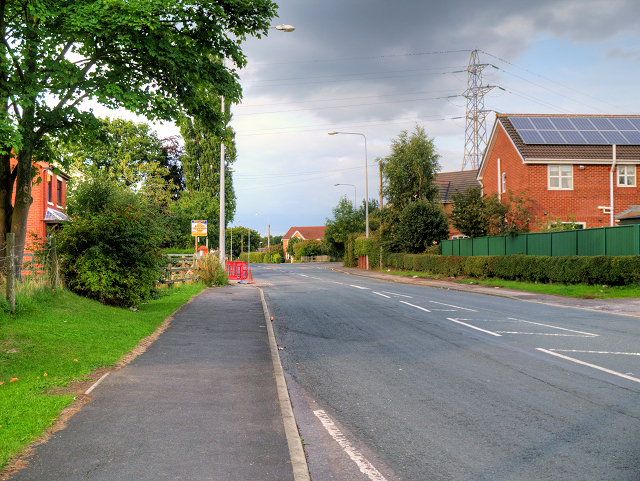
Leyland Moss Images
Images are sourced within 2km of 53.707978/-2.7410298 or Grid Reference SD5123. Thanks to Geograph Open Source API. All images are credited.


Leyland Moss is located at Grid Ref: SD5123 (Lat: 53.707978, Lng: -2.7410298)
Administrative County: Lancashire
District: South Ribble
Police Authority: Lancashire
What 3 Words
///rainy.sadly.themes. Near Leyland, Lancashire
Nearby Locations
Related Wikis
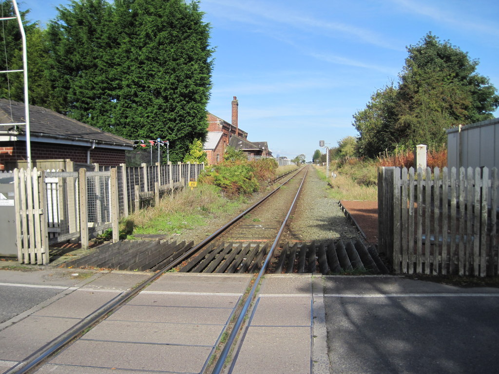
Midge Hall railway station
Midge Hall railway station was located in Midge Hall, Leyland, closing to passengers in 1961, although the line still exists as the Ormskirk Branch Line...

Midge Hall
Midge Hall is a small village on the outskirts of Leyland in the borough of South Ribble, Lancashire, England. Notable features include the Midge Hall...

Moss Side, South Ribble
Moss Side is a suburban, semi-rural community on the western side of Leyland, Lancashire, in the borough of South Ribble, England. The suburb is growing...

Whitestake
Whitestake is a small village in the South Ribble district of Lancashire, England, on the eastern edge of New Longton It is at the boundary of the parishes...
Nearby Amenities
Located within 500m of 53.707978,-2.7410298Have you been to Leyland Moss?
Leave your review of Leyland Moss below (or comments, questions and feedback).