Twyford Common

Settlement in Herefordshire

England

Twyford Common

View towards King's Pitts from Aconbury Hill
View towards King's Pitts from Aconbury Hill Credit: Roger Cornfoot

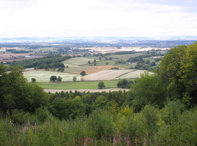
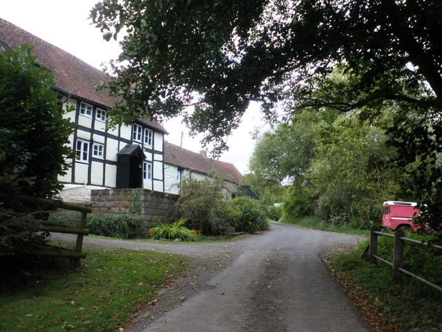
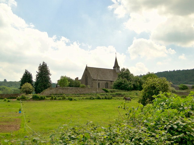
Twyford Common is a small village located in the county of Herefordshire, England. Situated approximately 5 miles southwest of the town of Hereford, it is nestled in a picturesque rural setting. The village is surrounded by rolling green fields and is known for its tranquil and idyllic atmosphere.

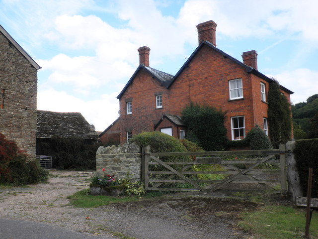
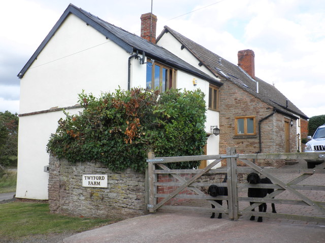
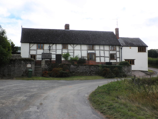
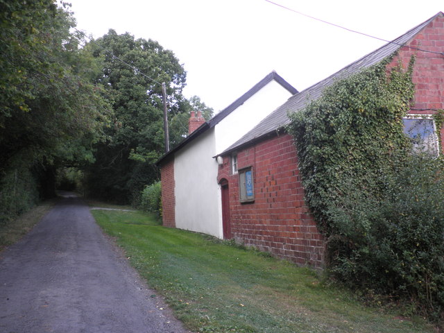
The settlement of Twyford Common dates back centuries, with evidence of human habitation in the area as far back as the Bronze Age. Today, it is a close-knit community with a population of around 300 residents. The village is primarily residential, consisting of a mix of traditional and modern homes.

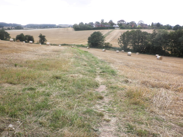
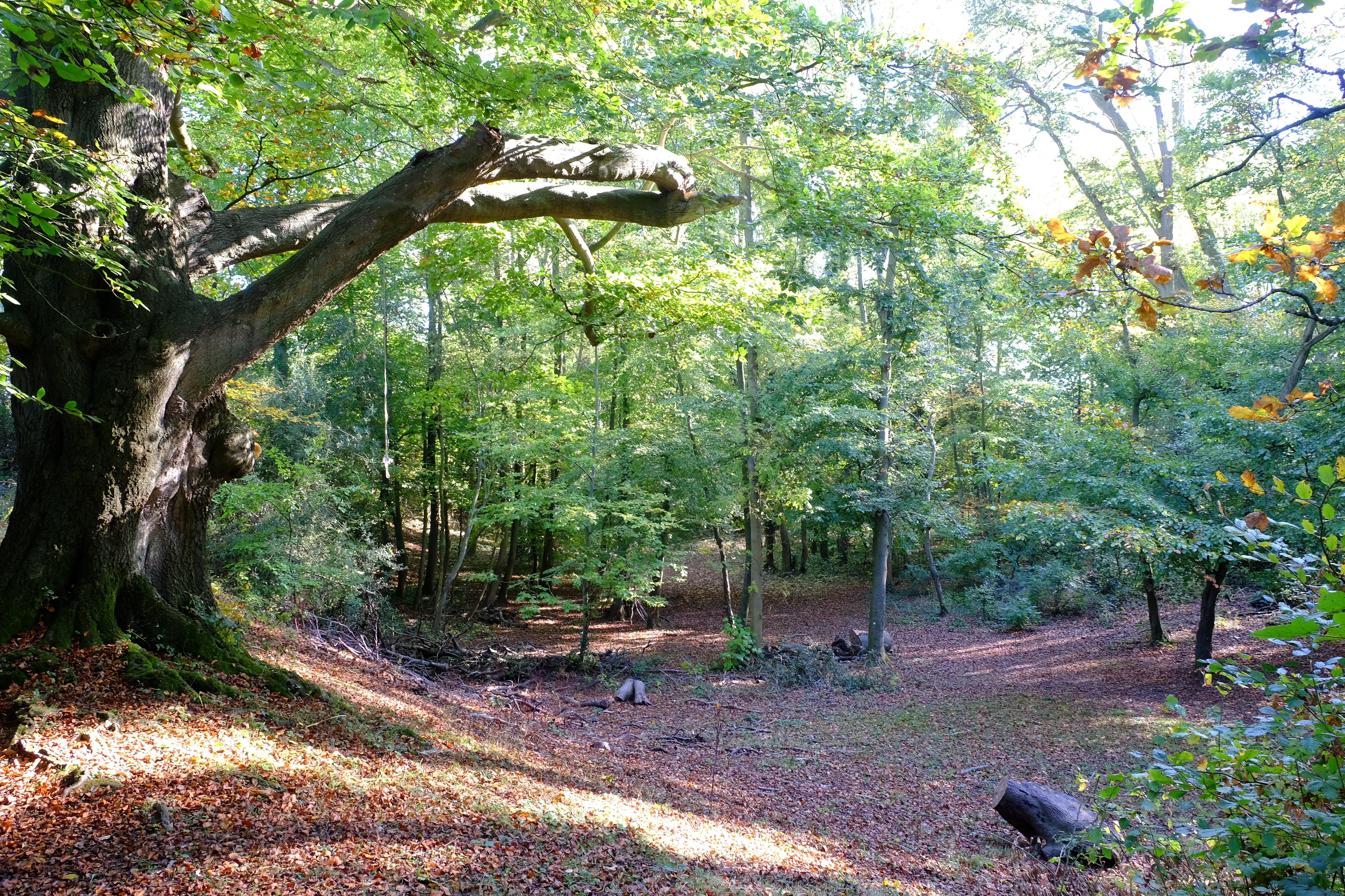
Twyford Common is renowned for its beautiful natural surroundings, making it a popular destination for nature lovers and outdoor enthusiasts. The area is dotted with walking trails and footpaths, providing ample opportunities for exploring the countryside. Nearby, the River Wye offers excellent fishing and boating opportunities.

Although small, Twyford Common boasts a range of amenities for its residents. These include a local pub, a community center, and a village hall that serves as a hub for social events and gatherings. The village also has a primary school, providing education for local children.

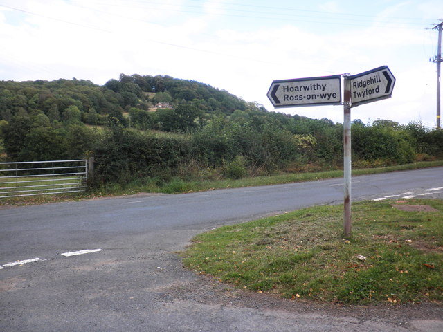
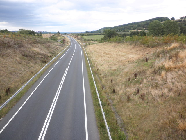
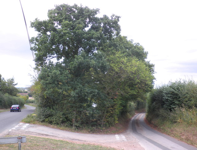
The village is well-connected to the surrounding areas by road, with regular bus services to Hereford and other nearby towns. It offers a peaceful and scenic retreat from the hustle and bustle of city life, making it an attractive place to live for those seeking a quieter rural lifestyle.

If you have any feedback on the listing, please let us know in the comments section below.

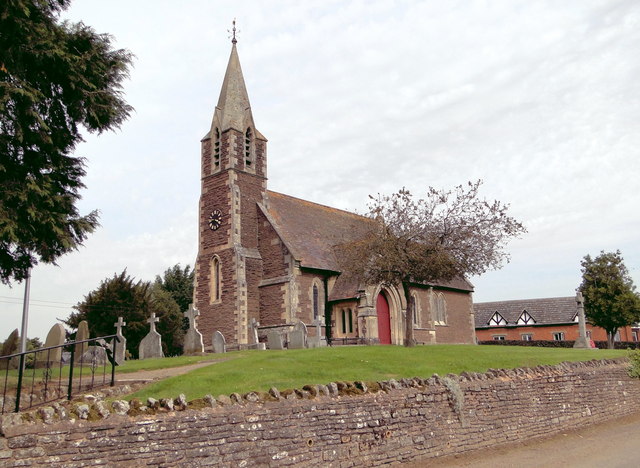
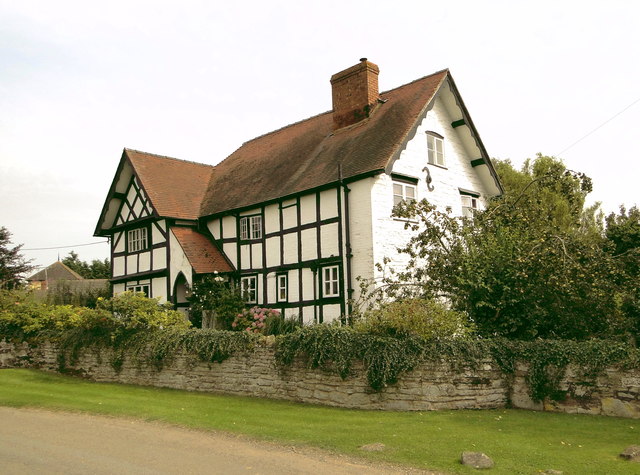
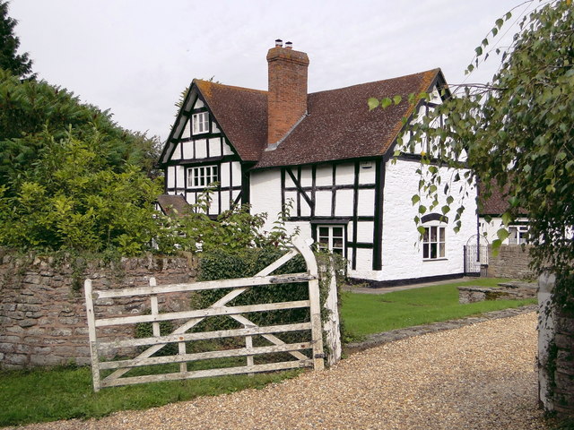
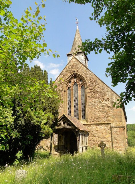
Twyford Common Images

Images are sourced within 2km of 52.01485/-2.7139335 or Grid Reference SO5135. Thanks to Geograph Open Source API. All images are credited.

View towards King's Pitts from Aconbury Hill
King's Pitts Farm
King's Pitts Farm
Dogs on guard, at Twyford farm
Twyford farmhouse
Twyford farmhouse
Twyford Common
Twyford Common
Former chapel, Twyford Common
Minor road junction, Dinedor Common
Rotherwas access road, near Bullinghope
Fields of stubble, near Bullinghope
Road junction, south of Lower Bullingham
St Peter, Bullinghope A new build of 1878-80 by F.R. Kempson with a later tower. It replaces the old church, whose remains can be seen just down the road.
St Peter, Bullinghope
A new build of 1878-80 by F.R. Kempson with a later tower. It replaces the old church, whose remains can be seen just down the road.
Church House, Bullinghope A 17th century box frame, extended and re-roofed in the early 19th century, I guess. A beautiful house in a delightful, if windy, rural location, but for how much longer as Hereford threatens to encroach.
Church House, Bullinghope
A 17th century box frame, extended and re-roofed in the early 19th century, I guess. A beautiful house in a delightful, if windy, rural location, but for how much longer as Hereford threatens to encroach.
Bullinghope House Charming L-shaped timber framed house coming up for 400 years old. Clearly, they don't shut the gate.
Bullinghope House
Charming L-shaped timber framed house coming up for 400 years old. Clearly, they don't shut the gate.
St John the Baptist, Aconbury Closed and used as a store, but in good condition. The splendid 15th century porch is also still holding up well.
St John the Baptist, Aconbury
Closed and used as a store, but in good condition. The splendid 15th century porch is also still holding up well.
St John the Baptist, Aconbury Disused and becoming overgrown, but still in reasonable condition. Used as a store. A monastic foundation for the nuns of the Order of St John, it was founded in 1216, according to the Herefordshire Pevsner.
St John the Baptist, Aconbury
Disused and becoming overgrown, but still in reasonable condition. Used as a store. A monastic foundation for the nuns of the Order of St John, it was founded in 1216, according to the Herefordshire Pevsner.
Show me another place!

Twyford Common is located at Grid Ref: SO5135 (Lat: 52.01485, Lng: -2.7139335)

Unitary Authority: County of Herefordshire

Police Authority: West Mercia

What 3 Words

///myself.worm.fakes. Near Callow, Herefordshire

Related Wikis

Dinedor Hill

Dinedor Hill is situated 2.5 miles south of Hereford. It is the site of Dinedor Camp, an Iron Age hillfort. More specifically a promontory fort. It is...

Dinedor Camp

Dinedor Camp is an Iron Age hillfort, about 1 kilometre (0.6 mi) west of the village of Dinedor and about 3 kilometres (1.9 mi) south of Hereford in England...

Hereford (UK Parliament constituency)

Hereford was, until 2010, a constituency of the House of Commons of the Parliament of the United Kingdom. Since 1918, it had elected one Member of Parliament...

Hereford and South Herefordshire (UK Parliament constituency)

Hereford and South Herefordshire ( HERR-if-ərd ... HERR-if-ərd-sheer, -⁠⁠shər) is a constituency of the House of Commons of the UK Parliament. It comprises...

Nearby Amenities

Located within 500m of 52.01485,-2.7139335
Twyford Common
Place: locality
Lat/Long: 52.0126423/-2.7124321
Power: pole
Lat/Long: 52.0124409/-2.7110481
Twyford Common South
Power: pole
Transformer: distribution
Voltage Primary: 11000
Lat/Long: 52.0115865/-2.7140924
Power: pole
Lat/Long: 52.0115965/-2.7130625
Power: pole
Lat/Long: 52.0116138/-2.7120727
Power: pole
Lat/Long: 52.0128524/-2.711018
Lynders
Power: pole
Transformer: distribution
Voltage Primary: 11000
Lat/Long: 52.0121796/-2.7110622
Power: pole
Lat/Long: 52.0133678/-2.7109811
Huntless Farm
Power: pole
Transformer: distribution
Voltage Primary: 11000
Lat/Long: 52.0139609/-2.7098566
Mission Room
Power: pole
Transformer: distribution
Voltage Primary: 11000
Lat/Long: 52.0168213/-2.7126172
Power: pole
Lat/Long: 52.0164961/-2.7117408
Power: pole
Lat/Long: 52.0161143/-2.7107041
Power: pole
Lat/Long: 52.0152353/-2.7107638
Power: pole
Lat/Long: 52.0142737/-2.7109361
Twyford Common East
Power: pole
Transformer: distribution
Voltage Primary: 11000
Lat/Long: 52.0145932/-2.7119768
Twyford Common Bungalow
Power: pole
Transformer: distribution
Voltage Primary: 11000
Lat/Long: 52.0145044/-2.7133595
Power: pole
Lat/Long: 52.0145643/-2.7125361
Twyford Common
Power: pole
Transformer: distribution
Voltage Primary: 11000
Lat/Long: 52.0136576/-2.7145833
Power: pole
Lat/Long: 52.0144264/-2.7144277
Power: pole
Lat/Long: 52.0147298/-2.7168166
Quarry House
Power: pole
Transformer: distribution
Voltage Primary: 11000
Lat/Long: 52.0180923/-2.7139328
Power: pole
Lat/Long: 52.0173297/-2.714256
Power: pole
Lat/Long: 52.0164845/-2.714643
The Orchard
Power: pole
Transformer: distribution
Voltage Primary: 11000
Lat/Long: 52.0154045/-2.7150051
Power: pole
Lat/Long: 52.0148552/-2.7151848
Power: pole
Lat/Long: 52.01436/-2.7153296
Power: pole
Transformer: distribution
Voltage Primary: 11000
Lat/Long: 52.0141305/-2.7170455
Location Transition: yes
Power: pole
Lat/Long: 52.0142754/-2.7164387
Power: pole
Lat/Long: 52.015135/-2.7171931
Twyford Common West
Power: pole
Transformer: distribution
Voltage Primary: 11000
Lat/Long: 52.0154738/-2.7174646
Power: pole
Lat/Long: 52.0159864/-2.7179293
Power: pole
Lat/Long: 52.0165588/-2.7184282
Power: pole
Lat/Long: 52.0171526/-2.7189459
Power: pole
Lat/Long: 52.0177349/-2.7194622
The data included in this document is from www.openstreetmap.org. The data is made available under ODbL.

Have you been to Twyford Common?

Leave your review of Twyford Common below (or comments, questions and feedback).