Ridge Hill

Settlement in Herefordshire

England

Ridge Hill

The Pastures, Hereford
The Pastures, Hereford Credit: Alex McGregor

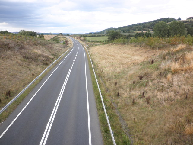
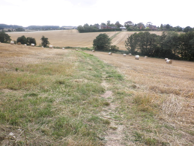
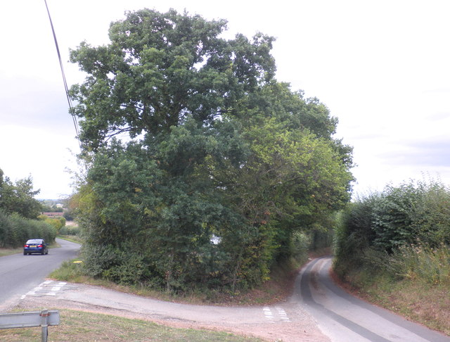
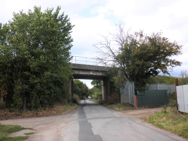
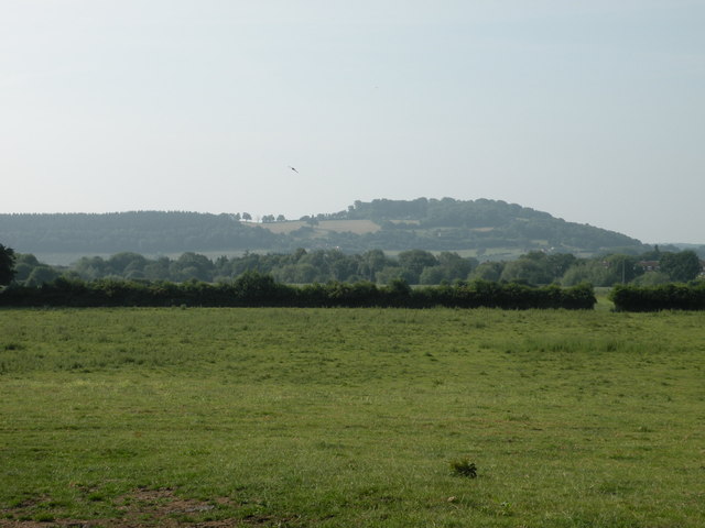
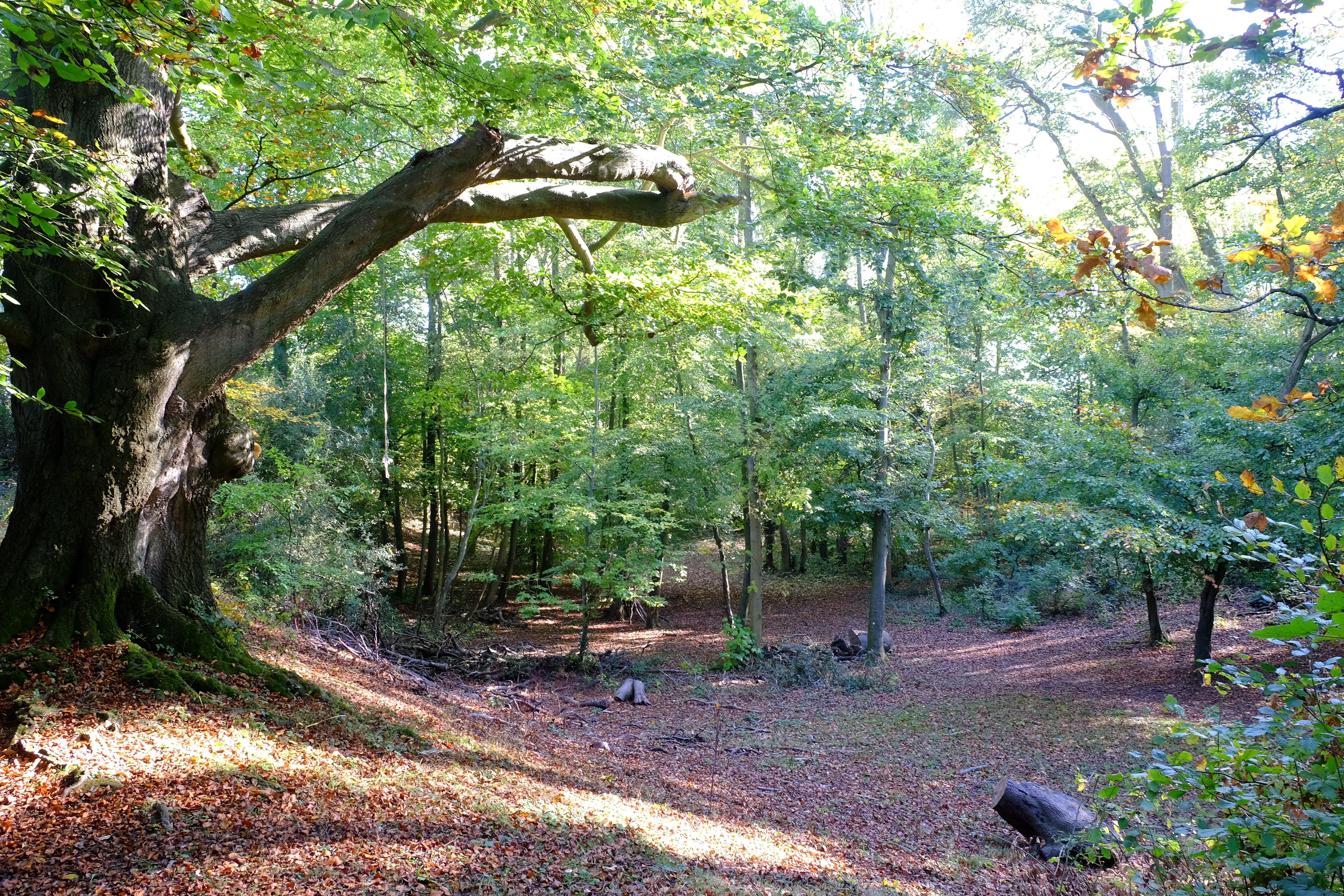
Ridge Hill is a picturesque village located in the county of Herefordshire, England. Situated on the eastern edge of the county, it is part of the beautiful rural landscape that characterizes the region. The village is surrounded by rolling hills and lush green fields, offering stunning views of the Herefordshire countryside.

Ridge Hill is a small village with a close-knit community. It is home to a population of approximately 500 residents, who enjoy a peaceful and idyllic lifestyle. The village is known for its charm and tranquility, making it a popular choice for those seeking a quiet retreat away from the hustle and bustle of city life.

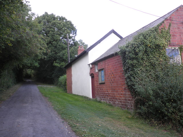
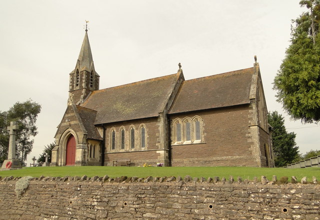
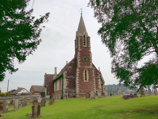
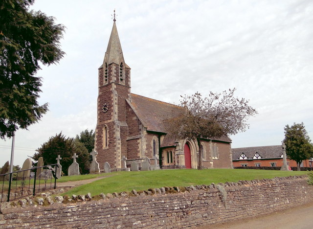
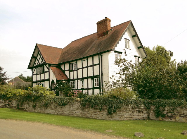
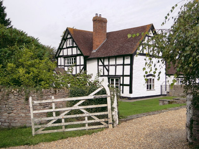
The village itself features a number of traditional cottages and period buildings, adding to its charm and character. There is a small village green where residents can gather and enjoy community events throughout the year. Additionally, Ridge Hill boasts a local pub, which serves as a hub for socializing and meeting neighbors.

The surrounding area offers plenty of opportunities for outdoor activities and exploration. There are numerous walking and cycling routes that take visitors through the stunning Herefordshire countryside, allowing them to experience the natural beauty of the area. Additionally, the nearby Wye Valley and Brecon Beacons National Park offer further opportunities for outdoor adventures.

Overall, Ridge Hill is a delightful village that offers a peaceful and scenic retreat for both residents and visitors alike. Its rural charm, friendly community, and stunning surroundings make it a truly special place within Herefordshire.

If you have any feedback on the listing, please let us know in the comments section below.
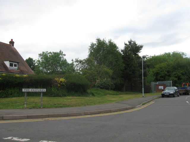
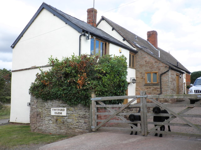
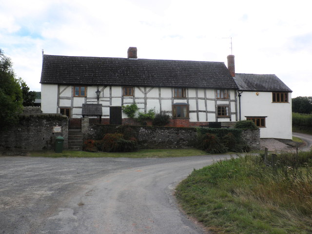
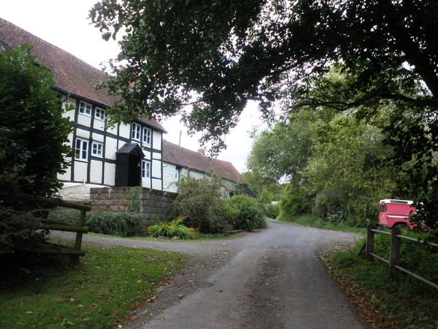
Ridge Hill Images

Images are sourced within 2km of 52.020232/-2.7116584 or Grid Reference SO5135. Thanks to Geograph Open Source API. All images are credited.

The Pastures, Hereford
Dogs on guard, at Twyford farm
Twyford farmhouse
Twyford farmhouse
Twyford Common
Twyford Common
Former chapel, Twyford Common
Minor road junction, Dinedor Common
Rotherwas access road, near Bullinghope
Fields of stubble, near Bullinghope
Road junction, south of Lower Bullingham
Railway overbridge, Lower Bullingham
St Peter, Bullinghope A new build of 1878-80 by F.R. Kempson with a later tower. It replaces the old church, whose remains can be seen just down the road.
St Peter, Bullinghope
A new build of 1878-80 by F.R. Kempson with a later tower. It replaces the old church, whose remains can be seen just down the road.
Church House, Bullinghope A 17th century box frame, extended and re-roofed in the early 19th century, I guess. A beautiful house in a delightful, if windy, rural location, but for how much longer as Hereford threatens to encroach.
Church House, Bullinghope
A 17th century box frame, extended and re-roofed in the early 19th century, I guess. A beautiful house in a delightful, if windy, rural location, but for how much longer as Hereford threatens to encroach.
Bullinghope House Charming L-shaped timber framed house coming up for 400 years old. Clearly, they don't shut the gate.
Bullinghope House
Charming L-shaped timber framed house coming up for 400 years old. Clearly, they don't shut the gate.
On Hoarwithy Road, Lower Bullingham, Hereford, looking south towards the railway bridge
Dinedor Hill Leading up to the Iron Age fort of Dinedor Camp at the right hand end. View from the end of Green Street at the edge of the built-up area of Hereford.
Dinedor Hill
Leading up to the Iron Age fort of Dinedor Camp at the right hand end. View from the end of Green Street at the edge of the built-up area of Hereford.
The valley of the Norton Brook The road to Ross follows this broad valley for several kilometres south of Hereford
The valley of the Norton Brook
The road to Ross follows this broad valley for several kilometres south of Hereford
Show me another place!

Ridge Hill is located at Grid Ref: SO5135 (Lat: 52.020232, Lng: -2.7116584)

Unitary Authority: County of Herefordshire

Police Authority: West Merica

What 3 Words

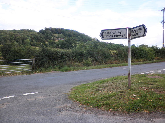
///spoken.stars.bucked. Near Callow, Herefordshire

Related Wikis

Dinedor Hill

Dinedor Hill is situated 2.5 miles south of Hereford. It is the site of Dinedor Camp, an Iron Age hillfort. More specifically a promontory fort. It is...

Dinedor Camp

Dinedor Camp is an Iron Age hillfort, about 1 kilometre (0.6 mi) west of the village of Dinedor and about 3 kilometres (1.9 mi) south of Hereford in England...

Lower Bullingham

Lower Bullingham is a village and civil parish in Herefordshire, England. The main village, Lower Bullingham, is a south-eastern suburb of Hereford....

Grafton, Herefordshire

Grafton is a village and civil parish in Herefordshire, England. The population of this civil parish was 258 at the 2011 census. The parish includes the...

Related Videos

Warranty Work Update and About Servicing

Latest update for you guys and girls. Camera gets fixed in this update. If these videos helped you, please feel free to send a little ...

Jingle bells zombie smells | Dead Rising 4 #1

I decided to play something that was more to do with Christmas considering that it is Christmas and what game has more ...

Nearby Amenities

Located within 500m of 52.020232,-2.7116584
Bus Stop
Lower Dinedor
Naptan AtcoCode: 2090A20361
Naptan Bearing: N
Naptan CommonName: Lower Dinedor
Naptan Indicator: opp Dinedor Turn
Naptan Landmark: Turn to Dinedor
Naptan NaptanCode: herapgjm
Naptan Street: Hereford to Hoarwithy road
Naptan Verified: no
Source: naptan_import
Lat/Long: 52.0218297/-2.7059494
Lower Dinedor
Naptan AtcoCode: 2090A20363
Naptan Bearing: S
Naptan BusStopType: CUS
Naptan CommonName: Lower Dinedor
Naptan Indicator: adj Dinedor Turn
Naptan Landmark: Turn to Dinedor
Naptan NaptanCode: herapgjp
Naptan Street: Hereford to Hoarwithy road
Naptan Verified: no
Source: naptan_import
Lat/Long: 52.0218401/-2.7057164
Bus Stop
Fairbrook House
Naptan AtcoCode: 2090A20365
Naptan Bearing: S
Naptan CommonName: Fairbrook House
Naptan Indicator: opp
Naptan Landmark: Fairbrook House
Naptan NaptanCode: herapgjt
Naptan Street: Hereford to Hoarwithy Road
Naptan Verified: no
Source: naptan_import
Lat/Long: 52.0183512/-2.7051559
Fairbrook House
Naptan AtcoCode: 2090A20367
Naptan Bearing: N
Naptan BusStopType: CUS
Naptan CommonName: Fairbrook House
Naptan Indicator: adj
Naptan Landmark: Fairbrook House
Naptan NaptanCode: herapgjw
Naptan Street: Hereford to Hoarwithy road
Naptan Verified: no
Source: naptan_import
Lat/Long: 52.0182908/-2.7053545
Generator Method: photovoltaic
Generator Output Electricity: yes
Generator Source: solar
Generator Type: solar_photovoltaic_panel
Location: roof
Power: generator
Lat/Long: 52.0235458/-2.707682
Power: pole
Lat/Long: 52.0237884/-2.7080508
Mission Room
Power: pole
Transformer: distribution
Voltage Primary: 11000
Lat/Long: 52.0168213/-2.7126172
Power: pole
Lat/Long: 52.0164961/-2.7117408
Power: pole
Lat/Long: 52.0161143/-2.7107041
Quarry House
Power: pole
Transformer: distribution
Voltage Primary: 11000
Lat/Long: 52.0180923/-2.7139328
Power: pole
Lat/Long: 52.0173297/-2.714256
Power: pole
Lat/Long: 52.0164845/-2.714643
Power: pole
Lat/Long: 52.0197215/-2.7178086
Power: pole
Lat/Long: 52.0200537/-2.7166184
Power: pole
Lat/Long: 52.0204069/-2.7153591
Ridge Hill
Power: pole
Transformer: distribution
Voltage Primary: 11000
Lat/Long: 52.0198581/-2.7128814
Power: pole
Lat/Long: 52.0201964/-2.7133166
Power: pole
Lat/Long: 52.0204721/-2.7136733
Power: pole
Lat/Long: 52.0209899/-2.7143446
Wondor Cottage
Power: pole
Transformer: distribution
Voltage Primary: 11000
Lat/Long: 52.0190022/-2.7066815
Power: pole
Lat/Long: 52.0190641/-2.7079374
Power: pole
Lat/Long: 52.0193934/-2.7092008
Power: pole
Lat/Long: 52.0200429/-2.7100289
Power: pole
Lat/Long: 52.0203611/-2.7103789
Pear Tree Cottage
Power: pole
Transformer: distribution
Voltage Primary: 11000
Lat/Long: 52.0209124/-2.7109958
Power: pole
Lat/Long: 52.0213126/-2.711488
Power: pole
Lat/Long: 52.0214133/-2.71229
Power: pole
Lat/Long: 52.0215433/-2.7133515
Power: pole
Lat/Long: 52.022116/-2.7123356
Power: pole
Lat/Long: 52.0226636/-2.7113948
Power: pole
Lat/Long: 52.0230415/-2.7102448
Power: pole
Lat/Long: 52.0234154/-2.7091471
The data included in this document is from www.openstreetmap.org. The data is made available under ODbL.

Have you been to Ridge Hill?

Leave your review of Ridge Hill below (or comments, questions and feedback).