Cowley Peachey
Settlement in Middlesex
England
Cowley Peachey
Cowley Peachey is a small suburban area located in the historic county of Middlesex, in the southeastern part of England. It is situated between the towns of Uxbridge and West Drayton, approximately 20 miles west of central London. The area is part of the London Borough of Hillingdon.
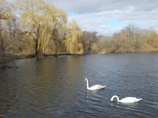
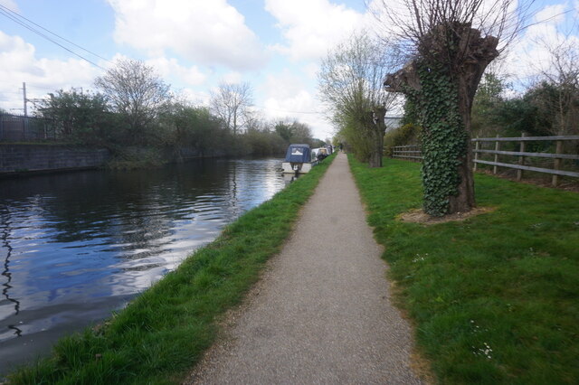
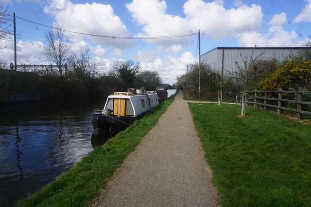
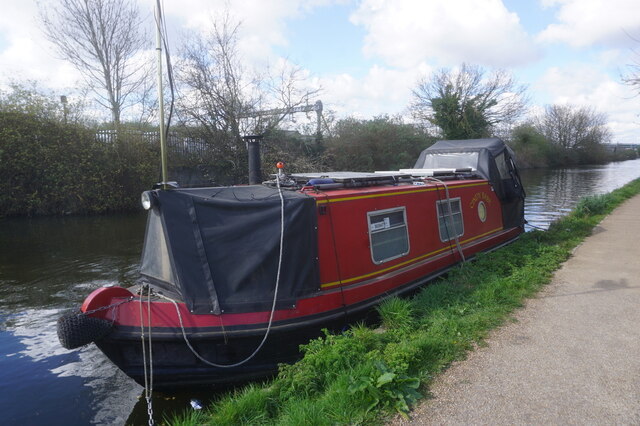
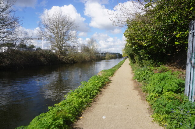
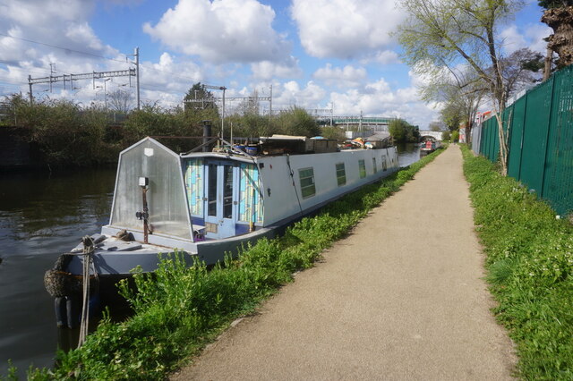
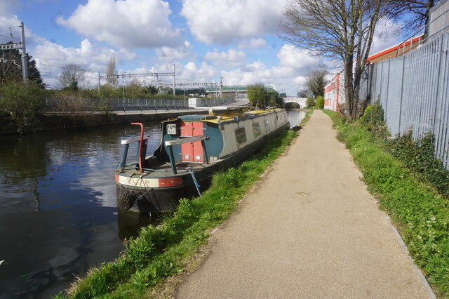
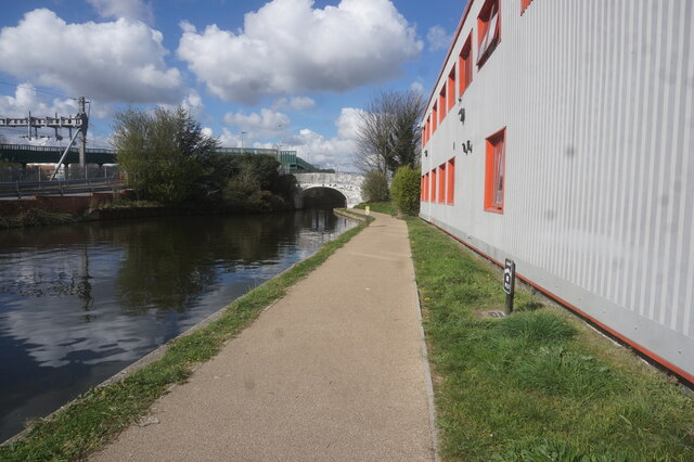
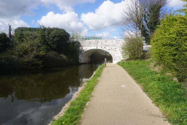
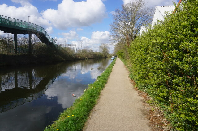
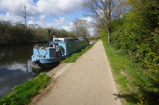
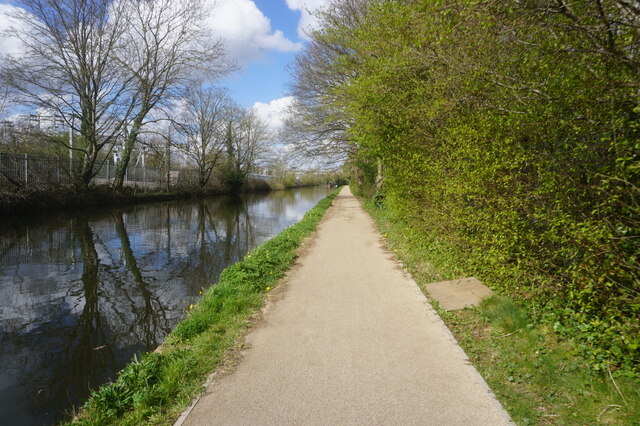
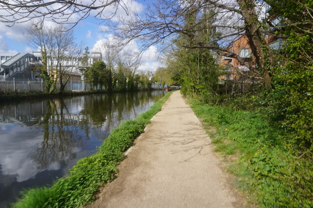
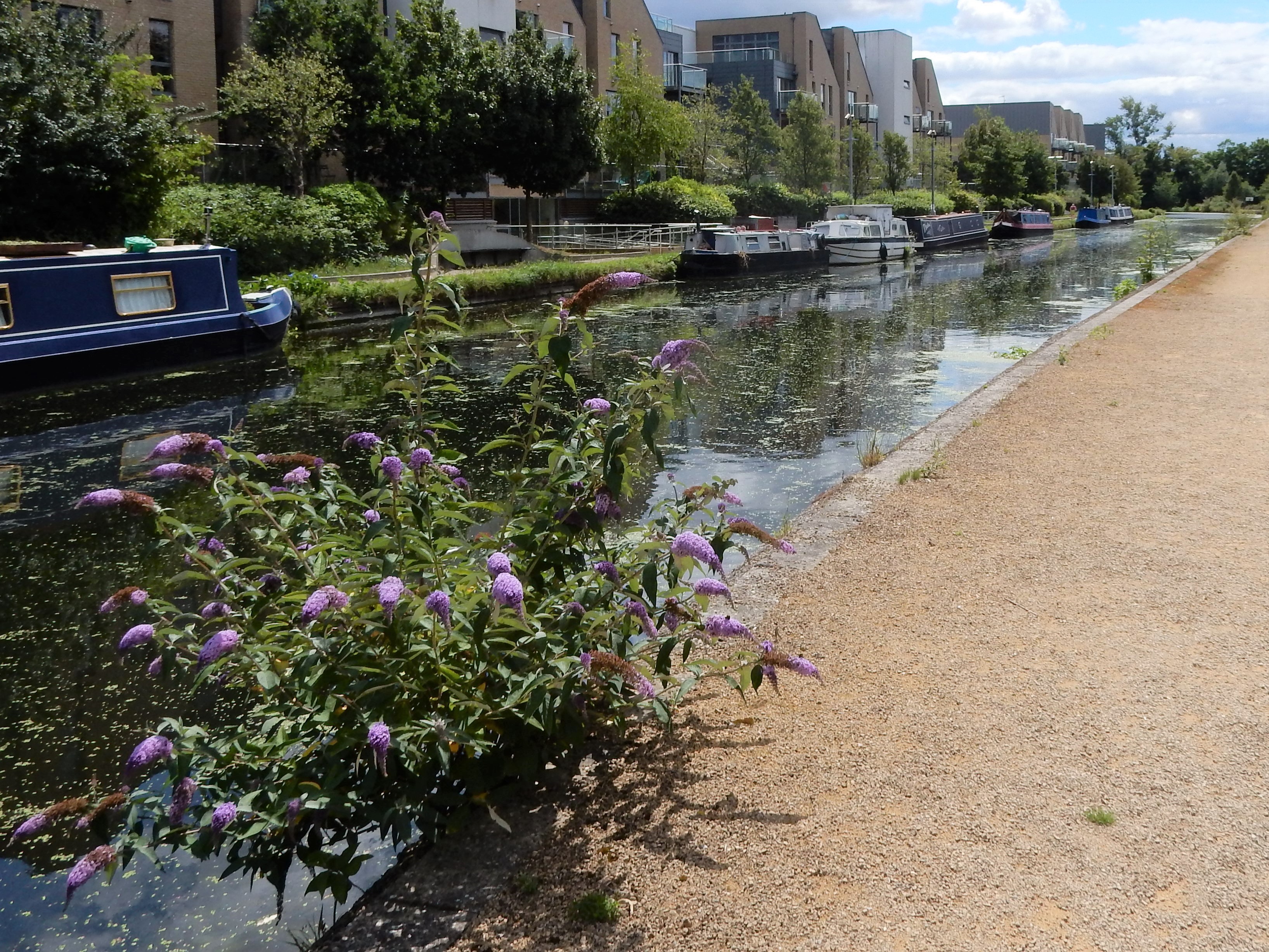
Cowley Peachey is primarily a residential neighborhood, offering a peaceful and picturesque setting for its residents. It is known for its attractive housing developments, which range from modern apartments to charming Victorian and Edwardian houses. The area also benefits from its proximity to the Grand Union Canal, providing scenic walks and recreational opportunities for locals.
Despite its relatively small size, Cowley Peachey boasts a range of amenities to cater to its residents' needs. These include a number of local shops, convenience stores, and supermarkets, ensuring that daily necessities are easily accessible. The nearby towns of Uxbridge and West Drayton also provide a wider range of shopping and leisure facilities, including restaurants, pubs, and entertainment venues.
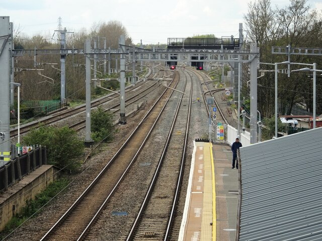
Transport links in Cowley Peachey are excellent, with West Drayton railway station providing regular services to London Paddington, making it an ideal location for commuters. The area is also well-connected by road, with easy access to the M4 and M25 motorways, making travel to other parts of the country convenient.
Overall, Cowley Peachey offers a tranquil and well-connected residential area, appealing to individuals and families seeking a peaceful suburban lifestyle within reach of both London and the surrounding countryside.
If you have any feedback on the listing, please let us know in the comments section below.
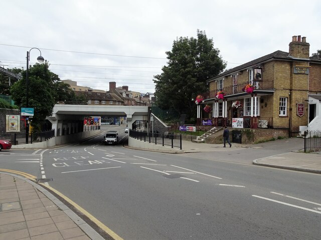
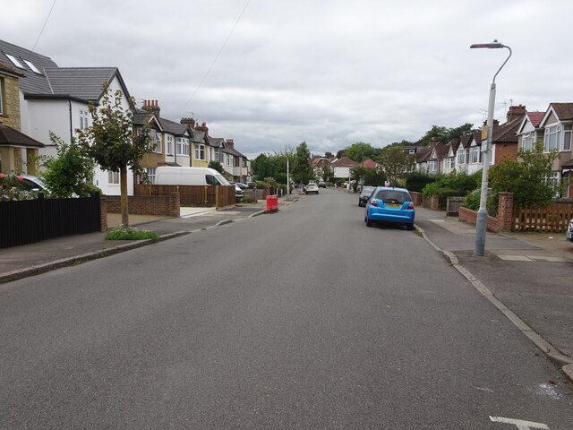
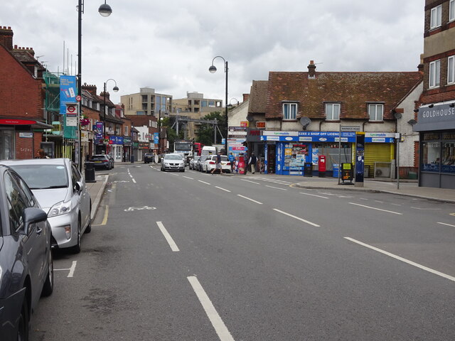
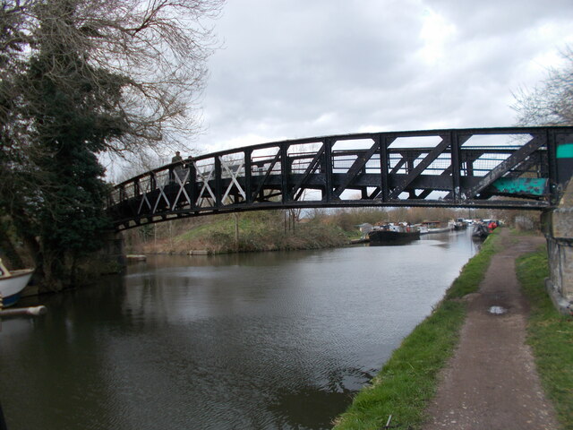
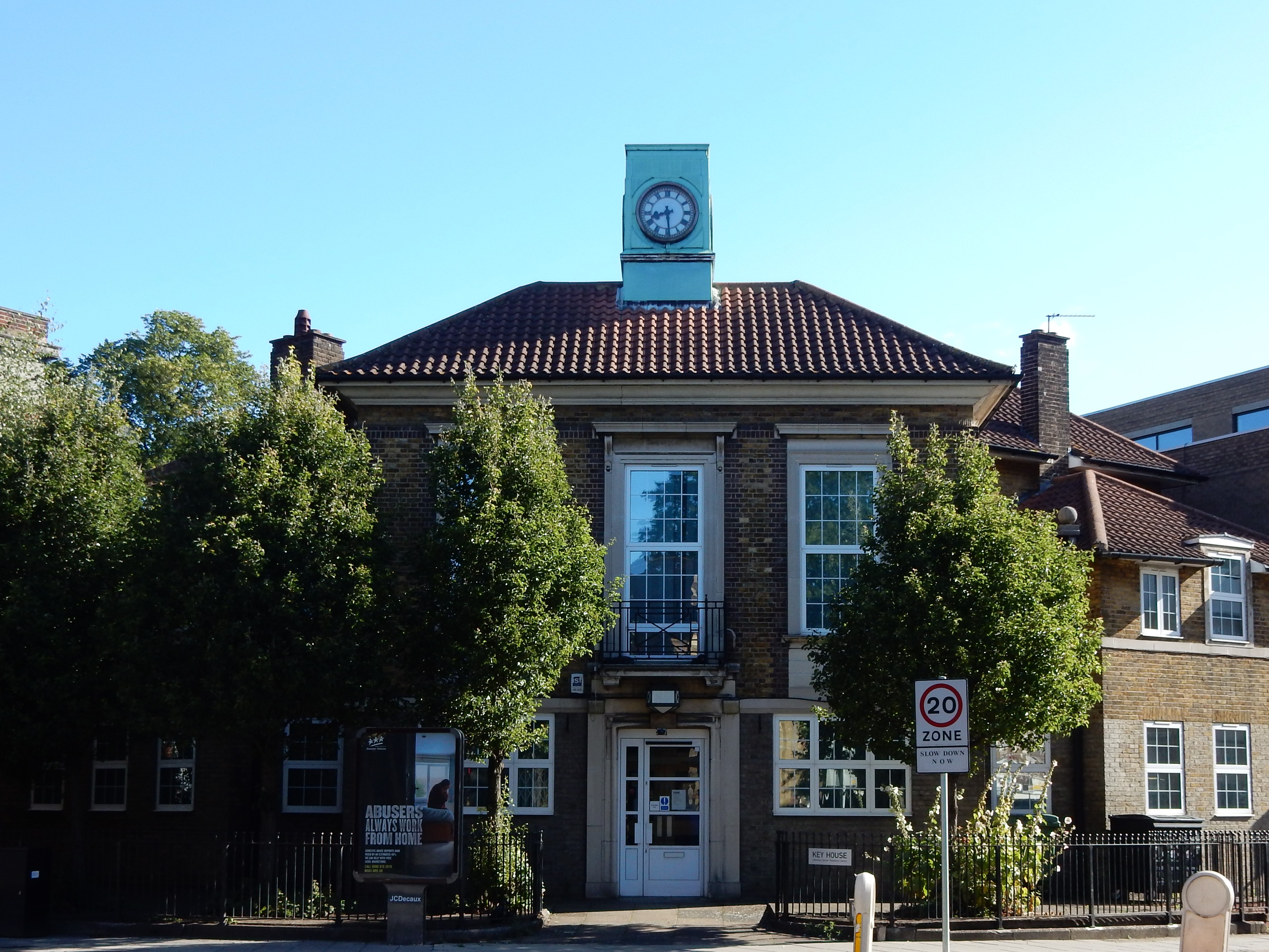
Cowley Peachey Images
Images are sourced within 2km of 51.520569/-0.48153969 or Grid Reference TQ0581. Thanks to Geograph Open Source API. All images are credited.
Cowley Peachey is located at Grid Ref: TQ0581 (Lat: 51.520569, Lng: -0.48153969)
Unitary Authority: Hillingdon
Police Authority: Metropolitan
What 3 Words
///woes.detect.plant. Near West Drayton, London
Nearby Locations
Related Wikis
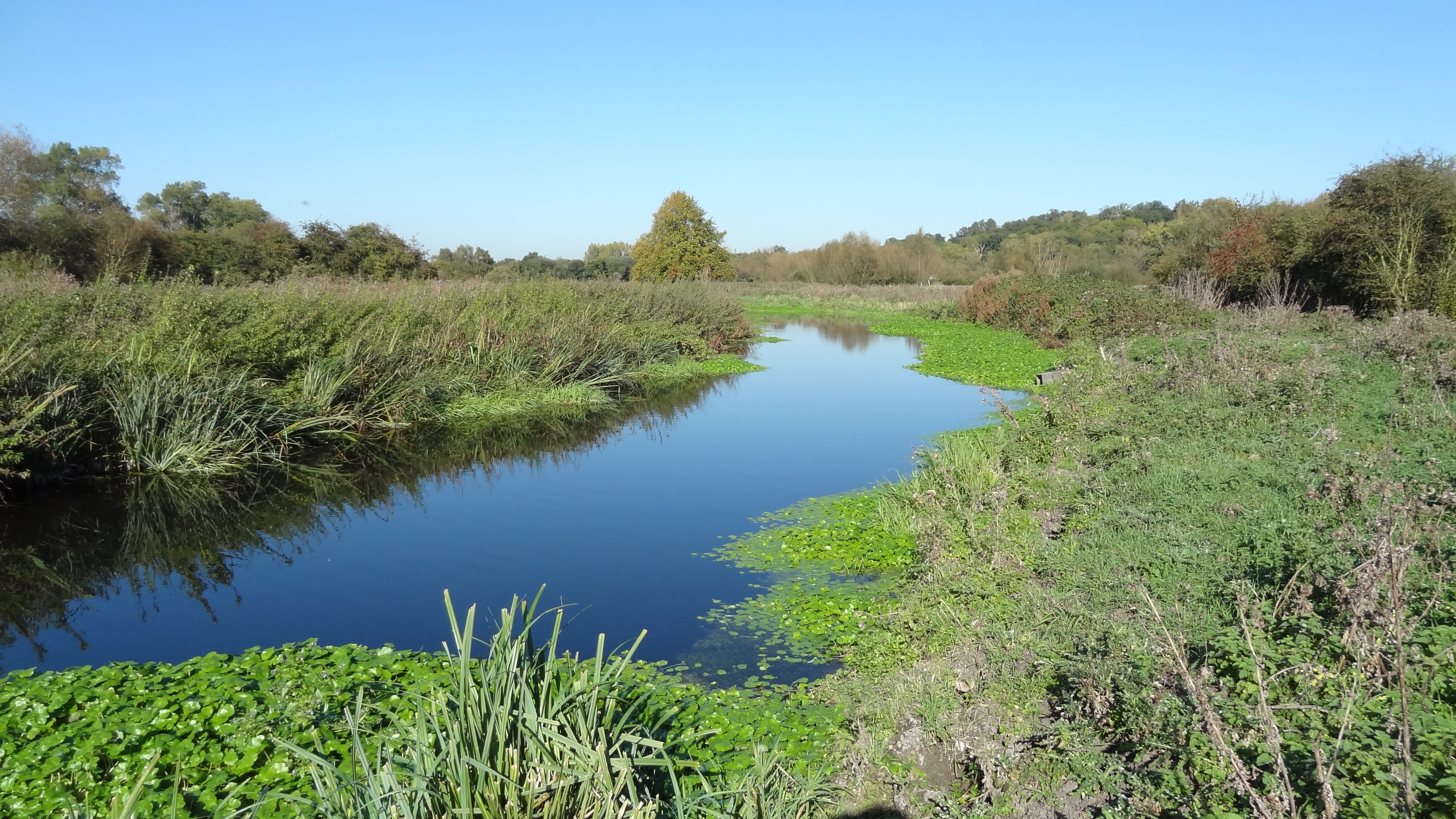
Frays River
Frays River is a semi-canalised short river in England that branches off the River Colne at Uxbridge Moor and rejoins it at West Drayton. It is believed...

River Pinn
The Pinn is a suburban, outer west London river. It has dendritic headwaters, the furthest is considered its source – in Harrow Weald. Its confluence with...

Cowley, London
Cowley is a village contiguous with the town of Uxbridge in the London Borough of Hillingdon. A largely suburban village with 16 listed buildings, Cowley...

The Shovel, Cowley
The Malt Shovel is a Grade II listed public house at Iver Lane, Cowley, London.It was built early 19th century. It is now called The Malt Shovel. ��2...

Cowley railway station
Cowley Railway Station was a station on the Uxbridge branch of the Great Western Railway in Cowley, London. The station was opened to serve the small settlement...
Yiewsley
Yiewsley ( YOOZ-lee) is a large suburban village in the London Borough of Hillingdon, England, 2 miles (3 km) south of Uxbridge, the borough's commercial...

The Crown, Cowley
The Crown is a Grade II listed public house at High Street, Cowley, London.It dates from the 16th century. == References ==
Yiewsley and West Drayton Urban District
Yiewsley and West Drayton was a local government district in Middlesex, England from 1929 to 1965. Its area became the south-west of the London Borough...
Nearby Amenities
Located within 500m of 51.520569,-0.48153969Have you been to Cowley Peachey?
Leave your review of Cowley Peachey below (or comments, questions and feedback).