Britain, Little
Settlement in Middlesex
England
Britain, Little
Britain, Little, Middlesex is a small village located in the county of Middlesex, England. Situated approximately 15 miles west of London, it falls within the London commuter belt. With a population of around 2,000 residents, it is a close-knit community that offers a peaceful and picturesque setting.
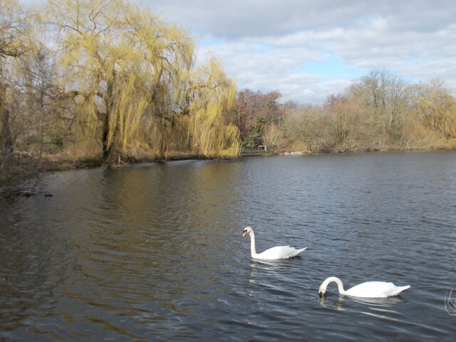
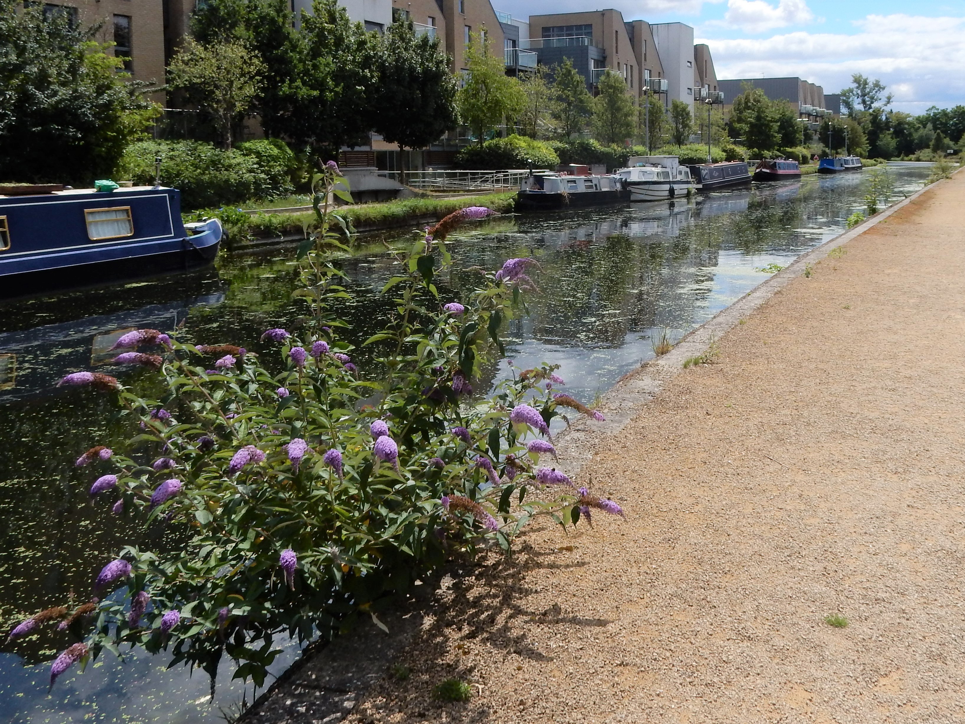
The village is known for its charming English countryside, characterized by rolling hills, lush green fields, and meandering streams. It is surrounded by several larger towns, including Uxbridge and Hayes, which provide convenient access to a range of amenities and services.
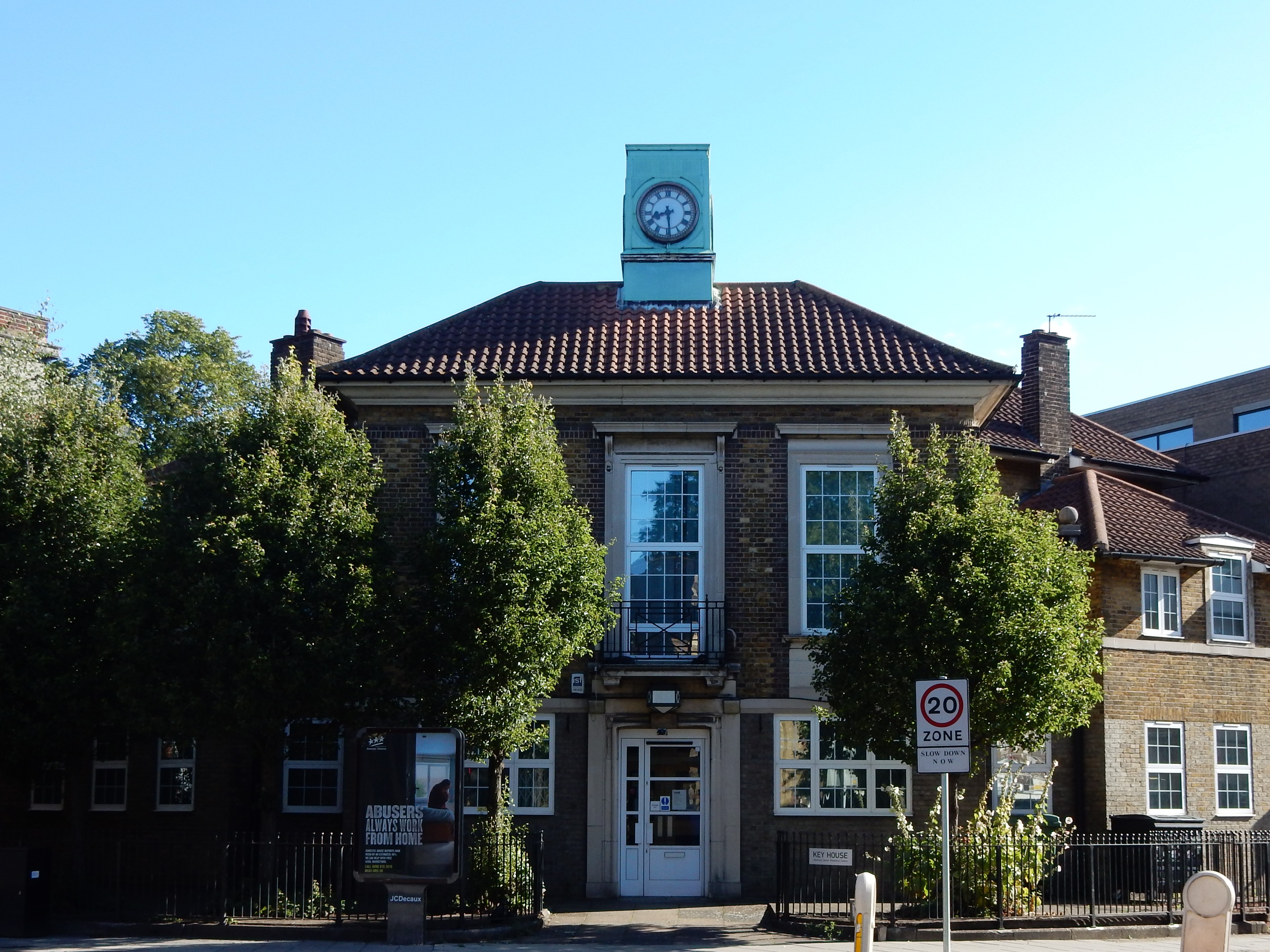
The heart of Britain, Little comprises a quaint village center with a historic church, local shops, and a few traditional pubs. The architecture of the buildings reflects the village's rich history, with some properties dating back several centuries.
The community in Britain, Little takes pride in organizing various events and activities throughout the year. The village fete, held annually, brings locals together for a day of celebration, featuring live music, games, and food stalls. Additionally, the village hosts a weekly farmer's market, offering fresh produce and locally sourced goods.
Nature lovers are drawn to the area surrounding Britain, Little, as it boasts several nature reserves and parks. Residents and visitors can explore the picturesque countryside through numerous walking and cycling trails that crisscross the landscape.
Overall, Britain, Little, Middlesex is a charming village that offers a harmonious blend of rural living and accessibility to urban amenities. Its picturesque surroundings, strong sense of community, and proximity to London make it an attractive place to live or visit.
If you have any feedback on the listing, please let us know in the comments section below.
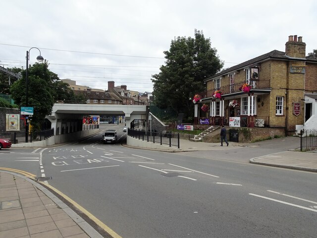
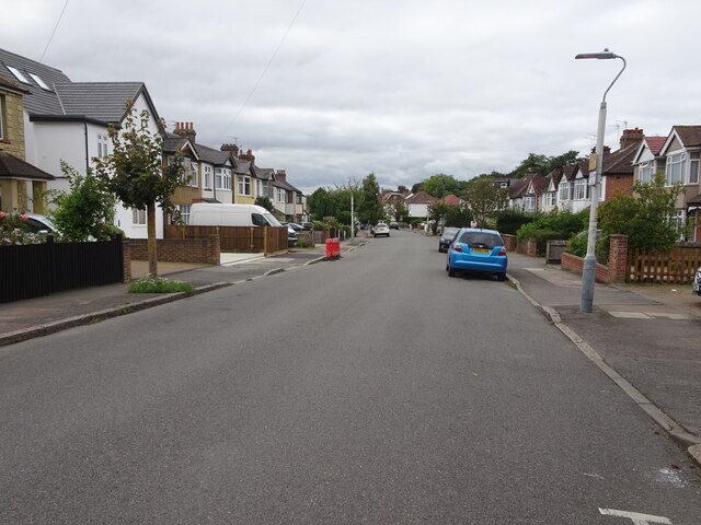
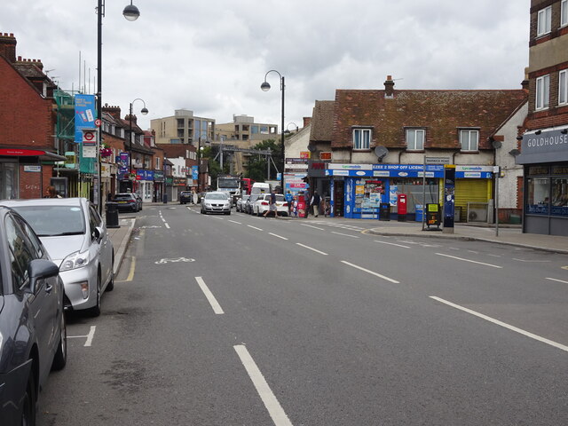
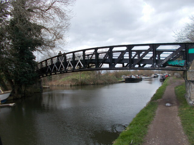
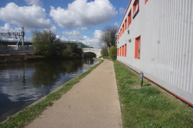
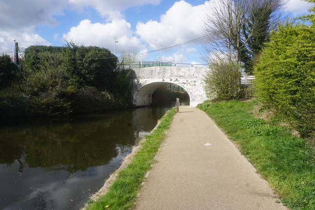
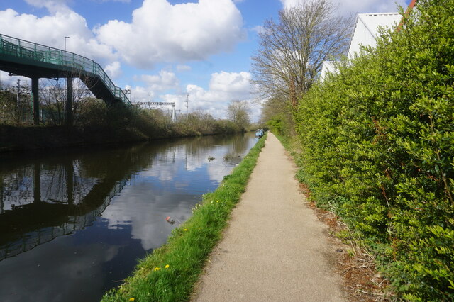
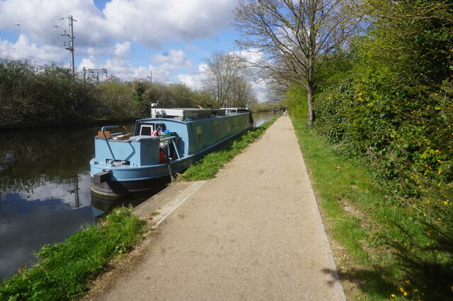
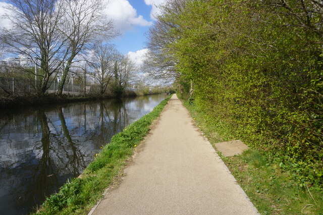
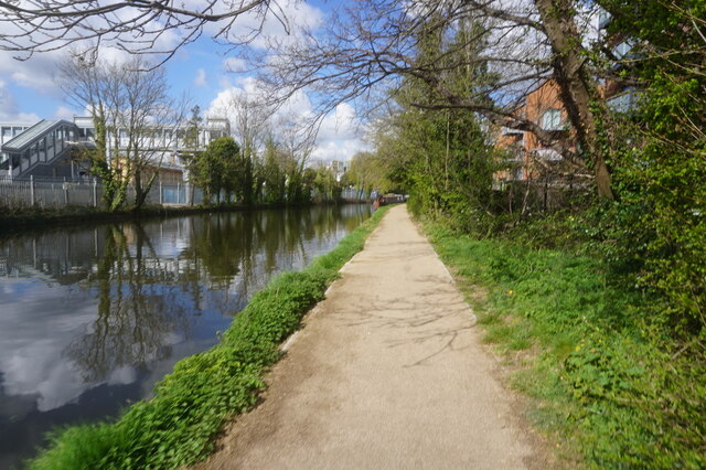
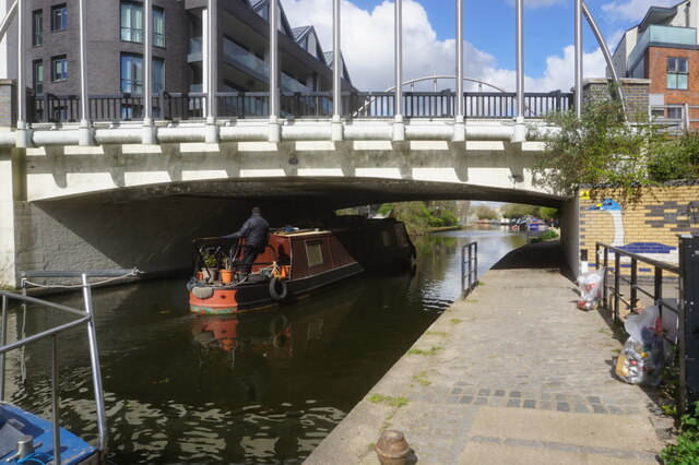
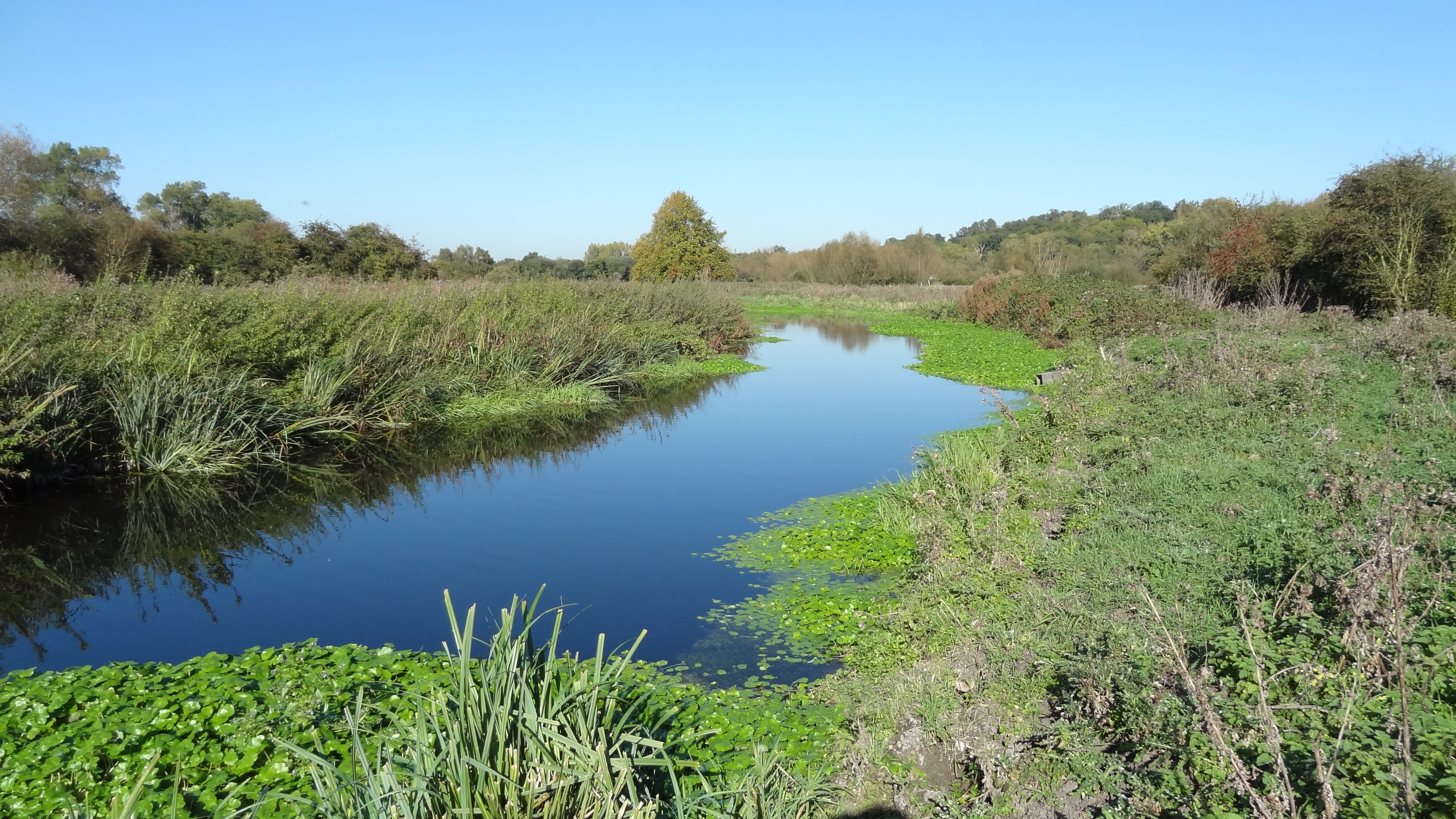
Britain, Little Images
Images are sourced within 2km of 51.520788/-0.485842 or Grid Reference TQ0581. Thanks to Geograph Open Source API. All images are credited.


Britain, Little is located at Grid Ref: TQ0581 (Lat: 51.520788, Lng: -0.485842)
Unitary Authority: Hillingdon
Police Authority: Metropolitan
What 3 Words
///hoot.lowest.flat. Near Iver, Buckinghamshire
Nearby Locations
Related Wikis
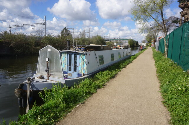
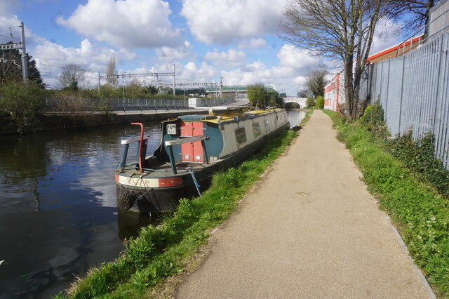
Frays River
Frays River is a semi-canalised short river in England that branches off the River Colne at Uxbridge Moor and rejoins it at West Drayton. It is believed...

River Pinn
The Pinn is a suburban, outer west London river. It has dendritic headwaters, the furthest is considered its source – in Harrow Weald. Its confluence with...

Cowley, London
Cowley is a village contiguous with the town of Uxbridge in the London Borough of Hillingdon. A largely suburban village with 16 listed buildings, Cowley...

The Shovel, Cowley
The Malt Shovel is a Grade II listed public house at Iver Lane, Cowley, London.It was built early 19th century. It is now called The Malt Shovel. ��2...

The Crown, Cowley
The Crown is a Grade II listed public house at High Street, Cowley, London.It dates from the 16th century. == References ==

Cowley railway station
Cowley Railway Station was a station on the Uxbridge branch of the Great Western Railway in Cowley, London. The station was opened to serve the small settlement...
Yiewsley
Yiewsley ( YOOZ-lee) is a large suburban village in the London Borough of Hillingdon, England, 2 miles (3 km) south of Uxbridge, the borough's commercial...
Yiewsley and West Drayton Urban District
Yiewsley and West Drayton was a local government district in Middlesex, England from 1929 to 1965. Its area became the south-west of the London Borough...
Nearby Amenities
Located within 500m of 51.520788,-0.485842Have you been to Britain, Little?
Leave your review of Britain, Little below (or comments, questions and feedback).