Cowley Peachy
Settlement in Middlesex
England
Cowley Peachy
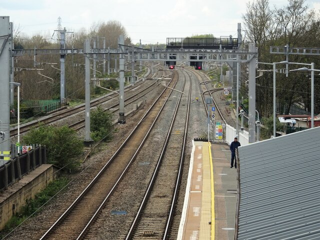
Cowley Peachy is a small village located in the county of Middlesex, England. Situated approximately 18 miles west of central London, it falls within the London Borough of Hillingdon. The village derives its name from the nearby Cowley Peachey Junction, which serves as a major railway interchange.
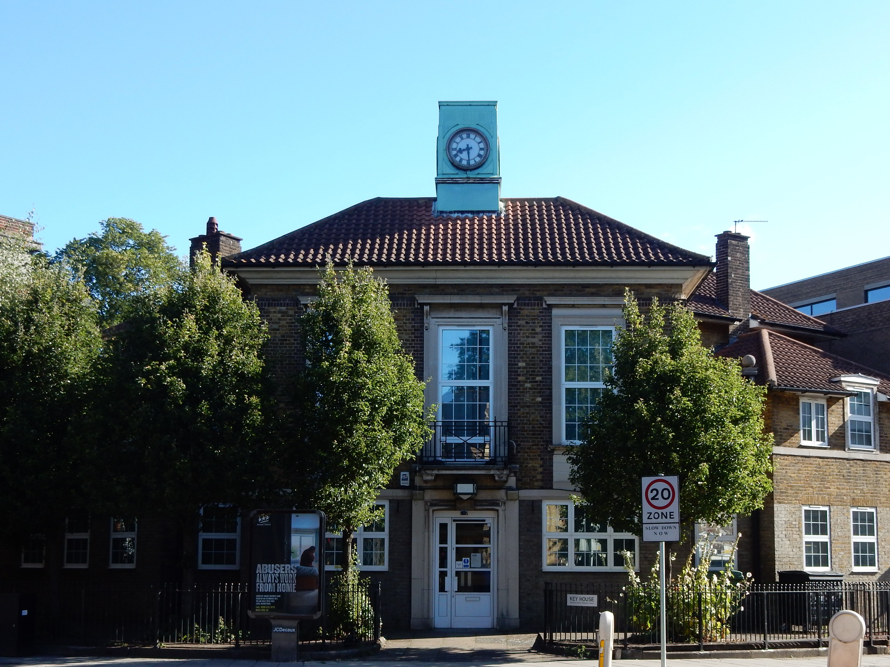
Historically, Cowley Peachy was a rural area known for its agricultural activities, with farming being the primary occupation of its inhabitants. Over time, the village has witnessed significant development and urbanization, resulting in a mix of both rural and suburban characteristics. Despite this, Cowley Peachy has managed to retain some of its traditional charm, with a few older buildings still standing as a testament to its past.
The village benefits from its proximity to major transportation links. Cowley Peachy Junction, located to the east of the village, offers convenient access to London and other parts of the country through its various rail connections. Additionally, the nearby M4 motorway provides easy access to Heathrow Airport and the wider motorway network.
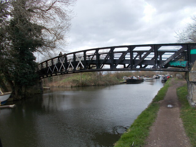
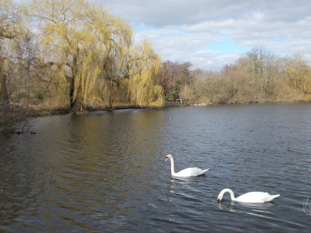
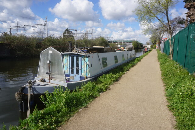
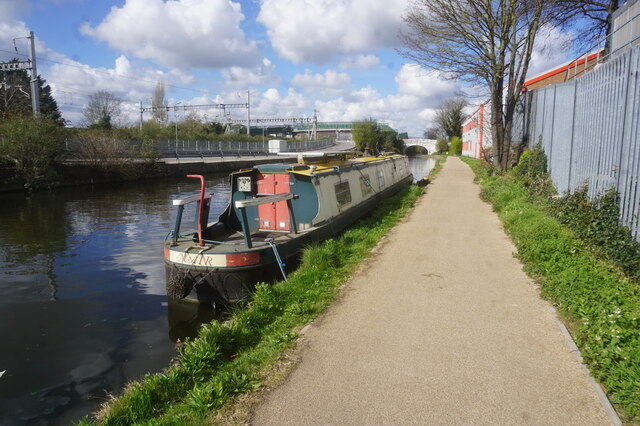
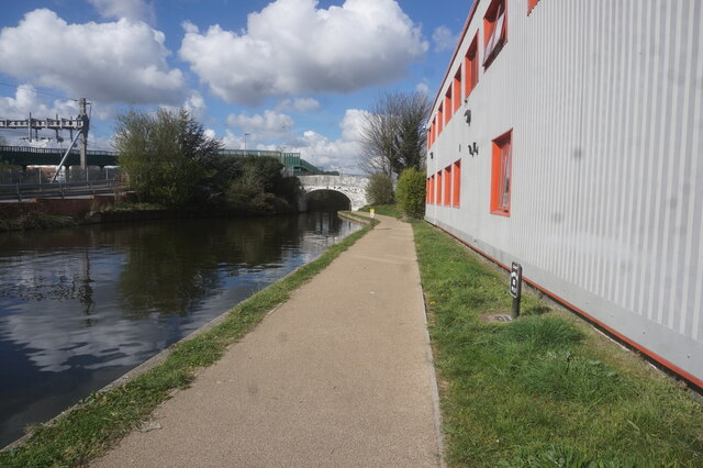
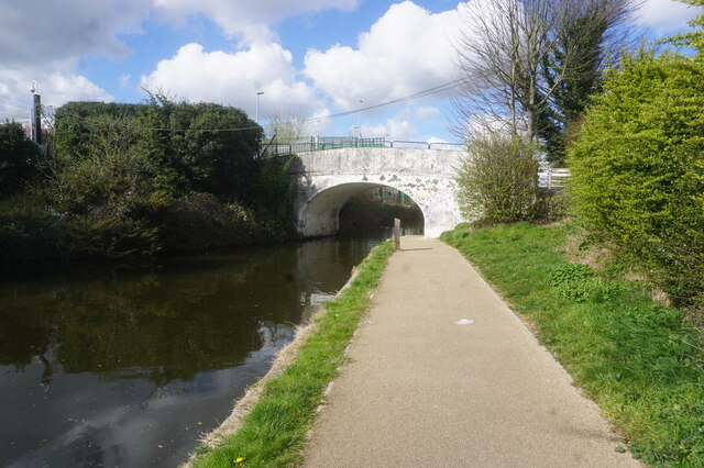
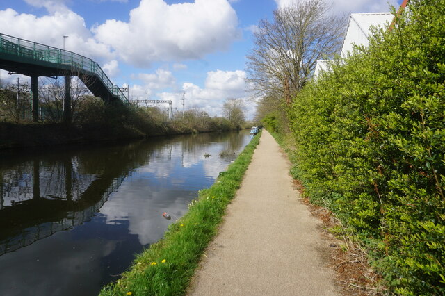
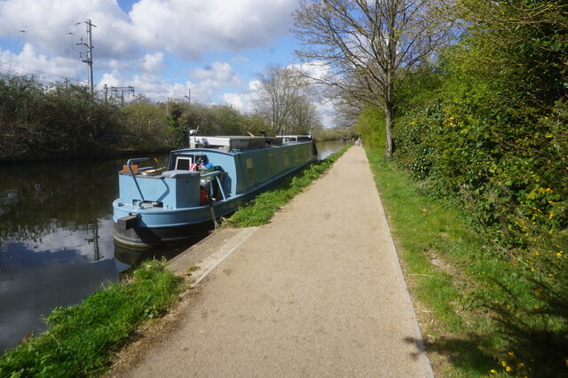
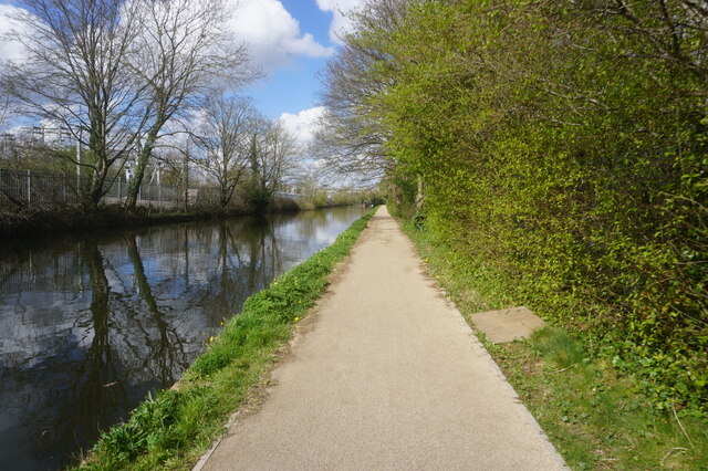
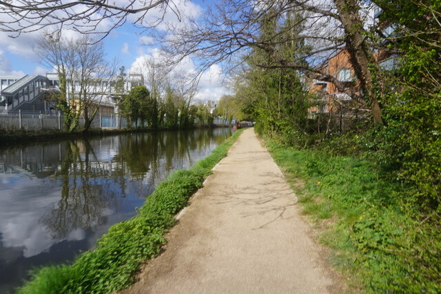
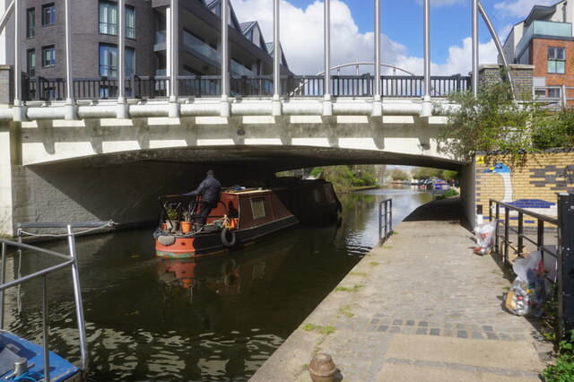
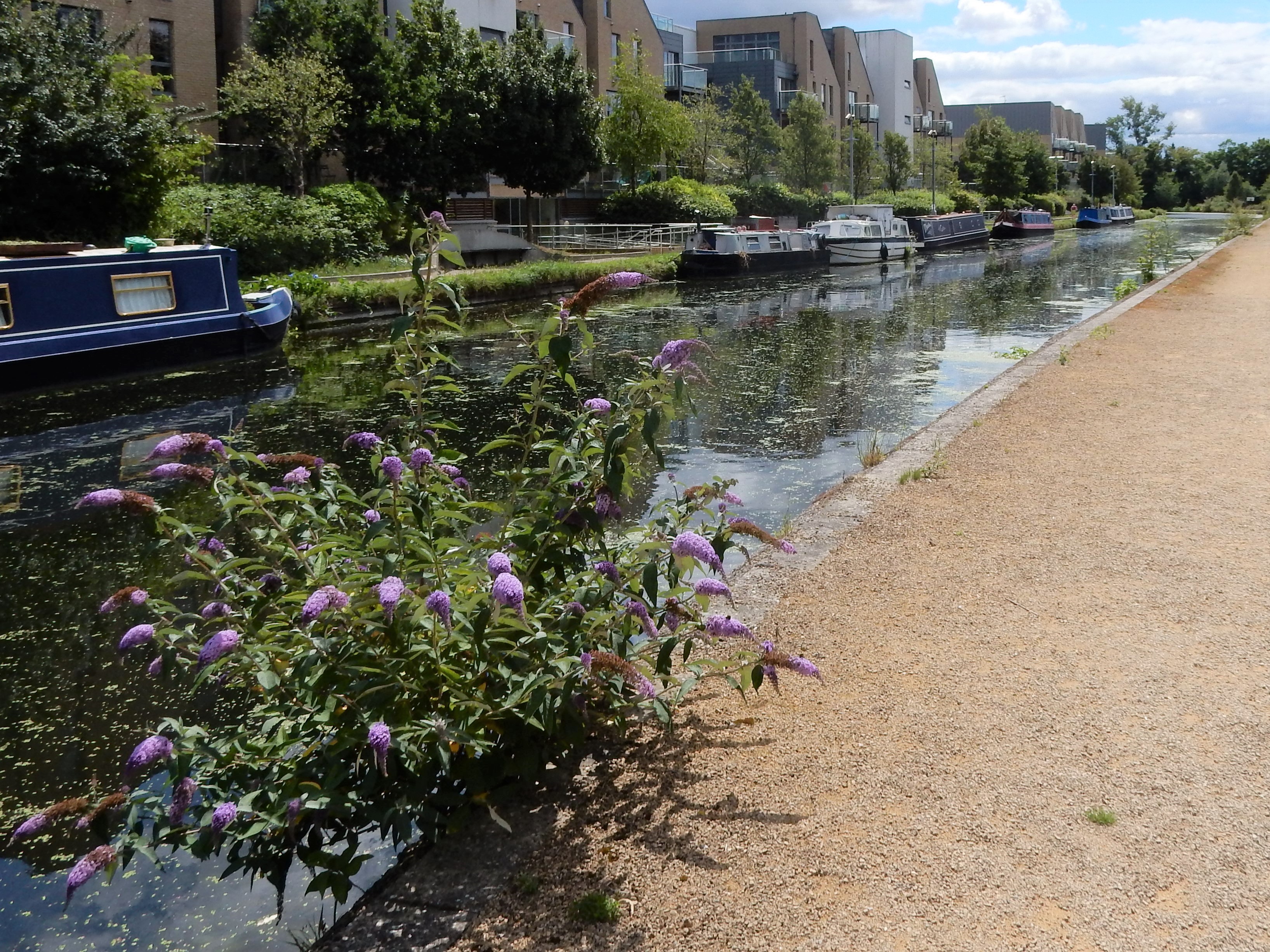
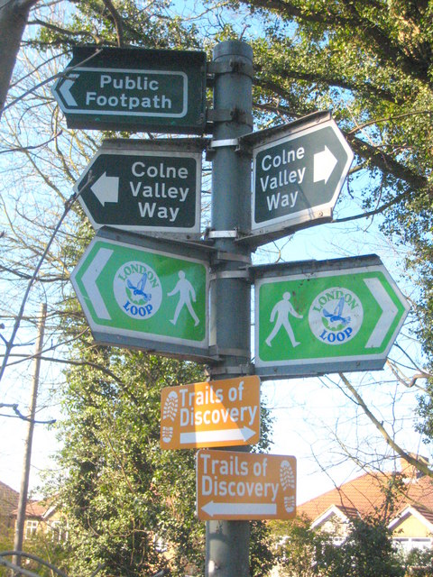
Cowley Peachy is also known for its natural beauty. The village is surrounded by picturesque countryside, offering residents and visitors opportunities for leisurely walks, cycling, and other outdoor activities. The nearby Grand Union Canal provides a peaceful setting for boating enthusiasts and is popular among locals for its scenic towpath walks.
In terms of amenities, Cowley Peachy boasts a few local shops and amenities to cater to the needs of its residents. However, for a wider range of facilities and services, the larger neighboring towns of Uxbridge and West Drayton are easily accessible.
Overall, Cowley Peachy offers a mix of rural tranquility and convenient access to urban amenities, making it an appealing place to live for those seeking a balance between countryside living and easy city connectivity.
If you have any feedback on the listing, please let us know in the comments section below.
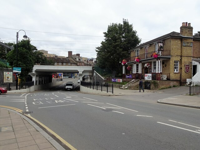
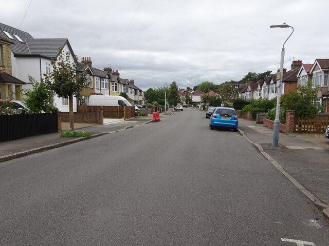
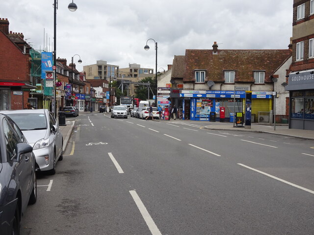
Cowley Peachy Images
Images are sourced within 2km of 51.518172/-0.4881052 or Grid Reference TQ0581. Thanks to Geograph Open Source API. All images are credited.


Cowley Peachy is located at Grid Ref: TQ0581 (Lat: 51.518172, Lng: -0.4881052)
Unitary Authority: Hillingdon
Police Authority: Metropolitan
What 3 Words
///pulled.trying.energy. Near Iver, Buckinghamshire
Nearby Locations
Related Wikis
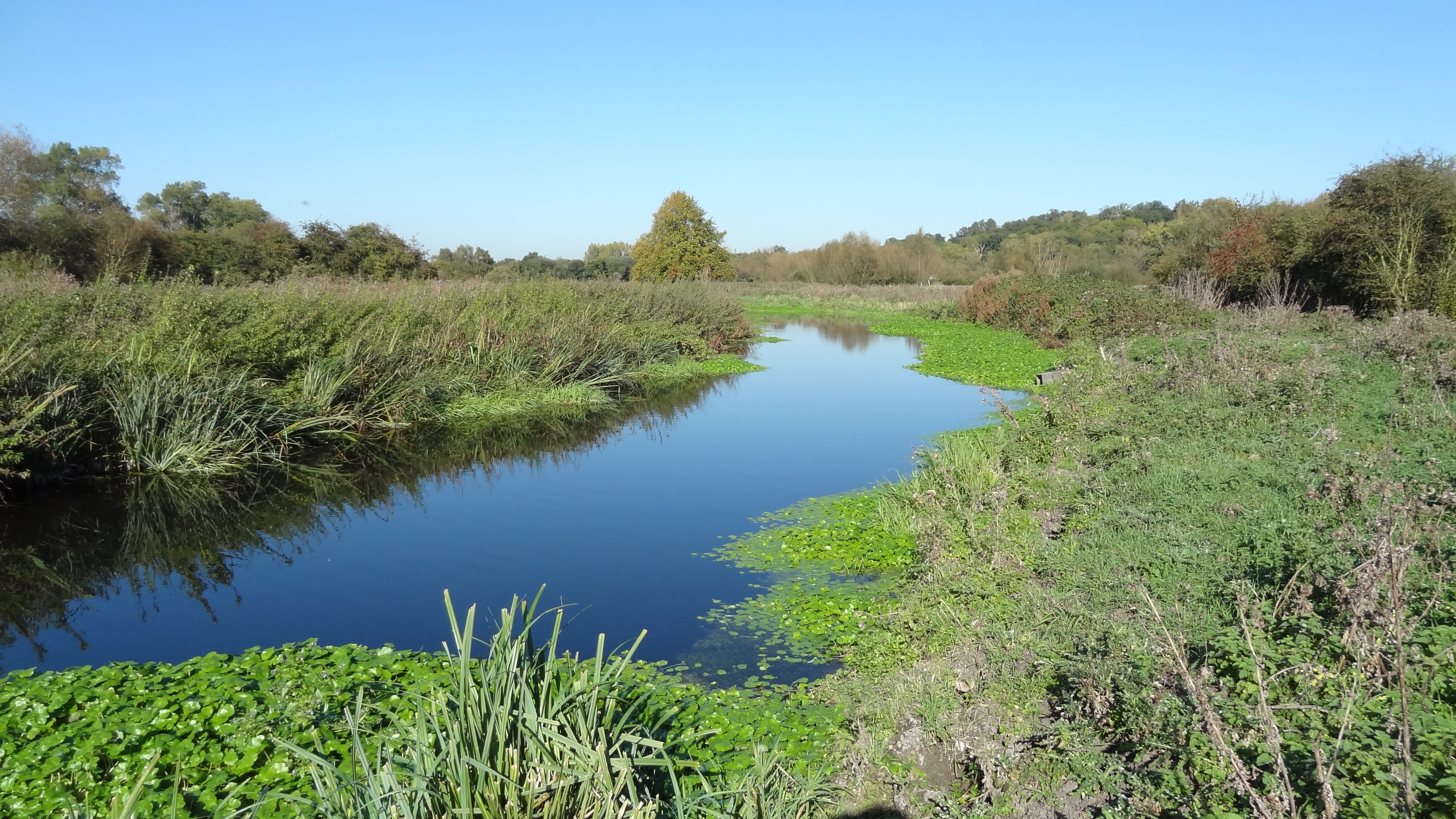
Frays River
Frays River is a semi-canalised short river in England that branches off the River Colne at Uxbridge Moor and rejoins it at West Drayton. It is believed...

River Pinn
The Pinn is a suburban, outer west London river. It has dendritic headwaters, the furthest is considered its source – in Harrow Weald. Its confluence with...

Cowley, London
Cowley is a village contiguous with the town of Uxbridge in the London Borough of Hillingdon. A largely suburban village with 16 listed buildings, Cowley...
Yiewsley and West Drayton Urban District
Yiewsley and West Drayton was a local government district in Middlesex, England from 1929 to 1965. Its area became the south-west of the London Borough...

The Shovel, Cowley
The Malt Shovel is a Grade II listed public house at Iver Lane, Cowley, London.It was built early 19th century. It is now called The Malt Shovel. ��2...
Yiewsley
Yiewsley ( YOOZ-lee) is a large suburban village in the London Borough of Hillingdon, England, 2 miles (3 km) south of Uxbridge, the borough's commercial...
Iver
Iver is a large civil parish in Buckinghamshire, England. In addition to the central clustered village, the parish includes the residential neighbourhoods...

West Drayton railway station
West Drayton railway station serves West Drayton and Yiewsley, western suburbs of London. It is served and managed by the Elizabeth line. It is 13 miles...
Nearby Amenities
Located within 500m of 51.518172,-0.4881052Have you been to Cowley Peachy?
Leave your review of Cowley Peachy below (or comments, questions and feedback).