Cowsden

Settlement in Worcestershire Wychavon

England

Cowsden

Bow Brook below Court Farm Late winter but no floods.
Bow Brook below Court Farm Credit: Liz Stone

Cowsden is a small village located in the county of Worcestershire, England. Situated in the western part of the county, it lies approximately 8 miles southwest of the city of Worcester. The village is nestled amidst picturesque countryside, encompassing rolling hills, sprawling farmland, and charming rural landscapes.

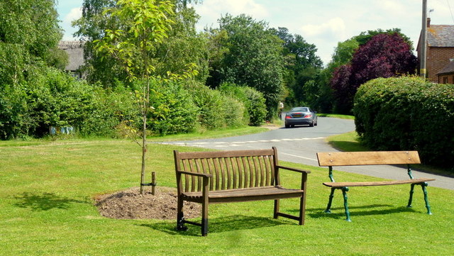
Cowsden is characterized by its tranquil and close-knit community, offering a peaceful and idyllic setting for its residents. The village is adorned with a mix of traditional stone-built cottages, farmhouses, and a few modern dwellings, reflecting a blend of historical and contemporary architecture.

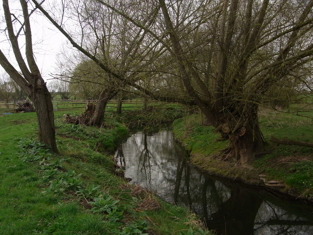
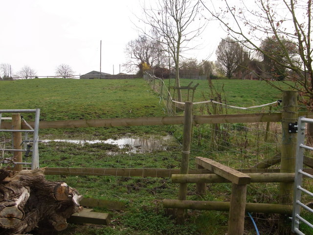
Despite its small size, Cowsden is rich in natural beauty. The surrounding countryside provides ample opportunities for outdoor activities such as hiking, cycling, and horseback riding. The nearby River Teme also offers fishing and boating opportunities for enthusiasts.

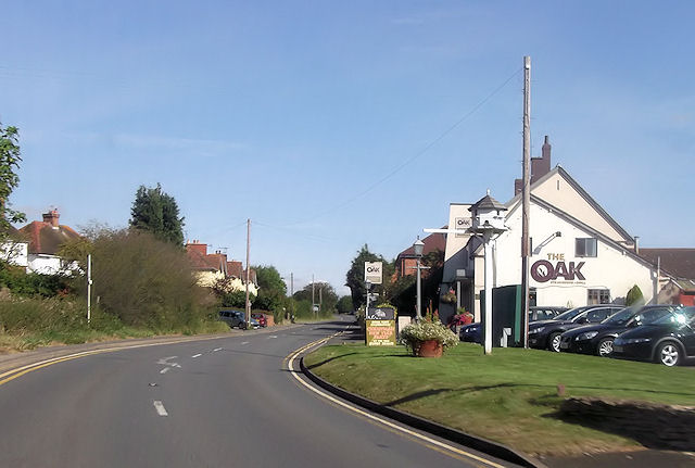
The village lacks major amenities, with no shops or schools within its immediate vicinity. However, residents can easily access essential services and amenities in nearby towns such as Worcester, which offers a wider range of shopping, educational, and recreational facilities.

Cowsden's historic roots are evident in the remnants of its past, including a centuries-old church and a few historic buildings that dot the village. These landmarks serve as reminders of the village's heritage and contribute to its charm.

Overall, Cowsden is a peaceful and picturesque village, offering a serene lifestyle amidst the stunning Worcestershire countryside. Its tight-knit community and natural beauty make it an attractive place for those seeking a tranquil retreat away from the hustle and bustle of city life.

If you have any feedback on the listing, please let us know in the comments section below.
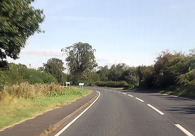
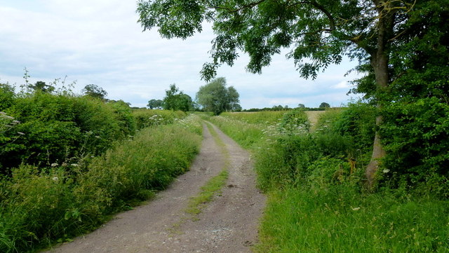
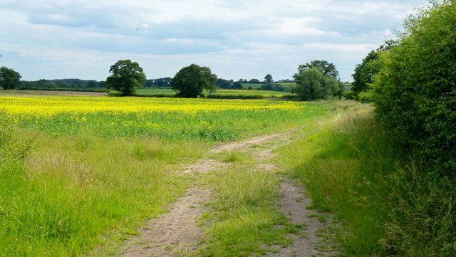
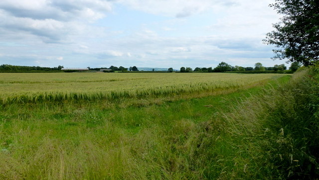
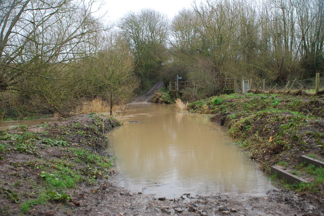
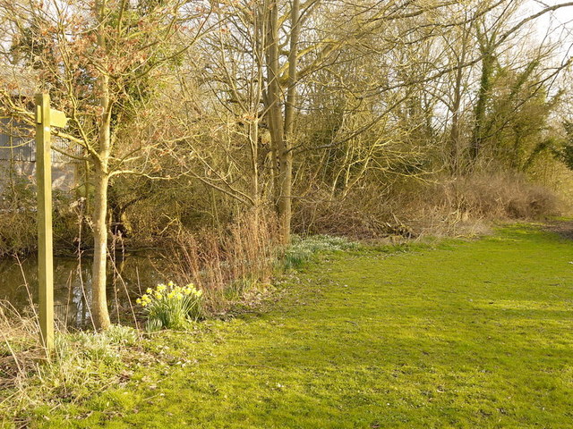
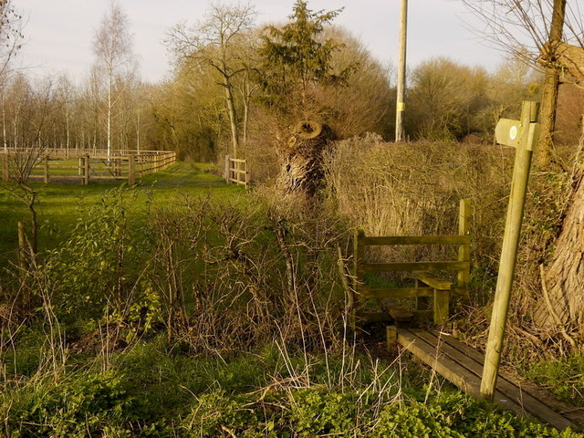
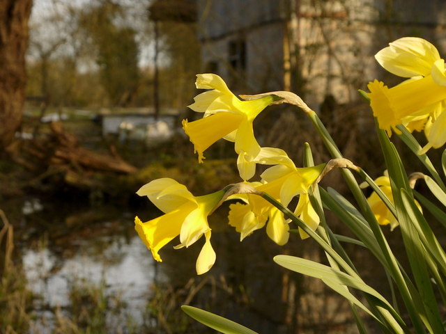
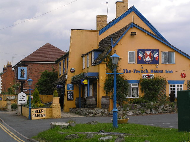
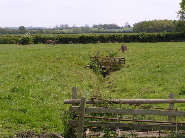
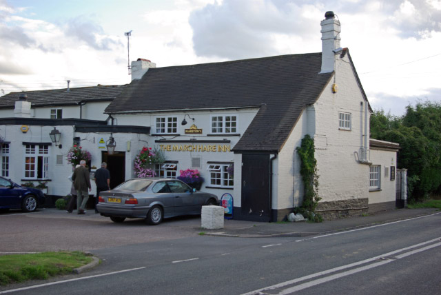
Cowsden Images

Images are sourced within 2km of 52.179404/-2.0770412 or Grid Reference SO9453. Thanks to Geograph Open Source API. All images are credited.

Bow Brook below Court Farm Late winter but no floods.
Bow Brook below Court Farm
Late winter but no floods.
Footpath from the farm Boggy area making footpath almost impassable,below Court Farm.
Footpath from the farm
Boggy area making footpath almost impassable,below Court Farm.
The Oak at Upton Snodsbury
B4082 junction at Upton Snodsbury
Libbery crossroads on A422
Byway to Huddington The vaguely-metalled track is downgraded to a bridleway a short distance further north from this spot.
Byway to Huddington
The vaguely-metalled track is downgraded to a bridleway a short distance further north from this spot.
Field-edge bridleway Heading south-west towards Edward's Bridge.
Field-edge bridleway
Heading south-west towards Edward's Bridge.
Barley field Cereal-growing land on the edge of the Vale of Evesham.
Bredon Hill broods in the far distance.
Barley field
Cereal-growing land on the edge of the Vale of Evesham. Bredon Hill broods in the far distance.
Ford at White Ladies Aston This ford on the Bow Brook is found at Edward's Bridge on the byway known as Edward's Lane near White Ladies Aston.
Ford at White Ladies Aston
This ford on the Bow Brook is found at Edward's Bridge on the byway known as Edward's Lane near White Ladies Aston.
Footpath to Naunton Beauchamp Pictured from the lane by Green Farm, North Piddle.
Footpath to Naunton Beauchamp
Pictured from the lane by Green Farm, North Piddle.
Footpath north at North Piddle Running alongside Green Farm, unseen to the right.
Footpath north at North Piddle
Running alongside Green Farm, unseen to the right.
Daffodils by the old mill pond, North Piddle A delightful sight on a fine March afternoon.
Daffodils by the old mill pond, North Piddle
A delightful sight on a fine March afternoon.
Seating, Naunton Beauchamp Pictured on a sunny June morning.
Seating, Naunton Beauchamp
Pictured on a sunny June morning.
Village infrastructure, Naunton Beauchamp Phone kiosk, notice board, salt bin.
The lane is Seaford Lane.
Village infrastructure, Naunton Beauchamp
Phone kiosk, notice board, salt bin. The lane is Seaford Lane.
Upton Snodsbury The Post Office and Village Stores in the wonderfully named village of Upton Snodsbury.
Upton Snodsbury
The Post Office and Village Stores in the wonderfully named village of Upton Snodsbury.
Tower silo at Moorend Barn.
The French House Inn. "Le Pub avec le Grub" as the sign says!
The French House Inn.
"Le Pub avec le Grub" as the sign says!
Donkeys grazing in a field near North Piddle.
Show me another place!

Cowsden is located at Grid Ref: SO9453 (Lat: 52.179404, Lng: -2.0770412)

Administrative County: Worcestershire

District: Wychavon

Police Authority: West Merica

What 3 Words

///reduction.lushly.prosper. Near Kington, Worcestershire

Nearby Locations

Cowsden Upton Snodsbury

Related Wikis

Upton Snodsbury

Upton Snodsbury is a village in Worcestershire, England, United Kingdom, located five miles east of Worcester just off the A422 road. It is surrounded...
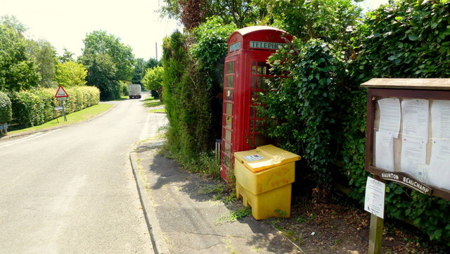
Naunton Beauchamp

Naunton Beauchamp (pronounced 'Bo-schomp') is a village and is also a civil parish within Wychavon district in Worcestershire, England. It is in the centre...

Broughton Hackett

Broughton Hackett is a village and civil parish in the Wychavon district of the county of Worcestershire, England. It is about 5 miles east of the city...

St Michael's Church, Churchill

St Michael's Church is a redundant Anglican church in the village of Churchill in Oswaldslow, Worcestershire, England. It is recorded in the National...

Churchill, Wychavon

Churchill or Churchill by Spetchley is a village and civil parish 4 miles (6.4 km) from Worcester, in the Wychavon district, in the county of Worcestershire...

North Piddle

North Piddle is a small civil parish in the Wychavon district of Worcestershire, England. It is located within a loop of Piddle Brook. North Piddle is...

St John the Baptist, White Ladies Aston

St John the Baptist is a church in White Ladies Aston, Worcestershire, England. It has been designated as a Grade II* listed building by Historic England...

White Ladies Aston

White Ladies Aston is a village in the Wychavon local government district of Worcestershire, England, United Kingdom, and also lends its name to the civil...

Related Videos

Upton Snodsbury 2: The Snoddening

The great return to the holiest village on earth. Special thanks to: my dad for his role, transportation and the fun trip. The villagers ...

Upton Snodsbury 2: The Snoddening (Official trailer)

The time is nearly upon us once more...

Upton Snodsbury.

Upton Snodsbury.

Driving On The A44 & A422 From Spetchley To Inkberrow, Worcester, England 17th July 2021

Driving along the A44 & A422 from Worcester through Spetchley, Broughton Hackett, Upton Snodsbury & Grafton Flyford to ...

Nearby Amenities

Located within 500m of 52.179404,-2.0770412
Cowsden Turn
Naptan AtcoCode: 2000G675013
Naptan Bearing: SE
Naptan BusStopType: CUS
Naptan CommonName: Cowsden Turn
Naptan Indicator: Adj
Naptan Landmark: Cowsden Lane
Naptan NaptanCode: wocgadmp
Naptan Street: B4082 Upton Snodsbury Road
Naptan Verified: no
Source: naptan_import
Lat/Long: 52.1818099/-2.0721931
Power: pole
Lat/Long: 52.1816461/-2.0788297
Power: pole
Lat/Long: 52.1794503/-2.0726578
Cowsden
Power: pole
Transformer: distribution
Voltage Primary: 11000
Lat/Long: 52.1804281/-2.0778089
Power: pole
Lat/Long: 52.1781655/-2.0701543
Location Transition: yes
Power: pole
Lat/Long: 52.1838719/-2.0768729
Power: pole
Lat/Long: 52.1818753/-2.0808769
Power: pole
Lat/Long: 52.1793268/-2.078756
Power: pole
Lat/Long: 52.1809484/-2.0772387
Power: pole
Lat/Long: 52.1820912/-2.0775533
Power: pole
Lat/Long: 52.1786582/-2.0711129
Power: pole
Lat/Long: 52.1824376/-2.0820707
Power: pole
Lat/Long: 52.1814226/-2.0767101
Power: pole
Lat/Long: 52.1825879/-2.077365
Power: pole
Lat/Long: 52.17903/-2.0718303
Power: pole
Lat/Long: 52.180572/-2.0740638
Power: pole
Lat/Long: 52.1815337/-2.0777842
Power: pole
Lat/Long: 52.1798906/-2.0735267
Power: pole
Lat/Long: 52.180141/-2.0781229
Power: pole
Lat/Long: 52.1809926/-2.0753753
Cowsden
Place: hamlet
Lat/Long: 52.1795767/-2.0779395
Power: pole
Lat/Long: 52.1765388/-2.0808578
Power: pole
Lat/Long: 52.1775586/-2.080088
Power: pole
Lat/Long: 52.1784336/-2.0794174
Cowsden Bank Farm
Power: pole
Transformer: distribution
Voltage Primary: 11000
Lat/Long: 52.1785742/-2.077682
Power: pole
Lat/Long: 52.1834103/-2.077049
The data included in this document is from www.openstreetmap.org. The data is made available under ODbL.

Have you been to Cowsden?

Leave your review of Cowsden below (or comments, questions and feedback).