Coursehorn

Settlement in Kent Tunbridge Wells

England

Coursehorn

Entrance to Sissinghurst Gardens The blue car is emerging from the entrance, on the A262.
Entrance to Sissinghurst Gardens Credit: Robin Webster

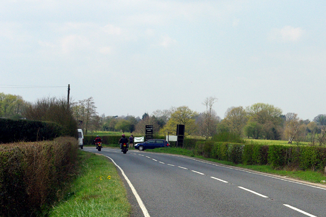
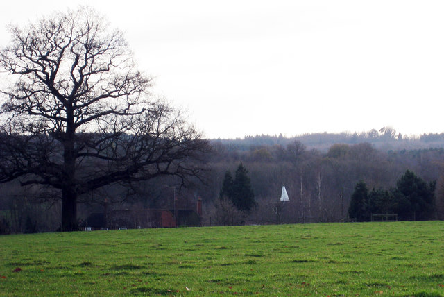
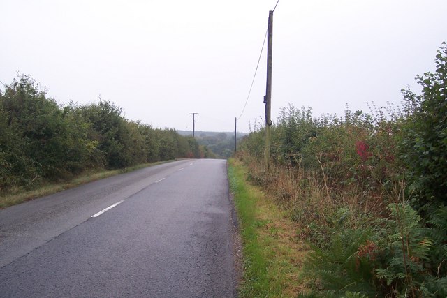
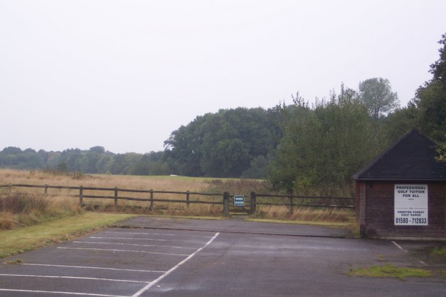
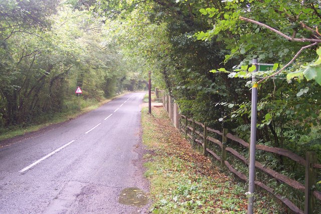
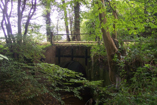
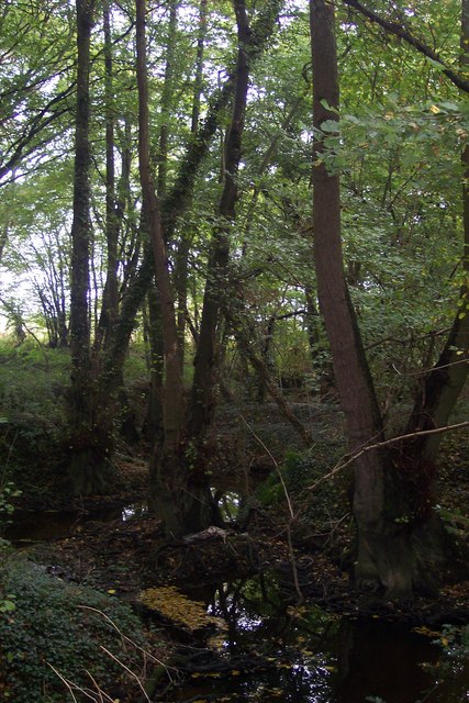
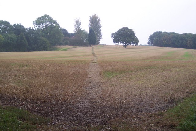
Coursehorn is a small village located in the county of Kent, England. Situated in the district of Tunbridge Wells, it is nestled amidst the picturesque countryside, offering residents and visitors a tranquil and idyllic setting. The village is surrounded by rolling hills, lush green fields, and beautiful woodlands, making it a haven for nature lovers and outdoor enthusiasts.

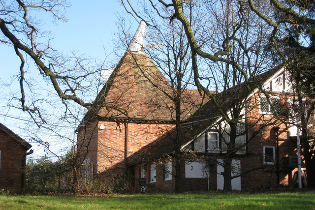
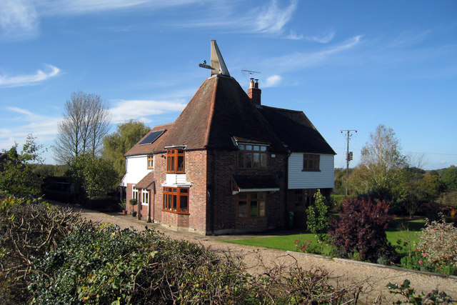
The history of Coursehorn dates back centuries, with evidence of settlements in the area from Roman times. Today, the village retains its rural charm, with a scattering of traditional cottages and farmhouses dotting the landscape. The local community is tight-knit and friendly, with a strong sense of pride in their village.

Despite its small size, Coursehorn offers a range of amenities to its residents. There is a local pub, The Horse and Hound, which serves as a popular gathering spot for locals and visitors alike. The village also boasts a community center, where various activities and events take place throughout the year, fostering a sense of community spirit.

For those who enjoy exploring the great outdoors, Coursehorn provides numerous opportunities. The surrounding countryside offers scenic walking trails, perfect for leisurely strolls or more challenging hikes. Additionally, the nearby Bewl Water reservoir provides opportunities for sailing, fishing, and other water-based activities.

Overall, Coursehorn is a charming and picturesque village, offering a peaceful retreat from the hustle and bustle of city life. Its natural beauty, sense of community, and range of amenities make it an attractive place to live or visit for those seeking a slower pace of life.

If you have any feedback on the listing, please let us know in the comments section below.
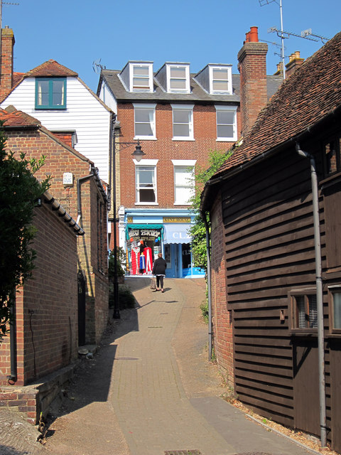
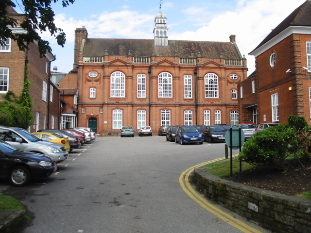
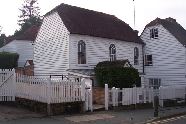
Coursehorn Images

Images are sourced within 2km of 51.096286/0.55411108 or Grid Reference TQ7836. Thanks to Geograph Open Source API. All images are credited.

Entrance to Sissinghurst Gardens The blue car is emerging from the entrance, on the A262.
Entrance to Sissinghurst Gardens
The blue car is emerging from the entrance, on the A262.
Oast House at Hemsted Forest Golf Club, Golford Road, Benenden, Kent Single round kiln oast house. Part of golf club restaurant.
Oast House at Hemsted Forest Golf Club, Golford Road, Benenden, Kent
Single round kiln oast house. Part of golf club restaurant.
Oast House Single round kiln oast house. Unsympathetic conversion of kiln.
Oast House
Single round kiln oast house. Unsympathetic conversion of kiln.
Oast House Two oasthouses at Middleton Farm. One early internal kiln oast house and one twin round kiln oast house, stowage roofs continued over roundels. A square kiln was removed 1940/50s.
Oast House
Two oasthouses at Middleton Farm. One early internal kiln oast house and one twin round kiln oast house, stowage roofs continued over roundels. A square kiln was removed 1940/50s.
Chapel Lane This lane leads towards Benenden. It passes Hemsted Golf Club further down the hill.
Chapel Lane
This lane leads towards Benenden. It passes Hemsted Golf Club further down the hill.
Hemsted Forest Golf Range Driving range on Chapel Lane, near Hemsted Forest Golf Club.
Hemsted Forest Golf Range
Driving range on Chapel Lane, near Hemsted Forest Golf Club.
Chapel Lane This lane leads from Golford to Benenden. The footpath on the right leads to Golford or Courseholme Farm.
Chapel Lane
This lane leads from Golford to Benenden. The footpath on the right leads to Golford or Courseholme Farm.
Chapel Lane road bridge This leads over an unnamed stream leading to the Crane Brook. Seen from a footpath from the lane to Golford.
Chapel Lane road bridge
This leads over an unnamed stream leading to the Crane Brook. Seen from a footpath from the lane to Golford.
Stream in Little Ommerden Wood This stream leads right from Folly Gill towards Crane Brook.
Stream in Little Ommerden Wood
This stream leads right from Folly Gill towards Crane Brook.
Footpath to Cherrybrook Farm This path leads from Golford to a farm on Chapel Lane.
Footpath to Cherrybrook Farm
This path leads from Golford to a farm on Chapel Lane.
Cranbrook Union Mill Looking across a row of terraced houses on The Hill to the sails of Union Mill, decorated in bunting, celebrating the Royal Wedding.
Cranbrook Union Mill
Looking across a row of terraced houses on The Hill to the sails of Union Mill, decorated in bunting, celebrating the Royal Wedding.
Cranbrook Union Mill The sails of Union Mill are decorated in bunting celebrating the Royal Wedding.
Cranbrook Union Mill
The sails of Union Mill are decorated in bunting celebrating the Royal Wedding.
Cranbrook Union Mill The sails of Union Mill, decorated in bunting celebrating the Royal Wedding.
Cranbrook Union Mill
The sails of Union Mill, decorated in bunting celebrating the Royal Wedding.
Cranbrook Union Mill The lower section and sail of Union Mill, decorated in bunting to celebrate the Royal Wedding.
Cranbrook Union Mill
The lower section and sail of Union Mill, decorated in bunting to celebrate the Royal Wedding.
Cranbrook Union Mill Seen from the Waterloo Road, the Union Mill, decorated in bunting to celebrate the Royal Wedding.
Cranbrook Union Mill
Seen from the Waterloo Road, the Union Mill, decorated in bunting to celebrate the Royal Wedding.
Cranbrook Union Mill Seen from The Tanyard car park.
Cranbrook Union Mill
Seen from The Tanyard car park.
Spring Cottage, The Hill
Path from the Tanyard car park Leading to Stone Street.
Path from the Tanyard car park
Leading to Stone Street.
Show me another place!

Coursehorn is located at Grid Ref: TQ7836 (Lat: 51.096286, Lng: 0.55411108)

Administrative County: Kent

District: Tunbridge Wells

Police Authority: Kent

What 3 Words

///stored.convinced.verifying. Near Cranbrook, Kent

Related Wikis

Coursehorn

Coursehorn is a hamlet located immediately to the east of the village of Cranbrook in Kent, England. It is the site of the local cemetery; and Dulwich...

Swifts Park

Swifts Park is a former country estate and manor house 1 mile (1.6 km) north-east of the town of Cranbrook in the English county of Kent. Through its history...

Dulwich Prep Cranbrook

Dulwich Cranbrook is a co-educational independent school for children aged 2–16 near Cranbrook, Kent. Since September 2023, the Head has been Sophie Bradshaw...

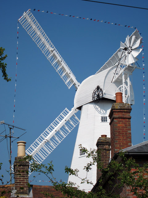
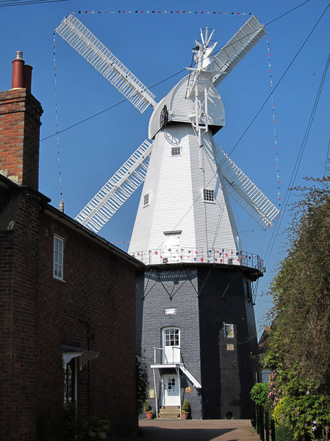
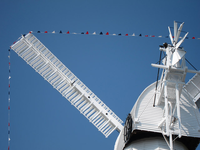
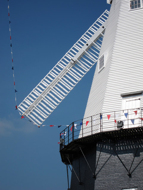
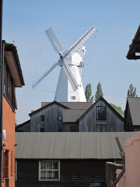
Union Mill, Cranbrook

Union Mill is a Grade I listed smock mill in Cranbrook, Kent, England, which has been restored to working order. It is the tallest smock mill in the United...

Cranbrook School, Kent

Cranbrook School (formerly Queen Elizabeth's Grammar School) is a co-educational state funded boarding and day grammar school in the market town of Cranbrook...

Cranbrook Strict Baptist Chapel

The Cranbrook Strict Baptist Chapel, is a Strict Baptist place of worship in the town of Cranbrook in the English county of Kent. The chapel was built...

St Dunstan's Church, Cranbrook

St Dunstan's Church, also known as the Cathedral of the Weald, in Cranbrook, Kent, England, dates to the late 13th century. It is now Grade I listed.Its...

Cranbrook, Kent

Cranbrook is a town in the civil parish of Cranbrook and Sissinghurst, in the Weald of Kent in South East England. It lies roughly half-way between Maidstone...

Nearby Amenities

Located within 500m of 51.096286,0.55411108
Kindergarten
Lat/Long: 51.0964762/0.5577937
Mini Roundabout
Lat/Long: 51.0966064/0.5563372
Barrier: kissing_gate
Lat/Long: 51.0929912/0.5516642
Barrier: kissing_gate
Lat/Long: 51.0935822/0.5498704
Barrier: kissing_gate
Lat/Long: 51.0925095/0.5531034
Barrier: kissing_gate
Lat/Long: 51.0955381/0.5514808
Mini Roundabout
Lat/Long: 51.0967093/0.5578273
The data included in this document is from www.openstreetmap.org. The data is made available under ODbL.

Have you been to Coursehorn?

Leave your review of Coursehorn below (or comments, questions and feedback).