Coves
Settlement in Renfrewshire
Scotland
Coves
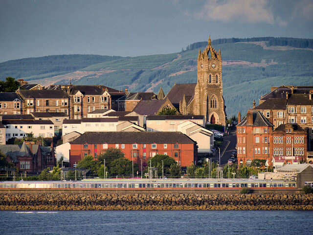
Coves is a small village located in the council area of Renfrewshire, in the west-central Lowlands of Scotland. Situated approximately 4 miles southwest of the town of Greenock, Coves is nestled in a picturesque setting, surrounded by rolling hills and lush countryside.
The village is known for its rich history, dating back to medieval times when it was originally a farming community. Today, Coves retains its rural charm with a population of around 500 residents. The village is a close-knit community, with a strong sense of camaraderie and pride in their local heritage.
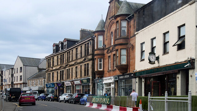
Coves offers a tranquil and idyllic lifestyle, appealing to those seeking a peaceful retreat away from the hustle and bustle of urban living. The village is characterized by quaint cottages and well-maintained gardens, creating a charming and welcoming atmosphere.
Despite its small size, Coves has a few amenities to cater to the needs of its residents. The village boasts a local pub, providing a social hub for locals to gather and catch up. Additionally, there is a primary school within the village, ensuring that families have access to education facilities close to home.
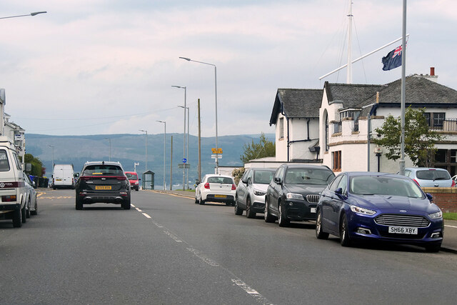
For outdoor enthusiasts, Coves is a gateway to the beautiful surrounding countryside, offering numerous walking trails and nature reserves to explore. The nearby Clyde Muirshiel Regional Park provides ample opportunities for outdoor activities such as hiking, cycling, and birdwatching.
In conclusion, Coves in Renfrewshire is a charming and tranquil village, offering a peaceful lifestyle and a strong sense of community for its residents.
If you have any feedback on the listing, please let us know in the comments section below.
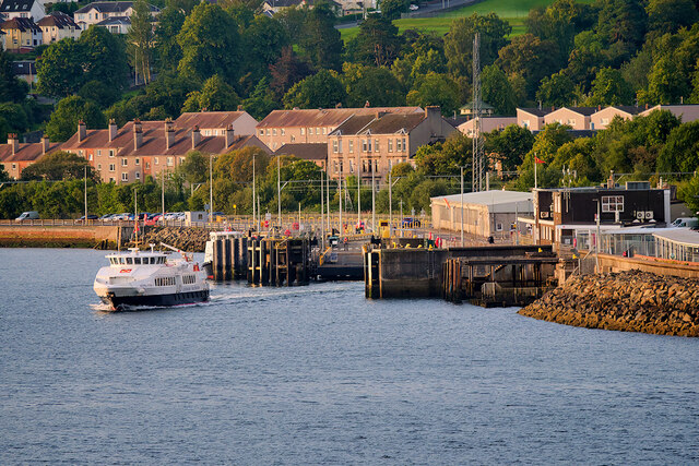
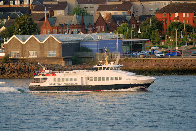
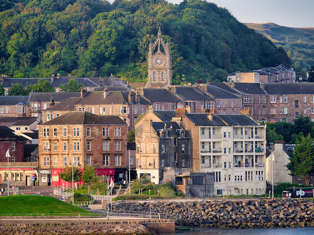
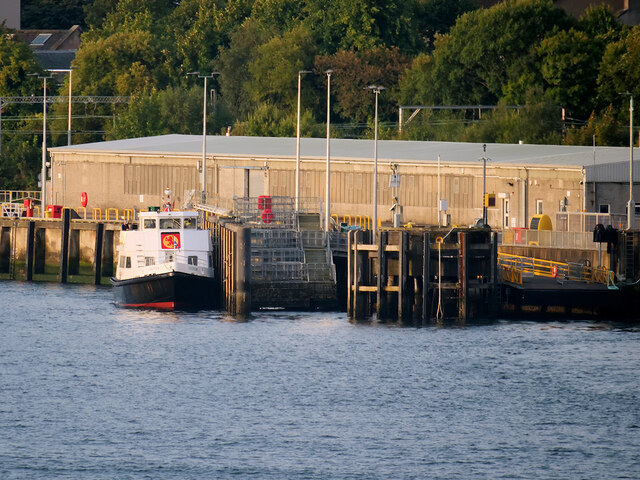
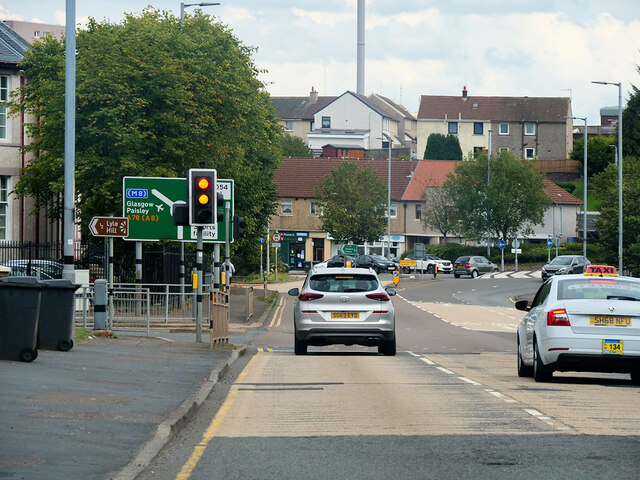
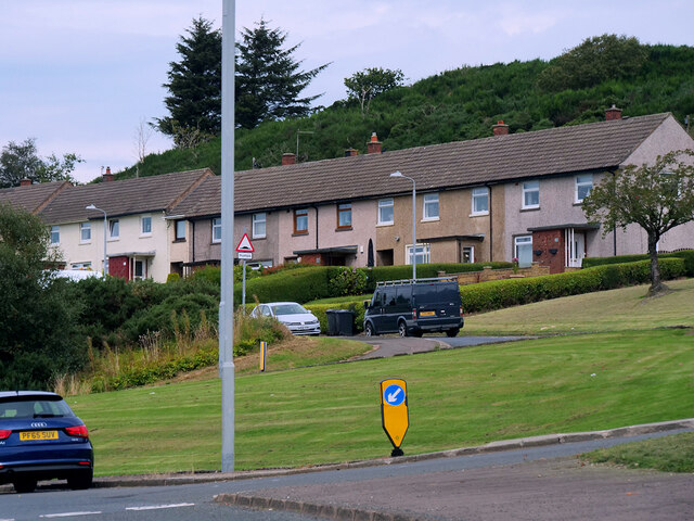
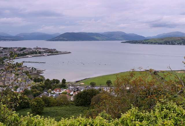
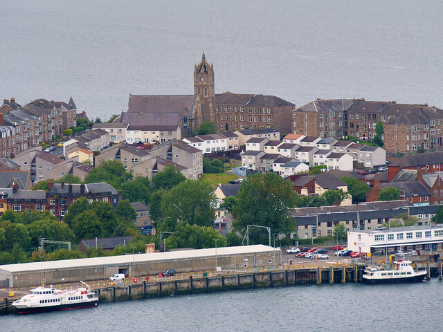
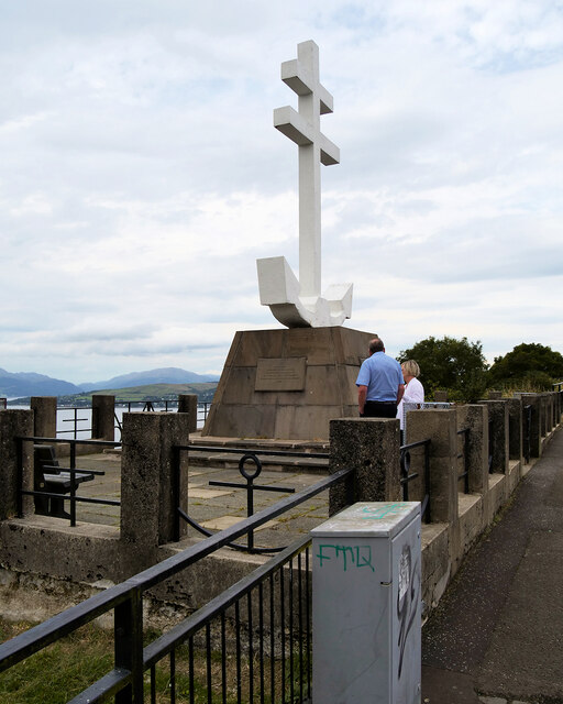
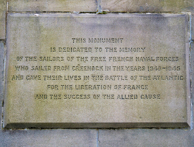
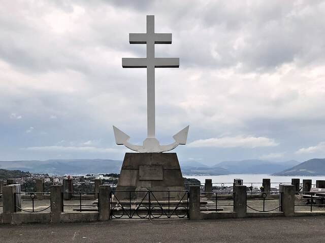
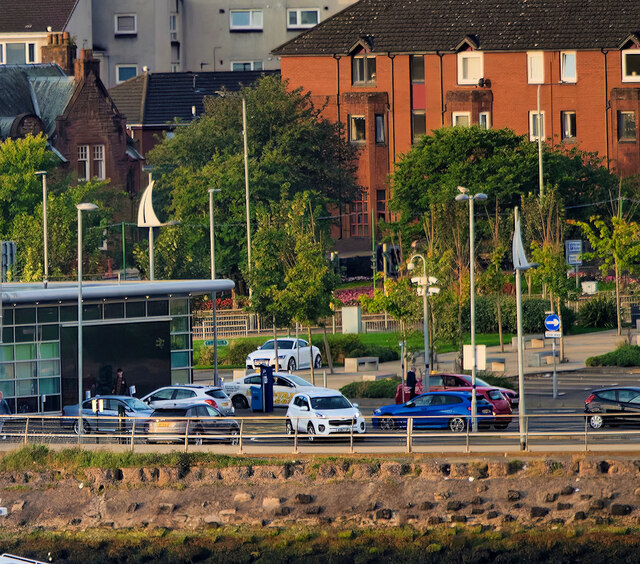
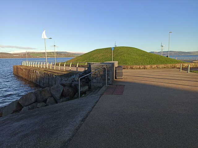
Coves Images
Images are sourced within 2km of 55.945837/-4.8085564 or Grid Reference NS2476. Thanks to Geograph Open Source API. All images are credited.
Coves is located at Grid Ref: NS2476 (Lat: 55.945837, Lng: -4.8085564)
Unitary Authority: Inverclyde
Police Authority: Renfrewshire and Inverclyde
What 3 Words
///respects.mourner.ladder. Near Gourock, Inverclyde
Nearby Locations
Related Wikis
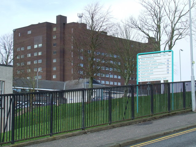
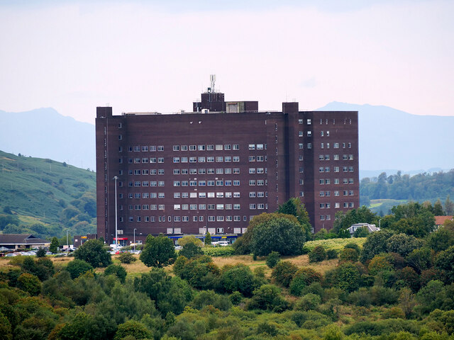
Inverclyde Royal Hospital
Inverclyde Royal Hospital is a district general hospital in Greenock which serves a population area of 125,000 consisting of Inverclyde (including Greenock...

Branchton railway station
Branchton railway station is a railway station in Scotland opened in 1967 under British Rail located in the south-west of the town of Greenock, beside...

Ravenscraig Stadium
Ravenscraig Stadium is a multi-purpose stadium, in Greenock, Inverclyde, Scotland. The stadium is primarily set up for athletics, with a running track...

Inverclyde Academy
Inverclyde Academy is a secondary school in Greenock, Scotland that provides education to the majority of the Inverclyde area. The catchment area for the...
Nearby Amenities
Located within 500m of 55.945837,-4.8085564Have you been to Coves?
Leave your review of Coves below (or comments, questions and feedback).