Coves Reservoir Number 2
Lake, Pool, Pond, Freshwater Marsh in Renfrewshire
Scotland
Coves Reservoir Number 2

Coves Reservoir Number 2, located in Renfrewshire, Scotland, is a freshwater reservoir that serves as an important water source for the surrounding area. This man-made body of water, often referred to as a lake, covers an area of approximately 20 hectares. It is situated in a peaceful and scenic landscape, surrounded by lush greenery and rolling hills.
The reservoir is primarily used for water supply purposes, providing clean and fresh water to nearby communities. It is an integral part of the local water infrastructure, ensuring a reliable supply for domestic, agricultural, and industrial needs. The water in Coves Reservoir Number 2 is sourced from natural rainfall and surface runoff, which is collected and stored within the reservoir.
The reservoir is also home to various species of aquatic plants and animals, creating a vibrant ecosystem. It supports a diverse range of freshwater life, including fish, waterfowl, and invertebrates. The presence of these species adds to the reservoir's ecological value and attracts nature enthusiasts and birdwatchers.
Due to its picturesque setting and tranquil surroundings, Coves Reservoir Number 2 is a popular spot for outdoor activities such as fishing, boating, and walking. Visitors can enjoy the serene atmosphere while engaging in recreational pursuits. The local authorities have also developed amenities like walking trails and picnic areas to enhance visitors' experience and encourage responsible enjoyment of the reservoir.
Overall, Coves Reservoir Number 2 is an essential water resource for the region, showcasing the beauty of Scotland's natural landscapes and supporting a rich variety of plant and animal life.
If you have any feedback on the listing, please let us know in the comments section below.
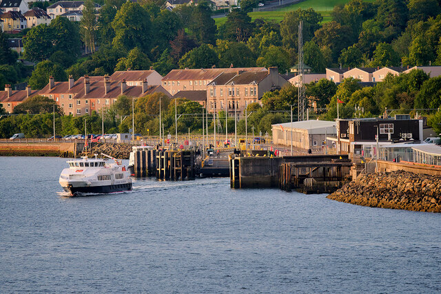
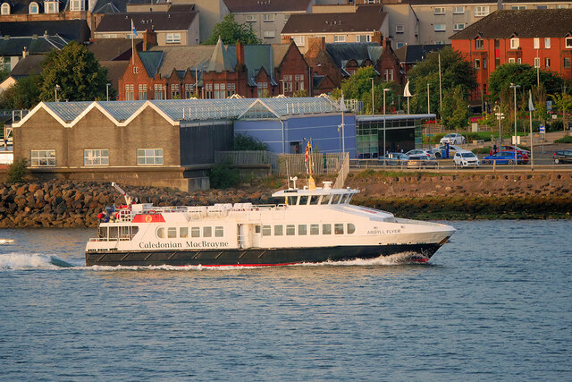
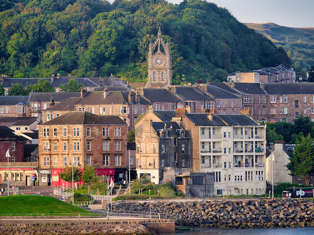
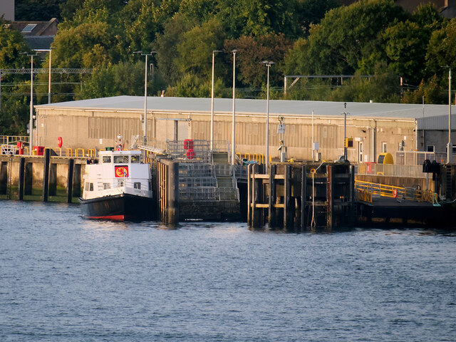
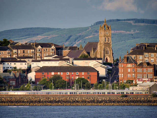
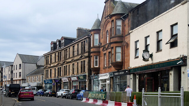
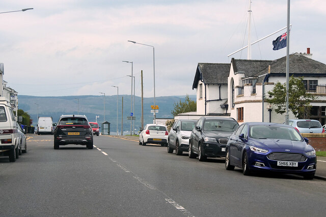
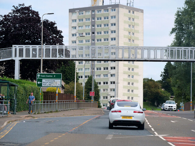
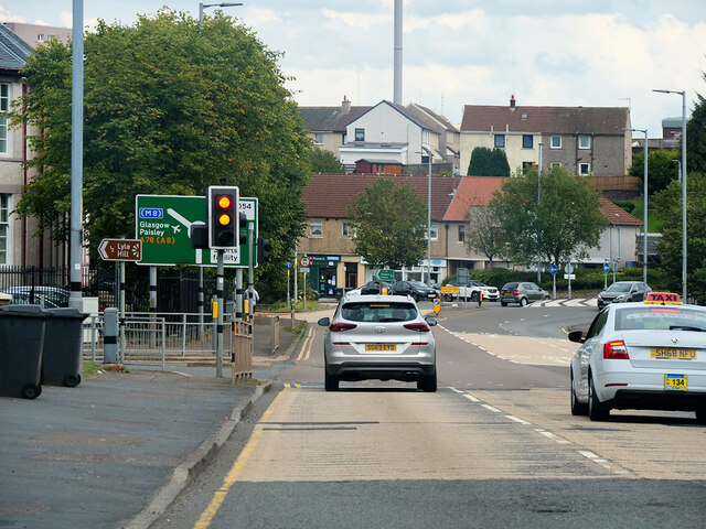
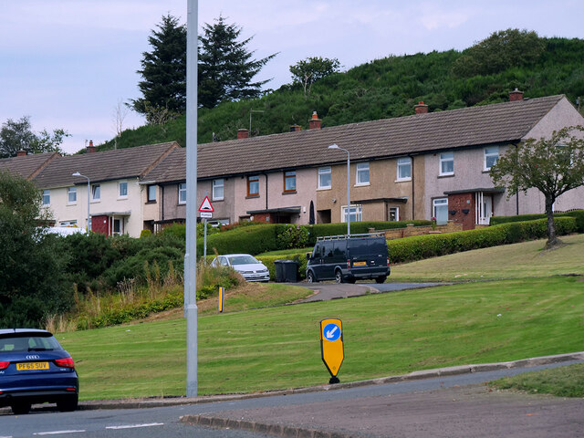
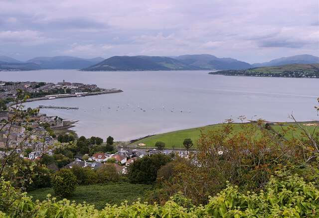
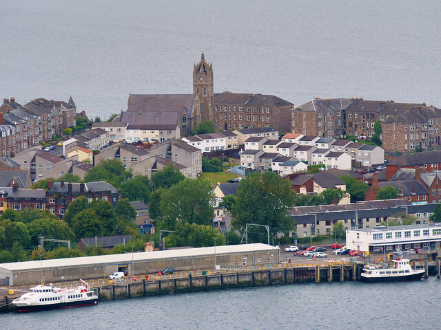
Coves Reservoir Number 2 Images
Images are sourced within 2km of 55.948613/-4.8054735 or Grid Reference NS2476. Thanks to Geograph Open Source API. All images are credited.

Coves Reservoir Number 2 is located at Grid Ref: NS2476 (Lat: 55.948613, Lng: -4.8054735)
Unitary Authority: Inverclyde
Police Authority: Renfrewshire and Inverclyde
What 3 Words
///enhanced.army.overheard. Near Gourock, Inverclyde
Nearby Locations
Related Wikis

Clydeview Academy
Clydeview Academy is a non-denominational secondary school situated in Gourock, Inverclyde. It was founded in 2011 and opened to pupils on 17 August 2011...

St Columba's High School, Gourock
St Columba's High School is a co-educational six-year Roman Catholic, comprehensive secondary school, located next to Tower Hill Gourock, Inverclyde, Scotland...
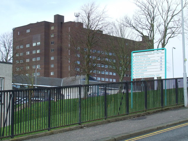
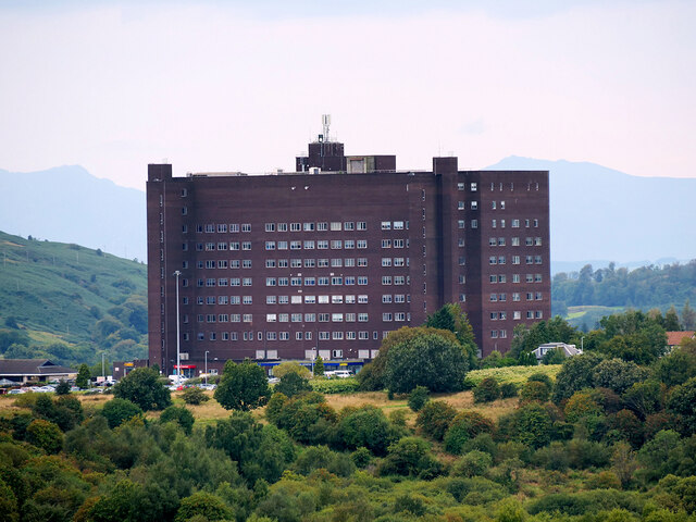
Inverclyde Royal Hospital
Inverclyde Royal Hospital is a district general hospital in Greenock which serves a population area of 125,000 consisting of Inverclyde (including Greenock...

Branchton railway station
Branchton railway station is a railway station in Scotland opened in 1967 under British Rail located in the south-west of the town of Greenock, beside...
Nearby Amenities
Located within 500m of 55.948613,-4.8054735Have you been to Coves Reservoir Number 2?
Leave your review of Coves Reservoir Number 2 below (or comments, questions and feedback).