Gourock Glen

Valley in Renfrewshire

Scotland

Gourock Glen

Argyll Flyer leaving Gourock The Caledonian MacBrayne ferry MV Argyll Flyer departs from Gourock on the 07:20 am sailing to Dunoon.
Argyll Flyer leaving Gourock Credit: David Dixon

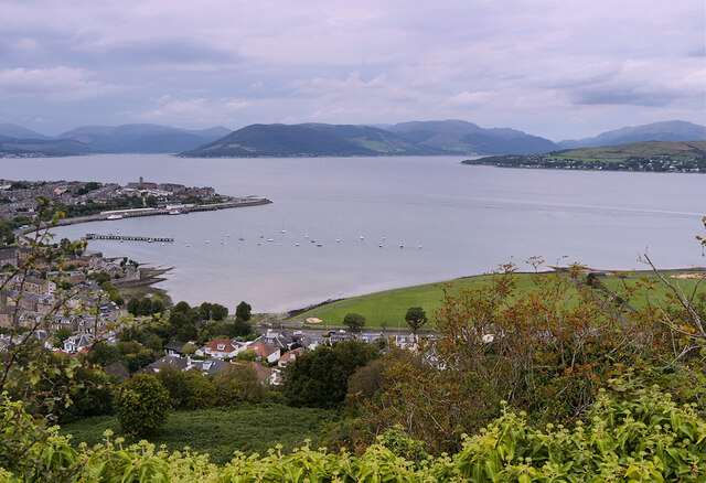
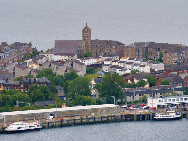
Gourock Glen is a picturesque valley located in Renfrewshire, Scotland. Nestled between the towns of Gourock and Greenock, it is a popular destination for nature enthusiasts and families seeking a tranquil escape.

The glen is known for its stunning natural beauty, characterized by lush greenery, towering trees, and a meandering stream that runs through its heart. It offers a peaceful and serene atmosphere, making it an ideal spot for walking, picnicking, and enjoying the outdoors.

The valley is home to a variety of wildlife, including birds, squirrels, and rabbits, which can be spotted as you explore the trails that wind through the glen. There are also several small waterfalls along the stream, adding to the area's charm.

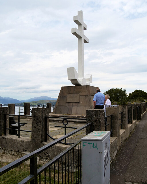
Gourock Glen is not only a haven for nature lovers but also holds historical significance. It is believed to have hosted Bronze Age settlements, with remnants of ancient dwellings still visible in some areas. The glen is also home to a memorial arch dedicated to the soldiers who lost their lives during World War I.

Facilities in the glen include well-maintained paths, seating areas, and a small play park for children. Additionally, there is a café nearby, perfect for enjoying a cup of tea or a light snack after a leisurely stroll.

Overall, Gourock Glen offers a delightful escape from the hustle and bustle of daily life, providing visitors with a peaceful retreat amidst beautiful natural surroundings.

If you have any feedback on the listing, please let us know in the comments section below.

Gourock Glen Images

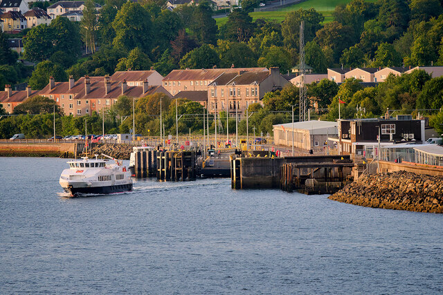
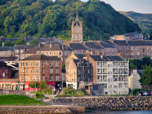
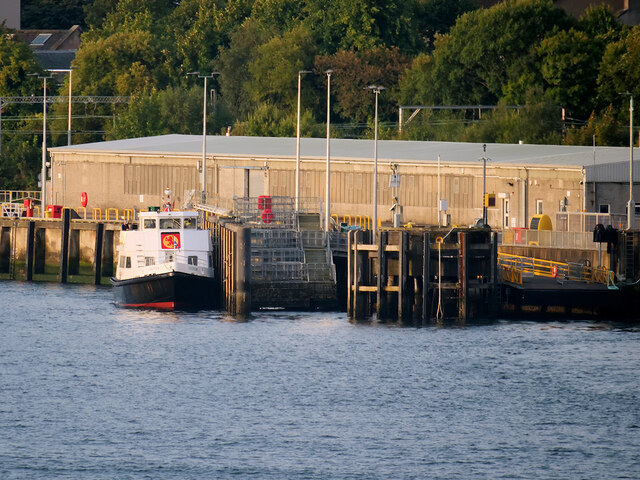
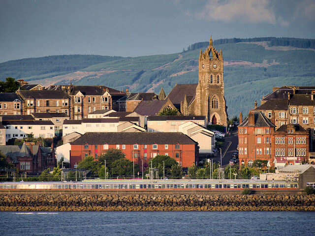
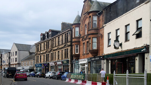
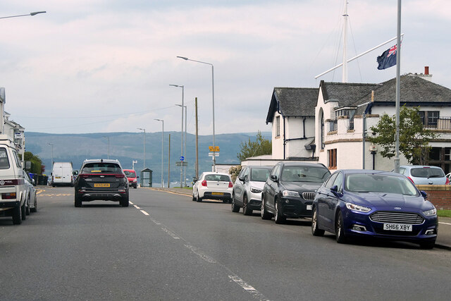
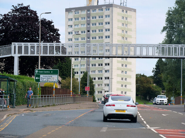
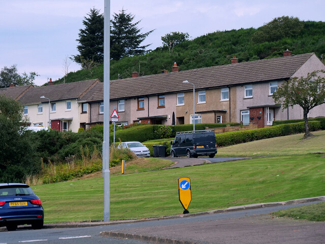
Images are sourced within 2km of 55.953477/-4.8152782 or Grid Reference NS2476. Thanks to Geograph Open Source API. All images are credited.

Argyll Flyer leaving Gourock The Caledonian MacBrayne ferry MV Argyll Flyer departs from Gourock on the 07:20 am sailing to Dunoon.
Argyll Flyer leaving Gourock
The Caledonian MacBrayne ferry MV Argyll Flyer departs from Gourock on the 07:20 am sailing to Dunoon.
Gourock to Dunoon Ferry passing Kempock Point The Caledonian MacBrayne ferry MV Argyll Flyer rounding Kempock Point after leaving Gourock on the 07:20 am sailing to Dunoon.

The MV Argyll Flyer has operated the passenger service between Gourock and Dunoon along with the MV Ali Cat since 30 June 2011. Previously operating as Argyll Ferries until the end of 2018, when the Argyll Ferries service was incorporated into the existing Caledonian MacBrayne Clyde and Hebrides Ferry Service contract.
Gourock to Dunoon Ferry passing Kempock Point
The Caledonian MacBrayne ferry MV Argyll Flyer rounding Kempock Point after leaving Gourock on the 07:20 am sailing to Dunoon. The MV Argyll Flyer has operated the passenger service between Gourock and Dunoon along with the MV Ali Cat since 30 June 2011. Previously operating as Argyll Ferries until the end of 2018, when the Argyll Ferries service was incorporated into the existing Caledonian MacBrayne Clyde and Hebrides Ferry Service contract.
Gourock The Gourock waterfront. The most prominent landmark, set further back, is the tower of St John's Church.
Gourock
The Gourock waterfront. The most prominent landmark, set further back, is the tower of St John's Church.
MV Chieftain at Gourock Pier The Gourock to Kilcreggan ferry MV Chieftain at Gourock.
MV Chieftain at Gourock Pier
The Gourock to Kilcreggan ferry MV Chieftain at Gourock.
Gourock Station and St John's Church The railway station is next to the ferry terminal. St John's Church with its distinctive tower is a prominent feature in the background.
Gourock Station and St John's Church
The railway station is next to the ferry terminal. St John's Church with its distinctive tower is a prominent feature in the background.
Waterfront between Gourock and Greenock The building with the large red doors houses the Royal West of Scotland Amateur Boat Club.
Waterfront between Gourock and Greenock
The building with the large red doors houses the Royal West of Scotland Amateur Boat Club.
Gourock, Kempock Street
Ashton Road Between Greenock and Gourock
Ashton Road
Between Greenock and Gourock
Inverkip Road, Branchton Footbridge The bridge provides a safe pedestrian route between Inverclyde Royal Hospital and Branchton railway station.
Inverkip Road, Branchton Footbridge
The bridge provides a safe pedestrian route between Inverclyde Royal Hospital and Branchton railway station.
Bow Hill, Houses on Lyle Road
View from Lyle Hill Looking down the side of Lyle Hill towards Gourock Bay and The Firth of Clyde
View from Lyle Hill
Looking down the side of Lyle Hill towards Gourock Bay and The Firth of Clyde
Gourock viewed from Lyle Hill A view from Lyle Hill towards the Gourock waterfront with the Church of St John prominent in the background.
Gourock viewed from Lyle Hill
A view from Lyle Hill towards the Gourock waterfront with the Church of St John prominent in the background.
Inverclyde Royal Hospital View from Lyle Hill.
Inverclyde Royal Hospital
View from Lyle Hill.
Monument on Lyle Hill A war memorial to the Free French forces who fought in the Second World War stands on the western brow of Lyle Hill. There was a large Free French Naval Forces base at Greenock during the Second World War and at its end, they designed and built the Memorial which stands beside the highest point on Lyle Road. It was funded by subscriptions raised among their personnel. The Free French Memorial is in the shape of the Cross of Lorraine combined with an anchor. It was unveiled in 1946.

See <a href="https://www.geograph.org.uk/photo/7295301">NS2576 : Dedication on Free French Forces Memorial, Lyle Hill</a>
Monument on Lyle Hill
A war memorial to the Free French forces who fought in the Second World War stands on the western brow of Lyle Hill. There was a large Free French Naval Forces base at Greenock during the Second World War and at its end, they designed and built the Memorial which stands beside the highest point on Lyle Road. It was funded by subscriptions raised among their personnel. The Free French Memorial is in the shape of the Cross of Lorraine combined with an anchor. It was unveiled in 1946. See NS2576 : Dedication on Free French Forces Memorial, Lyle Hill
Dedication on Free French Forces Memorial, Lyle Hill The inscription on the base of <a href="https://www.geograph.org.uk/photo/7295206">NS2576 : Monument on Lyle Hill</a>

THIS MONUMENT
IS DEDICATED TO THE MEMORY
OF THE SAILORS OF THE FREE FRENCH NAVAL FORCES
WHO SAILED FROM GREENOCK IN THE YEARS 1940-1945
AND GAVE THEIR LIVES IN THE BATTLE OF THE ATLANTIC
FOR THE LIBERATION OF FRANCE
AND THE SUCCESS OF THE ALLIED CAUSE
Dedication on Free French Forces Memorial, Lyle Hill
The inscription on the base of NS2576 : Monument on Lyle Hill THIS MONUMENT IS DEDICATED TO THE MEMORY OF THE SAILORS OF THE FREE FRENCH NAVAL FORCES WHO SAILED FROM GREENOCK IN THE YEARS 1940-1945 AND GAVE THEIR LIVES IN THE BATTLE OF THE ATLANTIC FOR THE LIBERATION OF FRANCE AND THE SUCCESS OF THE ALLIED CAUSE
Monument to the Free French Forces, Lyle Hill A war memorial to the Free French forces who fought in the Second World War stands on the western brow of Lyle Hill. There was a large Free French Naval Forces base at Greenock during the Second World War and at its end, they designed and built the Memorial which stands beside the highest point on Lyle Road. It was funded by subscriptions raised among their personnel. The Free French Memorial is in the shape of the Cross of Lorraine combined with an anchor. It was unveiled in 1946.

See <a href="https://www.geograph.org.uk/photo/7295301">NS2576 : Dedication on Free French Forces Memorial, Lyle Hill</a>
Monument to the Free French Forces, Lyle Hill
A war memorial to the Free French forces who fought in the Second World War stands on the western brow of Lyle Hill. There was a large Free French Naval Forces base at Greenock during the Second World War and at its end, they designed and built the Memorial which stands beside the highest point on Lyle Road. It was funded by subscriptions raised among their personnel. The Free French Memorial is in the shape of the Cross of Lorraine combined with an anchor. It was unveiled in 1946. See NS2576 : Dedication on Free French Forces Memorial, Lyle Hill
Firth of Clyde, The Gourock to Kilcreggan Ferry Caledonian MacBrayne's ferry "Chieftain" in the Firth of Clyde, between Gourock and Kilcreggan.
Firth of Clyde, The Gourock to Kilcreggan Ferry
Caledonian MacBrayne's ferry "Chieftain" in the Firth of Clyde, between Gourock and Kilcreggan.
Car Park at Kempock Point
Show me another place!

Gourock Glen is located at Grid Ref: NS2476 (Lat: 55.953477, Lng: -4.8152782)

Unitary Authority: Inverclyde

Police Authority: Renfrewshire and Inverclyde

What 3 Words

///spot.treatment.super. Near Gourock, Inverclyde

Related Wikis

Gourock

Gourock ( GOOR-ək; Scottish Gaelic: Guireag [ˈkuɾʲak]) is a town in the Inverclyde council area and formerly a burgh of the County of Renfrew in the west...

Gourock High School

Gourock High School was a non-denominational comprehensive school catering for boys and girls, 11–18 years of age, in Gourock, Renfrewshire, Scotland....

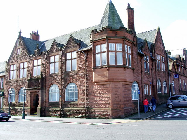
Municipal Buildings, Gourock

The Municipal Buildings are based in Shore Street, Gourock, Inverclyde, Scotland. The structure, which is used as a business centre, is a Category C listed...

Clydeview Academy

Clydeview Academy is a non-denominational secondary school situated in Gourock, Inverclyde. It was founded in 2011 and opened to pupils on 17 August 2011...

Nearby Amenities

Located within 500m of 55.953477,-4.8152782
Recycling
Lat/Long: 55.9570551/-4.8179018
Leisure: bandstand
Lat/Long: 55.9549816/-4.8122829
Bus Stop
Bus: yes
Naptan AtcoCode: 6130631
Naptan NaptanCode: 46825264
Public Transport: platform
Lat/Long: 55.9557994/-4.8121562
Recycling
Kirn Drive recycling centre
Addr City: Gourock
Addr Postcode: PA19 1YZ
Addr Street: Drumshantie Road
Owner: Inverclyde Council
Ownership: municipal
Recycling Type: centre
Website: https://www.inverclyde.gov.uk/environment/recycling-and-waste-services/kirn-drive-recycling-centre
Wikidata: Q106085818
Lat/Long: 55.950344/-4.817878
Atm
Opening Hours: 24/7
Lat/Long: 55.952554/-4.821777
lifestyle express
Shop: convenience
Lat/Long: 55.9525443/-4.8217133
Post Box
Collection Times: Mo-Fr 09:00; Sa 07:00
Operator: Royal Mail
Post Box Type: pillar
Ref: PA19 103D
Royal Cypher: GVIR
Royal Cypher Wikidata: Q33102169
Lat/Long: 55.9525634/-4.8219426
Post Box
Collection Times: Mo-Fr 09:00; Sa 07:00
Operator: Royal Mail
Post Box Type: pillar
Ref: PA19 34D
Royal Cypher: GVIR
Royal Cypher Wikidata: Q33102169
Lat/Long: 55.9535707/-4.816487
Post Box
Lat/Long: 55.9500088/-4.8127932
Bus Stop
Bus: yes
Public Transport: platform
Lat/Long: 55.951889/-4.8121628
Bus Stop
Bus: yes
Naptan AtcoCode: 6130724
Naptan NaptanCode: 46824632
Public Transport: platform
Lat/Long: 55.9492343/-4.8138953
Post Box
Lat/Long: 55.9575942/-4.8135798
Bus Stop
Bus: yes
Public Transport: platform
Shelter: yes
Lat/Long: 55.9503286/-4.8137342
Bus Stop
Bus: yes
Public Transport: platform
Shelter: yes
Lat/Long: 55.9507869/-4.8153062
Bus Stop
Bus: yes
Public Transport: platform
Lat/Long: 55.9560887/-4.814466
Bus Stop
Broomberry Drive
Bus: yes
Naptan AtcoCode: 6130326
Naptan Bearing: NW
Naptan CommonName: Broomberry Drive
Naptan Indicator: after
Naptan NaptanCode: 46823732
Naptan Street: Shore Street
Naptan Verified: no
Public Transport: platform
Shelter: yes
Lat/Long: 55.9567624/-4.8119039
Bus Stop
Chalmers Street
Bench: yes
Bus: yes
Naptan AtcoCode: 6130325
Naptan Bearing: SE
Naptan CommonName: Chalmers Street
Naptan Indicator: before
Naptan NaptanCode: 46823963
Naptan Street: Shore Street
Naptan Verified: no
Public Transport: platform
Shelter: yes
Lat/Long: 55.9569626/-4.812022
Bus Stop
Hilltop Road
Bus: yes
Naptan AtcoCode: 6130373
Naptan NaptanCode: 46824275
Public Transport: platform
Lat/Long: 55.9491604/-4.8136899
Bus Stop
Reservoir Road
Bus: yes
Public Transport: platform
Lat/Long: 55.9521138/-4.812045
Bus Stop
Reservoir Road
Bus: yes
Naptan AtcoCode: 6130375
Naptan NaptanCode: 46824352
Public Transport: platform
Lat/Long: 55.952315/-4.8117768
Bus Stop
Caledonia Crescent
Bus: yes
Naptan AtcoCode: 6130324
Naptan NaptanCode: 46824238
Public Transport: platform
Lat/Long: 55.9556507/-4.8094018
Bus Stop
King Street
Bus: yes
Naptan AtcoCode: 6130327
Naptan Bearing: NW
Naptan CommonName: King Street
Naptan Indicator: at
Naptan NaptanCode: 46823983
Naptan Street: Shore Street
Naptan Verified: no
Public Transport: platform
Lat/Long: 55.9577772/-4.8139608
The data included in this document is from www.openstreetmap.org. The data is made available under ODbL.

Have you been to Gourock Glen?

Leave your review of Gourock Glen below (or comments, questions and feedback).