The Ponds
Lake, Pool, Pond, Freshwater Marsh in Kent Tunbridge Wells
England
The Ponds
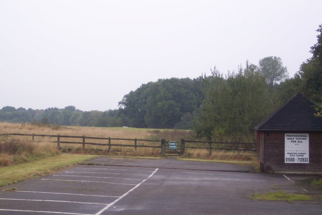
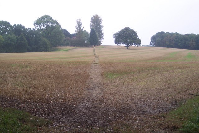
The Ponds, located in Kent, is an expansive natural area encompassing a variety of water bodies, including lakes, pools, ponds, and freshwater marshes. This serene and picturesque landscape is a haven for biodiversity and a popular destination for nature enthusiasts.
The main feature of The Ponds is a large lake that spans over several acres. Its crystal-clear waters are home to various aquatic plants and animals, such as fish, waterfowl, and amphibians. The lake offers opportunities for boating, fishing, and birdwatching, attracting visitors all year round.
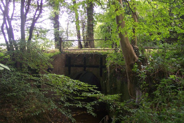
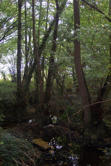
Adjacent to the lake are several smaller pools and ponds, each with its own distinct ecosystem. These smaller water bodies contribute to the overall biodiversity of The Ponds, providing habitats for a wide range of species. They are also aesthetically pleasing, often surrounded by lush vegetation and vibrant flowers.
A significant portion of The Ponds is dedicated to a freshwater marsh, characterized by its shallow water and abundant vegetation. This marshland serves as an important breeding ground for various bird species, including herons, egrets, and warblers. Additionally, the marsh provides a vital habitat for several rare and endangered plant species.
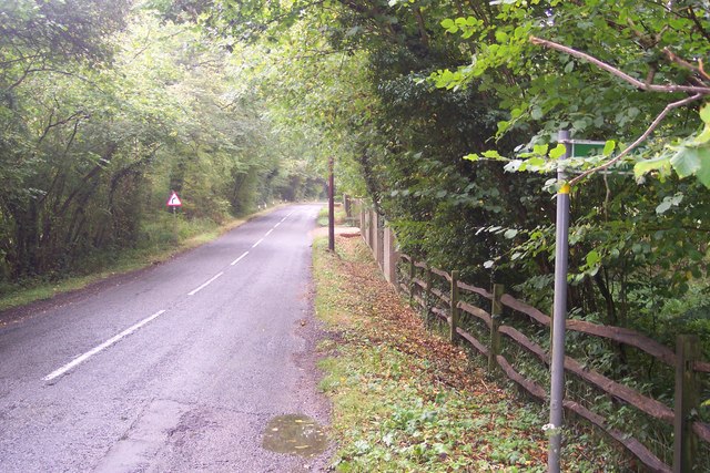
Visitors to The Ponds can explore the area through a series of well-maintained trails and boardwalks, allowing them to get up close to the diverse flora and fauna. Interpretive signs along the way provide educational information about the different species found in the area, enhancing the visitor's understanding and appreciation of the natural environment.
Overall, The Ponds in Kent is a captivating natural landscape, offering a multitude of water bodies and habitats for a rich variety of plant and animal life. It provides a peaceful retreat for nature lovers and serves as an important conservation area for the local ecosystem.
If you have any feedback on the listing, please let us know in the comments section below.
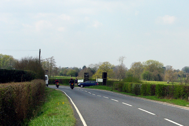
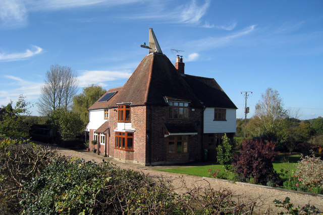
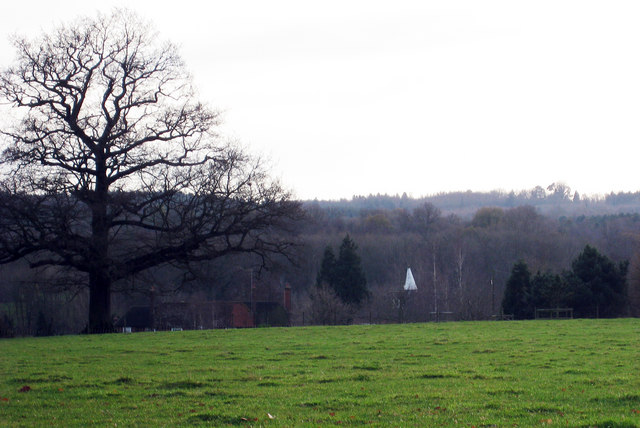
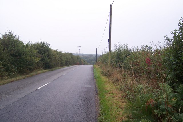
The Ponds Images
Images are sourced within 2km of 51.09842/0.55028634 or Grid Reference TQ7836. Thanks to Geograph Open Source API. All images are credited.


The Ponds is located at Grid Ref: TQ7836 (Lat: 51.09842, Lng: 0.55028634)
Administrative County: Kent
District: Tunbridge Wells
Police Authority: Kent
What 3 Words
///crusaders.vehicle.shins. Near Cranbrook, Kent
Nearby Locations
Related Wikis

Swifts Park
Swifts Park is a former country estate and manor house 1 mile (1.6 km) north-east of the town of Cranbrook in the English county of Kent. Through its history...

Coursehorn
Coursehorn is a hamlet located immediately to the east of the village of Cranbrook in Kent, England. It is the site of the local cemetery; and Dulwich...

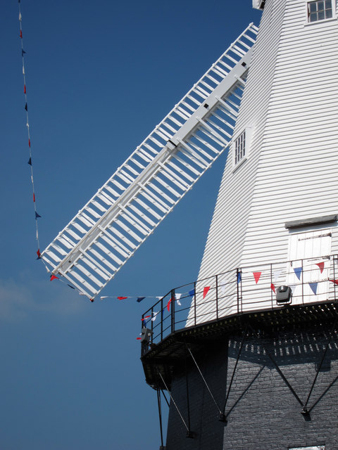
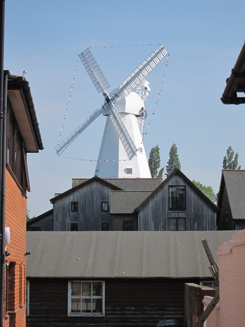
Union Mill, Cranbrook
Union Mill is a Grade I listed smock mill in Cranbrook, Kent, England, which has been restored to working order. It is the tallest smock mill in the United...
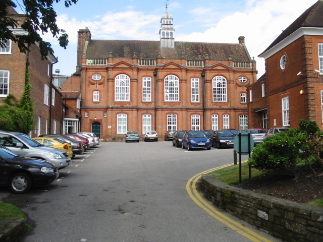
Cranbrook School, Kent
Cranbrook School (formerly Queen Elizabeth's Grammar School) is a co-educational state funded boarding and day grammar school in the market town of Cranbrook...
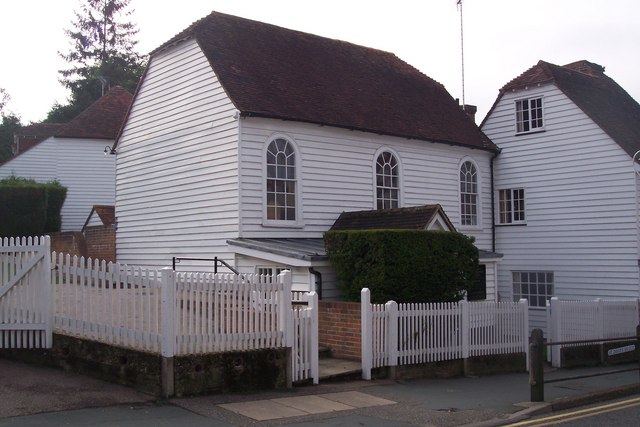
Cranbrook Strict Baptist Chapel
The Cranbrook Strict Baptist Chapel, is a Strict Baptist place of worship in the town of Cranbrook in the English county of Kent. The chapel was built...
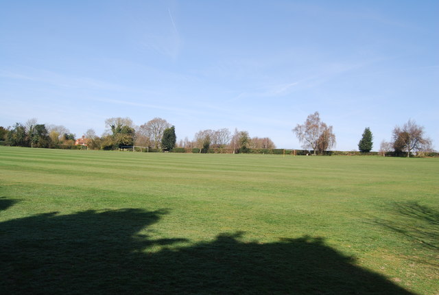
School Field, Cranbrook
School Field Ground is a sports ground owned by Cranbrook School located in the town of Cranbrook, Kent. It is known by the school as Big Side Playing...

St Dunstan's Church, Cranbrook
St Dunstan's Church, also known as the Cathedral of the Weald, in Cranbrook, Kent, England, dates to the late 13th century. It is now Grade I listed.Its...

Cranbrook, Kent
Cranbrook is a town in the civil parish of Cranbrook and Sissinghurst, in the Weald of Kent in South East England. It lies roughly half-way between Maidstone...
Nearby Amenities
Located within 500m of 51.09842,0.55028634Have you been to The Ponds?
Leave your review of The Ponds below (or comments, questions and feedback).