The Park
Downs, Moorland in Kent Tunbridge Wells
England
The Park
The Park, Kent is a stunning and picturesque area located in the southeastern part of England. It is renowned for its breathtaking natural beauty, characterized by its rolling hills, expansive downs, and vast moorland. Covering a significant area of land, The Park offers visitors a diverse range of outdoor activities and an opportunity to immerse themselves in nature.
The downs in The Park are known for their lush greenery and panoramic views. Visitors can enjoy long walks or hikes along the many trails, taking in the stunning vistas and enjoying the peaceful atmosphere. The abundance of wildlife and rare plant species adds to the charm of this area, making it a popular destination for nature enthusiasts and photographers.
The moorland in The Park is another highlight, offering a unique landscape characterized by wide open spaces, heather-covered hills, and scattered gorse bushes. This area is ideal for those seeking solitude and tranquility, as well as birdwatching and nature photography. The moorland is home to several species of birds, including the rare Dartford warbler and the hobby falcon.
In addition to its natural beauty, The Park also boasts historical and cultural significance. There are several ancient sites and landmarks scattered throughout the area, such as ancient burial mounds, Roman fortifications, and medieval ruins. These sites provide a glimpse into the rich history of the region and offer visitors a chance to explore and learn about the past.
Overall, The Park, Kent is a truly remarkable destination that offers a combination of natural beauty, outdoor activities, and historical significance. It is a place where visitors can escape the hustle and bustle of everyday life and connect with nature in a truly memorable way.
If you have any feedback on the listing, please let us know in the comments section below.
The Park Images
Images are sourced within 2km of 51.102266/0.54388398 or Grid Reference TQ7836. Thanks to Geograph Open Source API. All images are credited.


The Park is located at Grid Ref: TQ7836 (Lat: 51.102266, Lng: 0.54388398)
Administrative County: Kent
District: Tunbridge Wells
Police Authority: Kent
What 3 Words
///outermost.losing.domestic. Near Cranbrook, Kent
Nearby Locations
Related Wikis

Swifts Park
Swifts Park is a former country estate and manor house 1 mile (1.6 km) north-east of the town of Cranbrook in the English county of Kent. Through its history...
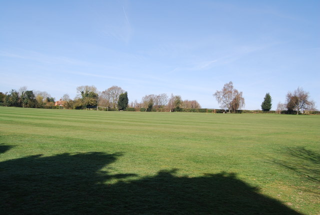
School Field, Cranbrook
School Field Ground is a sports ground owned by Cranbrook School located in the town of Cranbrook, Kent. It is known by the school as Big Side Playing...
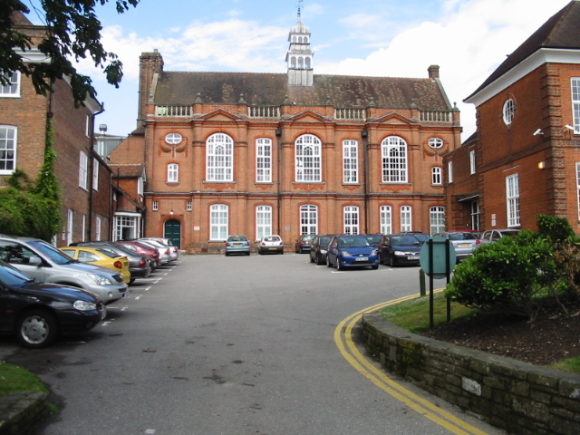
Cranbrook School, Kent
Cranbrook School (formerly Queen Elizabeth's Grammar School) is a co-educational state funded boarding and day grammar school in the market town of Cranbrook...

St Dunstan's Church, Cranbrook
St Dunstan's Church, also known as the Cathedral of the Weald, in Cranbrook, Kent, England, dates to the late 13th century. It is now Grade I listed.Its...

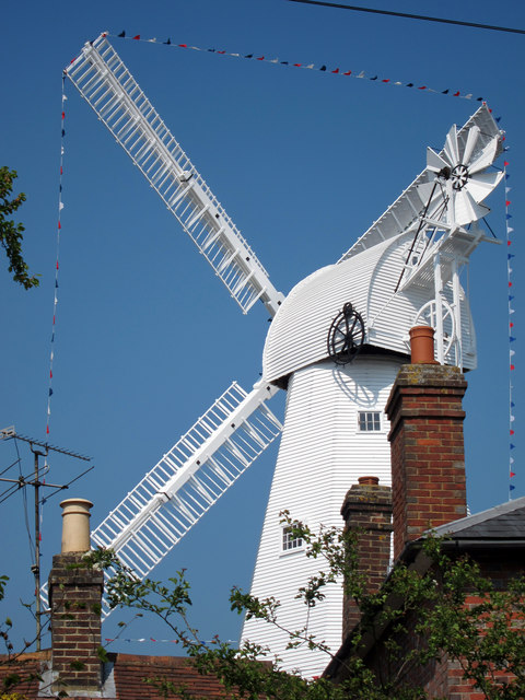
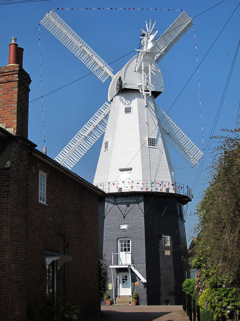
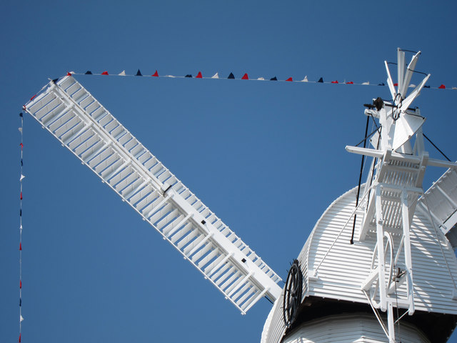
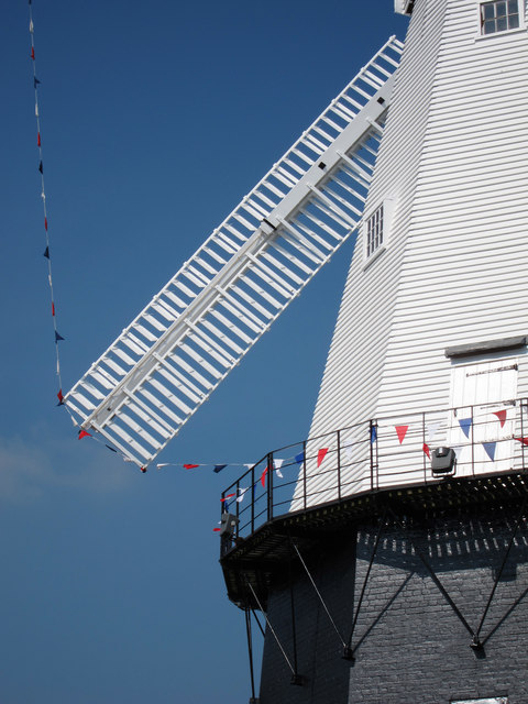
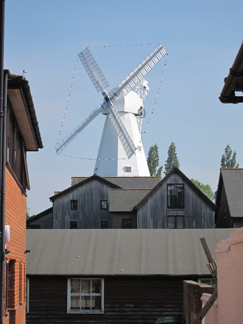
Union Mill, Cranbrook
Union Mill is a Grade I listed smock mill in Cranbrook, Kent, England, which has been restored to working order. It is the tallest smock mill in the United...

Cranbrook, Kent
Cranbrook is a town in the civil parish of Cranbrook and Sissinghurst, in the Weald of Kent in South East England. It lies roughly half-way between Maidstone...
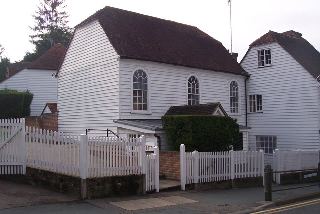
Cranbrook Strict Baptist Chapel
The Cranbrook Strict Baptist Chapel, is a Strict Baptist place of worship in the town of Cranbrook in the English county of Kent. The chapel was built...

High Weald Academy
The High Weald Academy was a coeducational secondary school that opened in 1971 located in Cranbrook, Kent, England. The academy permanently closed in...
Nearby Amenities
Located within 500m of 51.102266,0.54388398Have you been to The Park?
Leave your review of The Park below (or comments, questions and feedback).