Home Heath
Downs, Moorland in Suffolk West Suffolk
England
Home Heath
Home Heath is a picturesque area located in Suffolk, England, known for its stunning natural beauty and serene ambiance. It encompasses the Downs and Moorland, offering a diverse range of landscapes and attractions for visitors and residents alike.
The Downs, a prominent feature of Home Heath, are rolling hills covered in lush greenery, providing breathtaking panoramic views of the surrounding countryside. This area is a haven for nature enthusiasts, with its extensive network of walking trails and bridleways that allow visitors to explore its stunning vistas and encounter a variety of wildlife.
Moorland, on the other hand, is characterized by its expansive open spaces, heather-clad hills, and scattered woodlands. This distinct landscape offers a unique opportunity for outdoor activities, including hiking, birdwatching, and even horseback riding.
Home Heath is also home to several charming villages and towns, each with its own distinct character. These communities offer a range of amenities, including quaint pubs, local shops, and historical landmarks, providing a glimpse into the rich cultural heritage of the area.
In terms of accessibility, Home Heath benefits from its proximity to major transportation routes, making it easily accessible by car or public transport. The area is well-connected to nearby towns and cities, allowing residents to enjoy the tranquility of rural living while still being within reach of urban amenities.
Overall, Home Heath, Suffolk (Downs, Moorland) is a haven of natural beauty, offering a peaceful retreat from the hustle and bustle of modern life. With its stunning landscapes, charming communities, and abundant outdoor activities, it is a destination that truly captivates all who visit.
If you have any feedback on the listing, please let us know in the comments section below.
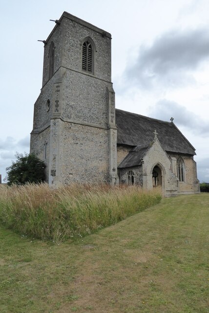
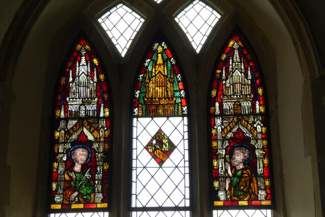
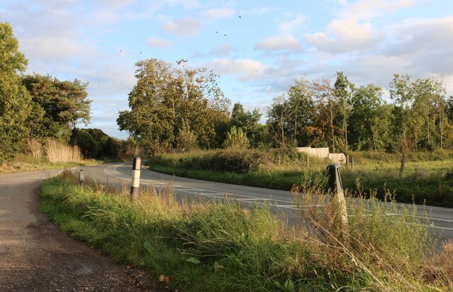
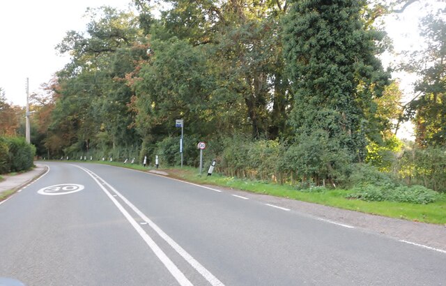
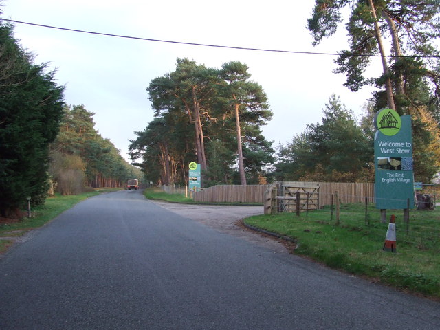
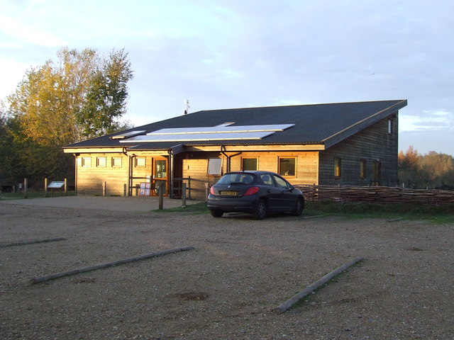
Home Heath Images
Images are sourced within 2km of 52.307555/0.61293221 or Grid Reference TL7870. Thanks to Geograph Open Source API. All images are credited.
Home Heath is located at Grid Ref: TL7870 (Lat: 52.307555, Lng: 0.61293221)
Administrative County: Suffolk
District: West Suffolk
Police Authority: Suffolk
What 3 Words
///bordering.frozen.shuttered. Near Mildenhall, Suffolk
Nearby Locations
Related Wikis

Lackford
Lackford is a village and civil parish in the West Suffolk district of Suffolk in eastern England. Located around four miles north-west of Bury St Edmunds...

West Stow Heath
West Stow Heath is a 44.3-hectare (109-acre) biological Site of Special Scientific Interest west of West Stow in Suffolk. It is part of the Breckland Special...

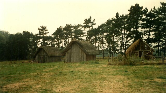
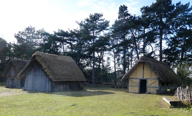
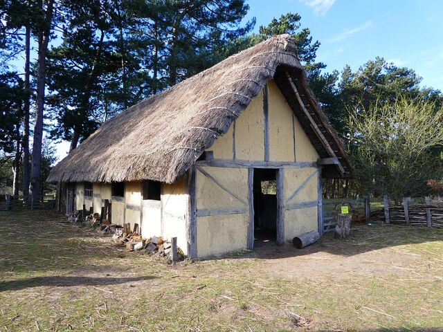
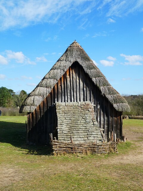
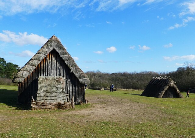
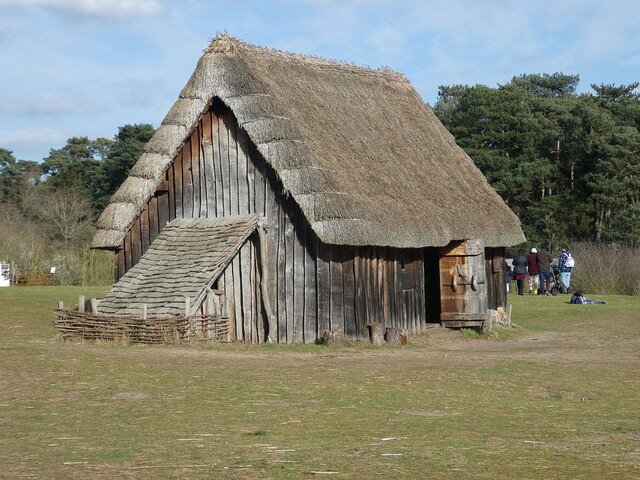
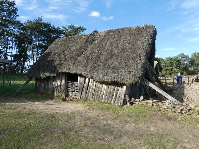
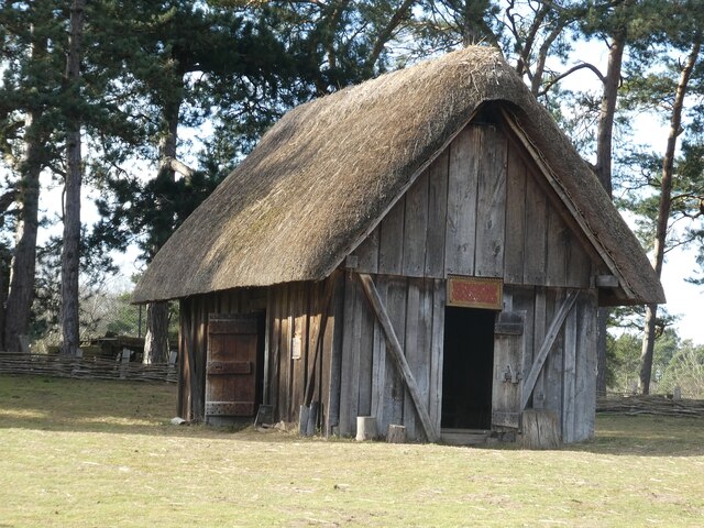
West Stow Anglo-Saxon Village
West Stow Anglo-Saxon Village is an archaeological site and an open-air museum located near to West Stow in Suffolk, eastern England. Evidence for intermittent...

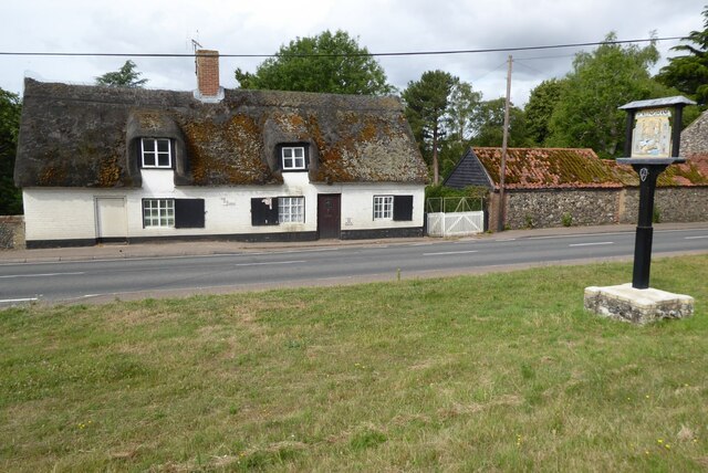
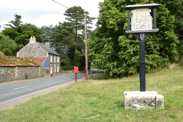
Icklingham
Icklingham is a village and civil parish in the West Suffolk district of Suffolk in eastern England. It is located about 7 miles (11 km) north-west of...
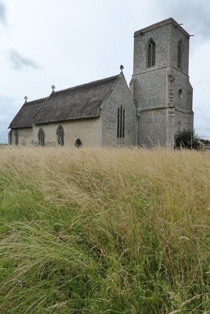
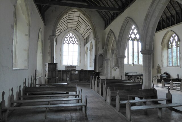
All Saints' Church, Icklingham
All Saints' Church is a redundant Anglican church in the village of Icklingham, Suffolk, England. It is recorded in the National Heritage List for England...

Lackford Lakes
Lackford Lakes is a 105.8-hectare (261-acre) biological Site of Special Scientific Interest (SSSI) north and east of Lackford in Suffolk. The SSSI is part...

Black Ditches, Cavenham
Black Ditches is an earthwork close to the village of Cavenham of Suffolk, and part of it is a biological Site of Special Scientific Interest (SSSI). The...

Cavenham
Cavenham is a village and civil parish in Suffolk, England, 10 kilometres (6 mi) northwest of Bury St Edmunds. It is in the local government district of...
Nearby Amenities
Located within 500m of 52.307555,0.61293221Have you been to Home Heath?
Leave your review of Home Heath below (or comments, questions and feedback).